Spring Grove is a borough in York County, Pennsylvania, United States. The population was 2,372 at the 2020 census.].
| Name: | Spring Grove borough |
|---|---|
| LSAD Code: | 21 |
| LSAD Description: | borough (suffix) |
| State: | Pennsylvania |
| County: | York County |
| Incorporated: | 1882 |
| Elevation: | 443 ft (135 m) |
| Total Area: | 0.78 sq mi (2.03 km²) |
| Land Area: | 0.78 sq mi (2.03 km²) |
| Water Area: | 0.00 sq mi (0.00 km²) |
| Total Population: | 2,372 |
| Population Density: | 2,781.61/sq mi (1,073.97/km²) |
| Area code: | 717 |
| FIPS code: | 4273192 |
Online Interactive Map
Click on ![]() to view map in "full screen" mode.
to view map in "full screen" mode.
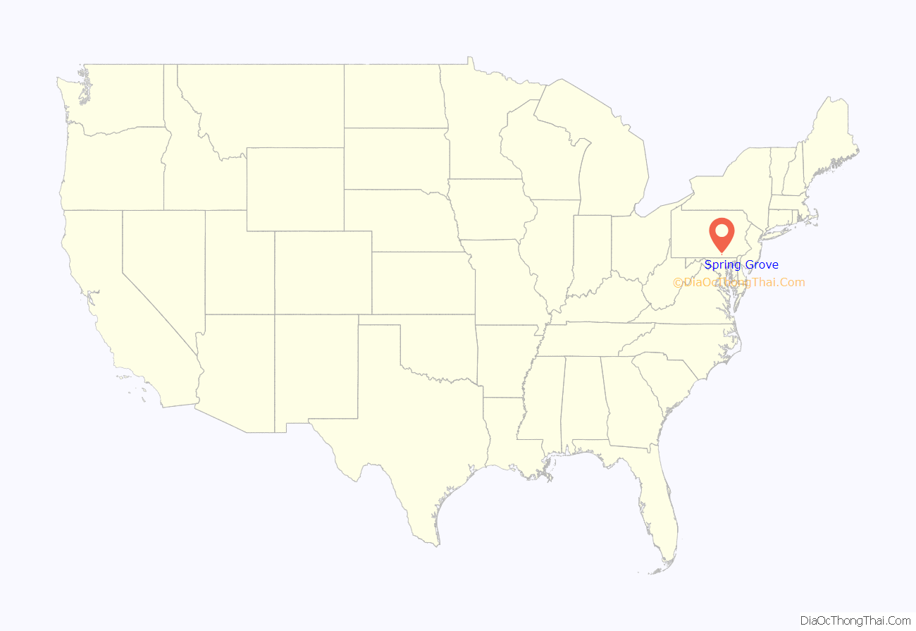
Spring Grove location map. Where is Spring Grove borough?
History
The site of Spring Grove was laid out in 1747 on the banks of Codorus Creek, midway between York and Hanover, by a surveyor for the Penns. Its growth since that time falls into two periods, each lasting approximately 100 years. The first witnessed development of the borough as an iron-making center. The second, which extends to the present day, is as a papermaking center. The businesses of both periods have relied on certain natural resources of the area.
Originally, Spring Grove was a part of Paradise Township and was contained within the boundaries of Lancaster County. York County was formed in 1749 and Jackson Township, including Spring Grove, in 1853. The residents of the community petitioned the County Court in 1882 for incorporation as a borough, and in August of that year their petition was granted. Since that time, the borough has grown in area as a result of annexation of the surrounding land, the largest annexation having taken place in 1953.
In the 1770s, attracted by the presence of water, iron ore and wood for charcoal in the Pigeon Hills, an iron manufacturer established a forge at “Spring Forge”. It is known as Spring Grove. The early German and English woodchoppers who flocked to this first Pennsylvania iron industry west of the Susquehanna River were the forebears of today’s community. By the mid-19th century, the manufacturing of iron had grown to a point where almost 200 short tons (180,000 kg) of iron bar were produced locally each year.
By 1851, however, the iron business had been suspended, and its buildings were converted to the manufacturing of paper. Once again local resources, wood and water, were largely responsible for the location of this industry in the Spring Grove area. Thirteen years later, the plant was purchased by P. H. Glatfelter for $14,000.
Other basic industries, such as brick-making and the manufacture of explosives, have from time to time established themselves in the borough. None, however, have remained as long nor have been as successful as the paper mill. Since 1865, the growth of the borough has reflected growth of the Glatfelter Paper Mill.
In August 2018, Glatfelder announced an agreement to sell its Specialty Papers division, which includes the Spring Grove mill, to private investment firm Lindsay Goldberg for $360 million, with the sale to close before 2019. Mill operations are expected to continue.
The Spring Grove Borough Historic District was listed on the National Register of Historic Places in 1984.
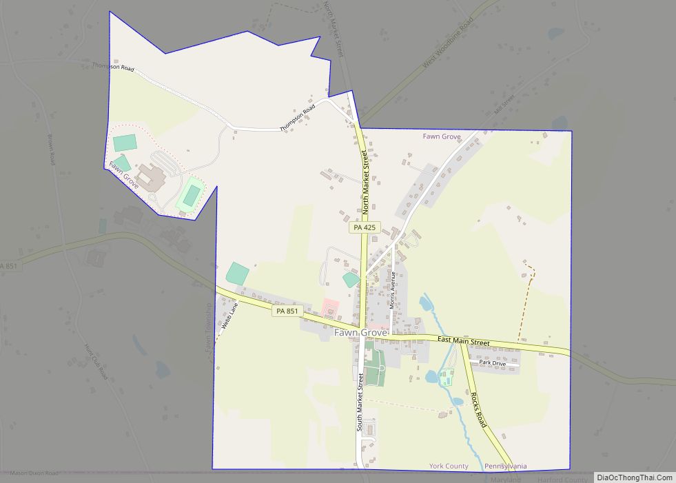
Spring Grove Road Map
Spring Grove city Satellite Map
Geography
Spring Grove is located at 39°52′37″N 76°51′56″W / 39.87694°N 76.86556°W / 39.87694; -76.86556 (39.876827, -76.865536).
According to the United States Census Bureau, the borough has a total area of 0.8 square miles (2.1 km), all land.
See also
Map of Pennsylvania State and its subdivision:- Adams
- Allegheny
- Armstrong
- Beaver
- Bedford
- Berks
- Blair
- Bradford
- Bucks
- Butler
- Cambria
- Cameron
- Carbon
- Centre
- Chester
- Clarion
- Clearfield
- Clinton
- Columbia
- Crawford
- Cumberland
- Dauphin
- Delaware
- Elk
- Erie
- Fayette
- Forest
- Franklin
- Fulton
- Greene
- Huntingdon
- Indiana
- Jefferson
- Juniata
- Lackawanna
- Lancaster
- Lawrence
- Lebanon
- Lehigh
- Luzerne
- Lycoming
- Mc Kean
- Mercer
- Mifflin
- Monroe
- Montgomery
- Montour
- Northampton
- Northumberland
- Perry
- Philadelphia
- Pike
- Potter
- Schuylkill
- Snyder
- Somerset
- Sullivan
- Susquehanna
- Tioga
- Union
- Venango
- Warren
- Washington
- Wayne
- Westmoreland
- Wyoming
- York
- Alabama
- Alaska
- Arizona
- Arkansas
- California
- Colorado
- Connecticut
- Delaware
- District of Columbia
- Florida
- Georgia
- Hawaii
- Idaho
- Illinois
- Indiana
- Iowa
- Kansas
- Kentucky
- Louisiana
- Maine
- Maryland
- Massachusetts
- Michigan
- Minnesota
- Mississippi
- Missouri
- Montana
- Nebraska
- Nevada
- New Hampshire
- New Jersey
- New Mexico
- New York
- North Carolina
- North Dakota
- Ohio
- Oklahoma
- Oregon
- Pennsylvania
- Rhode Island
- South Carolina
- South Dakota
- Tennessee
- Texas
- Utah
- Vermont
- Virginia
- Washington
- West Virginia
- Wisconsin
- Wyoming
