Stormstown is a census-designated place (CDP) in Centre County, Pennsylvania, United States. It is part of the State College, Pennsylvania Metropolitan Statistical Area. The population was 2,366 at the 2010 census. Its population grew nearly 48% between 2000 and 2010, due largely to the development of several new neighborhoods in the area.
| Name: | Stormstown CDP |
|---|---|
| LSAD Code: | 57 |
| LSAD Description: | CDP (suffix) |
| State: | Pennsylvania |
| County: | Centre County |
| Elevation: | 1,329 ft (405 m) |
| Total Area: | 8.0 sq mi (20.6 km²) |
| Land Area: | 8.0 sq mi (20.6 km²) |
| Water Area: | 0.0 sq mi (0.0 km²) |
| Total Population: | 2,366 |
| Population Density: | 298/sq mi (114.9/km²) |
| ZIP code: | 16870 |
| Area code: | 814 |
| FIPS code: | 4274544 |
| GNISfeature ID: | 1193484 |
Online Interactive Map
Click on ![]() to view map in "full screen" mode.
to view map in "full screen" mode.
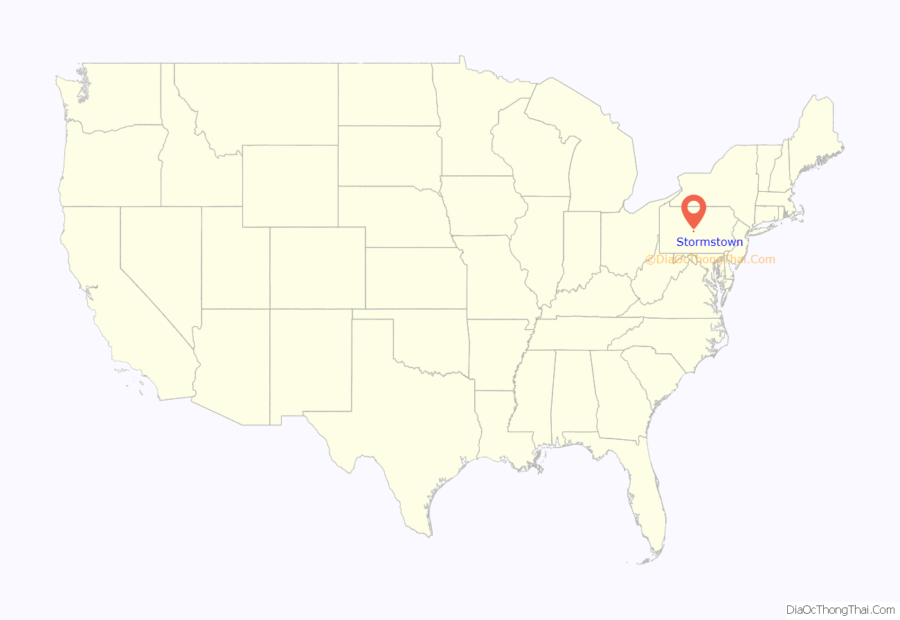
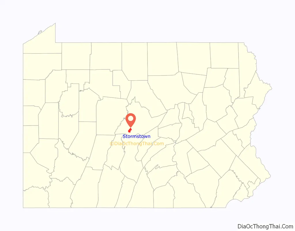
Stormstown location map. Where is Stormstown CDP?
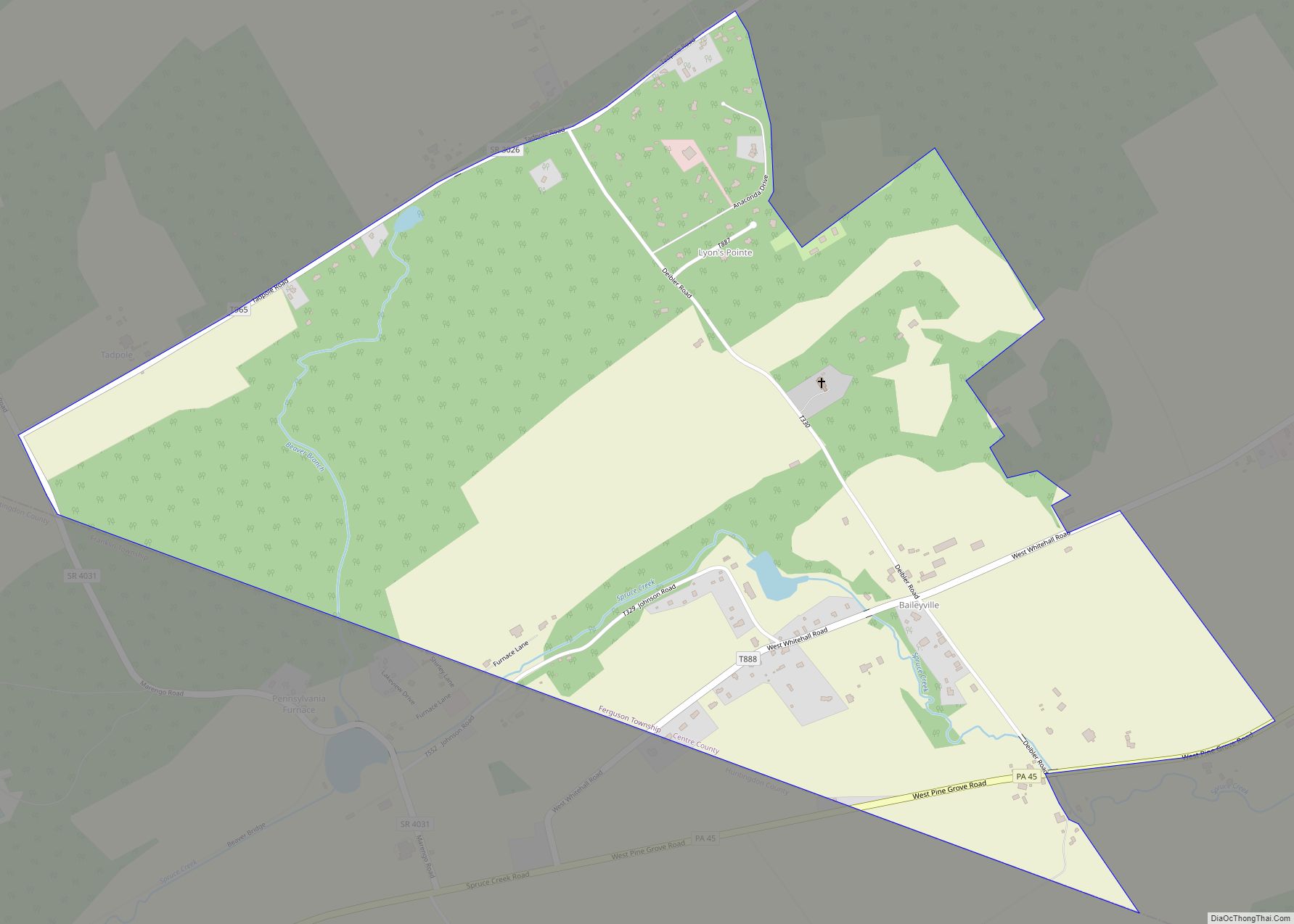
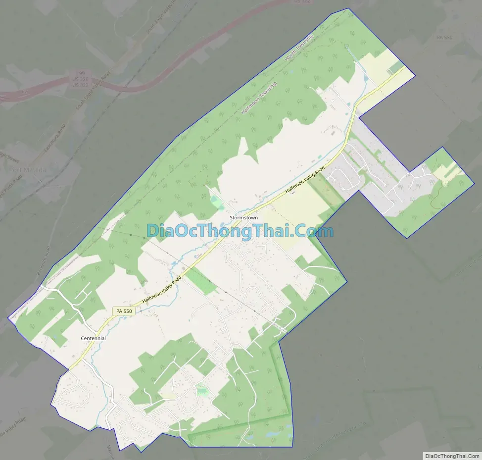
Stormstown Road Map
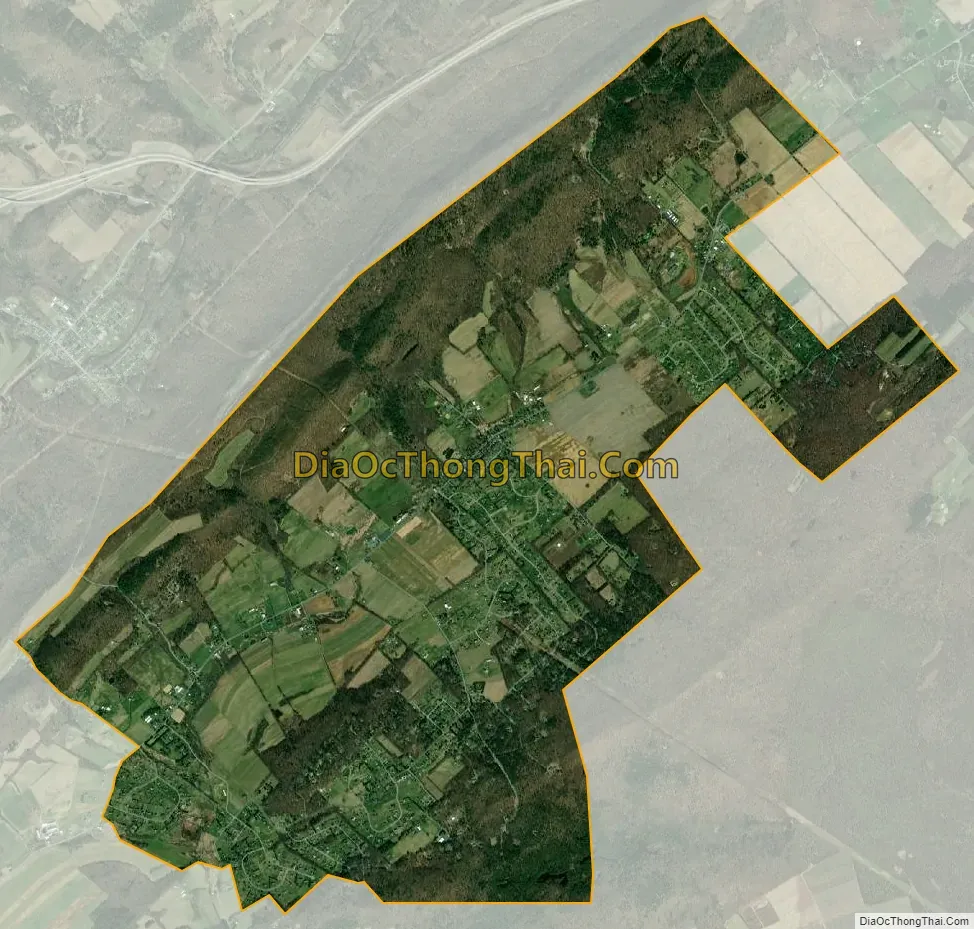
Stormstown city Satellite Map
Geography
Stormstown is located in southwestern Centre County in northern Halfmoon Township, in the Halfmoon Valley with Bald Eagle Mountain to the northwest. The CDP extends southwest to include the hamlet of Centennial. Pennsylvania Route 550 passes through the community, leading northeast 4 miles (6 km) to Atherton Street (former U.S. Route 322) at a point 6 miles (10 km) west of the center of State College. From Centennial, a road leads northwest over Bald Eagle Mountain 2 miles (3 km) to Port Matilda and 3 miles (5 km) to Interstate 99.
According to the United States Census Bureau, the CDP has a total area of 8.0 square miles (20.6 km), all land.
See also
Map of Pennsylvania State and its subdivision:- Adams
- Allegheny
- Armstrong
- Beaver
- Bedford
- Berks
- Blair
- Bradford
- Bucks
- Butler
- Cambria
- Cameron
- Carbon
- Centre
- Chester
- Clarion
- Clearfield
- Clinton
- Columbia
- Crawford
- Cumberland
- Dauphin
- Delaware
- Elk
- Erie
- Fayette
- Forest
- Franklin
- Fulton
- Greene
- Huntingdon
- Indiana
- Jefferson
- Juniata
- Lackawanna
- Lancaster
- Lawrence
- Lebanon
- Lehigh
- Luzerne
- Lycoming
- Mc Kean
- Mercer
- Mifflin
- Monroe
- Montgomery
- Montour
- Northampton
- Northumberland
- Perry
- Philadelphia
- Pike
- Potter
- Schuylkill
- Snyder
- Somerset
- Sullivan
- Susquehanna
- Tioga
- Union
- Venango
- Warren
- Washington
- Wayne
- Westmoreland
- Wyoming
- York
- Alabama
- Alaska
- Arizona
- Arkansas
- California
- Colorado
- Connecticut
- Delaware
- District of Columbia
- Florida
- Georgia
- Hawaii
- Idaho
- Illinois
- Indiana
- Iowa
- Kansas
- Kentucky
- Louisiana
- Maine
- Maryland
- Massachusetts
- Michigan
- Minnesota
- Mississippi
- Missouri
- Montana
- Nebraska
- Nevada
- New Hampshire
- New Jersey
- New Mexico
- New York
- North Carolina
- North Dakota
- Ohio
- Oklahoma
- Oregon
- Pennsylvania
- Rhode Island
- South Carolina
- South Dakota
- Tennessee
- Texas
- Utah
- Vermont
- Virginia
- Washington
- West Virginia
- Wisconsin
- Wyoming