Sugar Notch is a borough in Luzerne County, Pennsylvania, United States. The population was nine hundred and ninety-six at the time of the 2020 census.
| Name: | Sugar Notch borough |
|---|---|
| LSAD Code: | 21 |
| LSAD Description: | borough (suffix) |
| State: | Pennsylvania |
| County: | Luzerne County |
| Incorporated: | 1867 |
| Total Area: | 0.99 sq mi (2.58 km²) |
| Land Area: | 0.99 sq mi (2.58 km²) |
| Water Area: | 0.00 sq mi (0.00 km²) |
| Total Population: | 996 |
| Population Density: | 966.83/sq mi (373.20/km²) |
| Area code: | 570 |
| FIPS code: | 4275072 |
| Website: | www.sugarnotchborough.com |
Online Interactive Map
Click on ![]() to view map in "full screen" mode.
to view map in "full screen" mode.
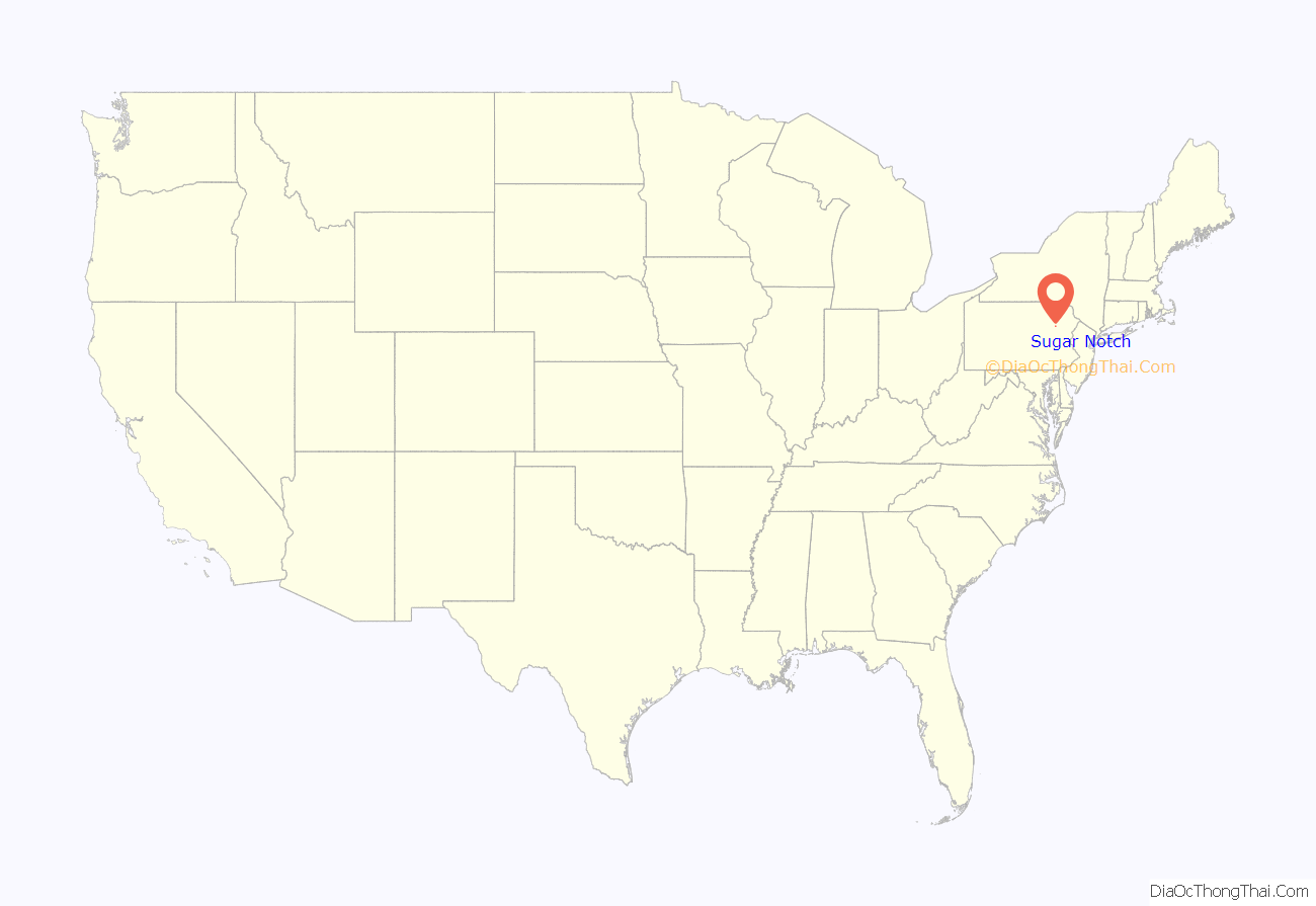
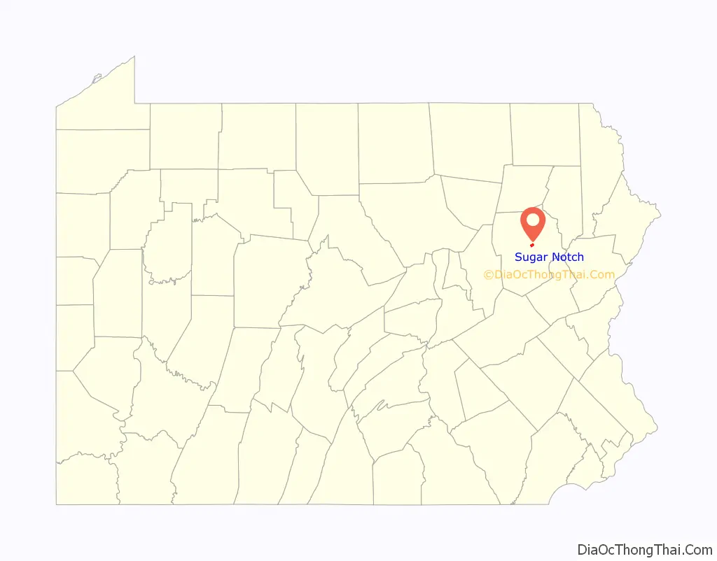
Sugar Notch location map. Where is Sugar Notch borough?
History
Sugar Notch was incorporated as a borough on April 3, 1867; it was named for the sugar maple trees surrounding the community. It was originally part of Hanover Township. The first burgess was Charles Parrish and the first council was composed of David Caird, Henry B. Plumb, Samuel Roberts, Adam Shiedel, and George Cyphers.
In 1869, the Lehigh and Susquehanna Railroad was constructed near the borough; it was used to transport coal. Sugar Notch was a popular coal mining community in the 1800s and 1900s. The current municipal building was built in 1921.
In 1946, following the end of World War II, the Roosevelt Memorial was dedicated within the borough; Eleanor Roosevelt attended the ceremony.
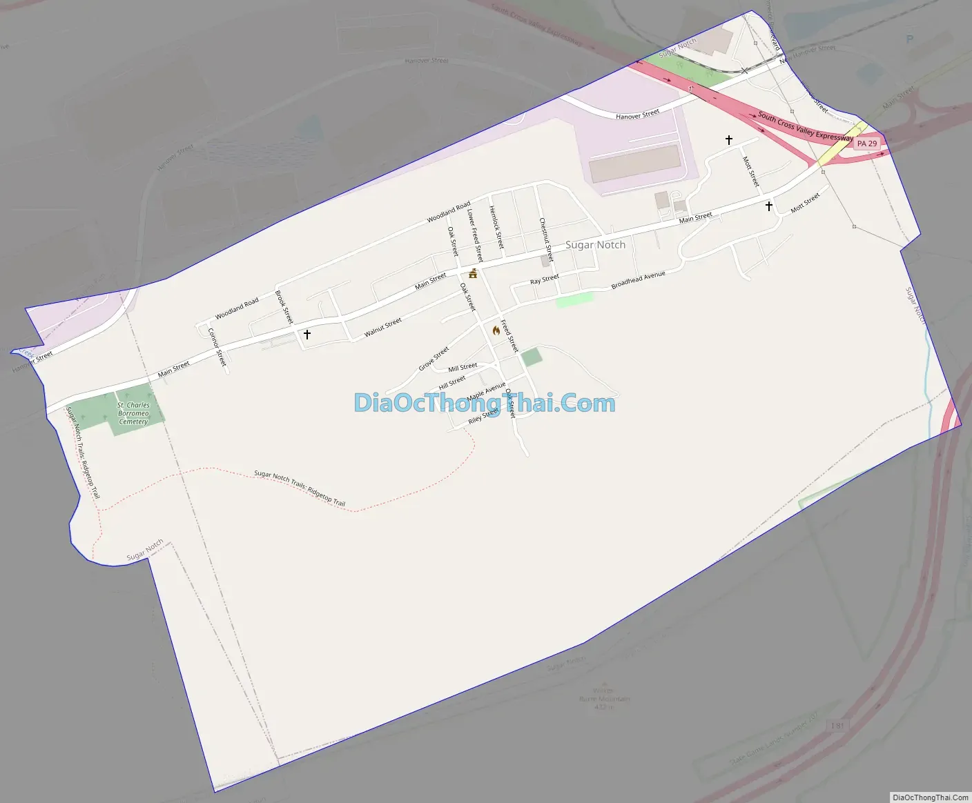
Sugar Notch Road Map
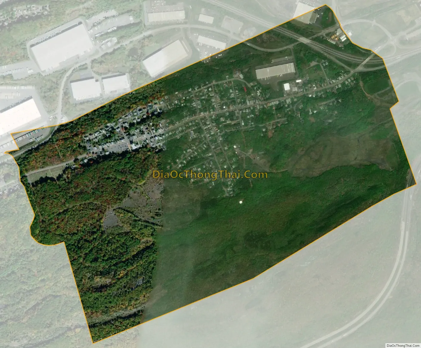
Sugar Notch city Satellite Map
Geography
Sugar Notch is located at 41°11′46″N 75°55′50″W / 41.19611°N 75.93056°W / 41.19611; -75.93056 (41.196149, -75.930448).
According to the United States Census Bureau, the borough has a total area of 1.1 square miles (2.8 km), all land.
See also
Map of Pennsylvania State and its subdivision:- Adams
- Allegheny
- Armstrong
- Beaver
- Bedford
- Berks
- Blair
- Bradford
- Bucks
- Butler
- Cambria
- Cameron
- Carbon
- Centre
- Chester
- Clarion
- Clearfield
- Clinton
- Columbia
- Crawford
- Cumberland
- Dauphin
- Delaware
- Elk
- Erie
- Fayette
- Forest
- Franklin
- Fulton
- Greene
- Huntingdon
- Indiana
- Jefferson
- Juniata
- Lackawanna
- Lancaster
- Lawrence
- Lebanon
- Lehigh
- Luzerne
- Lycoming
- Mc Kean
- Mercer
- Mifflin
- Monroe
- Montgomery
- Montour
- Northampton
- Northumberland
- Perry
- Philadelphia
- Pike
- Potter
- Schuylkill
- Snyder
- Somerset
- Sullivan
- Susquehanna
- Tioga
- Union
- Venango
- Warren
- Washington
- Wayne
- Westmoreland
- Wyoming
- York
- Alabama
- Alaska
- Arizona
- Arkansas
- California
- Colorado
- Connecticut
- Delaware
- District of Columbia
- Florida
- Georgia
- Hawaii
- Idaho
- Illinois
- Indiana
- Iowa
- Kansas
- Kentucky
- Louisiana
- Maine
- Maryland
- Massachusetts
- Michigan
- Minnesota
- Mississippi
- Missouri
- Montana
- Nebraska
- Nevada
- New Hampshire
- New Jersey
- New Mexico
- New York
- North Carolina
- North Dakota
- Ohio
- Oklahoma
- Oregon
- Pennsylvania
- Rhode Island
- South Carolina
- South Dakota
- Tennessee
- Texas
- Utah
- Vermont
- Virginia
- Washington
- West Virginia
- Wisconsin
- Wyoming


