Tipton is a census-designated place (CDP) in Blair County, Pennsylvania, United States. The population was 1,083 at the 2010 census. It was a stop on the former Pennsylvania Railroad Main Line between Tyrone and Altoona.
| Name: | Tipton CDP |
|---|---|
| LSAD Code: | 57 |
| LSAD Description: | CDP (suffix) |
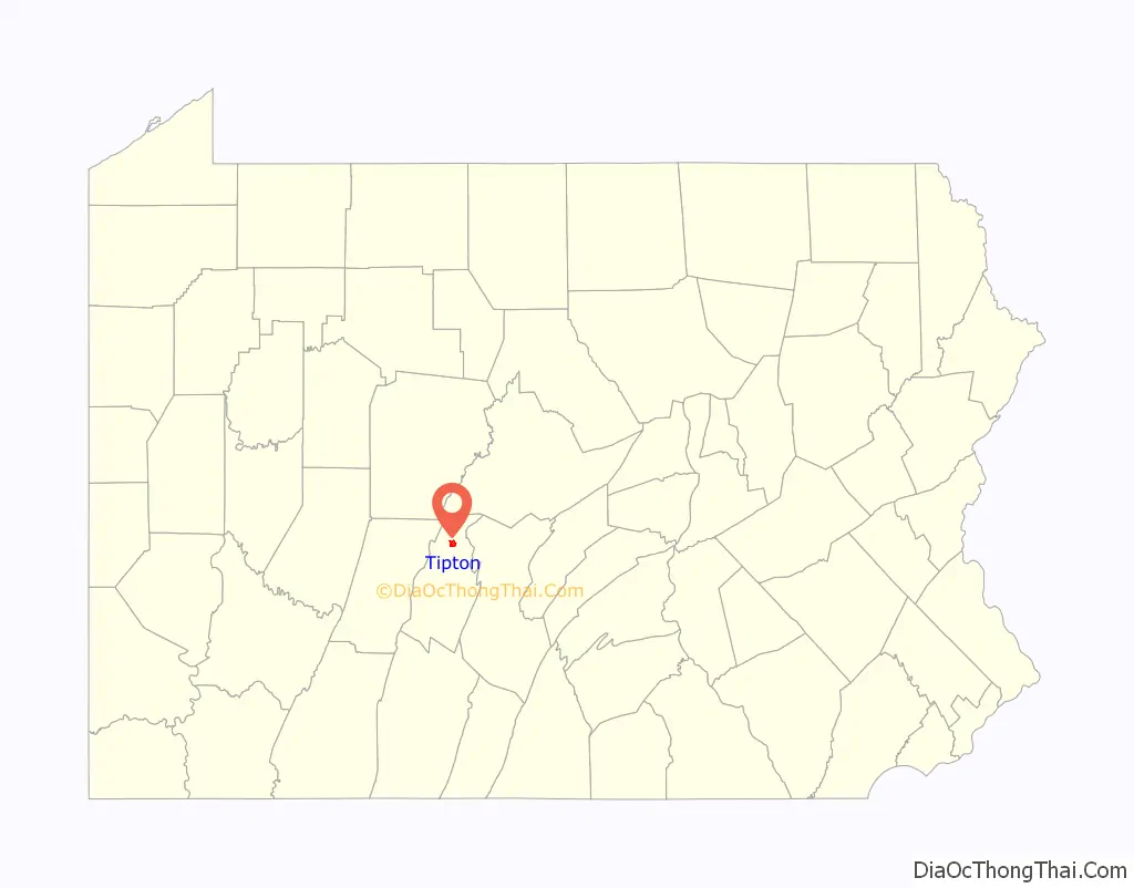
| State: | Pennsylvania |
| County: | Blair County |
| Total Area: | 1.02 sq mi (2.64 km²) |
| Land Area: | 1.02 sq mi (2.64 km²) |
| Water Area: | 0.00 sq mi (0.00 km²) |
| Total Population: | 826 |
| Population Density: | 809.01/sq mi (312.32/km²) |
| FIPS code: | 4276880 |
Online Interactive Map
Click on ![]() to view map in "full screen" mode.
to view map in "full screen" mode.
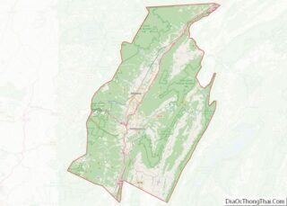
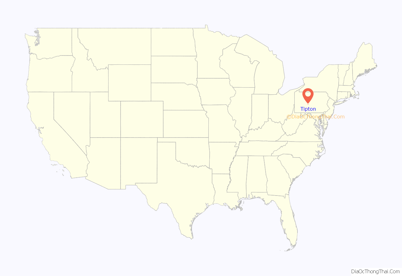
Tipton location map. Where is Tipton CDP?
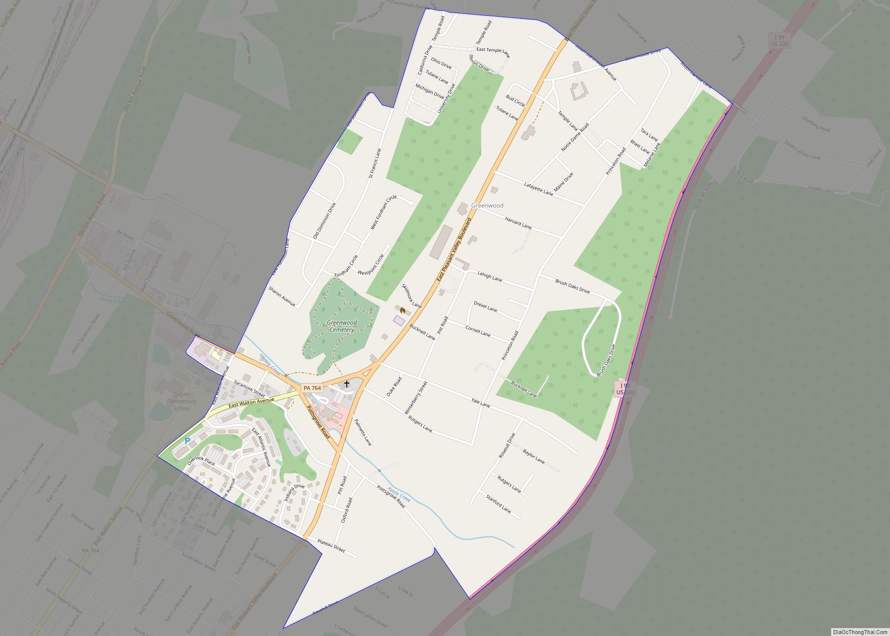
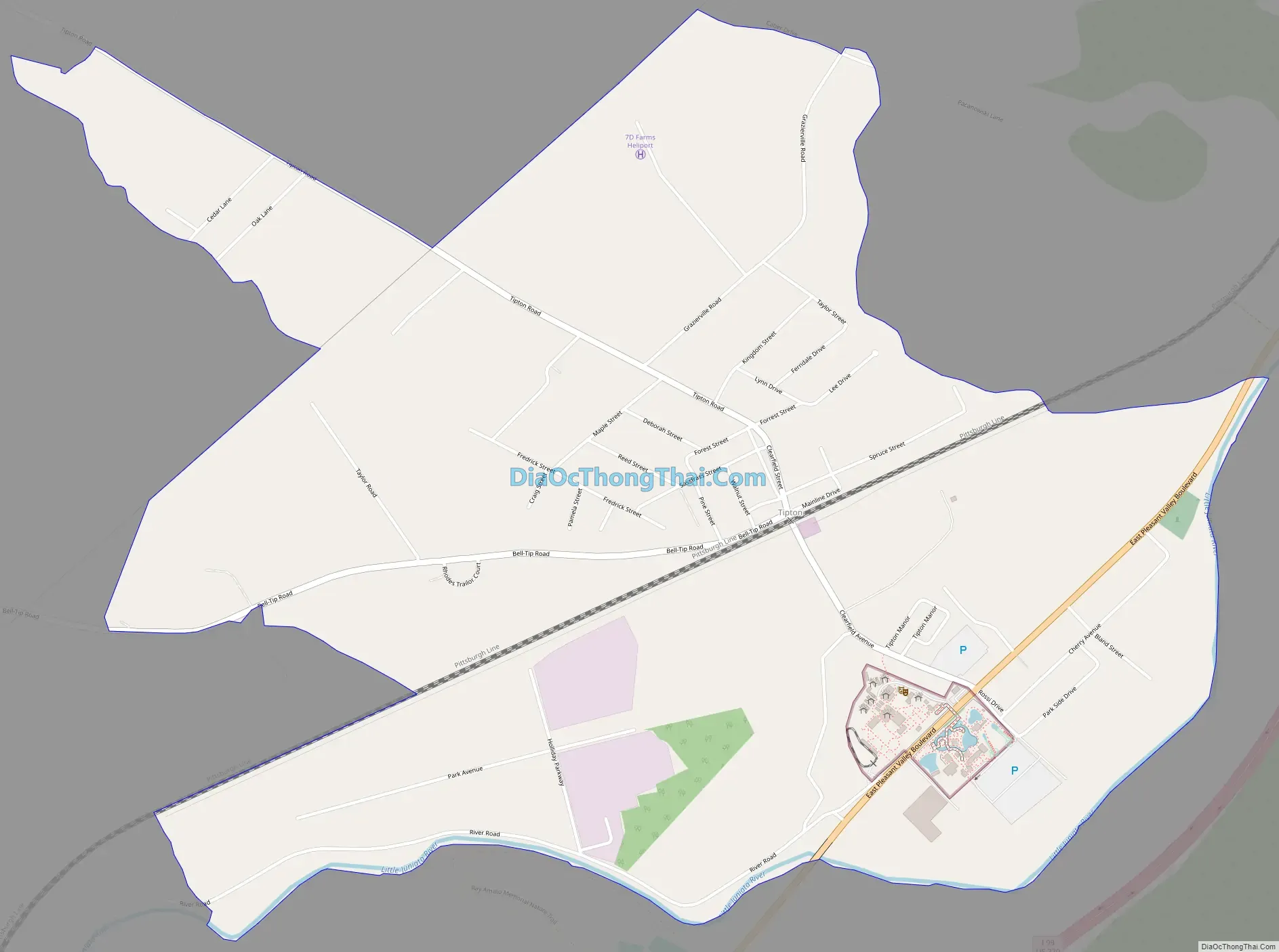
Tipton Road Map
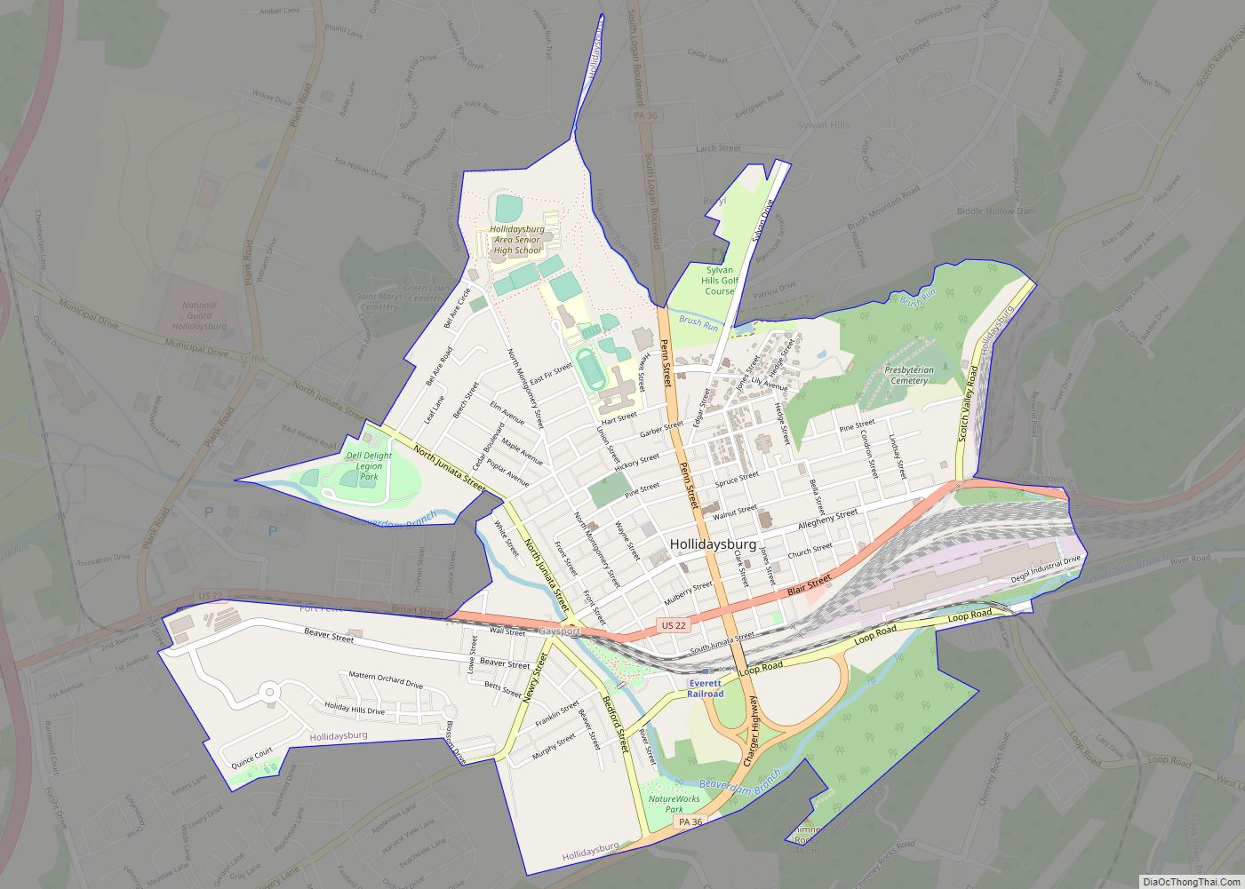
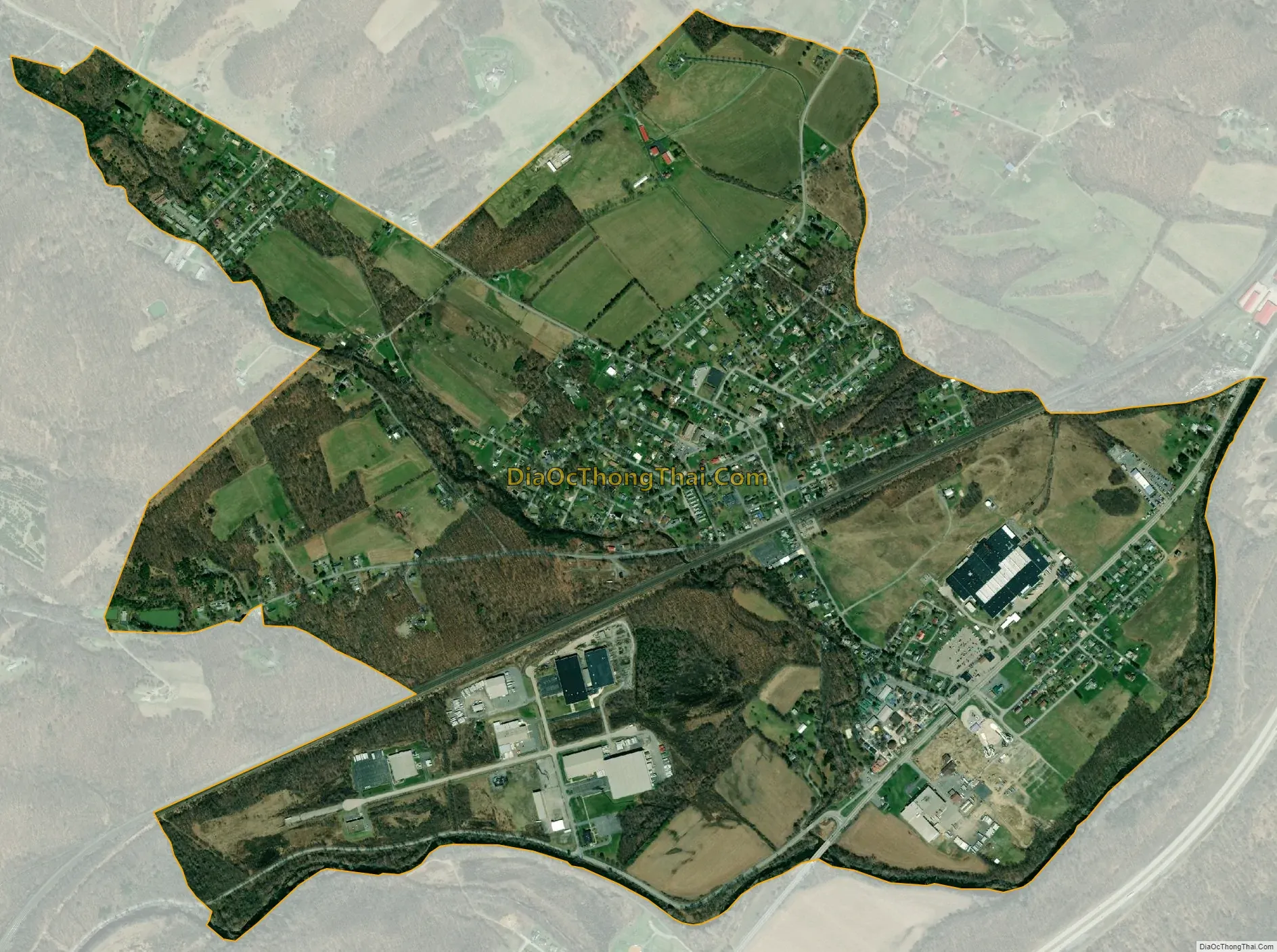
Tipton city Satellite Map
Geography
Tipton is located at 40°38′8″N 78°17′53″W / 40.63556°N 78.29806°W / 40.63556; -78.29806 (40.635659, -78.298034).
According to the United States Census Bureau, the CDP has a total area of 1.9 square miles (4.9 km), all land.
There are four unique sections to the Tipton area. The Poe, The Pellegrine, The Noel, and The Tilly regions, all named after the first settlers in the area. The Poe region consists of the north-eastern area, the Pellegrine region consists of the southern houses and apartments, and the Noel region consists of a small portion of land to the north-western area in which notable landmarks, such as the Tipton Recreation Center, are located. The Tilly region overlaps with the other three regions, and consists of the most of the factory’s and manufacturing buildings.
See also
Map of Pennsylvania State and its subdivision:- Adams
- Allegheny
- Armstrong
- Beaver
- Bedford
- Berks
- Blair
- Bradford
- Bucks
- Butler
- Cambria
- Cameron
- Carbon
- Centre
- Chester
- Clarion
- Clearfield
- Clinton
- Columbia
- Crawford
- Cumberland
- Dauphin
- Delaware
- Elk
- Erie
- Fayette
- Forest
- Franklin
- Fulton
- Greene
- Huntingdon
- Indiana
- Jefferson
- Juniata
- Lackawanna
- Lancaster
- Lawrence
- Lebanon
- Lehigh
- Luzerne
- Lycoming
- Mc Kean
- Mercer
- Mifflin
- Monroe
- Montgomery
- Montour
- Northampton
- Northumberland
- Perry
- Philadelphia
- Pike
- Potter
- Schuylkill
- Snyder
- Somerset
- Sullivan
- Susquehanna
- Tioga
- Union
- Venango
- Warren
- Washington
- Wayne
- Westmoreland
- Wyoming
- York
- Alabama
- Alaska
- Arizona
- Arkansas
- California
- Colorado
- Connecticut
- Delaware
- District of Columbia
- Florida
- Georgia
- Hawaii
- Idaho
- Illinois
- Indiana
- Iowa
- Kansas
- Kentucky
- Louisiana
- Maine
- Maryland
- Massachusetts
- Michigan
- Minnesota
- Mississippi
- Missouri
- Montana
- Nebraska
- Nevada
- New Hampshire
- New Jersey
- New Mexico
- New York
- North Carolina
- North Dakota
- Ohio
- Oklahoma
- Oregon
- Pennsylvania
- Rhode Island
- South Carolina
- South Dakota
- Tennessee
- Texas
- Utah
- Vermont
- Virginia
- Washington
- West Virginia
- Wisconsin
- Wyoming