Toughkenamon is a census-designated place (CDP) in New Garden Township, Chester County, Pennsylvania, United States. The population was 1,492 at the 2010 census.
| Name: | Toughkenamon CDP |
|---|---|
| LSAD Code: | 57 |
| LSAD Description: | CDP (suffix) |
| State: | Pennsylvania |
| County: | Chester County |
| Elevation: | 338 ft (103 m) |
| Total Area: | 2.1 sq mi (5 km²) |
| Land Area: | 2.1 sq mi (5 km²) |
| Water Area: | 0.0 sq mi (0 km²) |
| Total Population: | 1,492 |
| Population Density: | 710/sq mi (270/km²) |
| ZIP code: | 19374 |
| Area code: | 610 and 484 |
| FIPS code: | 4277144 |
Online Interactive Map
Click on ![]() to view map in "full screen" mode.
to view map in "full screen" mode.
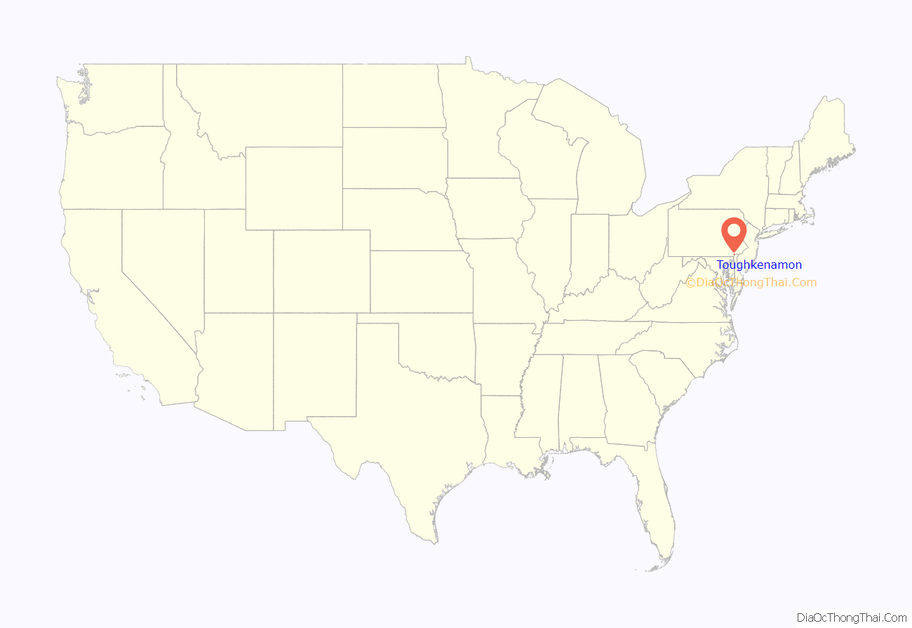
Toughkenamon location map. Where is Toughkenamon CDP?
History
The area known as Toughkenamon was originally inhabited by Lenape Native Americans who spoke Unami. In the original survey, in 1700, the surveyor notes that he crossed the Dochcanamon Hill. Other forms of spelling this name were used, such as Tokenamon, Taukenamon, Taughlikenemon.
Thomas and Mary Rowland settled in the valley, near the present village of Toughkenamon, in 1706, being perhaps the first settlers who purchased lands in New Garden Township. They came to the township from old Ashton Township, old Chester County, now in Delaware County.
Toughkenamon has been of significant importance in the development of the United States. First, the characteristics of the interactions between settlers and Lenapes was a microcosm of the conflicts that would occur in the future. For example, the farmers dug trenches around their crops, and filled them with water, to prevent reoccurrence of the conflagration that occurred when local Lenapes started a burn. The fact that the original Toughkenamon settlers maintained water-filled trenches is evidence that they had dialogue and an understanding of the importance of the burn. The traditional burn was an ancient way to increase yields of local grains and tubers, and increase the deer population. But later settlers no longer interacted with the departed tribe, so falsely assumed the burns had been solely aimed at destroying their ancestors’ crops, adding to mistrust of remaining Native-American families in nearby counties.
Toughkenamon Hill has been quarried for centuries.
In later centuries Toughkenamon was considered a village. It was an early industrial center due to its strategic location on the old Baltimore Pike between Philadelphia and Washington, D.C., easy access to raw materials such as wood, water and ore. Even today, businesses critical to national wholesale distribution of perishable foods are located in and near Toughkenamon.
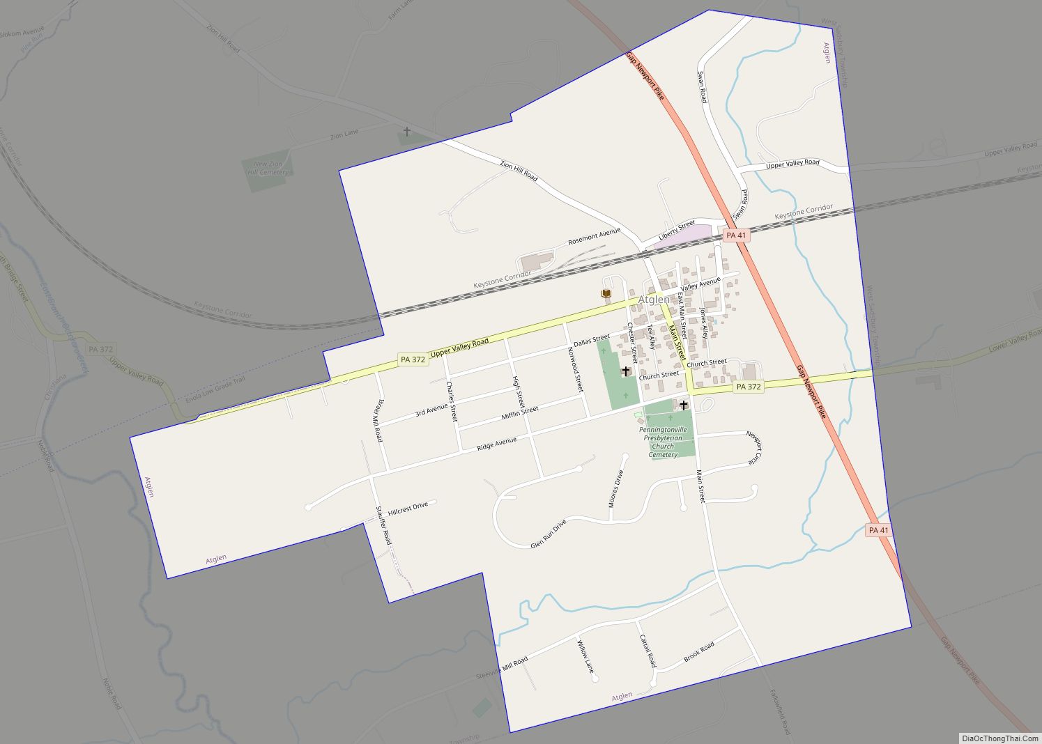
Toughkenamon Road Map
Toughkenamon city Satellite Map
Geography
Toughkenamon is located at 39°49′48″N 75°45′32″W / 39.83000°N 75.75889°W / 39.83000; -75.75889 (39.829874, -75.758847).
According to the United States Census Bureau, the CDP has a total area of 2.1 square miles (5.4 km), of which 0.48% is water.
See also
Map of Pennsylvania State and its subdivision:- Adams
- Allegheny
- Armstrong
- Beaver
- Bedford
- Berks
- Blair
- Bradford
- Bucks
- Butler
- Cambria
- Cameron
- Carbon
- Centre
- Chester
- Clarion
- Clearfield
- Clinton
- Columbia
- Crawford
- Cumberland
- Dauphin
- Delaware
- Elk
- Erie
- Fayette
- Forest
- Franklin
- Fulton
- Greene
- Huntingdon
- Indiana
- Jefferson
- Juniata
- Lackawanna
- Lancaster
- Lawrence
- Lebanon
- Lehigh
- Luzerne
- Lycoming
- Mc Kean
- Mercer
- Mifflin
- Monroe
- Montgomery
- Montour
- Northampton
- Northumberland
- Perry
- Philadelphia
- Pike
- Potter
- Schuylkill
- Snyder
- Somerset
- Sullivan
- Susquehanna
- Tioga
- Union
- Venango
- Warren
- Washington
- Wayne
- Westmoreland
- Wyoming
- York
- Alabama
- Alaska
- Arizona
- Arkansas
- California
- Colorado
- Connecticut
- Delaware
- District of Columbia
- Florida
- Georgia
- Hawaii
- Idaho
- Illinois
- Indiana
- Iowa
- Kansas
- Kentucky
- Louisiana
- Maine
- Maryland
- Massachusetts
- Michigan
- Minnesota
- Mississippi
- Missouri
- Montana
- Nebraska
- Nevada
- New Hampshire
- New Jersey
- New Mexico
- New York
- North Carolina
- North Dakota
- Ohio
- Oklahoma
- Oregon
- Pennsylvania
- Rhode Island
- South Carolina
- South Dakota
- Tennessee
- Texas
- Utah
- Vermont
- Virginia
- Washington
- West Virginia
- Wisconsin
- Wyoming


