Tullytown is a borough in Bucks County, Pennsylvania, United States. Originally a village in Falls Township, Tullytown was partitioned as a borough in 1891. The population was 1,872 at the 2010 census. Part of Levittown is located in Tullytown. Dr. Joseph Biancasino Downey, Princeton High School (New Jersey) band director, was mayor of Tullytown.
| Name: | Tullytown borough |
|---|---|
| LSAD Code: | 21 |
| LSAD Description: | borough (suffix) |
| State: | Pennsylvania |
| County: | Bucks County |
| Elevation: | 20 ft (6 m) |
| Total Area: | 2.11 sq mi (5.46 km²) |
| Land Area: | 1.52 sq mi (3.93 km²) |
| Water Area: | 0.59 sq mi (1.53 km²) |
| Total Population: | 1,872 |
| Population Density: | 1,436.76/sq mi (554.62/km²) |
| ZIP code: | 19007 |
| Area code: | 215, 267 and 445 |
| FIPS code: | 4277744 |
| Website: | tullytownborough.com |
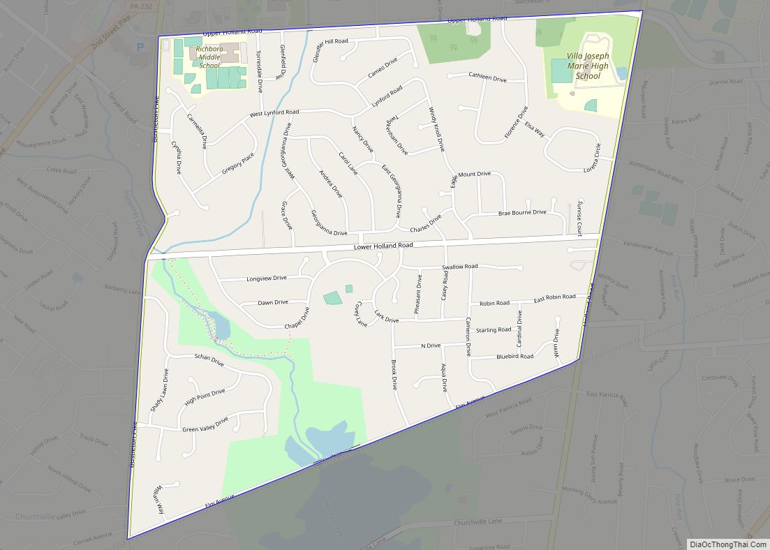
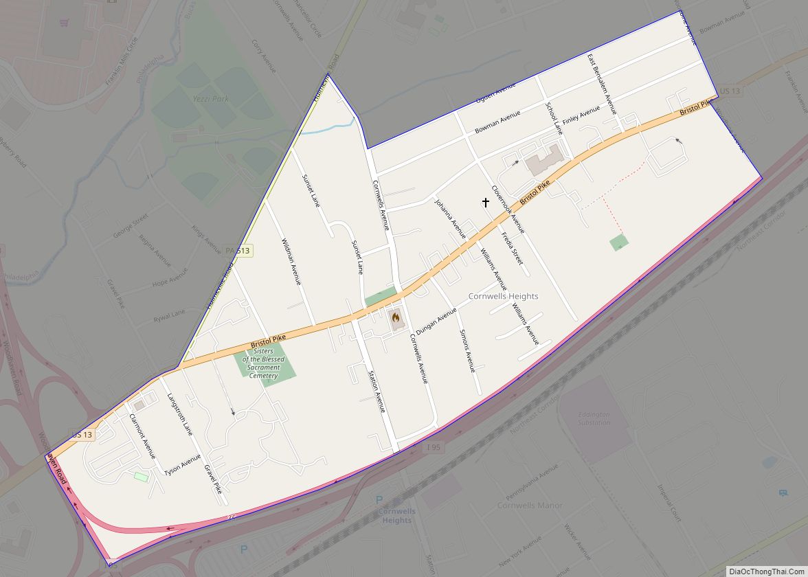
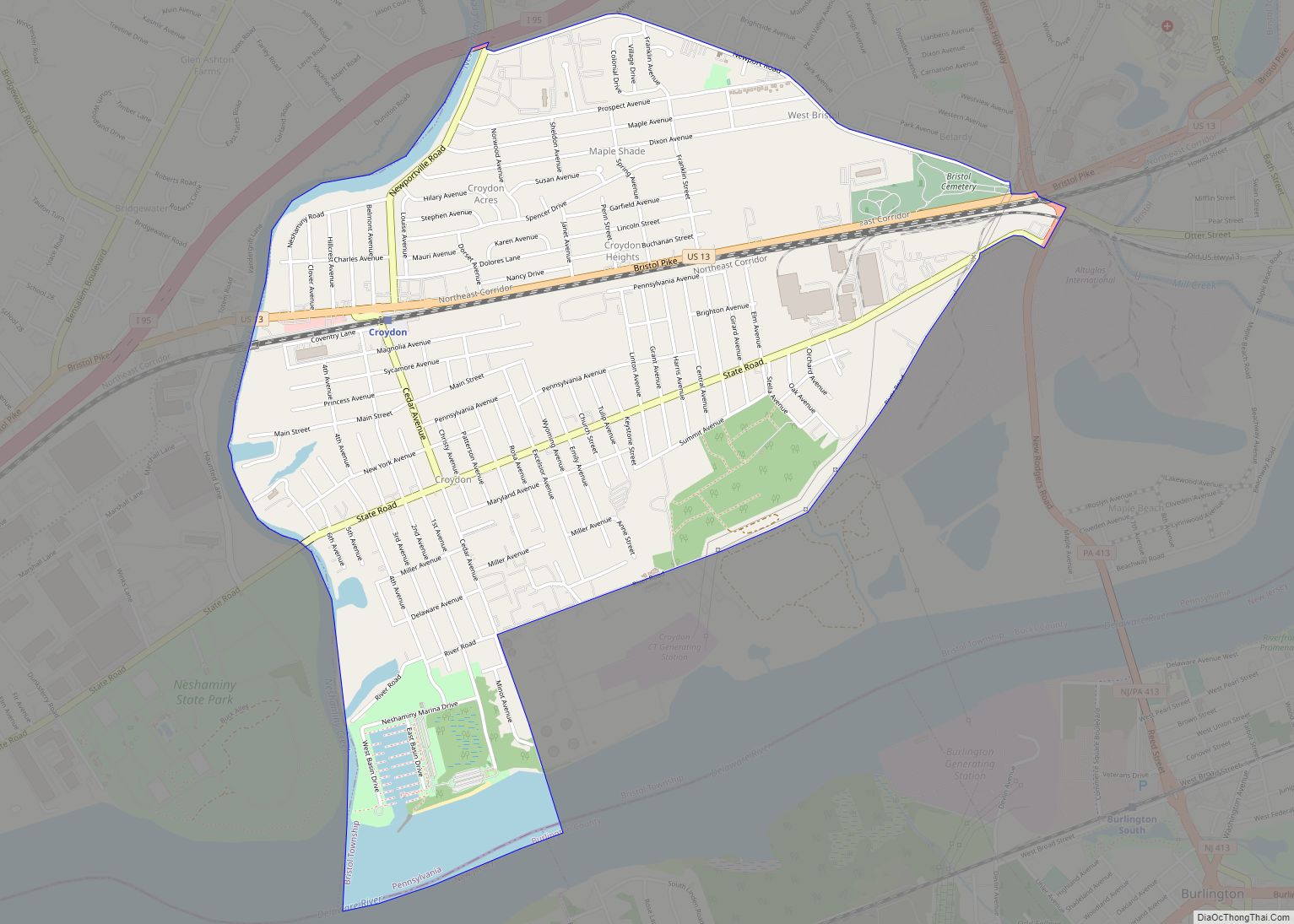
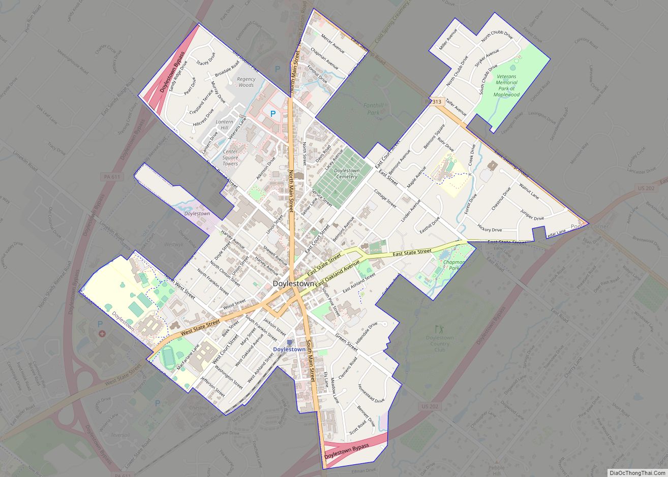
Online Interactive Map
Click on ![]() to view map in "full screen" mode.
to view map in "full screen" mode.
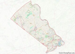
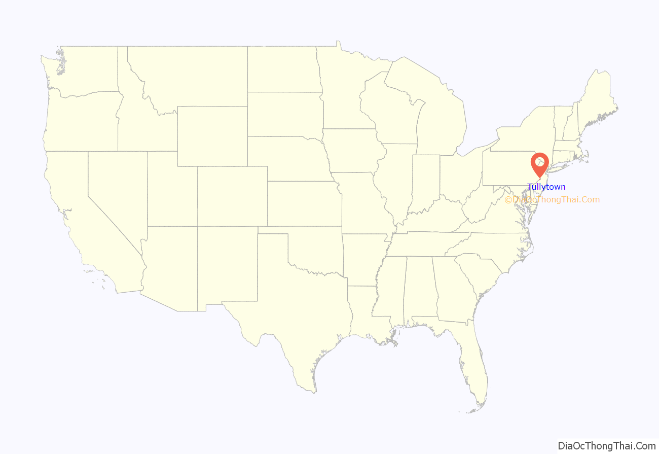
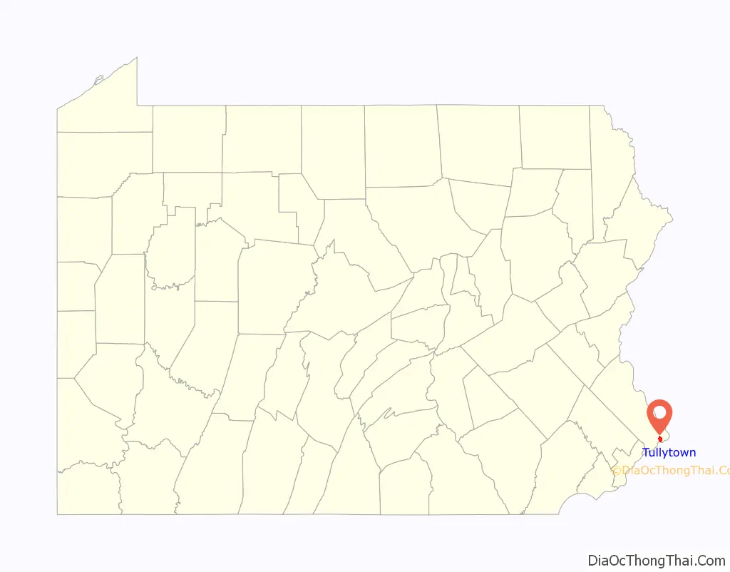
Tullytown location map. Where is Tullytown borough?
History
The Walt Disney Elementary School was listed on the National Register of Historic Places in 2007.
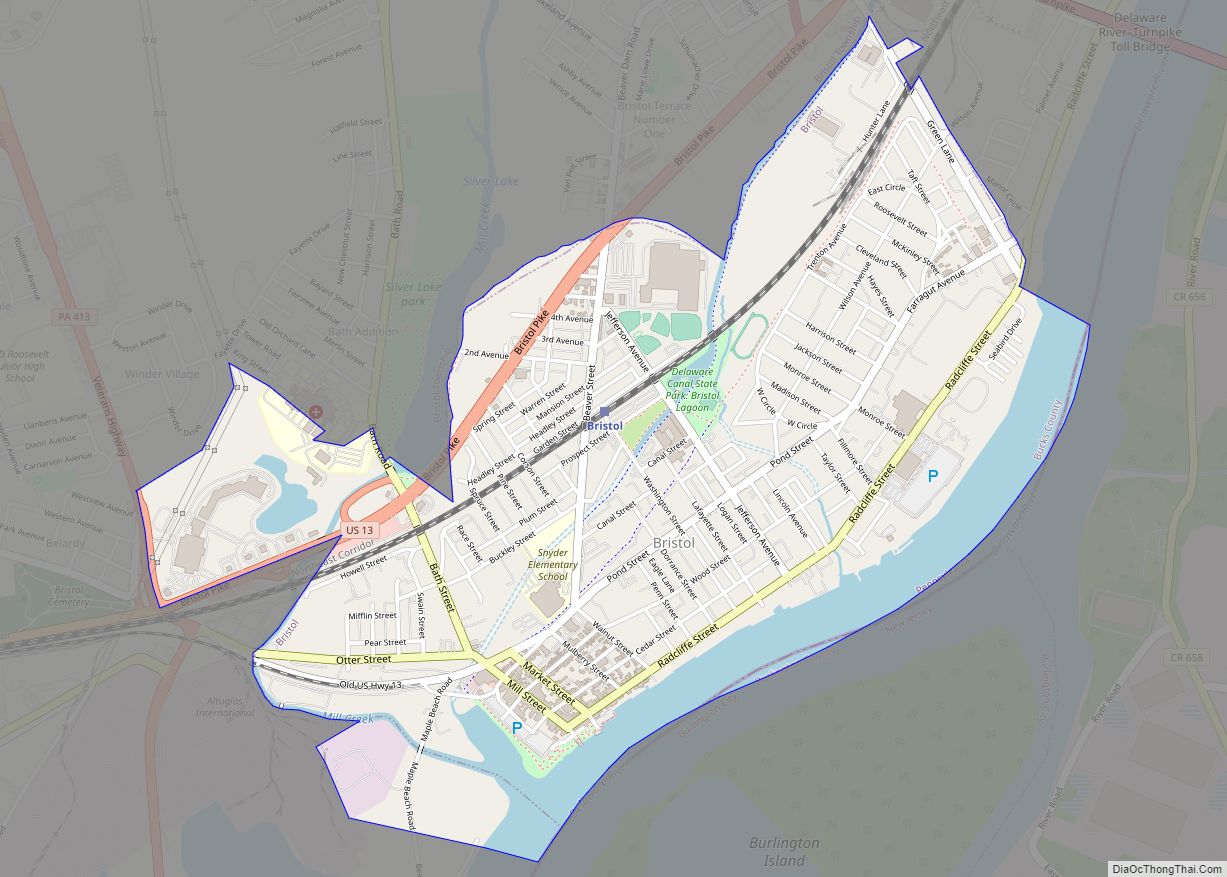
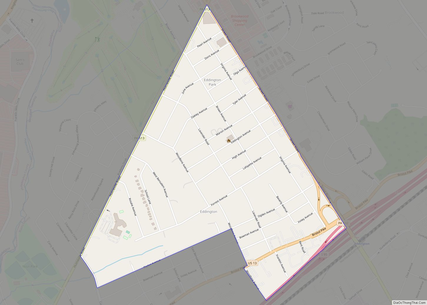
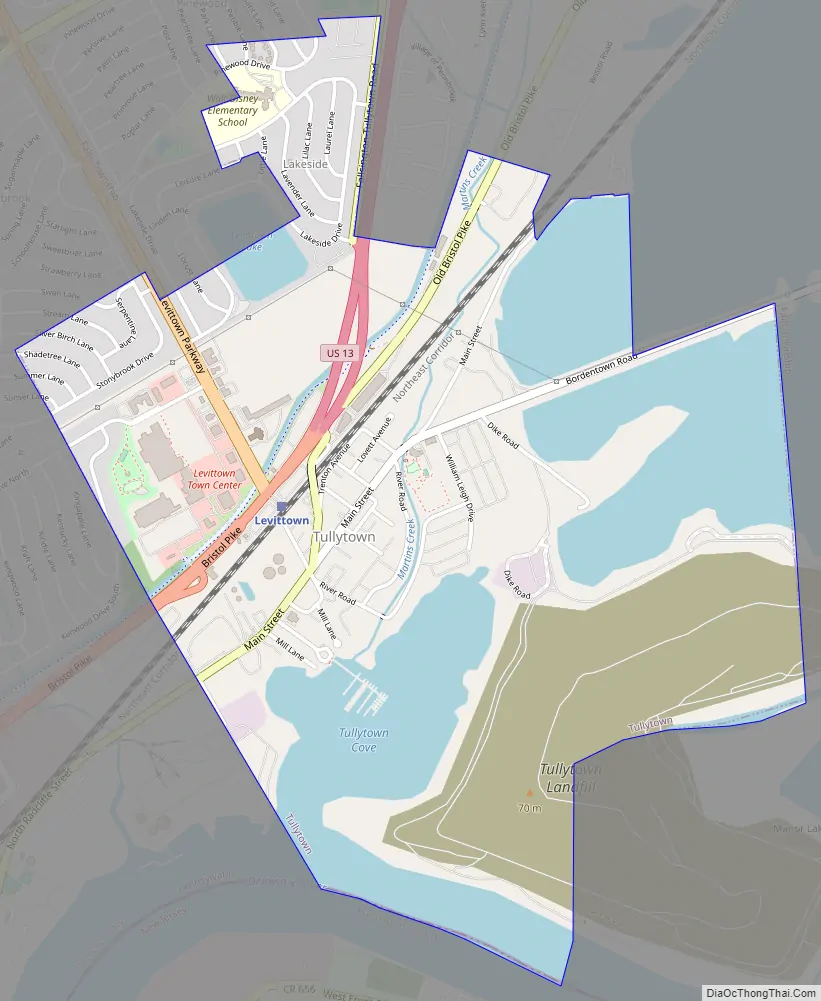
Tullytown Road Map
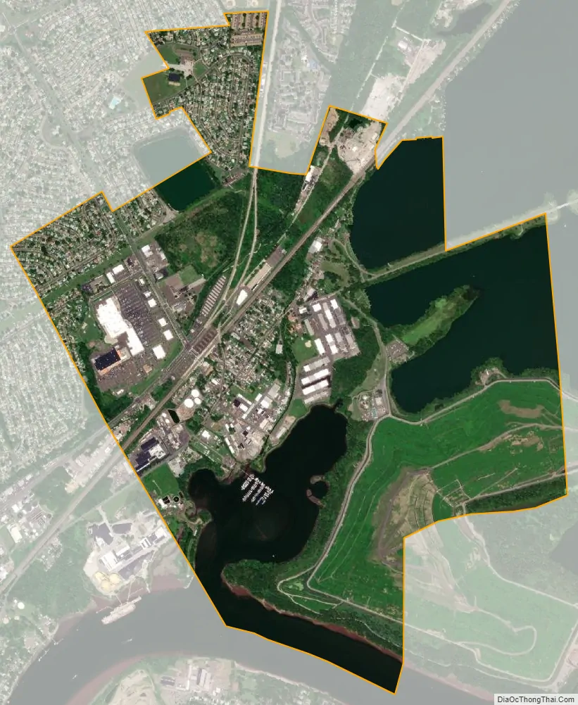
Tullytown city Satellite Map
Geography
Tullytown is located at 40°8′42″N 74°49′4″W / 40.14500°N 74.81778°W / 40.14500; -74.81778 (40.145077, −74.817841).
Wickus Sippus Creek passes through Tullytown.
According to the United States Census Bureau, the borough has a total area of 2.1 square miles (5.4 km), of which 1.6 square miles (4.1 km) is land and 0.5 square miles (1.3 km) (24.88%) is water.
See also
Map of Pennsylvania State and its subdivision:- Adams
- Allegheny
- Armstrong
- Beaver
- Bedford
- Berks
- Blair
- Bradford
- Bucks
- Butler
- Cambria
- Cameron
- Carbon
- Centre
- Chester
- Clarion
- Clearfield
- Clinton
- Columbia
- Crawford
- Cumberland
- Dauphin
- Delaware
- Elk
- Erie
- Fayette
- Forest
- Franklin
- Fulton
- Greene
- Huntingdon
- Indiana
- Jefferson
- Juniata
- Lackawanna
- Lancaster
- Lawrence
- Lebanon
- Lehigh
- Luzerne
- Lycoming
- Mc Kean
- Mercer
- Mifflin
- Monroe
- Montgomery
- Montour
- Northampton
- Northumberland
- Perry
- Philadelphia
- Pike
- Potter
- Schuylkill
- Snyder
- Somerset
- Sullivan
- Susquehanna
- Tioga
- Union
- Venango
- Warren
- Washington
- Wayne
- Westmoreland
- Wyoming
- York
- Alabama
- Alaska
- Arizona
- Arkansas
- California
- Colorado
- Connecticut
- Delaware
- District of Columbia
- Florida
- Georgia
- Hawaii
- Idaho
- Illinois
- Indiana
- Iowa
- Kansas
- Kentucky
- Louisiana
- Maine
- Maryland
- Massachusetts
- Michigan
- Minnesota
- Mississippi
- Missouri
- Montana
- Nebraska
- Nevada
- New Hampshire
- New Jersey
- New Mexico
- New York
- North Carolina
- North Dakota
- Ohio
- Oklahoma
- Oregon
- Pennsylvania
- Rhode Island
- South Carolina
- South Dakota
- Tennessee
- Texas
- Utah
- Vermont
- Virginia
- Washington
- West Virginia
- Wisconsin
- Wyoming