Tyrone is a borough in Blair County, Pennsylvania, United States, located 15 miles (24 km) northeast of Altoona, on the Little Juniata River. Tyrone was of considerable commercial importance in the twentieth century. It was an outlet for the Clearfield coal fields and was noted for manufacturing paper products. There were planing mills and chemical and candy factories. In 1900, 5,847 people lived here; in 1910, 7,176; and in 1940, 8,845 people resided here. The population was 5,477 at the 2010 census. It is part of the Altoona, PA Metropolitan Statistical Area. It was named after County Tyrone in Ireland.
Located along the main lines of the Norfolk Southern and Nittany and Bald Eagle railroads, and U.S. Route 220, Pennsylvania Route 453, and Interstate 99 highways, Tyrone was at one time known as “The Hub of the Highways”. In those days, four railroads [Pennsylvania, Tyrone and Clearfield, Tyrone and Lock Haven, Lewisburg, and Tyrone] and three main highways [US-220, PA-350, PA-453] converged there.
| Name: | Tyrone borough |
|---|---|
| LSAD Code: | 21 |
| LSAD Description: | borough (suffix) |
| State: | Pennsylvania |
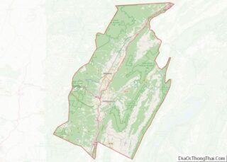
| County: | Blair County |
| Incorporated: | 1857 |
| Elevation: | 1,001 ft (305 m) |
| Total Area: | 2.04 sq mi (5.27 km²) |
| Land Area: | 2.04 sq mi (5.27 km²) |
| Water Area: | 0.00 sq mi (0.00 km²) |
| Total Population: | 5,480 |
| Population Density: | 2,692.87/sq mi (1,039.65/km²) |
| Area code: | 814 |
| FIPS code: | 4278168 |
| GNISfeature ID: | 1214946 |
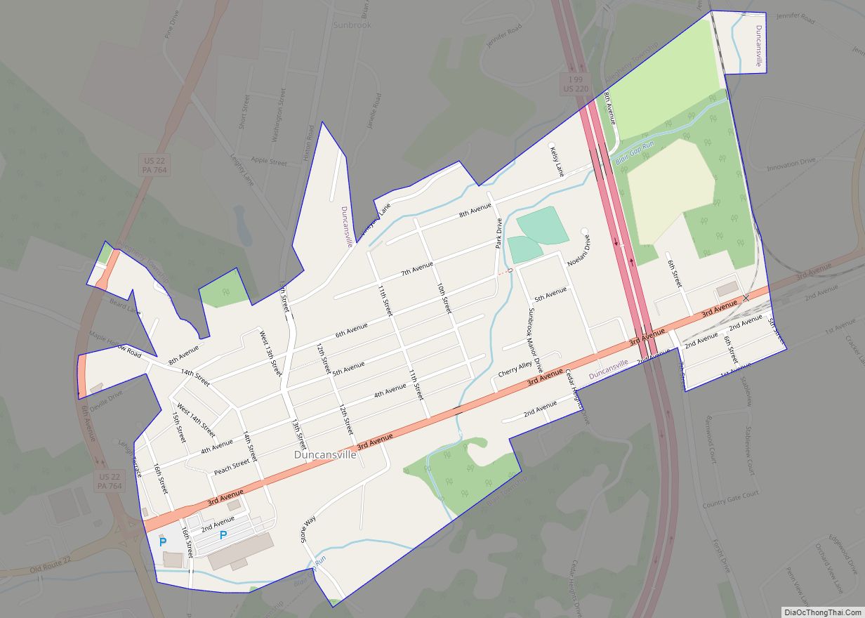
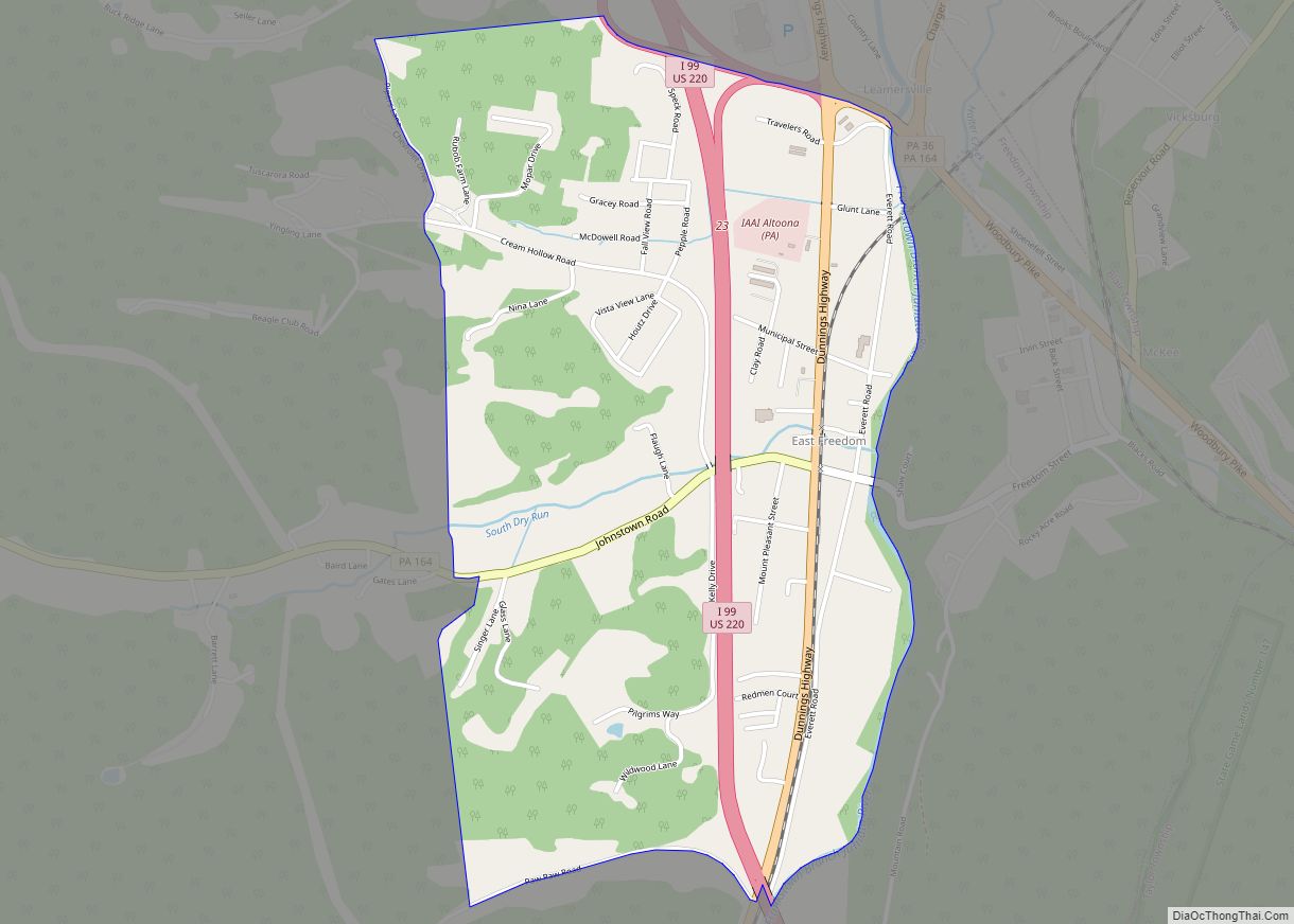
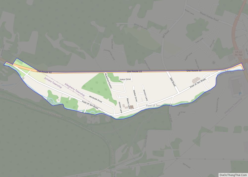
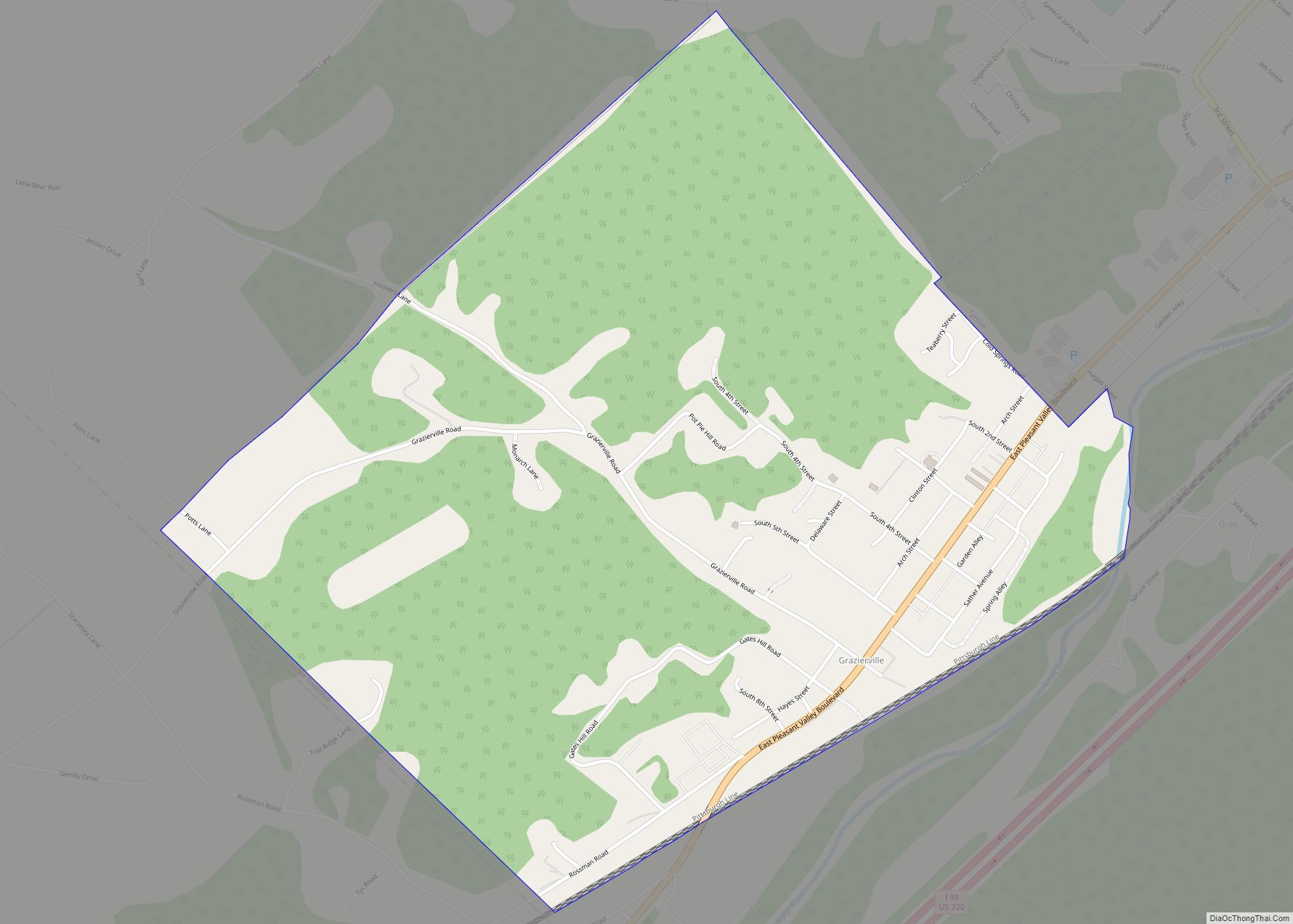
Online Interactive Map
Click on ![]() to view map in "full screen" mode.
to view map in "full screen" mode.
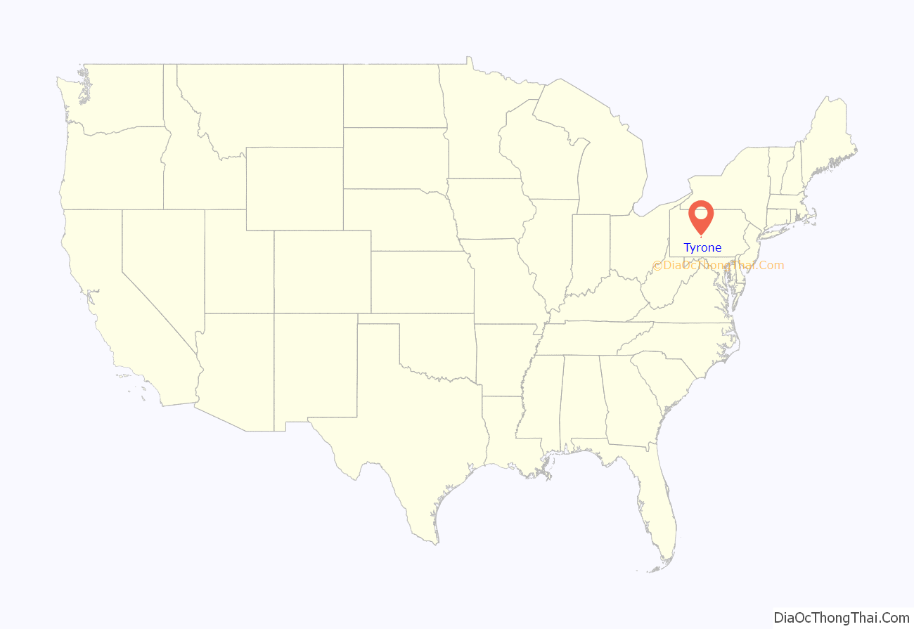
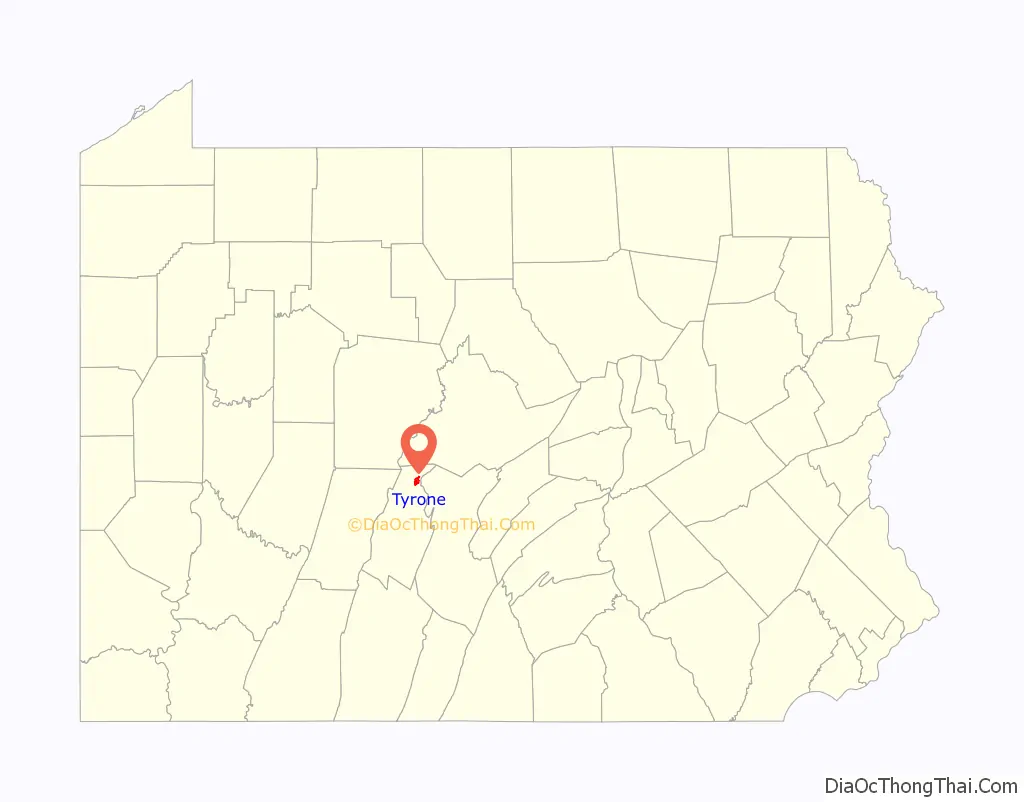
Tyrone location map. Where is Tyrone borough?
History
The Tyrone Borough Historic District was added to the National Register of Historic Places in 1993.
Tornado
On June 2, 1998, an F1 tornado moved southeast along Pennsylvania Route 453 northwest of Tyrone. Significant tree damage was noted in several locations along a four-mile path, beginning approximately five miles northwest of Tyrone. No significant damage was reported in Tyrone, although eyewitnesses reported seeing clouds rotating as they crossed the city. This tornado was part of the 1998 Eastern Tornado Outbreak.
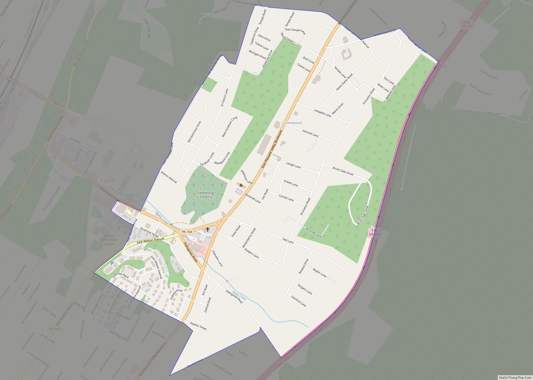
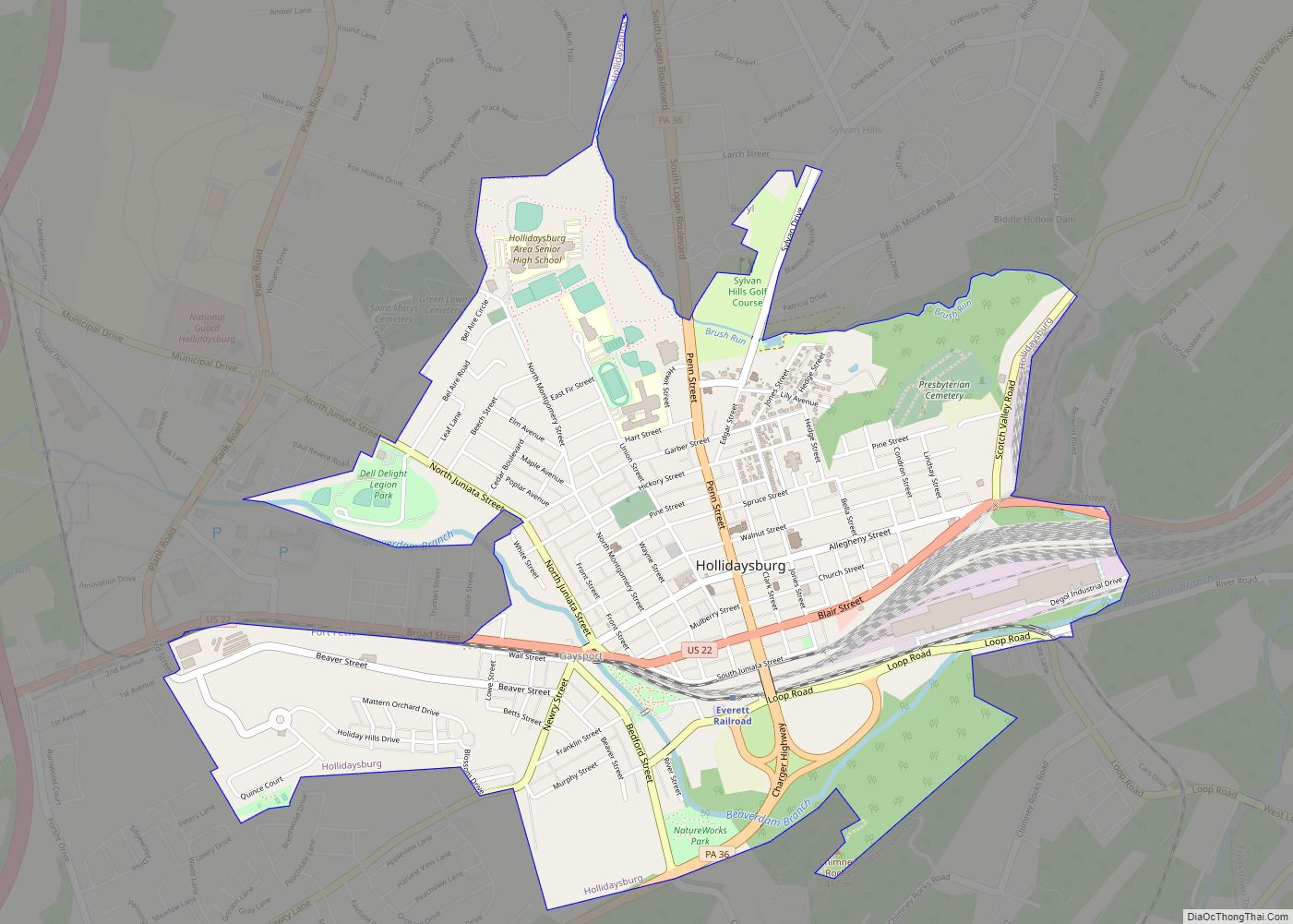
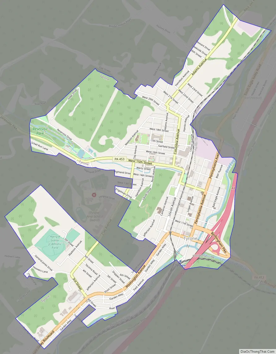
Tyrone Road Map
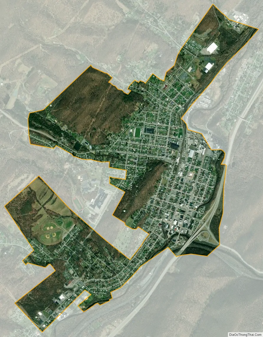
Tyrone city Satellite Map
Geography
Tyrone is located at 40°40′29″N 78°14′29″W / 40.67472°N 78.24139°W / 40.67472; -78.24139.
According to the United States Census Bureau, the borough has a total area of 2.0 square miles (5.2 km), all land.
Tyrone is situated in the Bald Eagle Valley at the base of Bald Eagle Mountain along Bald Eagle Creek at the Little Juniata River water gap.
See also
Map of Pennsylvania State and its subdivision:- Adams
- Allegheny
- Armstrong
- Beaver
- Bedford
- Berks
- Blair
- Bradford
- Bucks
- Butler
- Cambria
- Cameron
- Carbon
- Centre
- Chester
- Clarion
- Clearfield
- Clinton
- Columbia
- Crawford
- Cumberland
- Dauphin
- Delaware
- Elk
- Erie
- Fayette
- Forest
- Franklin
- Fulton
- Greene
- Huntingdon
- Indiana
- Jefferson
- Juniata
- Lackawanna
- Lancaster
- Lawrence
- Lebanon
- Lehigh
- Luzerne
- Lycoming
- Mc Kean
- Mercer
- Mifflin
- Monroe
- Montgomery
- Montour
- Northampton
- Northumberland
- Perry
- Philadelphia
- Pike
- Potter
- Schuylkill
- Snyder
- Somerset
- Sullivan
- Susquehanna
- Tioga
- Union
- Venango
- Warren
- Washington
- Wayne
- Westmoreland
- Wyoming
- York
- Alabama
- Alaska
- Arizona
- Arkansas
- California
- Colorado
- Connecticut
- Delaware
- District of Columbia
- Florida
- Georgia
- Hawaii
- Idaho
- Illinois
- Indiana
- Iowa
- Kansas
- Kentucky
- Louisiana
- Maine
- Maryland
- Massachusetts
- Michigan
- Minnesota
- Mississippi
- Missouri
- Montana
- Nebraska
- Nevada
- New Hampshire
- New Jersey
- New Mexico
- New York
- North Carolina
- North Dakota
- Ohio
- Oklahoma
- Oregon
- Pennsylvania
- Rhode Island
- South Carolina
- South Dakota
- Tennessee
- Texas
- Utah
- Vermont
- Virginia
- Washington
- West Virginia
- Wisconsin
- Wyoming