Warrior Run is a borough in Luzerne County, Pennsylvania, United States. The population was 528 at the time of the 2020 census.
| Name: | Warrior Run borough |
|---|---|
| LSAD Code: | 21 |
| LSAD Description: | borough (suffix) |
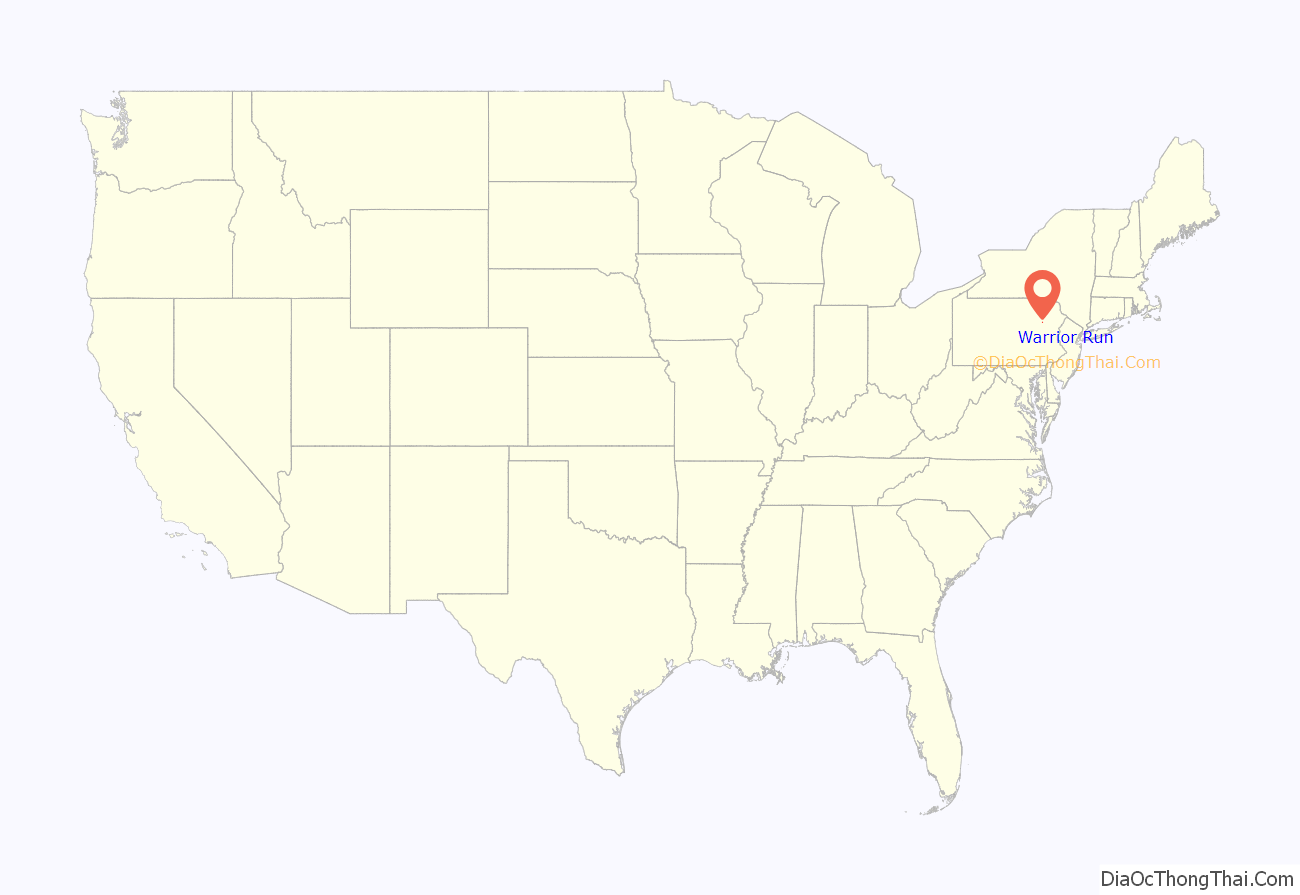
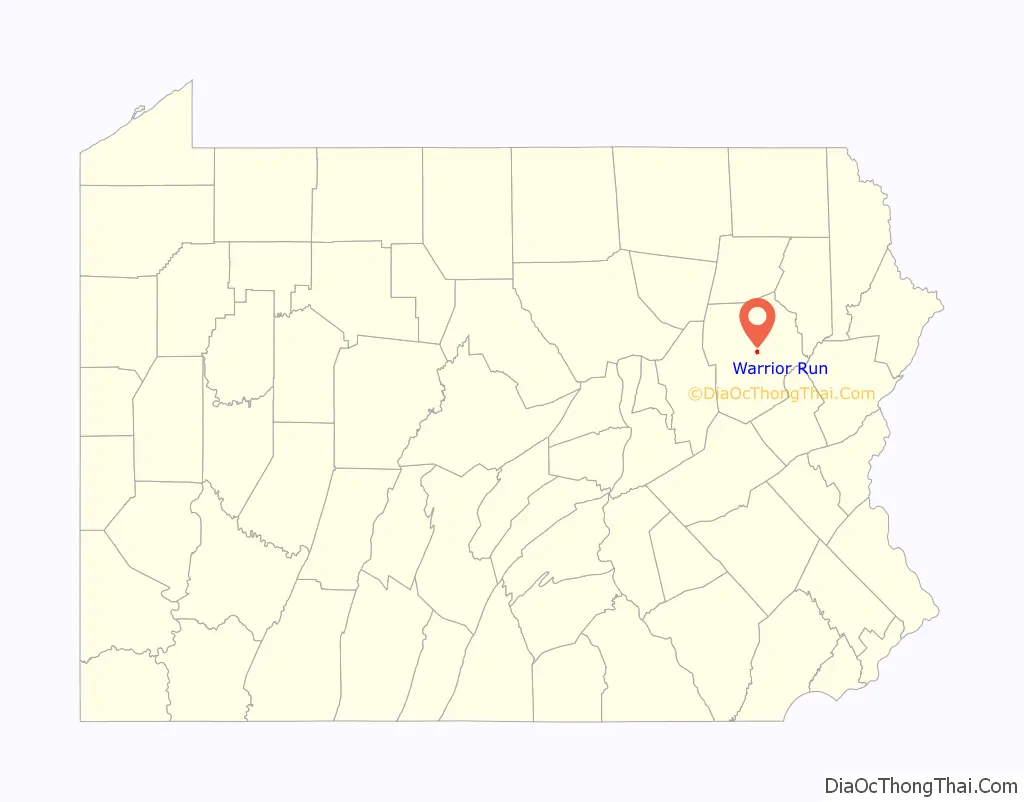
| State: | Pennsylvania |
| County: | Luzerne County |
| Incorporated: | 1895 |
| Elevation: | 665 ft (203 m) |
| Total Area: | 0.66 sq mi (1.71 km²) |
| Land Area: | 0.66 sq mi (1.71 km²) |
| Water Area: | 0.00 sq mi (0.00 km²) |
| Total Population: | 528 |
| Population Density: | 880.30/sq mi (339.70/km²) |
| Area code: | 570 |
| FIPS code: | 4281080 |
| Website: | www.wrboro.org |
Online Interactive Map
Click on ![]() to view map in "full screen" mode.
to view map in "full screen" mode.
Warrior Run location map. Where is Warrior Run borough?
History
Early history
The first settlers of Warrior Run were Connecticut natives Elisha and Anna Blackman and their young children, Henry and Ebenezer. In 1791, they cleared trees and built a log cabin.
Coal mining
Coal mining was the chief industry in the region. In 1864, the Warrior Run Mining Company was organized; it reopened the old Holland and Hillman mine. The company built a breaker at the foot of the mountain; it opened in 1867.
At about the same time, both the Lehigh Valley Railroad and the Nanticoke Branch of the Central Railroad of New Jersey completed their lines through the area, thus making it possible to conveniently mine, transport, and market the area’s coal. The occupations of the majority of residents were directly associated to mining in some way.
Ultimately, in the 20th century, the coal industry in the region died out.
Borough
Warrior Run Mining Village arose on the land owned by the Warrior Run Mining Company. On January 25, 1895, the Borough of Warrior Run was incorporated. Charles Williams was elected the first burgess on February 19.
A lot on Hanover Street was selected for the borough’s first town hall.
The borough celebrated its 100th anniversary in 1995.
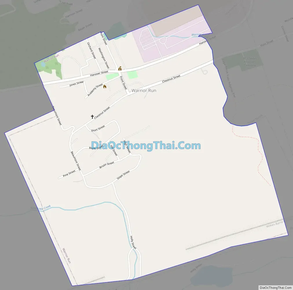
Warrior Run Road Map
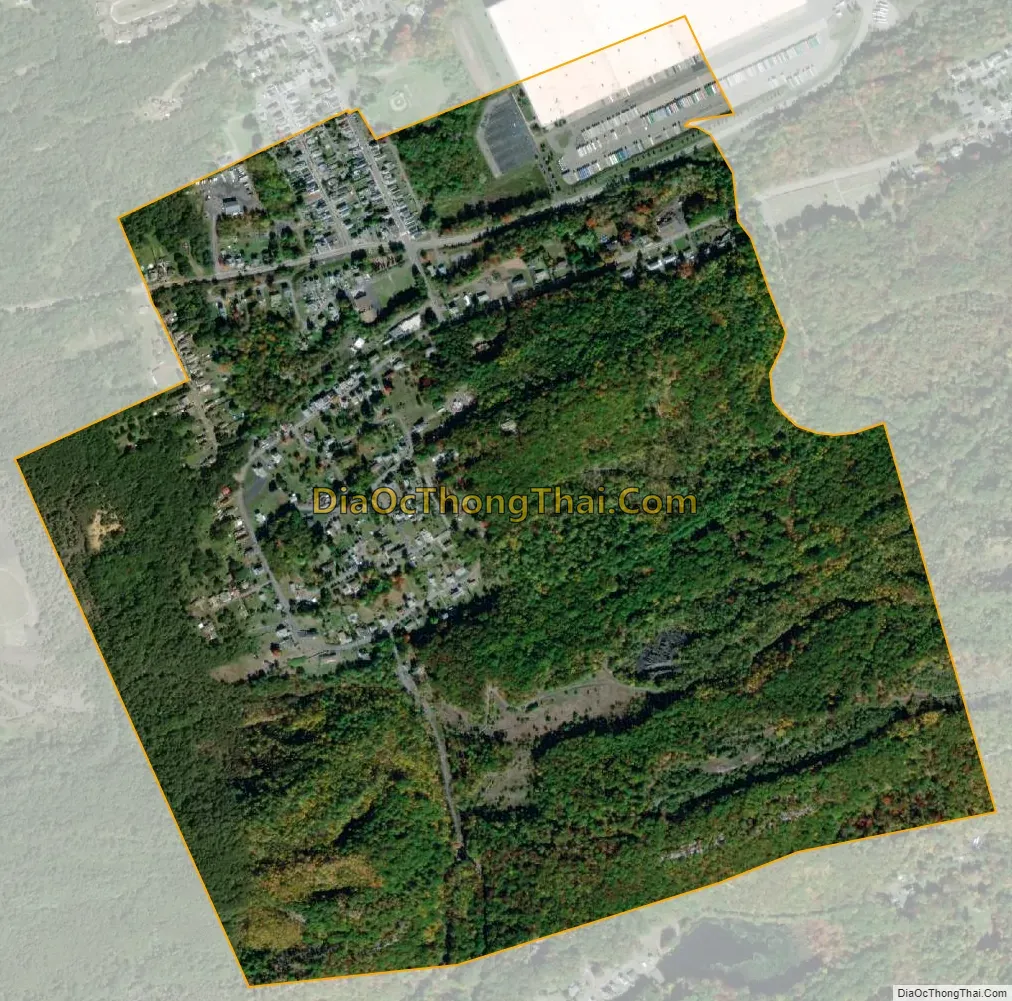
Warrior Run city Satellite Map
Geography
Warrior Run is located at 41°11′15″N 75°57′9″W / 41.18750°N 75.95250°W / 41.18750; -75.95250 (41.187463, -75.952584) — just southeast of Nanticoke.
According to the United States Census Bureau, the borough has a total area of 0.73 square miles (1.9 km), all of it land.
It is located on a historical battleground and on mostly fertile soil. The northern and western sections of the community consist mostly of homes and businesses; the southern and eastern areas of the borough are predominantly woodland.
See also
Map of Pennsylvania State and its subdivision:- Adams
- Allegheny
- Armstrong
- Beaver
- Bedford
- Berks
- Blair
- Bradford
- Bucks
- Butler
- Cambria
- Cameron
- Carbon
- Centre
- Chester
- Clarion
- Clearfield
- Clinton
- Columbia
- Crawford
- Cumberland
- Dauphin
- Delaware
- Elk
- Erie
- Fayette
- Forest
- Franklin
- Fulton
- Greene
- Huntingdon
- Indiana
- Jefferson
- Juniata
- Lackawanna
- Lancaster
- Lawrence
- Lebanon
- Lehigh
- Luzerne
- Lycoming
- Mc Kean
- Mercer
- Mifflin
- Monroe
- Montgomery
- Montour
- Northampton
- Northumberland
- Perry
- Philadelphia
- Pike
- Potter
- Schuylkill
- Snyder
- Somerset
- Sullivan
- Susquehanna
- Tioga
- Union
- Venango
- Warren
- Washington
- Wayne
- Westmoreland
- Wyoming
- York
- Alabama
- Alaska
- Arizona
- Arkansas
- California
- Colorado
- Connecticut
- Delaware
- District of Columbia
- Florida
- Georgia
- Hawaii
- Idaho
- Illinois
- Indiana
- Iowa
- Kansas
- Kentucky
- Louisiana
- Maine
- Maryland
- Massachusetts
- Michigan
- Minnesota
- Mississippi
- Missouri
- Montana
- Nebraska
- Nevada
- New Hampshire
- New Jersey
- New Mexico
- New York
- North Carolina
- North Dakota
- Ohio
- Oklahoma
- Oregon
- Pennsylvania
- Rhode Island
- South Carolina
- South Dakota
- Tennessee
- Texas
- Utah
- Vermont
- Virginia
- Washington
- West Virginia
- Wisconsin
- Wyoming


