White Mills is a village and census-designated place in Texas Township, Wayne County, Pennsylvania, United States. The CDP’s population was 659 at time of the 2010 United States Census.
White Mills is located along U.S. Route 6 in the eastern part of Wayne County.
| Name: | White Mills CDP |
|---|---|
| LSAD Code: | 57 |
| LSAD Description: | CDP (suffix) |
| State: | Pennsylvania |
| County: | Wayne County |
| Elevation: | 948 ft (289 m) |
| Total Area: | 1.517 sq mi (3.927 km²) |
| Land Area: | 1.483 sq mi (3.840 km²) |
| Water Area: | 0.034 sq mi (0.087 km²) |
| Total Population: | 659 |
| Population Density: | 444/sq mi (172/km²) |
| ZIP code: | 18473 |
| Area code: | 570 |
| FIPS code: | 4284696 |
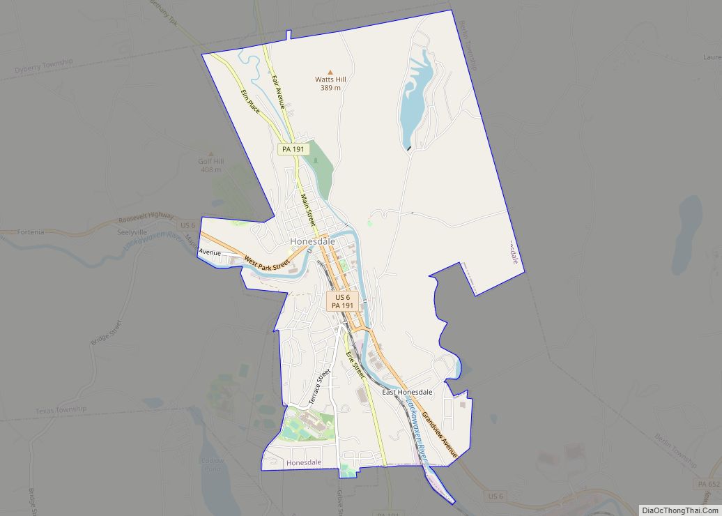
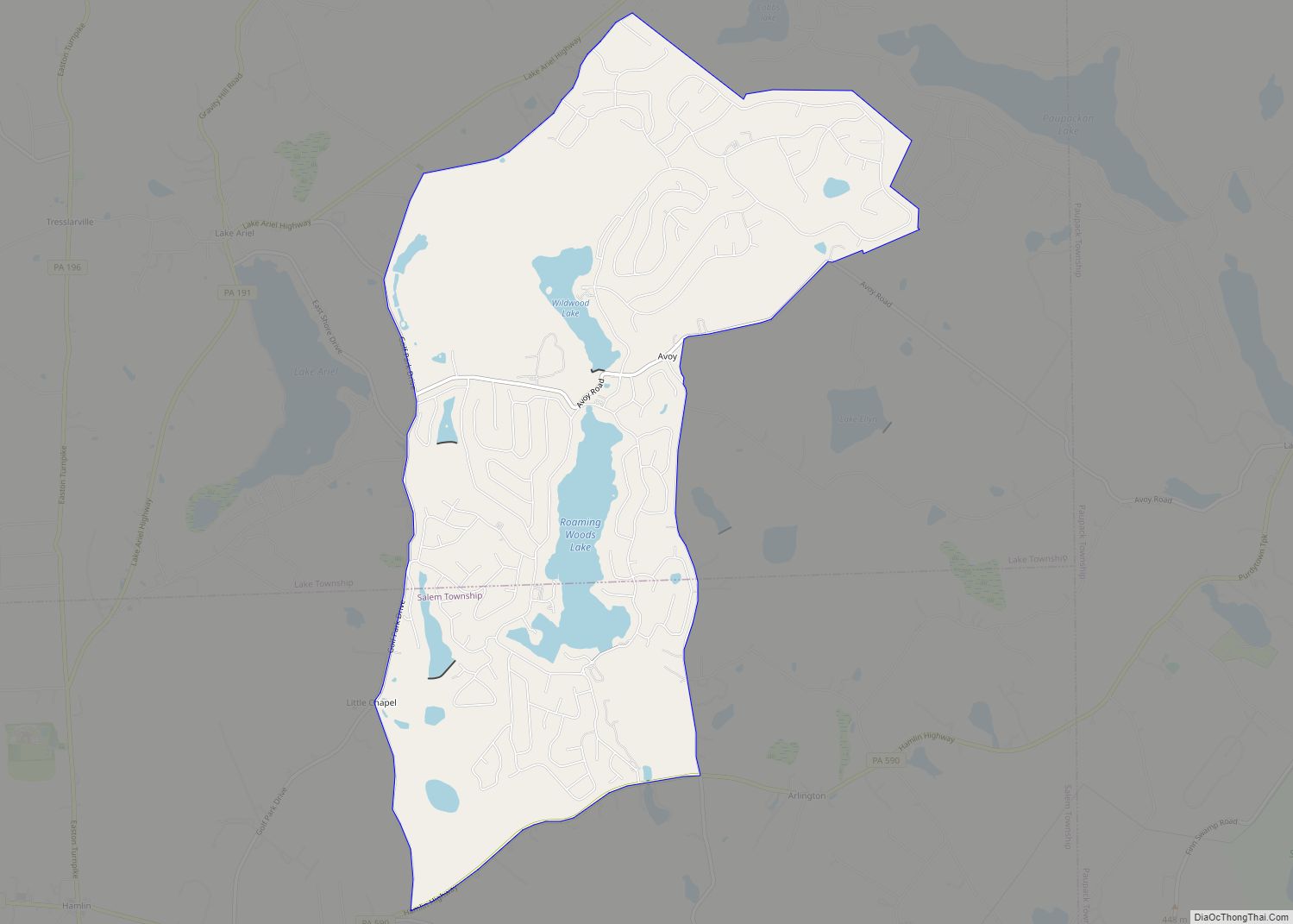
Online Interactive Map
Click on ![]() to view map in "full screen" mode.
to view map in "full screen" mode.
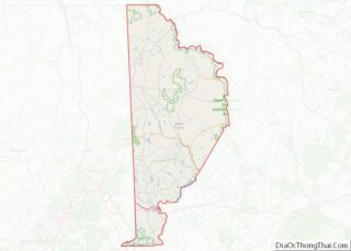
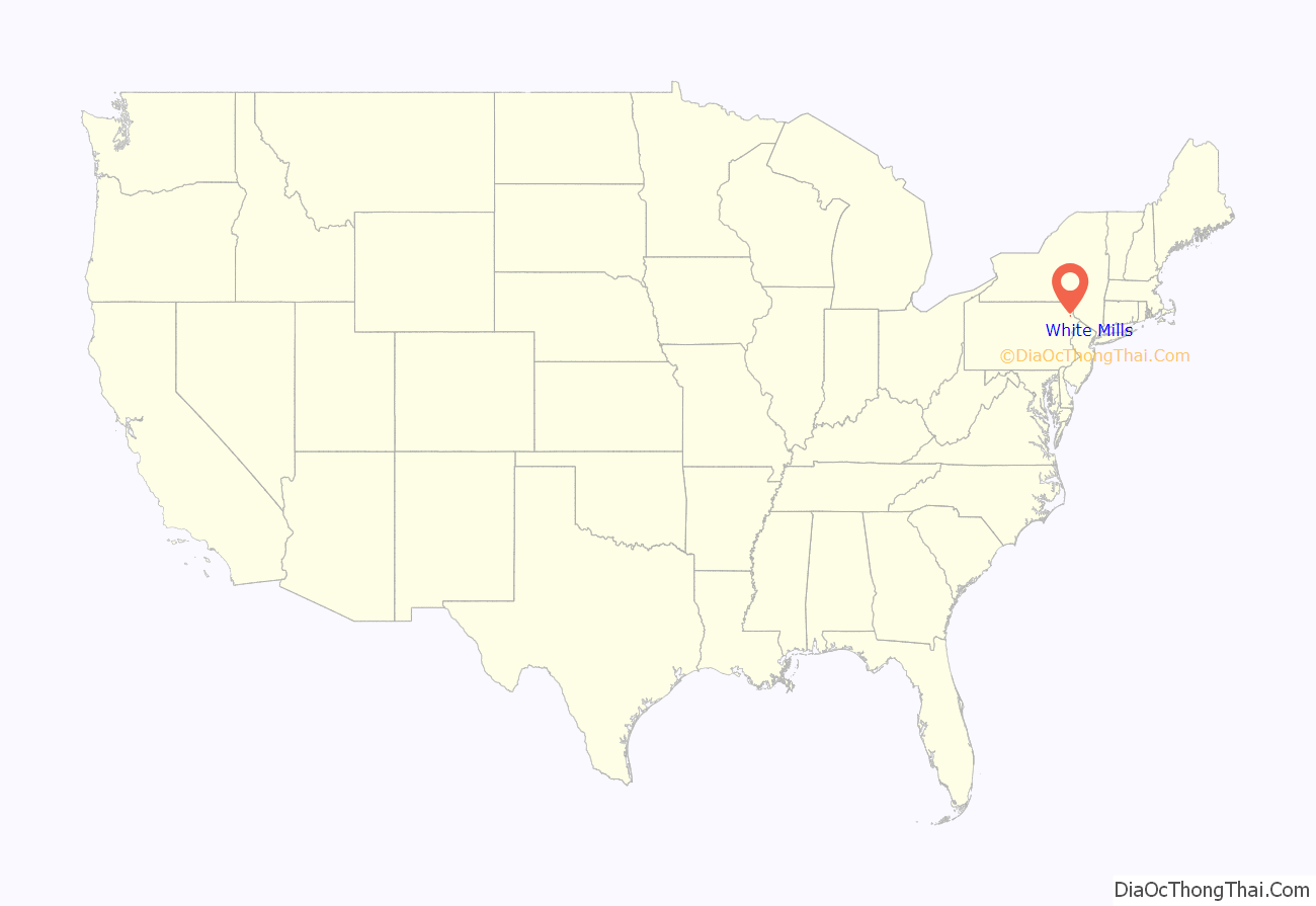
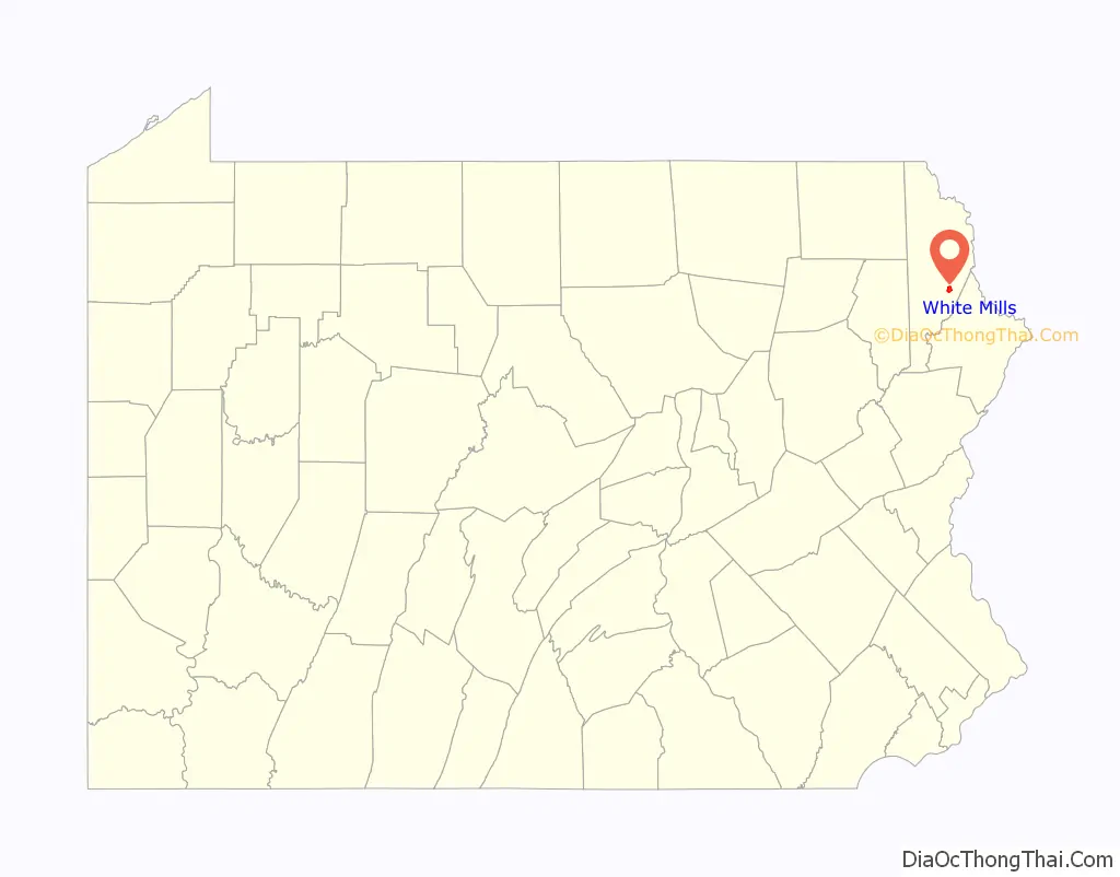
White Mills location map. Where is White Mills CDP?
History
In 1803, Jonathan Brink of Milford, Pennsylvania, purchased the Haines property and erected one of the early sawmills just below White Mills.
Around 1823, a sawmill was constructed on the Lackawaxen River near where the Chroma Tube factory stands today. At the time, the area between Honesdale and Hawley, Pennsylvania, was sparsely settled, though it is likely that several farms and dwellings dotted the surrounding vicinity. The new mill, built for a Daniel Parry (sometimes spelled Perry) & Company of Philadelphia, and its ancillary buildings were all painted white, which led to the village being called “White Mills.”
In 1865, Christian Dorflinger, a French-speaking Alsatian immigrant, opened a glass factory in White Mills. Dorflinger had arrived in the United States in 1846 and established a prosperous glass company based in Brooklyn in 1852, but decided to build a dedicated factory and company town for the Dorflinger Glass Company at White Mills, in order to escape the pollution and violence of New York at the time. At White Mills, Dorflinger and his sons built a sprawling factory complex and more than 100 houses for workers and their families. The town was in large part populated by craftsman who Dorflinger invited from Europe to work at the factory. Dorflinger Glass produced fine cut lead crystal that was used in the White House services of the Lincoln and Harrison administrations, and at prominent occasions such as the weddings of William Vanderbilt and Nellie Grant. Production at the factory continued until 1921, when pressures related to prohibition and lingering effects of an embargo on German potash forced the company to cease operations. Upon the factory’s closing, White Mills lost much of its population. In 2017, the remaining Dorflinger Glass Factory buildings were restored and turned into a museum.
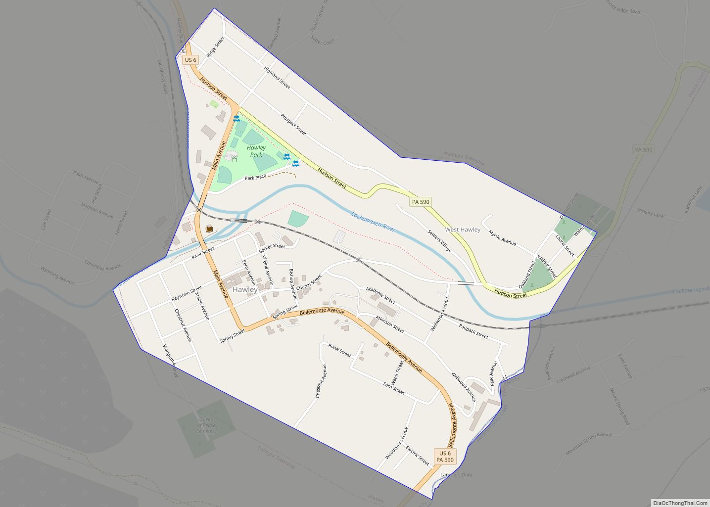
White Mills Road Map
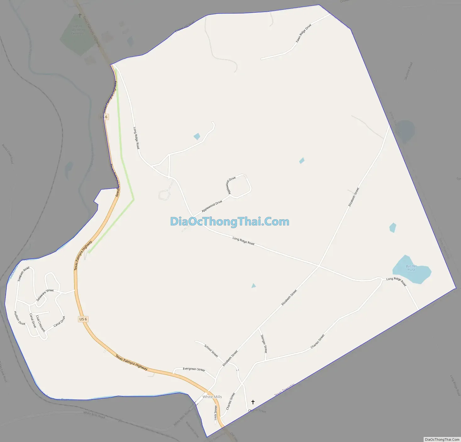
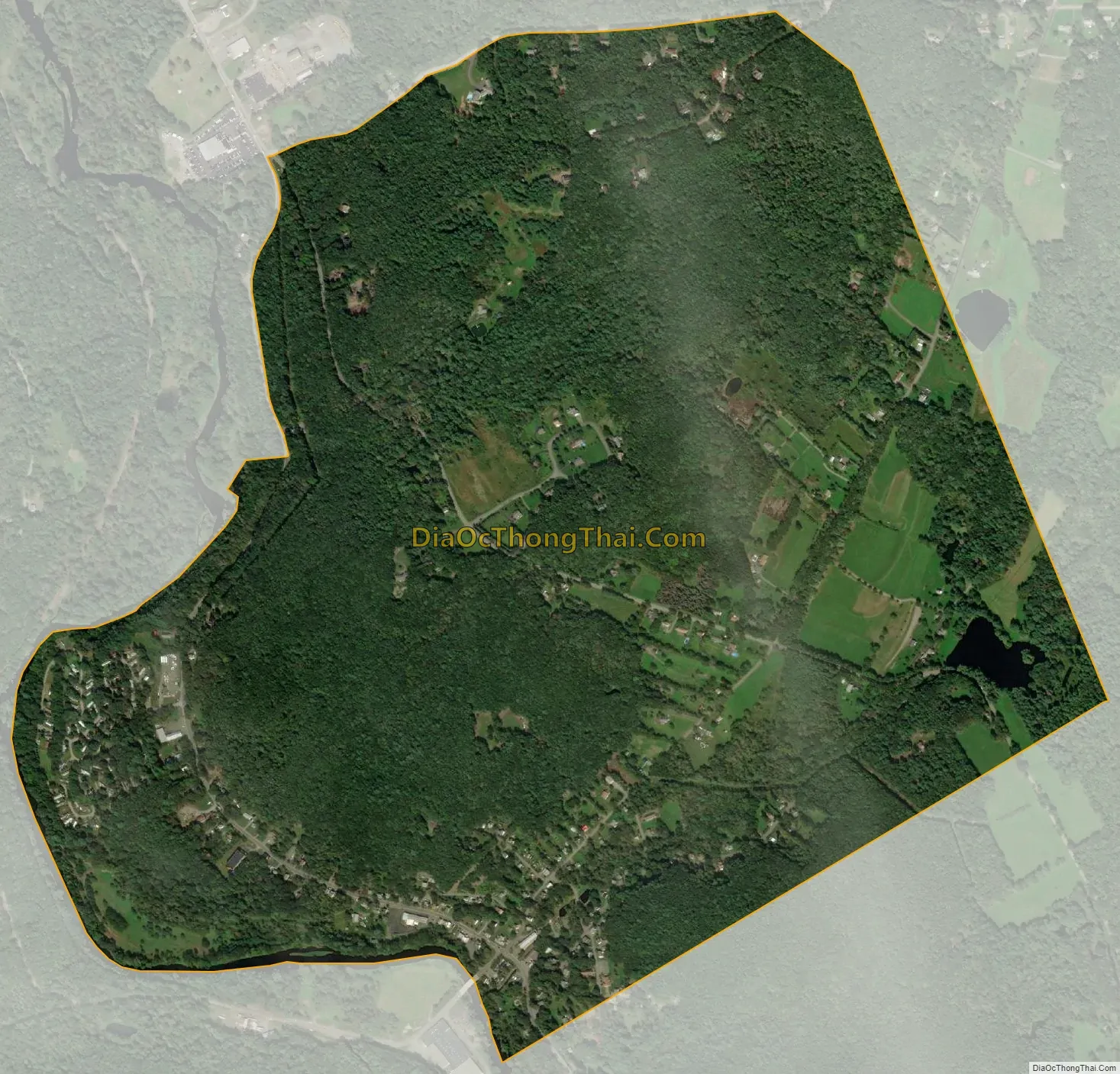
White Mills city Satellite Map
Geography
According to the United States Census Bureau, White Mills has a total area of 1.517 sq mi (3.927 km), of which 1.483 sq mi (3.840 km) is land and 0.034 sq mi (0.087 km), or 2.2%, is water.
See also
Map of Pennsylvania State and its subdivision:- Adams
- Allegheny
- Armstrong
- Beaver
- Bedford
- Berks
- Blair
- Bradford
- Bucks
- Butler
- Cambria
- Cameron
- Carbon
- Centre
- Chester
- Clarion
- Clearfield
- Clinton
- Columbia
- Crawford
- Cumberland
- Dauphin
- Delaware
- Elk
- Erie
- Fayette
- Forest
- Franklin
- Fulton
- Greene
- Huntingdon
- Indiana
- Jefferson
- Juniata
- Lackawanna
- Lancaster
- Lawrence
- Lebanon
- Lehigh
- Luzerne
- Lycoming
- Mc Kean
- Mercer
- Mifflin
- Monroe
- Montgomery
- Montour
- Northampton
- Northumberland
- Perry
- Philadelphia
- Pike
- Potter
- Schuylkill
- Snyder
- Somerset
- Sullivan
- Susquehanna
- Tioga
- Union
- Venango
- Warren
- Washington
- Wayne
- Westmoreland
- Wyoming
- York
- Alabama
- Alaska
- Arizona
- Arkansas
- California
- Colorado
- Connecticut
- Delaware
- District of Columbia
- Florida
- Georgia
- Hawaii
- Idaho
- Illinois
- Indiana
- Iowa
- Kansas
- Kentucky
- Louisiana
- Maine
- Maryland
- Massachusetts
- Michigan
- Minnesota
- Mississippi
- Missouri
- Montana
- Nebraska
- Nevada
- New Hampshire
- New Jersey
- New Mexico
- New York
- North Carolina
- North Dakota
- Ohio
- Oklahoma
- Oregon
- Pennsylvania
- Rhode Island
- South Carolina
- South Dakota
- Tennessee
- Texas
- Utah
- Vermont
- Virginia
- Washington
- West Virginia
- Wisconsin
- Wyoming