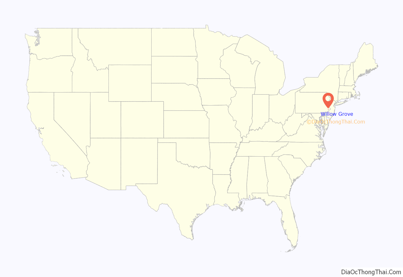
Willow Grove is a census-designated place (CDP) in Montgomery County, Pennsylvania, United States. A community in Philadelphia‘s northern suburbs, the population was 13,730 at the 2020 census. It is located in Upper Dublin Township, Abington Township and Upper Moreland Township. Willow Grove was once known for Willow Grove Park, an amusement park that was open from 1896 to 1976, now the site of Willow Grove Park Mall. Willow Grove is considered an edge city of Philadelphia, with large amounts of retail and office space.
Naval Air Station Joint Reserve Base Willow Grove was located northwest of the Willow Grove CDP in Horsham Township. NAS JRB Willow Grove transitioned into Horsham Air National Guard Station in September 2011.
Willow Grove is located 37 miles (60 km) southeast of Allentown and 13 miles (21 km) north of Philadelphia.
| Name: | Willow Grove CDP |
|---|---|
| LSAD Code: | 57 |
| LSAD Description: | CDP (suffix) |
| State: | Pennsylvania |
| County: | Montgomery County |
| Elevation: | 269 ft (82 m) |
| Total Area: | 3.6 sq mi (9 km²) |
| Land Area: | 3.6 sq mi (9 km²) |
| Water Area: | 0.0 sq mi (0 km²) |
| Total Population: | 15,726 |
| Population Density: | 4,400/sq mi (1,700/km²) |
| ZIP code: | 19090 |
| Area code: | 215, 267, and 445 |
| FIPS code: | 4285408 |
| GNISfeature ID: | 1193673 |
Online Interactive Map
Click on ![]() to view map in "full screen" mode.
to view map in "full screen" mode.
Willow Grove location map. Where is Willow Grove CDP?

Willow Grove Road Map
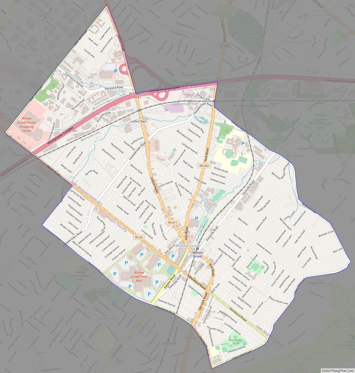
Willow Grove city Satellite Map

Geography
Willow Grove is located at 40°08′46″N 75°07′00″W / 40.146109°N 75.116641°W / 40.146109; -75.116641 (40.146109, -75.116641).
According to the U.S. Census Bureau, the CDP has a total area of 3.6 square miles (9.3 km), of which 0.28% is water. It has a hot-summer humid continental climate (Dfa) bordering upon a humid subtropical climate (Cfa) and its hardiness zone is 7a. Average monthly temperatures range from 31.8 °F in January to 75.9 °F in July.
See also
Map of Pennsylvania State and its subdivision:- Adams
- Allegheny
- Armstrong
- Beaver
- Bedford
- Berks
- Blair
- Bradford
- Bucks
- Butler
- Cambria
- Cameron
- Carbon
- Centre
- Chester
- Clarion
- Clearfield
- Clinton
- Columbia
- Crawford
- Cumberland
- Dauphin
- Delaware
- Elk
- Erie
- Fayette
- Forest
- Franklin
- Fulton
- Greene
- Huntingdon
- Indiana
- Jefferson
- Juniata
- Lackawanna
- Lancaster
- Lawrence
- Lebanon
- Lehigh
- Luzerne
- Lycoming
- Mc Kean
- Mercer
- Mifflin
- Monroe
- Montgomery
- Montour
- Northampton
- Northumberland
- Perry
- Philadelphia
- Pike
- Potter
- Schuylkill
- Snyder
- Somerset
- Sullivan
- Susquehanna
- Tioga
- Union
- Venango
- Warren
- Washington
- Wayne
- Westmoreland
- Wyoming
- York
- Alabama
- Alaska
- Arizona
- Arkansas
- California
- Colorado
- Connecticut
- Delaware
- District of Columbia
- Florida
- Georgia
- Hawaii
- Idaho
- Illinois
- Indiana
- Iowa
- Kansas
- Kentucky
- Louisiana
- Maine
- Maryland
- Massachusetts
- Michigan
- Minnesota
- Mississippi
- Missouri
- Montana
- Nebraska
- Nevada
- New Hampshire
- New Jersey
- New Mexico
- New York
- North Carolina
- North Dakota
- Ohio
- Oklahoma
- Oregon
- Pennsylvania
- Rhode Island
- South Carolina
- South Dakota
- Tennessee
- Texas
- Utah
- Vermont
- Virginia
- Washington
- West Virginia
- Wisconsin
- Wyoming


