Yardley is a borough in Bucks County, Pennsylvania. Yardley borders the Delaware River and Ewing, New Jersey to its east and Lower Makefield Township to its north, west, and south. The United States Post Office assigns many addresses in Lower Makefield Township the preferred city of “Yardley”, although they are outside the borough. The population was 2,434 at the 2010 census. Yardley is part of the Delaware Valley metropolitan area.
| Name: | Yardley borough |
|---|---|
| LSAD Code: | 21 |
| LSAD Description: | borough (suffix) |
| State: | Pennsylvania |
| County: | Bucks County |
| Founded: | 1682 |
| Incorporated: | March 4, 1895 |
| Elevation: | 46 ft (14 m) |
| Total Area: | 1.02 sq mi (2.64 km²) |
| Land Area: | 0.93 sq mi (2.42 km²) |
| Water Area: | 0.09 sq mi (0.22 km²) 8.8% |
| Total Population: | 2,480 |
| Population Density: | 2,691.65/sq mi (1,039.33/km²) |
| ZIP code: | 19067 |
| Area code: | 215, 267 and 445 |
| FIPS code: | 4286920 |
| Website: | www.yardleyboro.com |
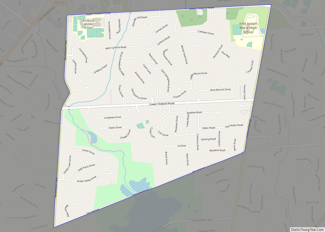
Online Interactive Map
Click on ![]() to view map in "full screen" mode.
to view map in "full screen" mode.
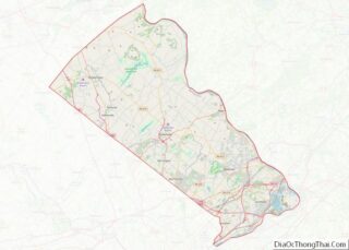
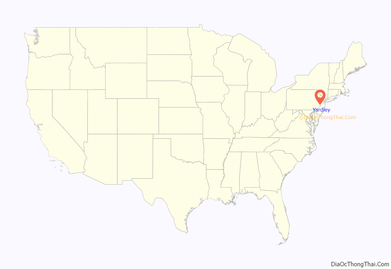
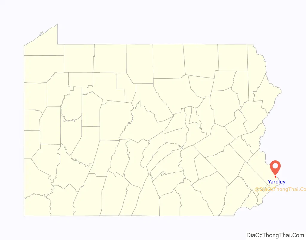
Yardley location map. Where is Yardley borough?
History
Yardley was founded by William Yardley, who emigrated to America in July, 1682 with his family. He made an agreement with William Penn, before leaving England, to buy 500 acres (2.0 km) for ten pounds. A survey was completed in October 1682, and the area William Yardley settled was called “Prospect Farm.” It was located just outside the present Yardley Borough. William Yardley died in 1693, and his family in 1702–1703, possibly of smallpox. The family’s burial plots are located in Slate Hill Cemetery, one of the oldest Quaker burial grounds in the state.
A nephew, Thomas Yardley, came to America in 1704 to settle the estate and never returned to England. He opened a ferry line which started operating in 1710 from Letchworth Avenue, the lower boundary of the village, and landed in New Jersey further downstream. This was an important link between West Jersey and the three roads leading to Philadelphia by way of Falls, Langhorne and Newtown. The Yardley family occupied the land for more than 150 years. When Yardley was founded there were already small settlements at nearby Burlington, Bristol, and Falls Ferry.
Yardley began to develop into a village about 1807, and by 1880 had a population of 820. Early industries included a spoke and handle factory, sawmill, felloe factory, plate and plaster mill, and two flour mills. The first post office, established in 1828, used the name “Yardleyville.” The name became “Yardley” again at the time the Reading Railroad came through the area in 1876.
During the American Civil War, Yardley was a station for the Underground Railroad, an escape route for slaves. Known hiding places were under the eaves of the Continental Hotel (now the Continental Tavern), in bins of warehouses on the Delaware Canal (completed in 1862), and at the General Store (now Worthington Insurance). At Lakeside, the yellow house facing Lake Afton on N. Main Street, one brick-walled cellar room is also thought to have been a hiding place.
Yardley Borough was incorporated on March 4, 1895.
The Train Collectors Association, which now boasts worldwide membership of 30,000 individuals, was founded in Yardley in 1954.
The former Bridge in Yardley Borough, Washington Crossing State Park, and Yardley Historic District are listed on the National Register of Historic Places.
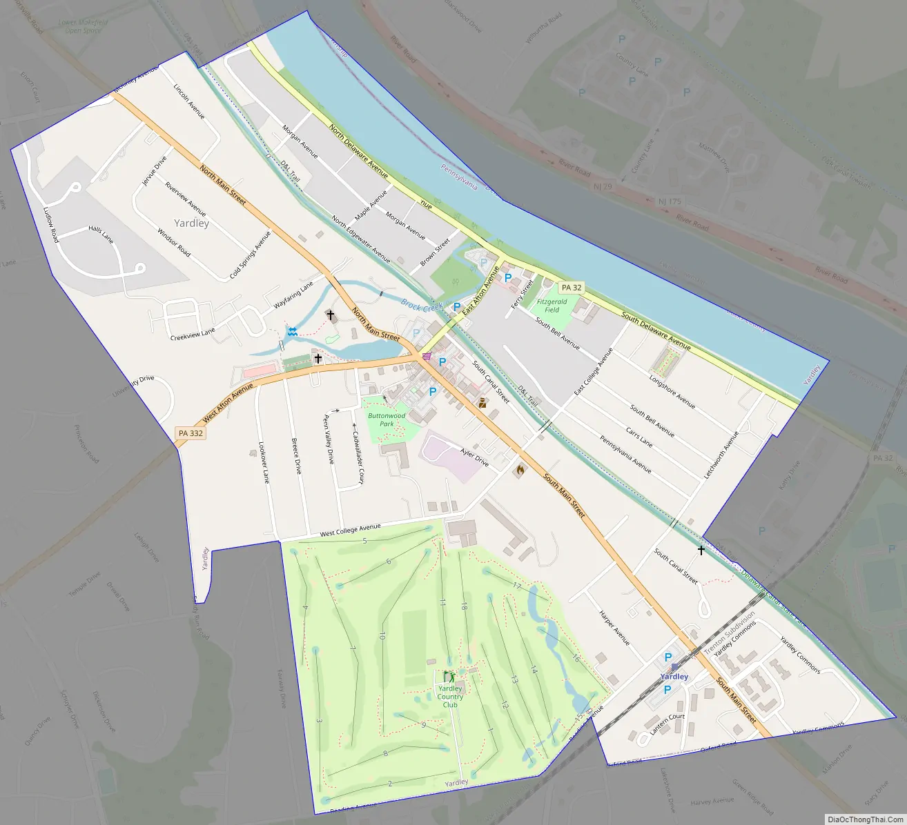
Yardley Road Map
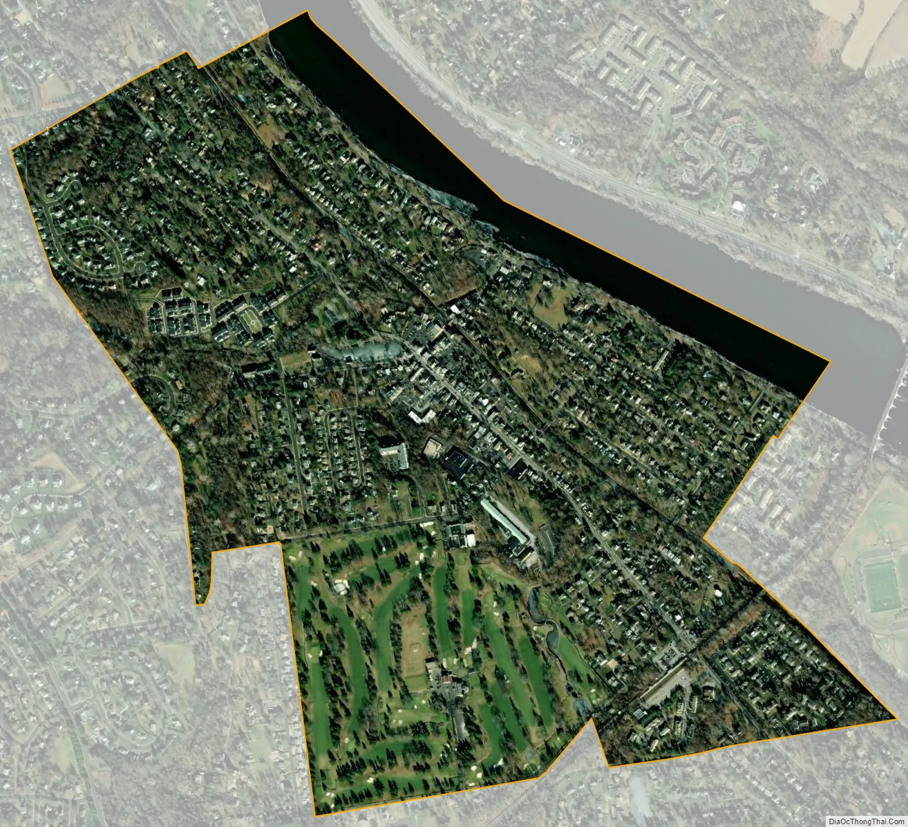
Yardley city Satellite Map
Geography
Yardley is located at 40°14′29″N 74°50′11″W / 40.24139°N 74.83639°W / 40.24139; -74.83639 (40.241508, -74.836325). According to the U.S. Census Bureau, the borough has a total area of 1.0 square mile (2.6 km), of which 0.9 square miles (2.3 km) is land and 0.1 square miles (0.26 km) (9.90%) is water.
The Delaware Canal and its towpath bisect the borough from northwest to southeast. Access points to the canal are located at Edgewater Avenue, Afton Avenue, Fuld Avenue, College Avenue and South Canal Street.
The Yardley station, a SEPTA Regional Rail station, is located on Main Street.
See also
Map of Pennsylvania State and its subdivision:- Adams
- Allegheny
- Armstrong
- Beaver
- Bedford
- Berks
- Blair
- Bradford
- Bucks
- Butler
- Cambria
- Cameron
- Carbon
- Centre
- Chester
- Clarion
- Clearfield
- Clinton
- Columbia
- Crawford
- Cumberland
- Dauphin
- Delaware
- Elk
- Erie
- Fayette
- Forest
- Franklin
- Fulton
- Greene
- Huntingdon
- Indiana
- Jefferson
- Juniata
- Lackawanna
- Lancaster
- Lawrence
- Lebanon
- Lehigh
- Luzerne
- Lycoming
- Mc Kean
- Mercer
- Mifflin
- Monroe
- Montgomery
- Montour
- Northampton
- Northumberland
- Perry
- Philadelphia
- Pike
- Potter
- Schuylkill
- Snyder
- Somerset
- Sullivan
- Susquehanna
- Tioga
- Union
- Venango
- Warren
- Washington
- Wayne
- Westmoreland
- Wyoming
- York
- Alabama
- Alaska
- Arizona
- Arkansas
- California
- Colorado
- Connecticut
- Delaware
- District of Columbia
- Florida
- Georgia
- Hawaii
- Idaho
- Illinois
- Indiana
- Iowa
- Kansas
- Kentucky
- Louisiana
- Maine
- Maryland
- Massachusetts
- Michigan
- Minnesota
- Mississippi
- Missouri
- Montana
- Nebraska
- Nevada
- New Hampshire
- New Jersey
- New Mexico
- New York
- North Carolina
- North Dakota
- Ohio
- Oklahoma
- Oregon
- Pennsylvania
- Rhode Island
- South Carolina
- South Dakota
- Tennessee
- Texas
- Utah
- Vermont
- Virginia
- Washington
- West Virginia
- Wisconsin
- Wyoming