York Springs is a borough in Adams County, Pennsylvania, United States. The population was 683 at the 2020 census. York Springs is served by the Bermudian Springs School District.
| Name: | York Springs borough |
|---|---|
| LSAD Code: | 21 |
| LSAD Description: | borough (suffix) |
| State: | Pennsylvania |
| County: | Adams County |
| Incorporated: | 1868 |
| Elevation: | 650 ft (200 m) |
| Total Area: | 0.20 sq mi (0.52 km²) |
| Land Area: | 0.20 sq mi (0.52 km²) |
| Water Area: | 0.00 sq mi (0.00 km²) |
| Total Population: | 683 |
| Population Density: | 3,899.50/sq mi (1,504.51/km²) |
| Area code: | 717 |
| FIPS code: | 4287136 |
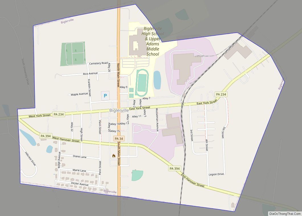
Online Interactive Map
Click on ![]() to view map in "full screen" mode.
to view map in "full screen" mode.
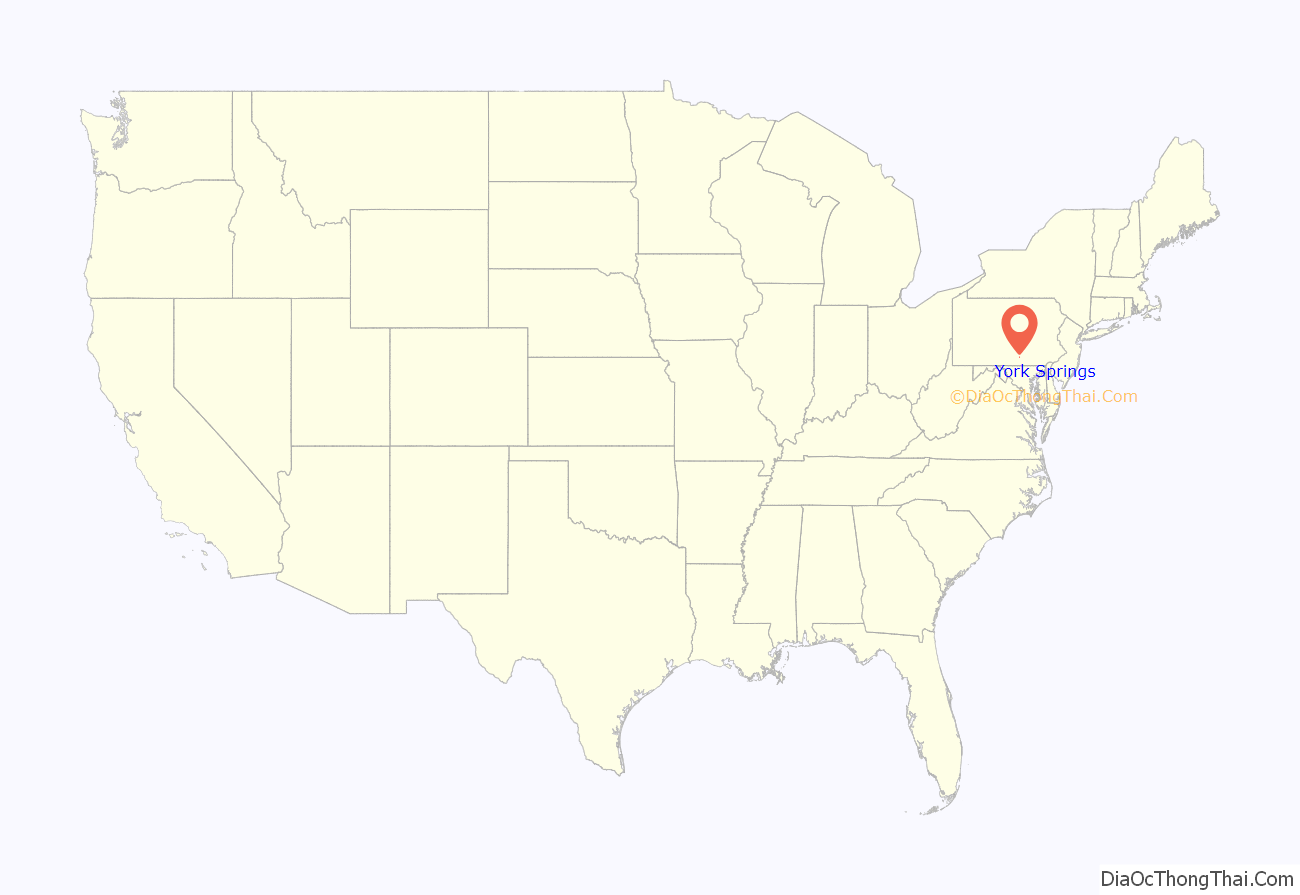
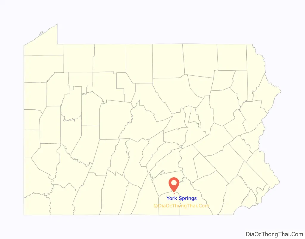
York Springs location map. Where is York Springs borough?
History
York Springs was platted as Petersburg within Latimore Township. York Sulphur Springs, the first summer resort in Adams County, was patronized by people from Philadelphia and Baltimore who came to the resort by stage coach. General George Washington and his wife Martha visited the area in the summer of 1799. The water was regarded as medicinal but unpalatable. Analysis claimed 20 parts Epsom salts, 6 parts gypsum, 4 parts common salt, and the balance sulfur. The hotel was destroyed by fire on January 8, 1896. The Springs’ popularity decreased with the construction of the railroad and the resort buildings disappeared.
York Springs’ previous names were York Sulphur Springs and Petersburg. To completely end confusion with Littlestown, when Petersburg became a borough in 1868 it was named York Sulphur Springs, later shortened to York Springs.
York Springs Road Map
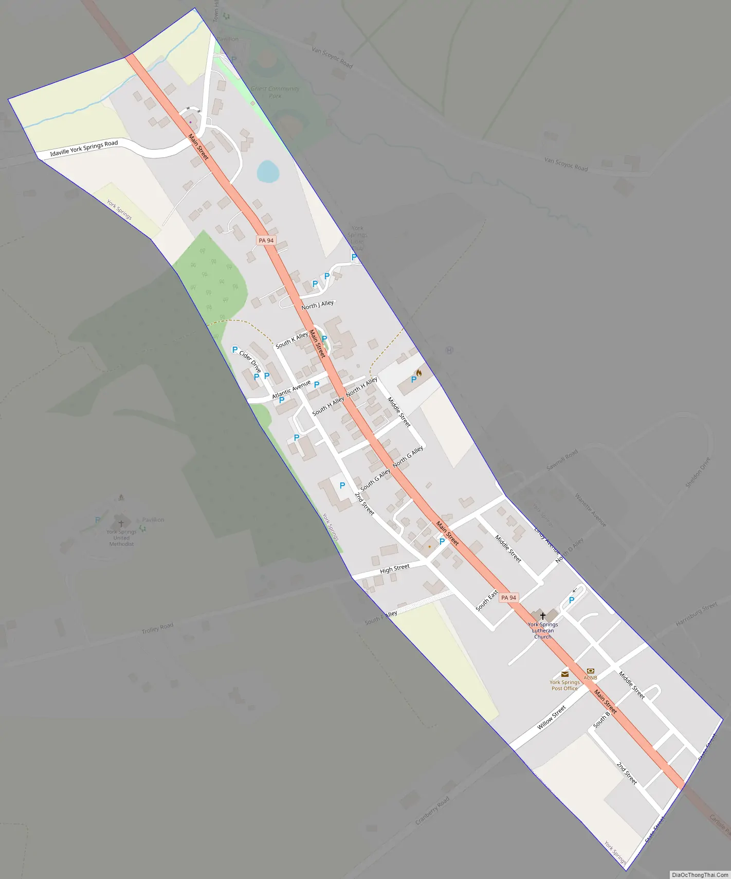
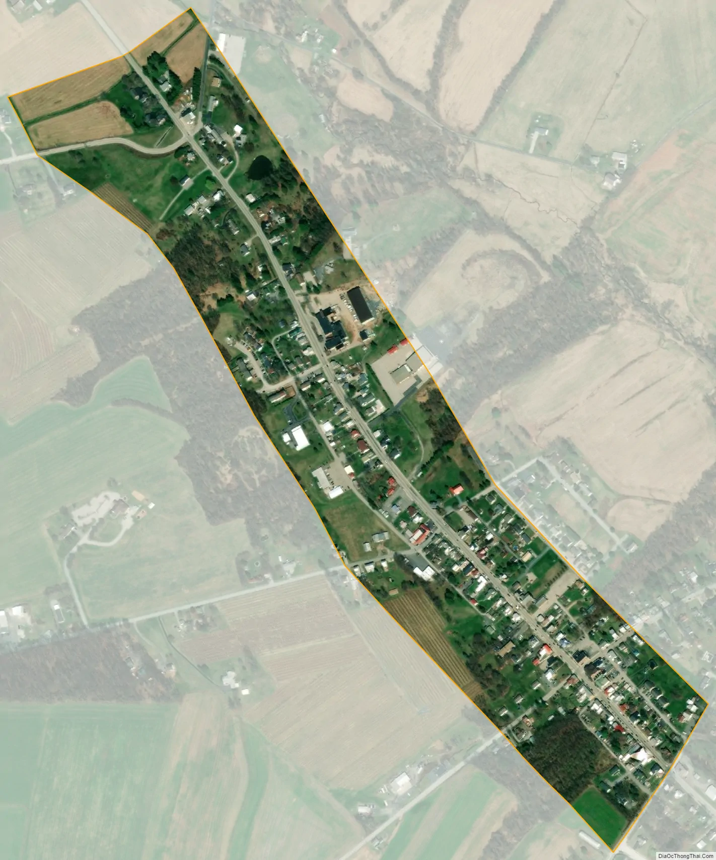
York Springs city Satellite Map
Geography
York Springs is located at 40°0′25″N 77°6′51″W / 40.00694°N 77.11417°W / 40.00694; -77.11417 (40.006865, -77.114066). Main Street in the borough is Pennsylvania Route 94, which runs north to Mount Holly Springs and south to Hanover. U.S. Route 15 passes just to the southeast of the borough.
According to the U.S. Census Bureau, the borough has a total area of 0.23 square miles (0.6 km), all land.
The United States Postal ZIP Code is 17372. The local telephone exchange prefix is 528.
See also
Map of Pennsylvania State and its subdivision:- Adams
- Allegheny
- Armstrong
- Beaver
- Bedford
- Berks
- Blair
- Bradford
- Bucks
- Butler
- Cambria
- Cameron
- Carbon
- Centre
- Chester
- Clarion
- Clearfield
- Clinton
- Columbia
- Crawford
- Cumberland
- Dauphin
- Delaware
- Elk
- Erie
- Fayette
- Forest
- Franklin
- Fulton
- Greene
- Huntingdon
- Indiana
- Jefferson
- Juniata
- Lackawanna
- Lancaster
- Lawrence
- Lebanon
- Lehigh
- Luzerne
- Lycoming
- Mc Kean
- Mercer
- Mifflin
- Monroe
- Montgomery
- Montour
- Northampton
- Northumberland
- Perry
- Philadelphia
- Pike
- Potter
- Schuylkill
- Snyder
- Somerset
- Sullivan
- Susquehanna
- Tioga
- Union
- Venango
- Warren
- Washington
- Wayne
- Westmoreland
- Wyoming
- York
- Alabama
- Alaska
- Arizona
- Arkansas
- California
- Colorado
- Connecticut
- Delaware
- District of Columbia
- Florida
- Georgia
- Hawaii
- Idaho
- Illinois
- Indiana
- Iowa
- Kansas
- Kentucky
- Louisiana
- Maine
- Maryland
- Massachusetts
- Michigan
- Minnesota
- Mississippi
- Missouri
- Montana
- Nebraska
- Nevada
- New Hampshire
- New Jersey
- New Mexico
- New York
- North Carolina
- North Dakota
- Ohio
- Oklahoma
- Oregon
- Pennsylvania
- Rhode Island
- South Carolina
- South Dakota
- Tennessee
- Texas
- Utah
- Vermont
- Virginia
- Washington
- West Virginia
- Wisconsin
- Wyoming