Zion is an unincorporated community and census-designated place (CDP) in Centre County, Pennsylvania, United States.
| Name: | Zion CDP |
|---|---|
| LSAD Code: | 57 |
| LSAD Description: | CDP (suffix) |
| State: | Pennsylvania |
| County: | Centre County |
| Elevation: | 1,010 ft (310 m) |
| Total Area: | 2.88 sq mi (7.46 km²) |
| Land Area: | 2.88 sq mi (7.46 km²) |
| Water Area: | 0.0 sq mi (0.0 km²) |
| Total Population: | 2,036 |
| Population Density: | 705/sq mi (272.1/km²) |
| ZIP code: | 16823 |
| Area code: | 814 |
| FIPS code: | 4287320 |
| GNISfeature ID: | 1191960 |
Online Interactive Map
Click on ![]() to view map in "full screen" mode.
to view map in "full screen" mode.
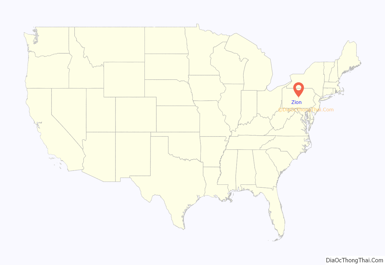
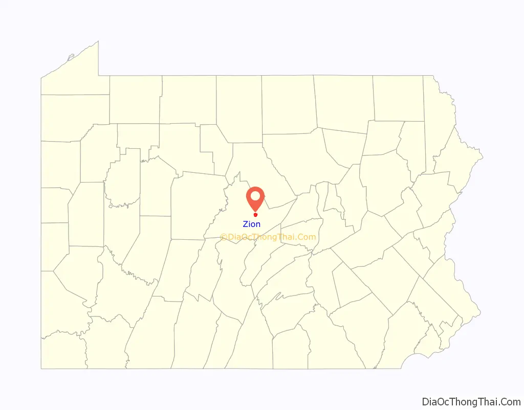
Zion location map. Where is Zion CDP?
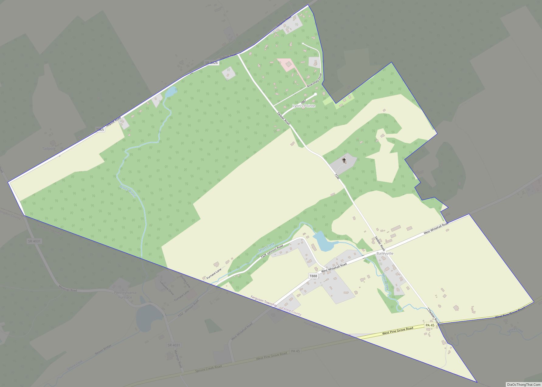
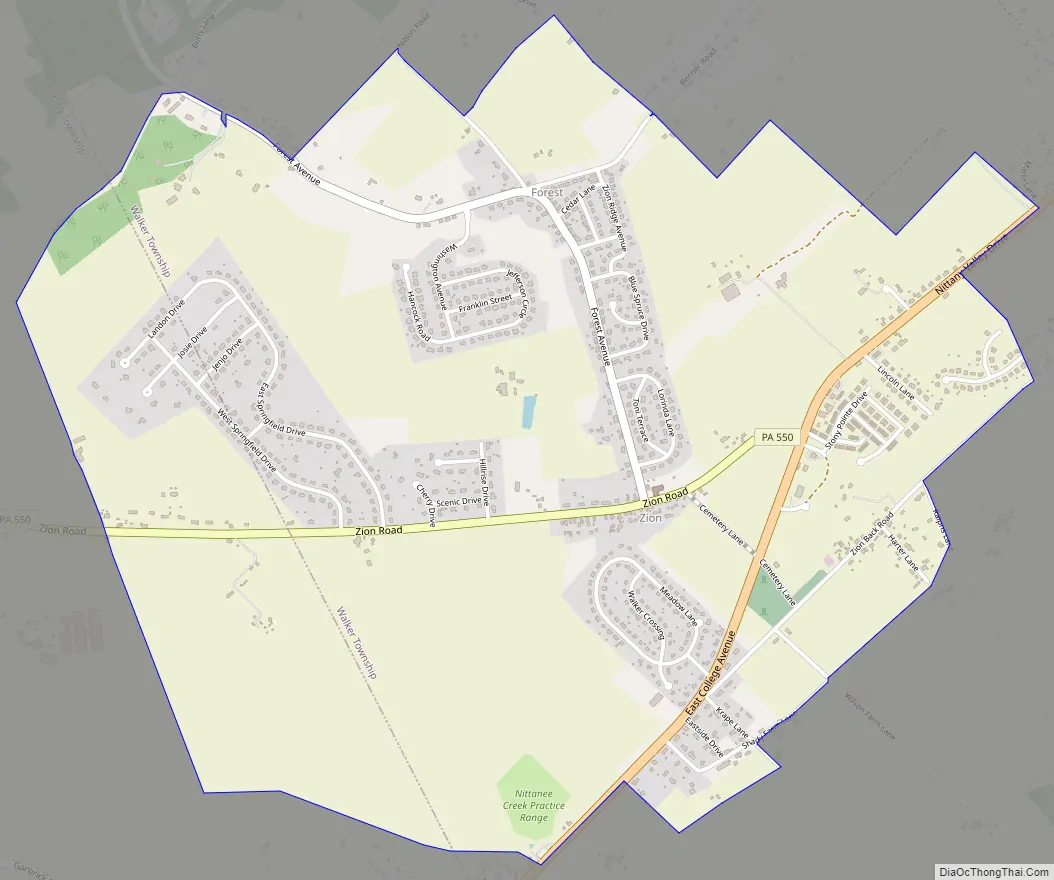
Zion Road Map
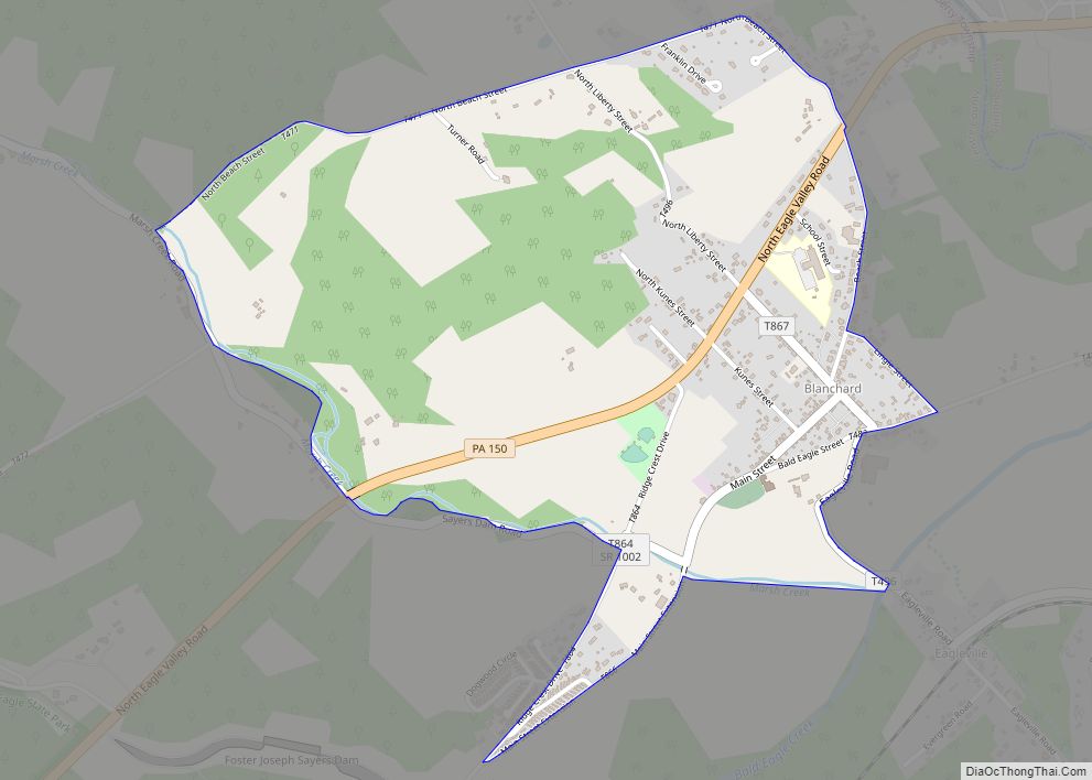
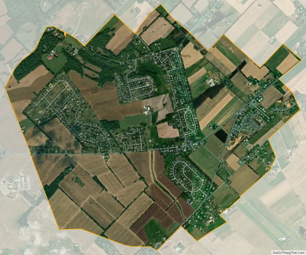
Zion city Satellite Map
Geography
Zion is located in the northeast of the center of Centre County at 40°54′57″N 77°40′50″W / 40.91583°N 77.68056°W / 40.91583; -77.68056 (40.915741, -77.680467). The village center is in southwestern Walker Township, but the CDP extends southwest into Spring Township. Zion is in the Nittany Valley, between Nittany Mountain to the southeast and the lower Sand Ridge to the north.
Pennsylvania Routes 64 and 550 join in the eastern part of Zion. PA 64 leads northeast up the Nittany Valley 12 miles (19 km) to Interstate 80 at Lamar and southwest 12 miles (19 km) to State College. PA 550 leads west 3 miles (5 km) to Interstate 99 and 5 miles (8 km) to Bellefonte, the Centre County seat.
According to the United States Census Bureau, the Zion CDP has a total area of 2.88 square miles (7.46 km), all land.
See also
Map of Pennsylvania State and its subdivision:- Adams
- Allegheny
- Armstrong
- Beaver
- Bedford
- Berks
- Blair
- Bradford
- Bucks
- Butler
- Cambria
- Cameron
- Carbon
- Centre
- Chester
- Clarion
- Clearfield
- Clinton
- Columbia
- Crawford
- Cumberland
- Dauphin
- Delaware
- Elk
- Erie
- Fayette
- Forest
- Franklin
- Fulton
- Greene
- Huntingdon
- Indiana
- Jefferson
- Juniata
- Lackawanna
- Lancaster
- Lawrence
- Lebanon
- Lehigh
- Luzerne
- Lycoming
- Mc Kean
- Mercer
- Mifflin
- Monroe
- Montgomery
- Montour
- Northampton
- Northumberland
- Perry
- Philadelphia
- Pike
- Potter
- Schuylkill
- Snyder
- Somerset
- Sullivan
- Susquehanna
- Tioga
- Union
- Venango
- Warren
- Washington
- Wayne
- Westmoreland
- Wyoming
- York
- Alabama
- Alaska
- Arizona
- Arkansas
- California
- Colorado
- Connecticut
- Delaware
- District of Columbia
- Florida
- Georgia
- Hawaii
- Idaho
- Illinois
- Indiana
- Iowa
- Kansas
- Kentucky
- Louisiana
- Maine
- Maryland
- Massachusetts
- Michigan
- Minnesota
- Mississippi
- Missouri
- Montana
- Nebraska
- Nevada
- New Hampshire
- New Jersey
- New Mexico
- New York
- North Carolina
- North Dakota
- Ohio
- Oklahoma
- Oregon
- Pennsylvania
- Rhode Island
- South Carolina
- South Dakota
- Tennessee
- Texas
- Utah
- Vermont
- Virginia
- Washington
- West Virginia
- Wisconsin
- Wyoming