Bellflower is a city located in southeast Los Angeles County, California, in the Los Angeles metropolitan area. It was founded in 1906 and incorporated on September 3, 1957. As of the 2020 census, the city had a total population of 79,190, up from 76,616 at the 2010 census. This made it the 65th most densely populated city in the United States, of cities over 50,000 residents (and the 8th most densely populated city in California).
| Name: | Bellflower city |
|---|---|
| LSAD Code: | 25 |
| LSAD Description: | city (suffix) |
| State: | California |
| County: | Los Angeles County |
| Founded: | 1906 |
| Incorporated: | September 3, 1957 |
| Elevation: | 22 m (71 ft) |
| Total Area: | 15.97 km² (6.17 sq mi) |
| Land Area: | 15.84 km² (6.12 sq mi) |
| Water Area: | 0.13 km² (0.05 sq mi) 0.86% |
| Total Population: | 79,190 |
| Population Density: | 4,998.23/km² (12,945.89/sq mi) |
| ZIP code: | 90706, 90707 |
| Area code: | 562 |
| FIPS code: | 0604982 |
| Website: | www.bellflower.org |
Online Interactive Map
Click on ![]() to view map in "full screen" mode.
to view map in "full screen" mode.
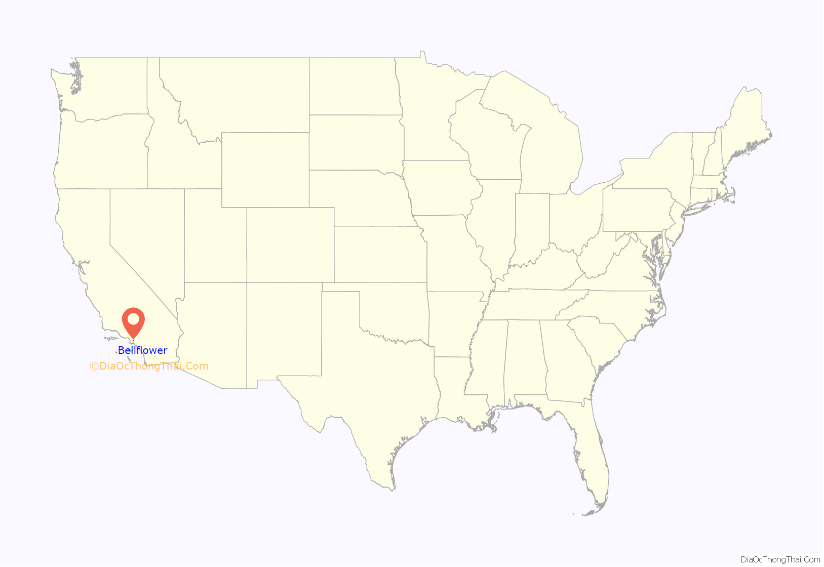
Bellflower location map. Where is Bellflower city?

History
The site was formerly rich farmland watered by artesian wells and floodwaters of the now-contained San Gabriel River. In 1906, F.E. Woodruff, a local real estate investor, founded the first municipality on the site, which was named Somerset in 1909 when a post office was established there. However, the proponents of the name ‘Bellflower’ claimed that the US Post Office Department rejected the name ‘Somerset’ to prevent confusion with Somerset, Colorado. The present name is derived from the bellflower apple, which was grown in local orchards during the early 1900s.
Originally settled by dairy farmers of Dutch, Japanese, and Portuguese descent, Bellflower and neighboring Paramount served first as the apple and later the milk production centers for Southern California, until soaring post-World War II property values forced most of the farmers to move several miles east to the Dairy Valley/Dairyland/Dairy City area (now the cities of Cerritos, La Palma, and Cypress). These farms were in turn converted into large housing subdivisions for Los Angeles’s growing population that worked in the region’s skilled industrial and service sectors. As a result, amongst the highly diverse backgrounds in Bellflower, there remains today a notable number of residents of Dutch descent; Bellflower is one of the only cities in the US to boast multiple Dutch grocery stores.
After Bellflower was incorporated in 1957, its gradual metamorphosis from agricultural center to residential suburb continued. From the 1950s through the late 1960s, Bellflower Boulevard, the city’s main thoroughfare, was a thriving commercial strip for shopping. Numerous retail and franchise restaurant firms began on this street, which also featured middle- and high-end boutiques, arts and crafts shops, and other small shopkeeps alongside larger department stores and banks. Today, Bellflower is an urban community within greater Southeast Los Angeles, and ranks amongst the most densely populated cities in the United States. It is a sister city with Los Mochis, Sinaloa, Mexico.
Bellflower Road Map

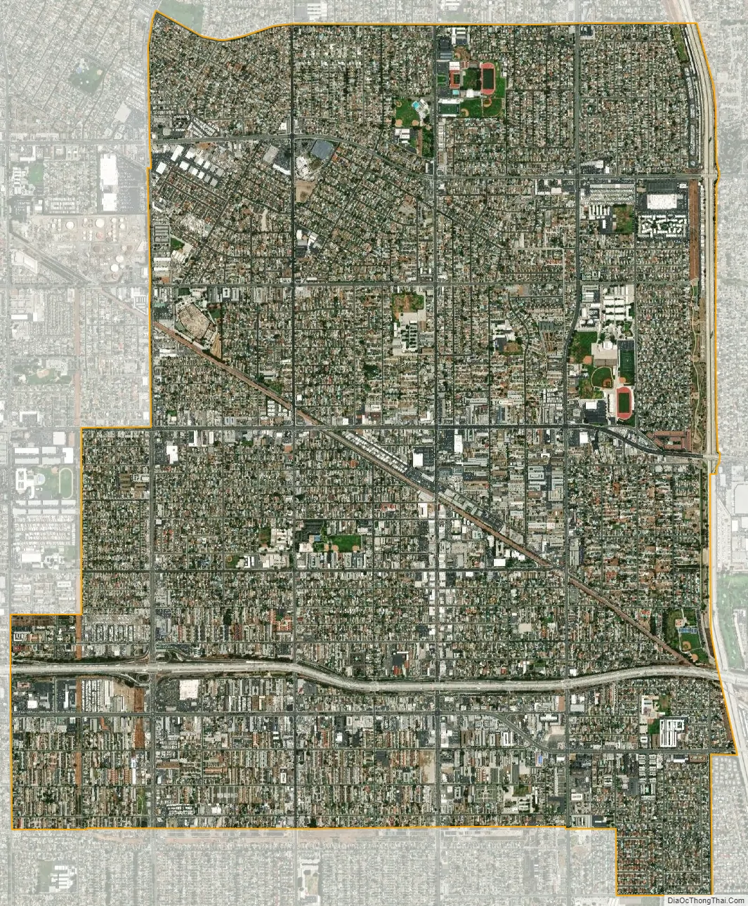
Bellflower city Satellite Map
Geography
Bellflower is located at 33°53′17″N 118°07′39″W / 33.888165°N 118.127604°W / 33.888165; -118.127604.
According to the United States Census Bureau, the city has a total area of 6.2 square miles (16 km). 6.1 square miles (16 km) of it is land and 0.1 square miles (0.26 km) of it (0.86%) is water.
Bellflower is bordered by Downey on the north and northwest, Norwalk and Cerritos on the east, Lakewood on the south, Long Beach on the southwest, and Paramount on the west. Bellflower is part of Southeast Los Angeles County and the “Gateway Cities Council of Governments” (GCOG).
See also
Map of California State and its subdivision:- Alameda
- Alpine
- Amador
- Butte
- Calaveras
- Colusa
- Contra Costa
- Del Norte
- El Dorado
- Fresno
- Glenn
- Humboldt
- Imperial
- Inyo
- Kern
- Kings
- Lake
- Lassen
- Los Angeles
- Madera
- Marin
- Mariposa
- Mendocino
- Merced
- Modoc
- Mono
- Monterey
- Napa
- Nevada
- Orange
- Placer
- Plumas
- Riverside
- Sacramento
- San Benito
- San Bernardino
- San Diego
- San Francisco
- San Joaquin
- San Luis Obispo
- San Mateo
- Santa Barbara
- Santa Clara
- Santa Cruz
- Shasta
- Sierra
- Siskiyou
- Solano
- Sonoma
- Stanislaus
- Sutter
- Tehama
- Trinity
- Tulare
- Tuolumne
- Ventura
- Yolo
- Yuba
- Alabama
- Alaska
- Arizona
- Arkansas
- California
- Colorado
- Connecticut
- Delaware
- District of Columbia
- Florida
- Georgia
- Hawaii
- Idaho
- Illinois
- Indiana
- Iowa
- Kansas
- Kentucky
- Louisiana
- Maine
- Maryland
- Massachusetts
- Michigan
- Minnesota
- Mississippi
- Missouri
- Montana
- Nebraska
- Nevada
- New Hampshire
- New Jersey
- New Mexico
- New York
- North Carolina
- North Dakota
- Ohio
- Oklahoma
- Oregon
- Pennsylvania
- Rhode Island
- South Carolina
- South Dakota
- Tennessee
- Texas
- Utah
- Vermont
- Virginia
- Washington
- West Virginia
- Wisconsin
- Wyoming


