Atherton (/ˈæθərtən/) is an incorporated town in San Mateo County, California, United States. Its population was 7,188 as of 2020.
Atherton is known for its wealth; in 1990 and 2019, Atherton was ranked as having the highest per capita income among U.S. towns that have a population between 2,500 and 9,999, and the area covered by its zip code is regularly ranked as having the highest cost of living in the United States.
| Name: | Atherton town |
|---|---|
| LSAD Code: | 43 |
| LSAD Description: | town (suffix) |
| State: | California |
| County: | San Mateo County |
| Incorporated: | September 12, 1923 |
| Elevation: | 59 ft (18 m) |
| Total Area: | 5.05 sq mi (13.07 km²) |
| Land Area: | 5.02 sq mi (12.99 km²) |
| Water Area: | 0.03 sq mi (0.08 km²) 0.63% |
| Total Population: | 7,193 |
| Population Density: | 1,433.01/sq mi (553.28/km²) |
| ZIP code: | 94027 |
| Area code: | 650 |
| FIPS code: | 0603092 |
| Website: | www.ci.atherton.ca.us |
Online Interactive Map
Click on ![]() to view map in "full screen" mode.
to view map in "full screen" mode.
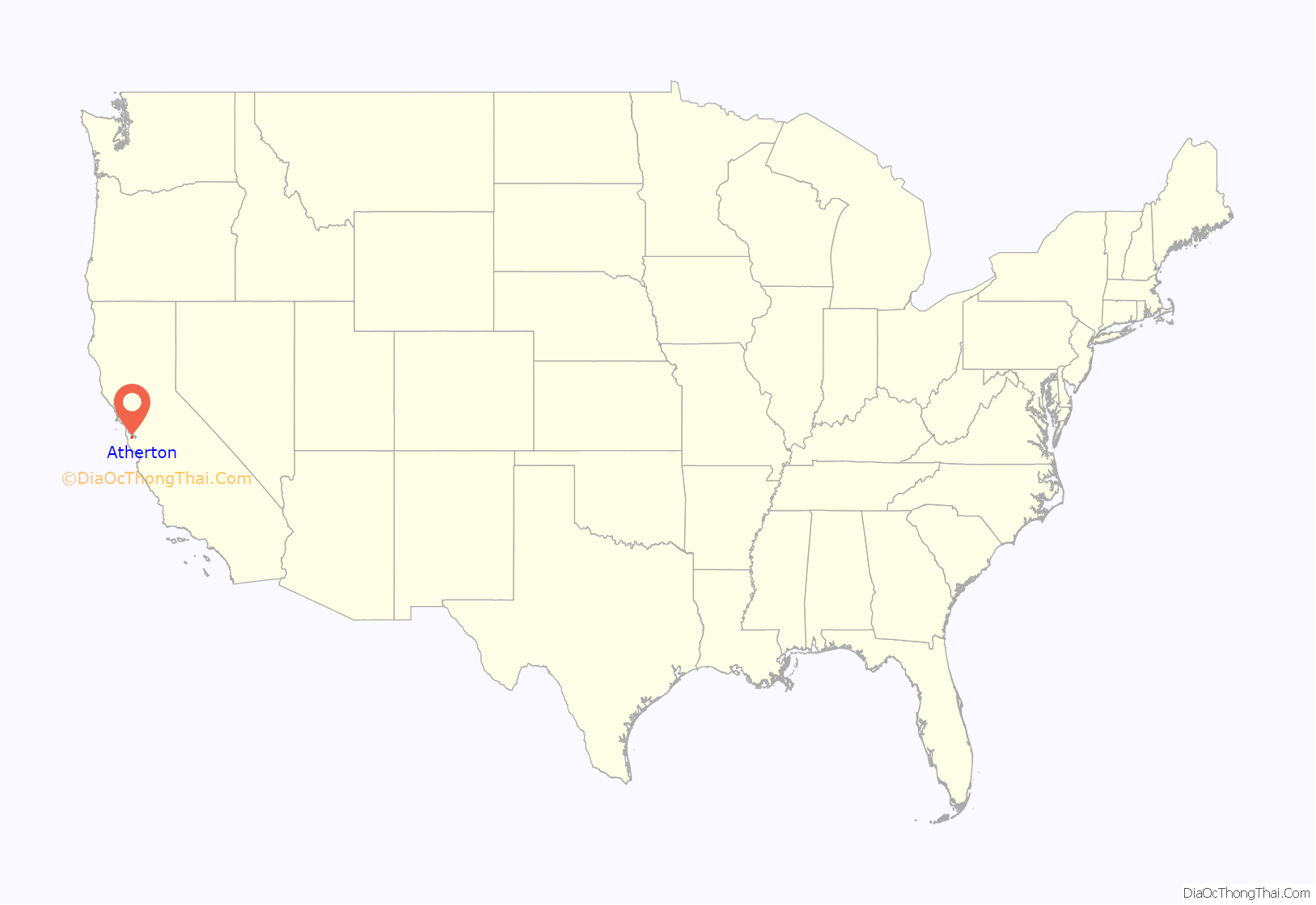
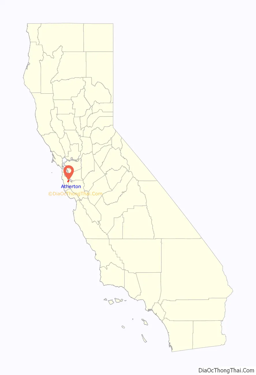
Atherton location map. Where is Atherton town?
History
The entire area was originally part of the Rancho de las Pulgas.
During the 1860s, Atherton was known as Fair Oaks. In 1923, it was decided to rename the town in honor of Faxon Dean Atherton, a former 19th century landowner on the south peninsula.
Lawsuit against the electrification of Caltrain
The town has been involved in lawsuits to block or delay the introduction of high-speed rail in California. Atherton was an early and vocal opponent of the electrification of the U.S. commuter railroad Caltrain, which serves cities in the San Francisco Peninsula and Silicon Valley. Residents opposed electrification and the proposed high-speed rail route because the overhead electrical lines would require tree removal and the town could potentially be divided by the closing of the two grade crossings at Fair Oaks Lane and Watkins Avenue.
In February 2015, shortly after the project received environmental clearance from the state, Atherton sued Caltrain, alleging the agency’s environmental impact review was inadequate and that its collaboration with the CHSRA should be further vetted. In July 2015, the suit proceeded after Caltrain’s request to the Surface Transportation Board to exempt it from California Environmental Quality Act (CEQA) guidelines was denied. Atherton reiterated its opposition to electrification on the basis that overhead wires would require removing a significant number of heritage trees, and city representatives asserted that “newer, cleaner, more efficient diesel trains” should supplant plans for “century-old catenary electrical line technology”. Atherton mayor Rick De Golia was quoted as saying “Caltrain is locked into an old technology and 20th century thinking”. After Caltrain issued infrastructure and rolling stock contracts in July 2016, Atherton representatives did not file a temporary restraining order to halt those contracts, preferring to let the suit proceed to a hearing. In September 2016, Contra Costa County Superior Court Judge Barry Goode sided with Caltrain, ruling that the electrification project did not hinge on the high-speed rail project’s success, and was thus independent from the latter.
Atherton sued CHSRA again in December 2016, stating that using bond money intended for high-speed rail for CalMod was a material change in usage and therefore was unconstitutional because such a change would require voter approval first. In response, the California Legislature allowed the funding to be redirected by passing Assembly Bill No. 1889, which had been championed by Assemblymember Kevin Mullin in 2015. Mullin noted “this entire Caltrain corridor is the epicenter of the innovation economy and it’s a job creation and economic engine. This electrification project, I would argue, is monumental with regard to dealing with [increased traffic and environmental impacts] effectively and efficiently.”
The Caltrain station closed in 2020.
Land use and housing
Atherton is the wealthiest city in the United States. According to the San Francisco Chronicle, “the town’s ascendance stems largely from its single-family zoning, 1-acre-minimum lot sizes, flat land, streamlined permits and changing buyer demographics — which have translated into soaring house sizes and skyrocketing prices.” There is no commercial zoning in the town, thus there are no restaurants, shops or grocery stores. There are no sidewalks in Atherton, only road lanes.
Until 2022, the town’s zoning regulations permitted only one single-family home per acre and prohibit sidewalks. Partly as a result of these regulations, the average home price in the city in recent years was more than 7.5 million dollars. Many of the inhabitants have strongly opposed proposals to permit more housing construction. Among those include Golden State Warriors player Steph Curry. However, with the passage of SB 9 in 2022, the zoning regulations that limit how many units can be built on a property were nullified.
In 2022, the town blocked a proposal to build 131 multifamily housing units in the town in response to strong criticism of the proposal by the city’s inhabitants. Advocates for the construction of additional homes have criticized Atherton as being a NIMBY town. In 2022, California Governor Gavin Newsom singled out Atherton in a speech for its restrictive housing policies. The mayor said in 2022 that they were focusing on building affordable housing for staff and teachers at the city’s eight schools.
In February 2023, the Atherton City Council approved a housing plan with 348 mixed-income housing units. Under California law, the units must be built over the next eight years, and the city must reserve 148 units for occupancy by as “very low income” or “low income” individuals, 56 units for “moderate income” individuals, and 144 units for “above moderate income” individuals.
As of November 2022, Atherton’s stated land-use goal is to “preserve the Town’s character as a scenic, rural, thickly wooded residential area with abundant open space.”
Atherton Road Map
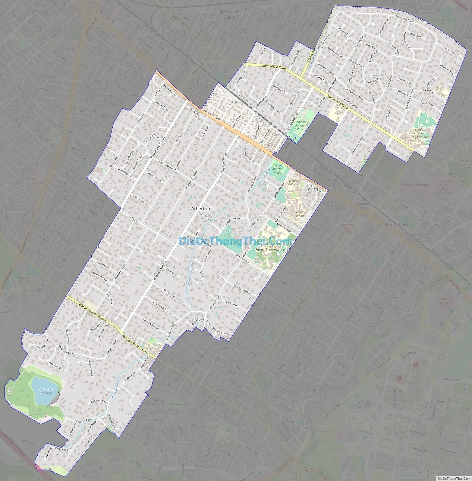
Atherton city Satellite Map

Geography
According to the United States Census Bureau, the town has a total area of 5.0 square miles (13 km), of which, 5.0 square miles (13 km) of it is land and 0.03 square miles (0.078 km) of it (0.63%) is water.
Atherton lies two miles (3.2 km) southeast of Redwood City, and 18 miles (29 km) northwest of San Jose. The town is considered to be part of the San Francisco metropolitan area.
See also
Map of California State and its subdivision:- Alameda
- Alpine
- Amador
- Butte
- Calaveras
- Colusa
- Contra Costa
- Del Norte
- El Dorado
- Fresno
- Glenn
- Humboldt
- Imperial
- Inyo
- Kern
- Kings
- Lake
- Lassen
- Los Angeles
- Madera
- Marin
- Mariposa
- Mendocino
- Merced
- Modoc
- Mono
- Monterey
- Napa
- Nevada
- Orange
- Placer
- Plumas
- Riverside
- Sacramento
- San Benito
- San Bernardino
- San Diego
- San Francisco
- San Joaquin
- San Luis Obispo
- San Mateo
- Santa Barbara
- Santa Clara
- Santa Cruz
- Shasta
- Sierra
- Siskiyou
- Solano
- Sonoma
- Stanislaus
- Sutter
- Tehama
- Trinity
- Tulare
- Tuolumne
- Ventura
- Yolo
- Yuba
- Alabama
- Alaska
- Arizona
- Arkansas
- California
- Colorado
- Connecticut
- Delaware
- District of Columbia
- Florida
- Georgia
- Hawaii
- Idaho
- Illinois
- Indiana
- Iowa
- Kansas
- Kentucky
- Louisiana
- Maine
- Maryland
- Massachusetts
- Michigan
- Minnesota
- Mississippi
- Missouri
- Montana
- Nebraska
- Nevada
- New Hampshire
- New Jersey
- New Mexico
- New York
- North Carolina
- North Dakota
- Ohio
- Oklahoma
- Oregon
- Pennsylvania
- Rhode Island
- South Carolina
- South Dakota
- Tennessee
- Texas
- Utah
- Vermont
- Virginia
- Washington
- West Virginia
- Wisconsin
- Wyoming


