Belmont is a city in San Mateo County in the U.S. state of California. It is in the San Francisco Bay Area, on the San Francisco Peninsula about halfway between San Francisco and San Jose. Known for its wooded hills, views of the San Francisco Bay and stretches of open space, Belmont is a quiet residential community in the midst of the culturally and technologically rich Bay Area. It was originally part of Rancho de las Pulgas, for which one of its main roads, the Alameda de las Pulgas, is named. The city was incorporated in 1926. Its population was 28,335 at the 2020 census.
Ralston Hall is a historic landmark built by Bank of California founder William Chapman Ralston on the campus of Notre Dame de Namur University, and is also home to Notre Dame High School. It was built around a villa formerly owned by Count Leonetto Cipriani [fr], an Italian aristocrat. The locally famous “Waterdog Lake” is also located in the foothills and highlands of Belmont. A surviving structure from the Panama–Pacific International Exposition is on Belmont Avenue (another is the Palace of Fine Arts in San Francisco). The building was brought to Belmont by E.D. Swift shortly after the exposition closed in 1915.
The city is bordered by San Mateo to the north, Half Moon Bay to the west, Redwood Shores to the east, and San Carlos to the south.
Belmont has a smoking ordinance, passed in January 2009, which bans smoking in all businesses and multi-story apartments and condominiums; the ordinance has been described as one of the strictest in the nation.
| Name: | Belmont city |
|---|---|
| LSAD Code: | 25 |
| LSAD Description: | city (suffix) |
| State: | California |
| County: | San Mateo County |
| Incorporated: | October 29, 1926 |
| Elevation: | 43 ft (13 m) |
| Total Area: | 4.64 sq mi (12.01 km²) |
| Land Area: | 4.63 sq mi (11.99 km²) |
| Water Area: | 0.01 sq mi (0.02 km²) 0.19% |
| Total Population: | 28,335 |
| Population Density: | 6,119.87/sq mi (2,363.11/km²) |
| ZIP code: | 94002 |
| Area code: | 650 |
| FIPS code: | 0605108 |
| Website: | www.belmont.gov |
Online Interactive Map
Click on ![]() to view map in "full screen" mode.
to view map in "full screen" mode.
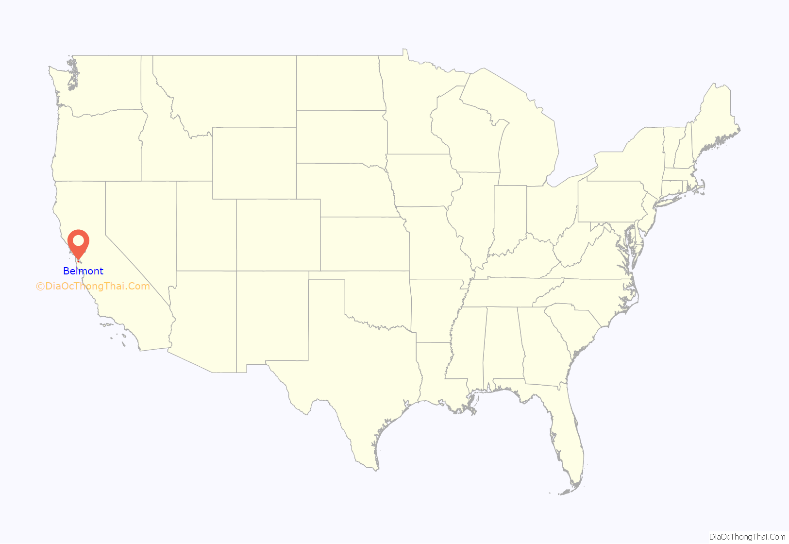
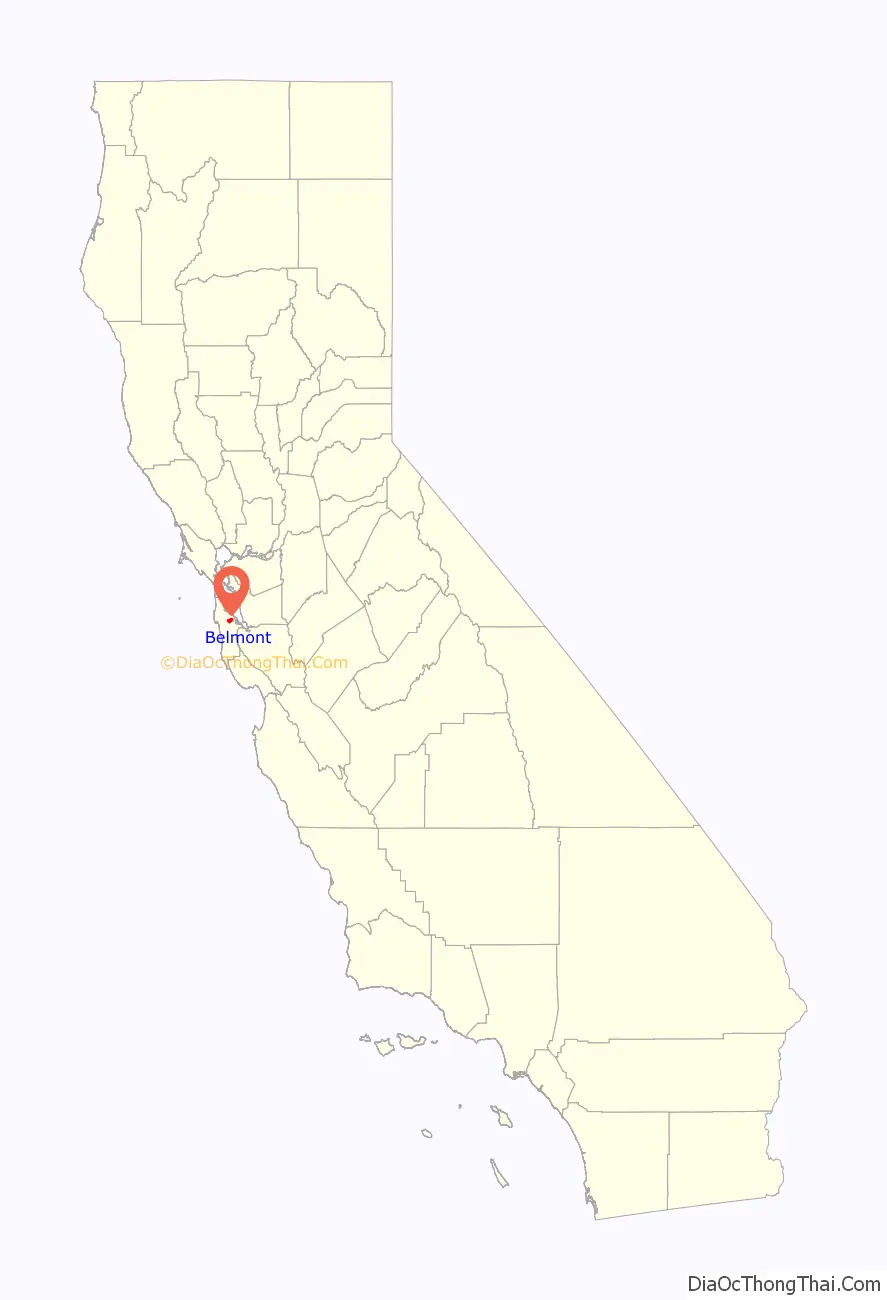
Belmont location map. Where is Belmont city?
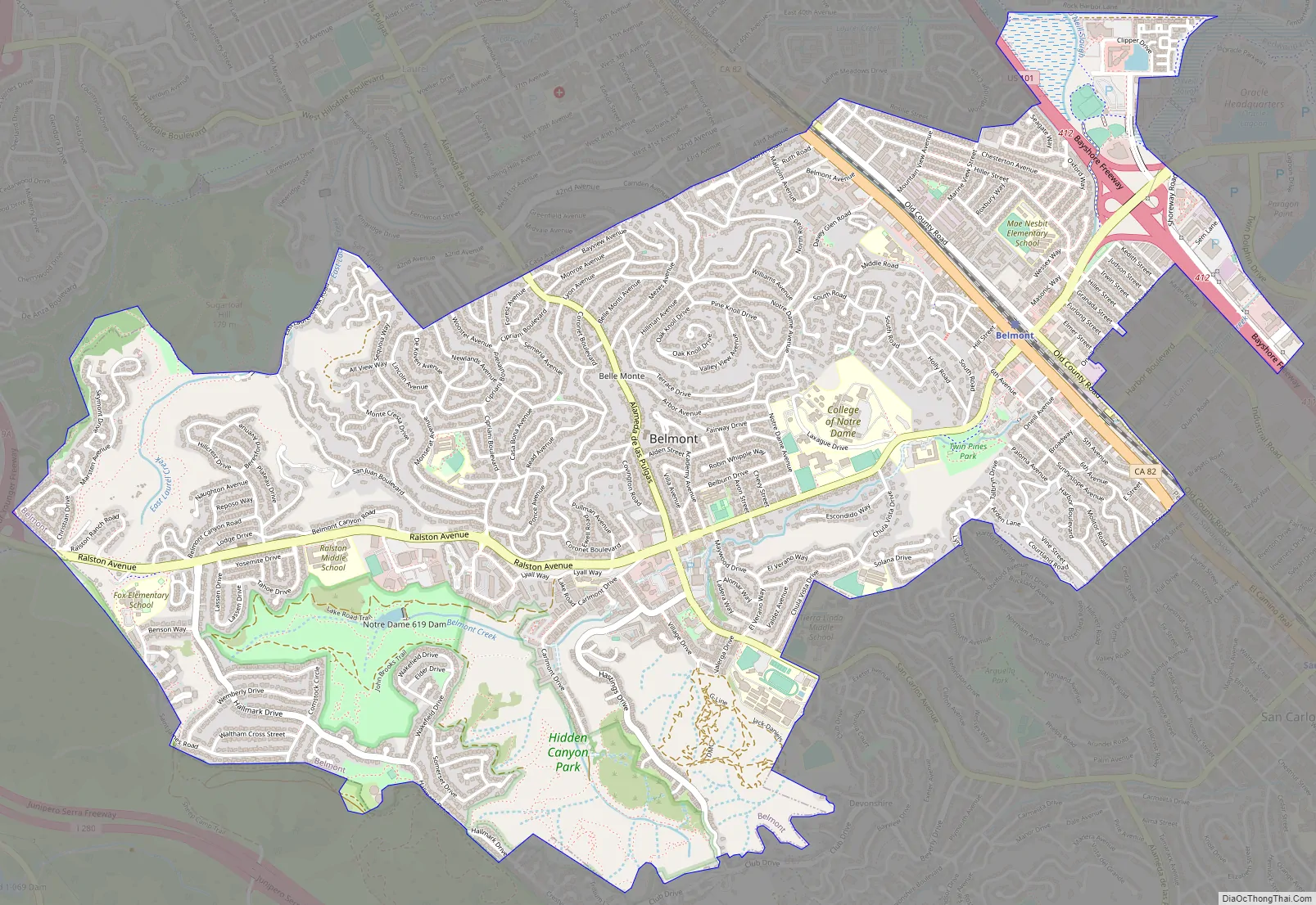
Belmont Road Map
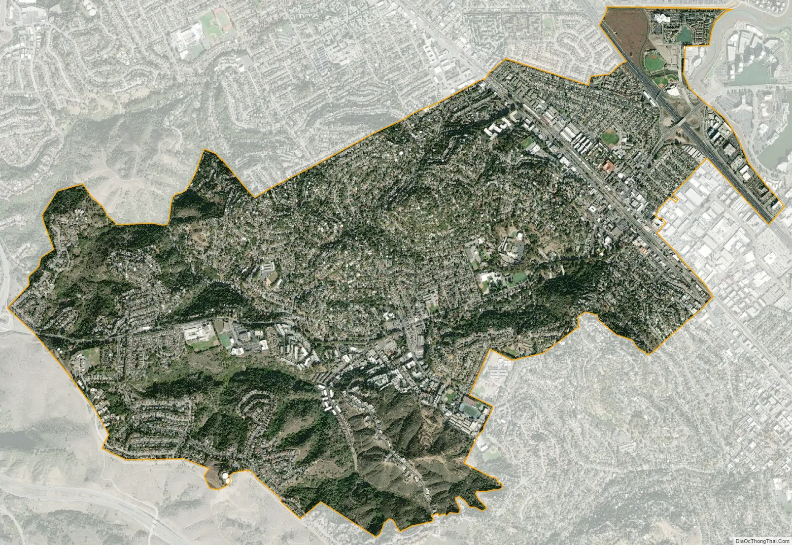
Belmont city Satellite Map
Geography
Belmont is located at 37°31′5″N 122°17′30″W / 37.51806°N 122.29167°W / 37.51806; -122.29167 (37.518087, -122.291673).
According to the United States Census Bureau, the city has a land area of 4.63 square miles (12.0 km) and 0.009 square miles (0.023 km) of water.
See also
Map of California State and its subdivision:- Alameda
- Alpine
- Amador
- Butte
- Calaveras
- Colusa
- Contra Costa
- Del Norte
- El Dorado
- Fresno
- Glenn
- Humboldt
- Imperial
- Inyo
- Kern
- Kings
- Lake
- Lassen
- Los Angeles
- Madera
- Marin
- Mariposa
- Mendocino
- Merced
- Modoc
- Mono
- Monterey
- Napa
- Nevada
- Orange
- Placer
- Plumas
- Riverside
- Sacramento
- San Benito
- San Bernardino
- San Diego
- San Francisco
- San Joaquin
- San Luis Obispo
- San Mateo
- Santa Barbara
- Santa Clara
- Santa Cruz
- Shasta
- Sierra
- Siskiyou
- Solano
- Sonoma
- Stanislaus
- Sutter
- Tehama
- Trinity
- Tulare
- Tuolumne
- Ventura
- Yolo
- Yuba
- Alabama
- Alaska
- Arizona
- Arkansas
- California
- Colorado
- Connecticut
- Delaware
- District of Columbia
- Florida
- Georgia
- Hawaii
- Idaho
- Illinois
- Indiana
- Iowa
- Kansas
- Kentucky
- Louisiana
- Maine
- Maryland
- Massachusetts
- Michigan
- Minnesota
- Mississippi
- Missouri
- Montana
- Nebraska
- Nevada
- New Hampshire
- New Jersey
- New Mexico
- New York
- North Carolina
- North Dakota
- Ohio
- Oklahoma
- Oregon
- Pennsylvania
- Rhode Island
- South Carolina
- South Dakota
- Tennessee
- Texas
- Utah
- Vermont
- Virginia
- Washington
- West Virginia
- Wisconsin
- Wyoming


