Calexico (/kəˈlɛksɪkoʊ/) is a city in southern Imperial County, California. Situated on the Mexican border, it is linked economically with the much larger city of Mexicali, the capital of the Mexican state of Baja California. It is about 122 miles (196 km) east of San Diego and 62 miles (100 km) west of Yuma, Arizona. Calexico, along with six other incorporated Imperial County cities, forms part of the larger populated area known as the Imperial Valley.
First explored by Europeans in the 18th century, Calexico began as a small tent community which was ultimately incorporated in 1908.
| Name: | Calexico city |
|---|---|
| LSAD Code: | 25 |
| LSAD Description: | city (suffix) |
| State: | California |
| County: | Imperial County |
| Incorporated: | April 16, 1908 |
| Elevation: | 3 ft (0.9 m) |
| Total Area: | 8.62 sq mi (22.32 km²) |
| Land Area: | 8.62 sq mi (22.32 km²) |
| Water Area: | 0.00 sq mi (0.00 km²) 0% |
| Total Population: | 38,633 |
| Population Density: | 4,482.31/sq mi (1,730.53/km²) |
| Area code: | 760/442 |
| FIPS code: | 0609710 |
| Website: | www.calexico.ca.gov |
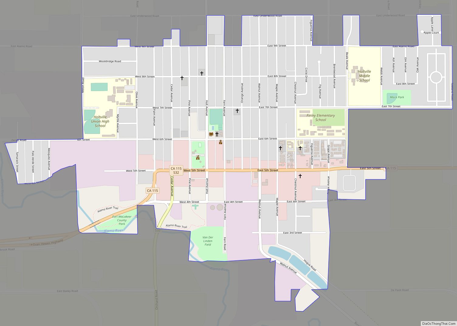
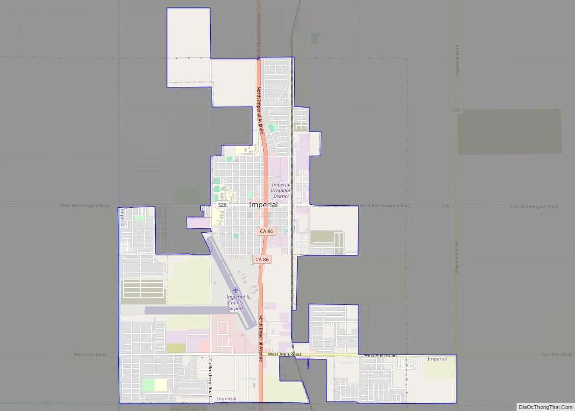
Online Interactive Map
Click on ![]() to view map in "full screen" mode.
to view map in "full screen" mode.
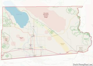
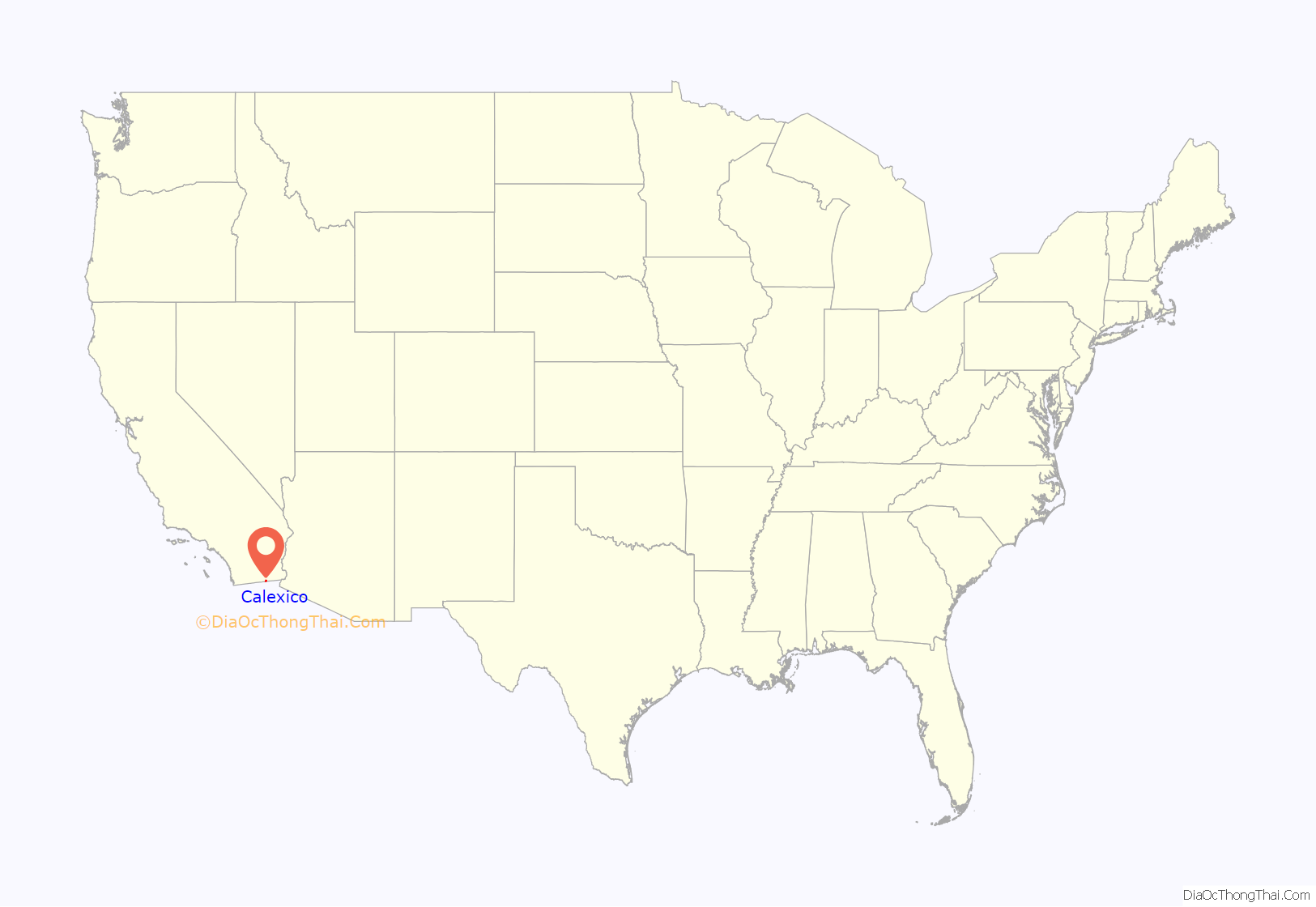
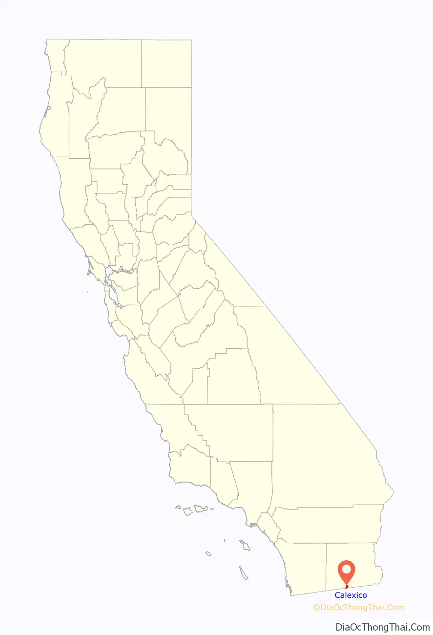
Calexico location map. Where is Calexico city?
History
The expedition of Spanish explorer Juan Bautista de Anza traveled through the area some time between 1775 and 1776, during Spanish rule. The trail through Calexico was designated as a historical route by the State of California.
Founding
Calexico began as a tent city of the Imperial Land Company; it was founded in 1899, and incorporated in 1908. The Imperial Land Company converted desert land into a fertile setting for year-round agriculture. The first post office in Calexico opened in 1902.
2010 earthquake
On April 4, 2010, the El Mayor earthquake caused moderate to heavy damage throughout Calexico and across the border in Mexicali. Measuring 7.2 Mw, the quake was centered about 40 miles (64 km) south of the U.S.–Mexico border near Mexicali. A state of emergency was declared and officials cordoned off First and Second streets between Paulin and Heber Avenues. Glass and debris littered the streets of downtown Calexico and two buildings partially collapsed. The Calexico water treatment plant sustained severe damage.
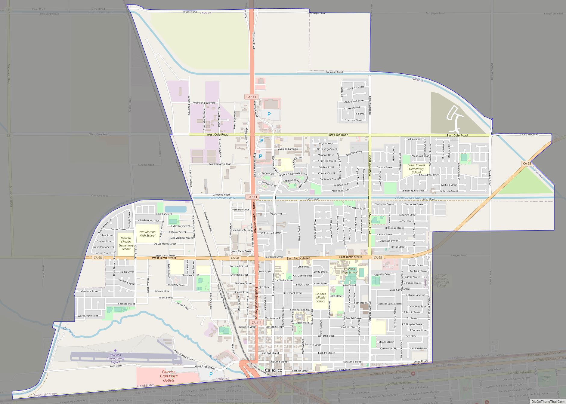
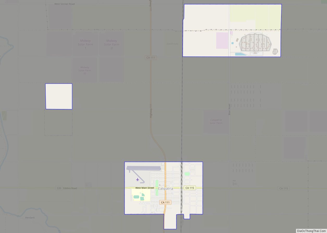
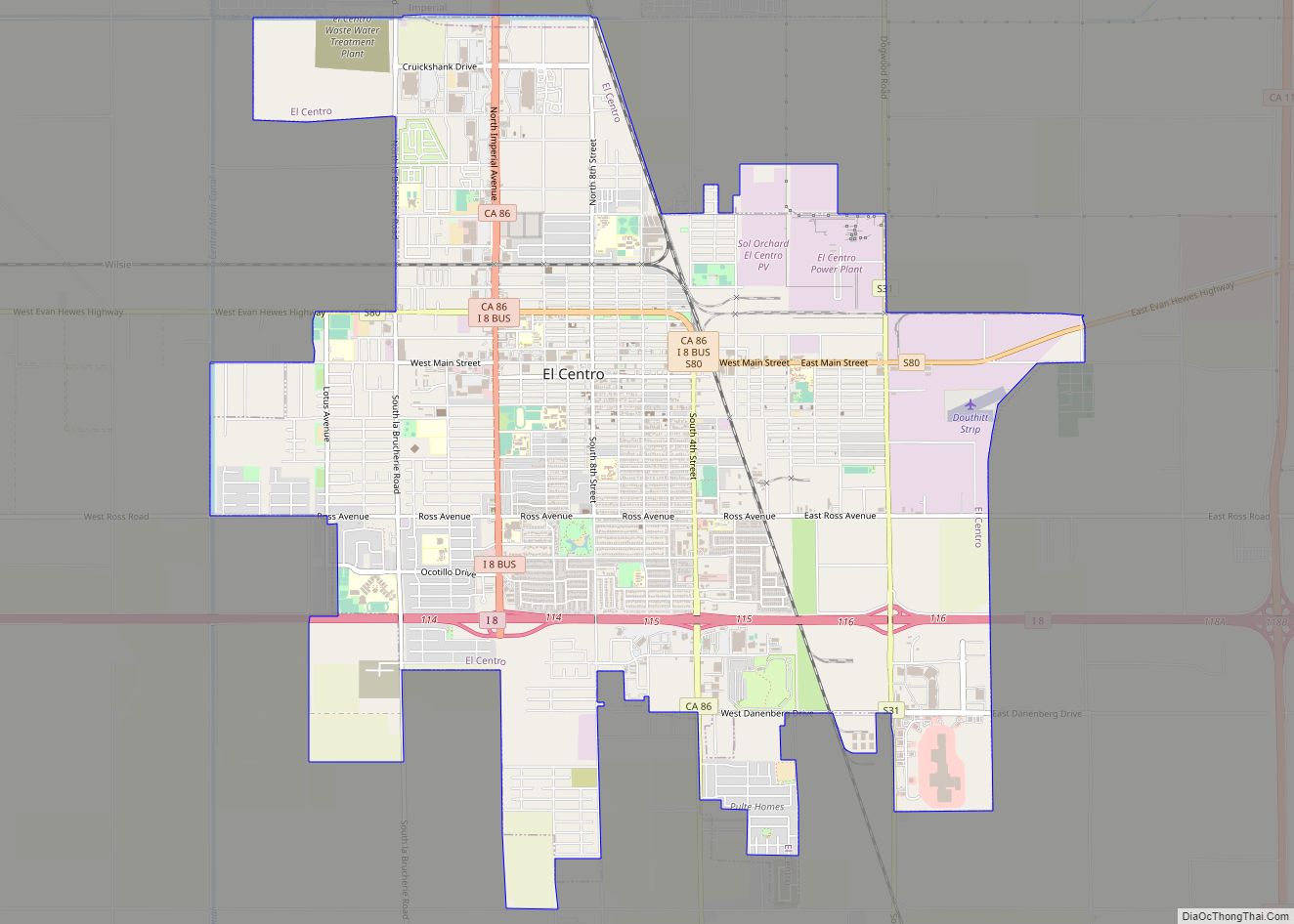
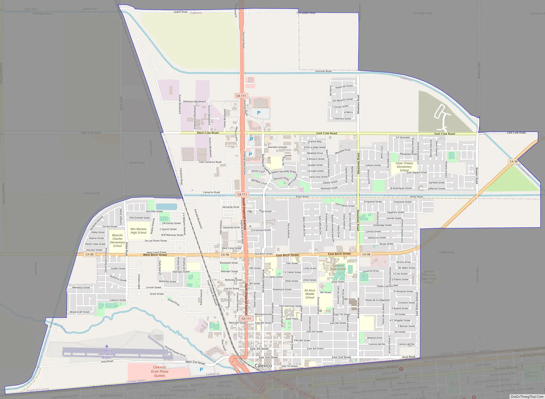
Calexico Road Map
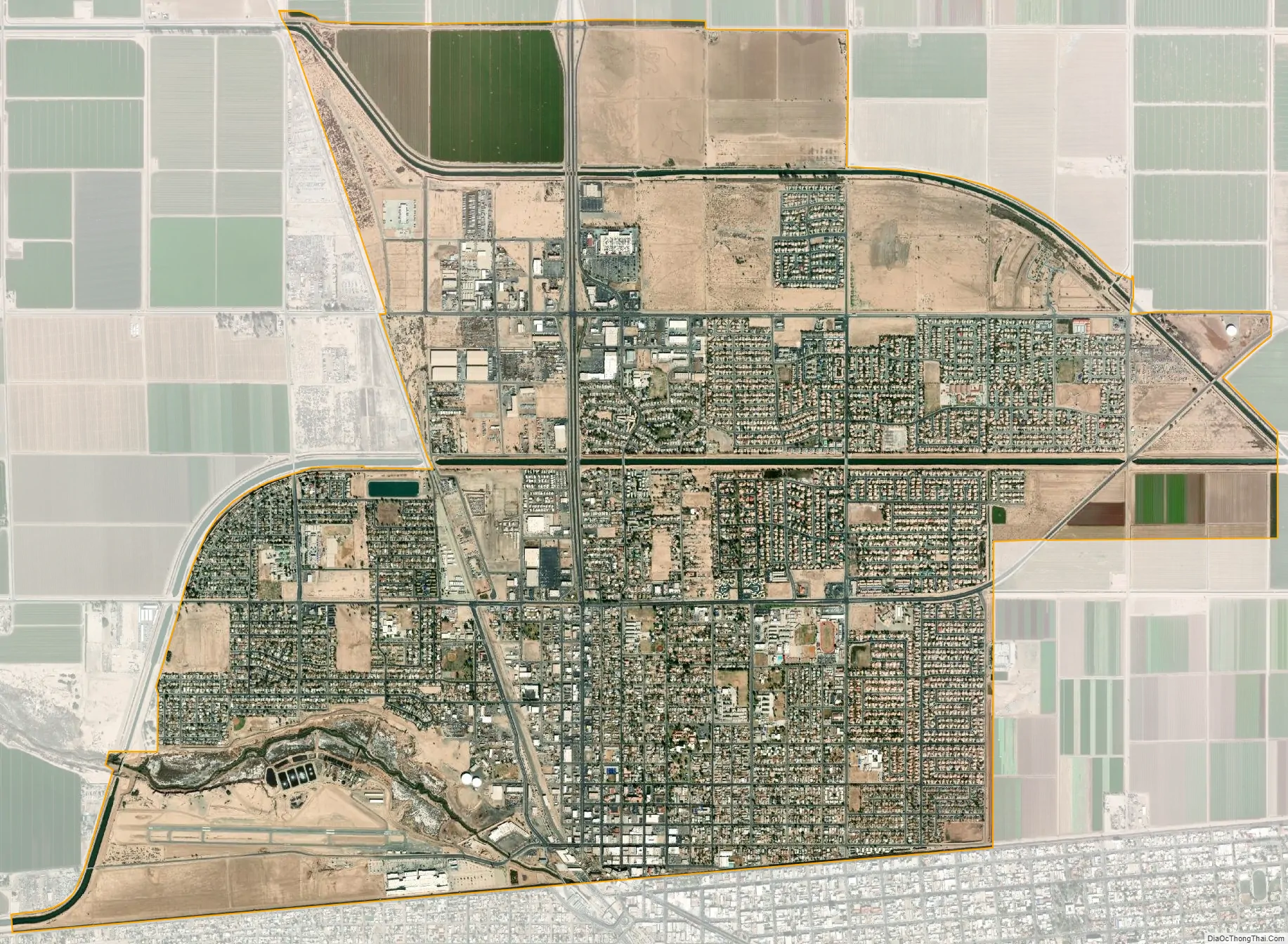
Calexico city Satellite Map
Geography
According to the United States Census Bureau, at the 2010 census, the city had a total area of 6.2 square miles (16 km), all land. Calexico is located 230 miles (370 km) southeast of Los Angeles, 125 miles (201 km) east of San Diego, 260 miles (420 km) west of Phoenix, and adjacent to Mexicali, Baja California, Mexico.
Calexico’s location provides easy overnight trucking access to all those transportation hubs plus the ports of Long Beach, California, and Ensenada, Baja California, Mexico.
Calexico is served by State Routes 98, 7 and 111, with direct connection to Interstate 8 (5 miles north) and State Route 86. There are eighteen regular and irregular common carriers for intrastate and interstate truck service to Calexico.
Rail service is provided by Union Pacific Railroad, and connects with the main line to Portland, Oregon; Rock Island, Illinois; Tucumcari, New Mexico; St. Louis, Missouri; and New Orleans, Louisiana.
Within city limits is Calexico International Airport, the U.S. Customs and Border Protection check-point for private passenger and air-cargo flights entering the U.S. from Mexico. Private charter services are also available there.
General aviation facilities and scheduled passenger and air-cargo service to San Diego International Airport, Bob Hope Airport in Burbank, and other points are available at Imperial County Airport (Boley Field), located 17 miles (27 km) north.
Climate
Calexico has a subtropical hot-desert climate (BWh), according to the Köppen climate classification system. In December 1932, the city experienced a rare snowfall. Rainfall usually occurs in the winter months of December, January and February. Although summer is extremely dry in Calexico, there are occasional thunderstorms. In 2008, during the months of July and August there were several heavy thunderstorms that let down large amounts of rain and hail. Summer rainfall in the city is infrequent. During winter time, Calexico is sometimes affected by winter rain showers.
The summer temperatures in Calexico are very hot, with most of those days having temperatures at or above 100 °F (38 °C). However, the hot desert climate seen in Calexico is actually not unusual for similar parallel cities such as, for example, Baghdad, Iraq.
The area has a large amount of sunshine year round due to its stable descending air and high pressure.
See also
Map of California State and its subdivision:- Alameda
- Alpine
- Amador
- Butte
- Calaveras
- Colusa
- Contra Costa
- Del Norte
- El Dorado
- Fresno
- Glenn
- Humboldt
- Imperial
- Inyo
- Kern
- Kings
- Lake
- Lassen
- Los Angeles
- Madera
- Marin
- Mariposa
- Mendocino
- Merced
- Modoc
- Mono
- Monterey
- Napa
- Nevada
- Orange
- Placer
- Plumas
- Riverside
- Sacramento
- San Benito
- San Bernardino
- San Diego
- San Francisco
- San Joaquin
- San Luis Obispo
- San Mateo
- Santa Barbara
- Santa Clara
- Santa Cruz
- Shasta
- Sierra
- Siskiyou
- Solano
- Sonoma
- Stanislaus
- Sutter
- Tehama
- Trinity
- Tulare
- Tuolumne
- Ventura
- Yolo
- Yuba
- Alabama
- Alaska
- Arizona
- Arkansas
- California
- Colorado
- Connecticut
- Delaware
- District of Columbia
- Florida
- Georgia
- Hawaii
- Idaho
- Illinois
- Indiana
- Iowa
- Kansas
- Kentucky
- Louisiana
- Maine
- Maryland
- Massachusetts
- Michigan
- Minnesota
- Mississippi
- Missouri
- Montana
- Nebraska
- Nevada
- New Hampshire
- New Jersey
- New Mexico
- New York
- North Carolina
- North Dakota
- Ohio
- Oklahoma
- Oregon
- Pennsylvania
- Rhode Island
- South Carolina
- South Dakota
- Tennessee
- Texas
- Utah
- Vermont
- Virginia
- Washington
- West Virginia
- Wisconsin
- Wyoming