Orange is a city located in northern Orange County, California. It is approximately 3 miles (4.8 km) north of the county seat, Santa Ana. Orange is unusual in this region because many of the homes in its Old Town District were built before 1920. While many other cities in the region demolished such houses in the 1960s, Orange decided to preserve them. The small city of Villa Park is surrounded by the city of Orange. The population of Orange was 139,911 as of 2020.
| Name: | Orange city |
|---|---|
| LSAD Code: | 25 |
| LSAD Description: | city (suffix) |
| State: | California |
| County: | Orange County |
| Founded: | 1869 |
| Incorporated: | April 6, 1888 |
| Elevation: | 190 ft (58 m) |
| Total Area: | 25.81 sq mi (66.86 km²) |
| Land Area: | 25.66 sq mi (66.47 km²) |
| Water Area: | 0.15 sq mi (0.39 km²) 1.75% |
| Total Population: | 139,911 |
| Population Density: | 5,452.49/sq mi (2,104.87/km²) |
| FIPS code: | 0653980 |
| Website: | cityoforange.org |
Online Interactive Map
Click on ![]() to view map in "full screen" mode.
to view map in "full screen" mode.
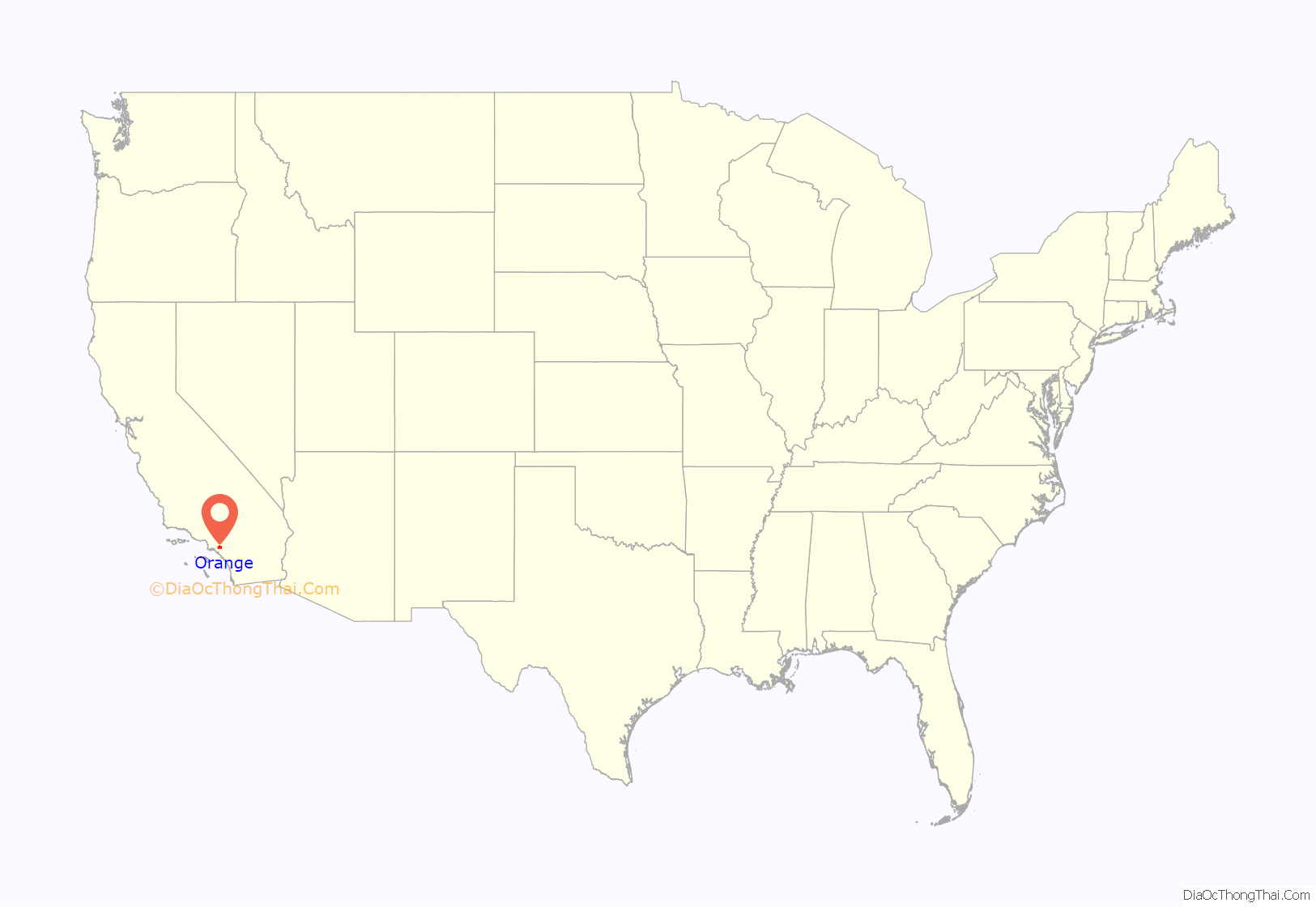
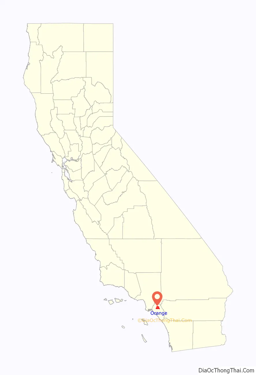
Orange location map. Where is Orange city?
History
Members of the Tongva and Juaneño/Luiseño ethnic group long inhabited this area. After the 1769 expedition of Gaspar de Portolá, an expedition out of San Blas, Nayarit, Mexico, led by Father Junípero Serra, named the area Vallejo de Santa Ana (Valley of Saint Anne). On November 1, 1776, Mission San Juan Capistrano became the area’s first permanent European settlement in Alta California, New Spain.
In 1801, the Spanish Empire granted 62,500 acres (253 km) to José Antonio Yorba, which he named Rancho San Antonio. Yorba’s great rancho included the lands where the cities of Olive, Orange, El Modena, Villa Park, Santa Ana, Tustin, Costa Mesa and Newport Beach stand today. Smaller ranchos evolved from this large rancho, including the Rancho Santiago de Santa Ana.
Don Juan Pablo Grijalva, a retired known Spanish soldier and the area’s first landowner, was granted permission in 1809 by the Spanish colonial government to establish a rancho in “the place of the Arroyo de Santiago“.
After the Mexican–American War, Alta California was ceded to the United States by Mexico with the signing of the Treaty of Guadalupe Hidalgo in 1848, and though many Californios lost titles to their lands in the aftermath, Grijalva’s descendants retained ownership through marriages to Anglo-Americans.
Since at least 1864, Los Angeles attorneys Alfred Chapman and Andrew Glassell, together and separately, held about 5,400 acres (22 km) along both sides of the Santiago Creek (Glassell also had a 4,000-acre (16 km) parcel where Costa Mesa is today). Water was the key factor for the location of their townsite (bordered by Almond Avenue on the south, Lemon Street on the west, Glassell Street on the east, and Maple Avenue on the north). Glassell needed a spot he could irrigate, bringing water down from the Santa Ana Canyon and the quality of the soil may have influenced his choice. Originally, the community was named Richland, but in 1873 Richland got a new name. In the book, Orange, The City ‘Round The Plaza by local historian Phil Brigandi, it states, “In 1873 the town had grown large enough to require a post office, so an application was sent to Washington. It was refused, however, as there was (and is) already a Richland, California in Sacramento County. Undaunted, the Richlanders proposed a new name – Orange.”
The small town was incorporated on April 6, 1888, under the general laws of the state of California. Orange was the only city in Orange County to be planned and built around a plaza, earning it the nickname Plaza City. Orange was the first developed town site to be served by the California Southern Railroad when the nation’s second transcontinental rail line reached Orange County.
The town experienced its first growth spurt during the last decade of the 19th century (as did many of the surrounding communities), thanks to ever-increasing demands for California-grown citrus fruits, a period some refer to as the “Orange Era”. Southern California’s real estate “boom” of 1886–1888, fueled by railroad rate wars, also contributed to a marked increase in population. Like most cities in Orange County, agriculture formed the backbone of the local economy, and growth thereafter was slow and steady until the 1950s, when a second real estate boom spurred development. Inspired by the development of a region-wide freeway system which connected Los Angeles’ urban center with outlying areas like Orange, large tracts of housing were developed from the 1950s to the early 1970s and continues today, albeit at a much slower pace, at the eastern edge of the city.
During the COVID-19 pandemic, the City of Orange approved the closure of North and South Glassell Street to open the Orange Plaza Paseo, where businesses located on each street could open socially-distant outdoor seating and patios. On December 8, 2020, the city council voted unanimously to continue to keep the street closed until state or local restrictions end or by council direction.
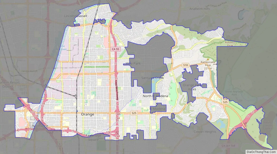
Orange Road Map
Orange city Satellite Map
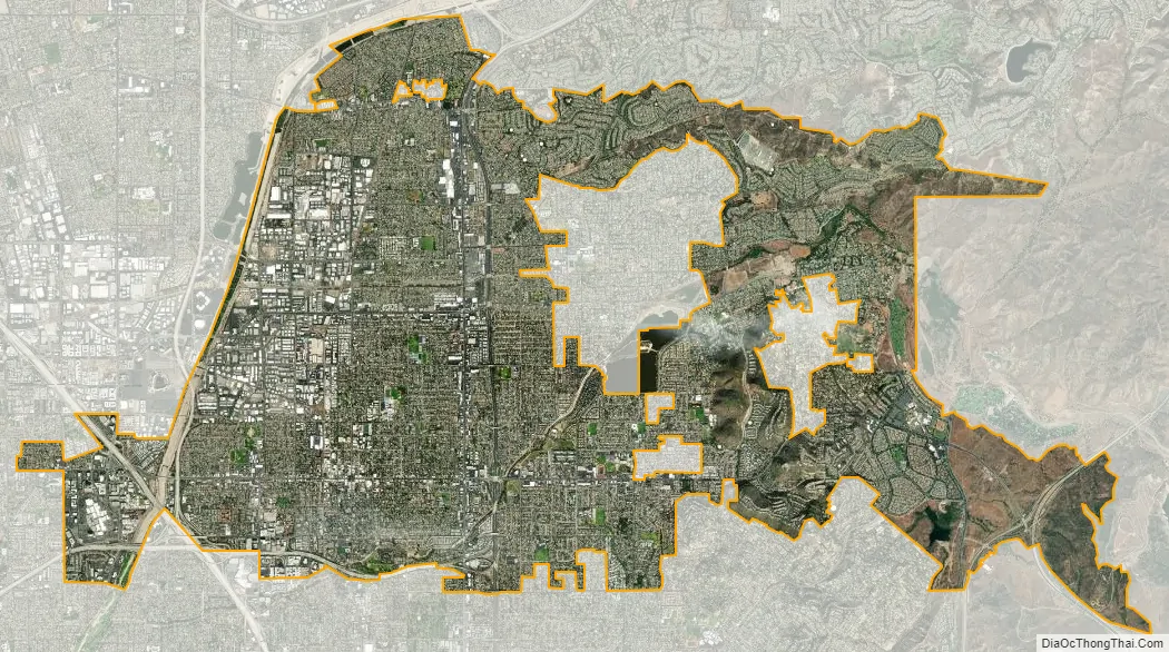
Geography
The city has a total area of 25.2 square miles (65 km), 24.8 square miles (64 km) of which is land and 0.4 square miles (1.0 km) of which is water. The total area is 1.75% water.
Climate
Southern California is well known for year-round pleasant weather:
- On average, the warmest month is August.
- The highest recorded temperature was 113 °F (45 °C) in June 2016.
- On average, the coolest month is December.
- The lowest recorded temperature was 25 °F (−4 °C) in December 1990.
- The maximum average precipitation occurs in January.
The period of April through November is warm and dry with average high temperatures of 74 to 84 °F (23 to 29 °C) and lows of 52 to 64 °F (11 to 18 °C). The period of November through March is somewhat rainy, as shown in the table to right.
The Orange County area is also subject to the phenomena typical of a microclimate. As such, the temperatures can vary as much as 18 °F (10 °C) between inland areas and the coast, with a temperature gradient of over 1 °F per mile (0.3 °C/km) from the coast inland. California also has a weather phenomenon called “June Gloom” or “May Gray”, which sometimes brings overcast or foggy skies in the morning on the coast, but usually gives way to sunny skies by noon, during late spring and early summer. The Orange County area averages 15 in (380 mm) of precipitation annually, which mainly occurs during the winter and spring (November thru April) with generally light rain showers, but sometimes as heavy rainfall and thunderstorms. Coastal Torrance receives slightly less rainfall, while the mountains receive slightly more. Snowfall is extremely rare in the city basin, but the mountains in the surrounding areas receive snowfall every winter.
Cityscape
Old Towne, Orange Historic District, a one square-mile around the original plaza, contains many of the original structures built in the period after the city’s incorporation. It is a vibrant commercial district, containing Orange County’s oldest operating bank and the oldest operating soda fountain. The Historic District was listed on the National Register of Historic Places in 1997, and is the largest National Register District in California. The Old Towne Preservation Association is a non-profit organization dedicated to maintaining the district.
Orange is unique among the region and the state in that it has the second largest concentration of historic buildings. A list of all of the buildings and sites in Orange appears in the National Register of Historic Places. The Civic Center was designed by Welton Becket in 1963.
Though Orange is now a fully developed city, there are still several unincorporated portions of land within the city that have not yet been annexed, including El Modena and North El Modena, Orange Park Acres, and Olive.
See also
Map of California State and its subdivision:- Alameda
- Alpine
- Amador
- Butte
- Calaveras
- Colusa
- Contra Costa
- Del Norte
- El Dorado
- Fresno
- Glenn
- Humboldt
- Imperial
- Inyo
- Kern
- Kings
- Lake
- Lassen
- Los Angeles
- Madera
- Marin
- Mariposa
- Mendocino
- Merced
- Modoc
- Mono
- Monterey
- Napa
- Nevada
- Orange
- Placer
- Plumas
- Riverside
- Sacramento
- San Benito
- San Bernardino
- San Diego
- San Francisco
- San Joaquin
- San Luis Obispo
- San Mateo
- Santa Barbara
- Santa Clara
- Santa Cruz
- Shasta
- Sierra
- Siskiyou
- Solano
- Sonoma
- Stanislaus
- Sutter
- Tehama
- Trinity
- Tulare
- Tuolumne
- Ventura
- Yolo
- Yuba
- Alabama
- Alaska
- Arizona
- Arkansas
- California
- Colorado
- Connecticut
- Delaware
- District of Columbia
- Florida
- Georgia
- Hawaii
- Idaho
- Illinois
- Indiana
- Iowa
- Kansas
- Kentucky
- Louisiana
- Maine
- Maryland
- Massachusetts
- Michigan
- Minnesota
- Mississippi
- Missouri
- Montana
- Nebraska
- Nevada
- New Hampshire
- New Jersey
- New Mexico
- New York
- North Carolina
- North Dakota
- Ohio
- Oklahoma
- Oregon
- Pennsylvania
- Rhode Island
- South Carolina
- South Dakota
- Tennessee
- Texas
- Utah
- Vermont
- Virginia
- Washington
- West Virginia
- Wisconsin
- Wyoming


