Mission Canyon is a census-designated place and an unincorporated suburb of Santa Barbara, California, in Santa Barbara County, United States. The population was 2,381 at the 2010 census, down from 2,610 at the 2000 census.
Mission Canyon is directly north — on the mountain side — of the city of Santa Barbara, and derives its name from the Mission Santa Barbara which is built between Mission Canyon and the center of the city. The canyon itself is one of the most dramatic in the Santa Ynez Mountains with the locally highest peak, La Cumbre Peak 3,988 ft (1,216 m) at the top of the watershed, flanked by Cathedral Peak 3,336 ft (1,017 m) and Arlington Peak 3,258 ft (993 m) to the west, Pine Lookout and Rock Garden to the east, and rugged sandstone formations partially covered with chaparral on both sides of the creek.
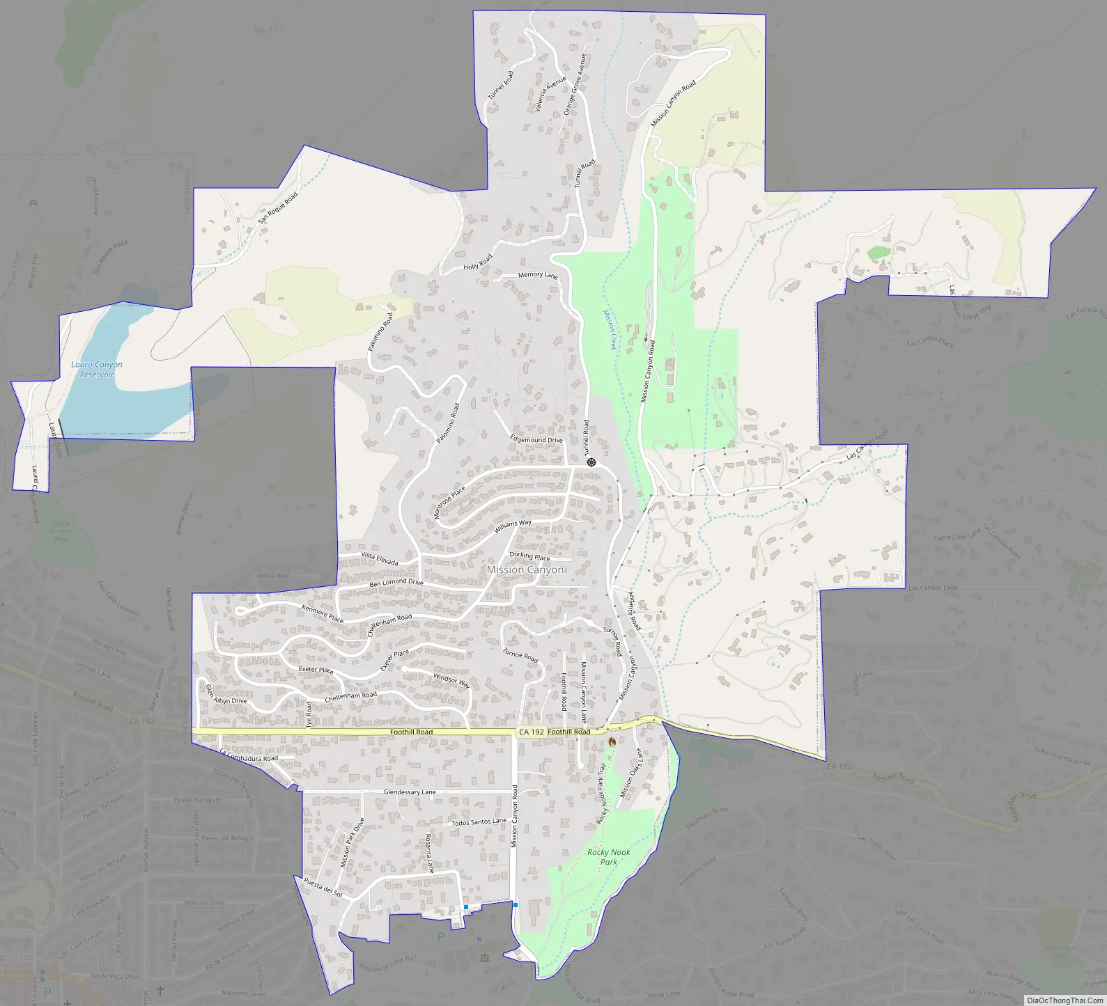
State Route 192 (Foothill Road) bisects the southern portion of the area, running from east to west, and Mission Canyon Road passes through the area from north to south. Another major north-south artery is Tunnel Road, which leads to the trailhead for several popular hiking trails that originates from an area of medium density and semi-rural development at the canyon’s northern extremity, and extends into Los Padres National Forest in the Santa Ynez Mountains.
The Santa Barbara Botanic Garden is located in Mission Canyon.
| Name: | Mission Canyon CDP |
|---|---|
| LSAD Code: | 57 |
| LSAD Description: | CDP (suffix) |
| State: | California |
| County: | Santa Barbara County |
| Elevation: | 633 ft (193 m) |
| Total Area: | 1.547 sq mi (4.008 km²) |
| Land Area: | 1.517 sq mi (3.930 km²) |
| Water Area: | 0.030 sq mi (0.078 km²) 1.94% |
| Total Population: | 2,381 |
| Population Density: | 1,500/sq mi (590/km²) |
| ZIP code: | 93105 |
| Area code: | 805 |
| FIPS code: | 0648147 |
| GNISfeature ID: | 1853400 |
Online Interactive Map
Click on ![]() to view map in "full screen" mode.
to view map in "full screen" mode.
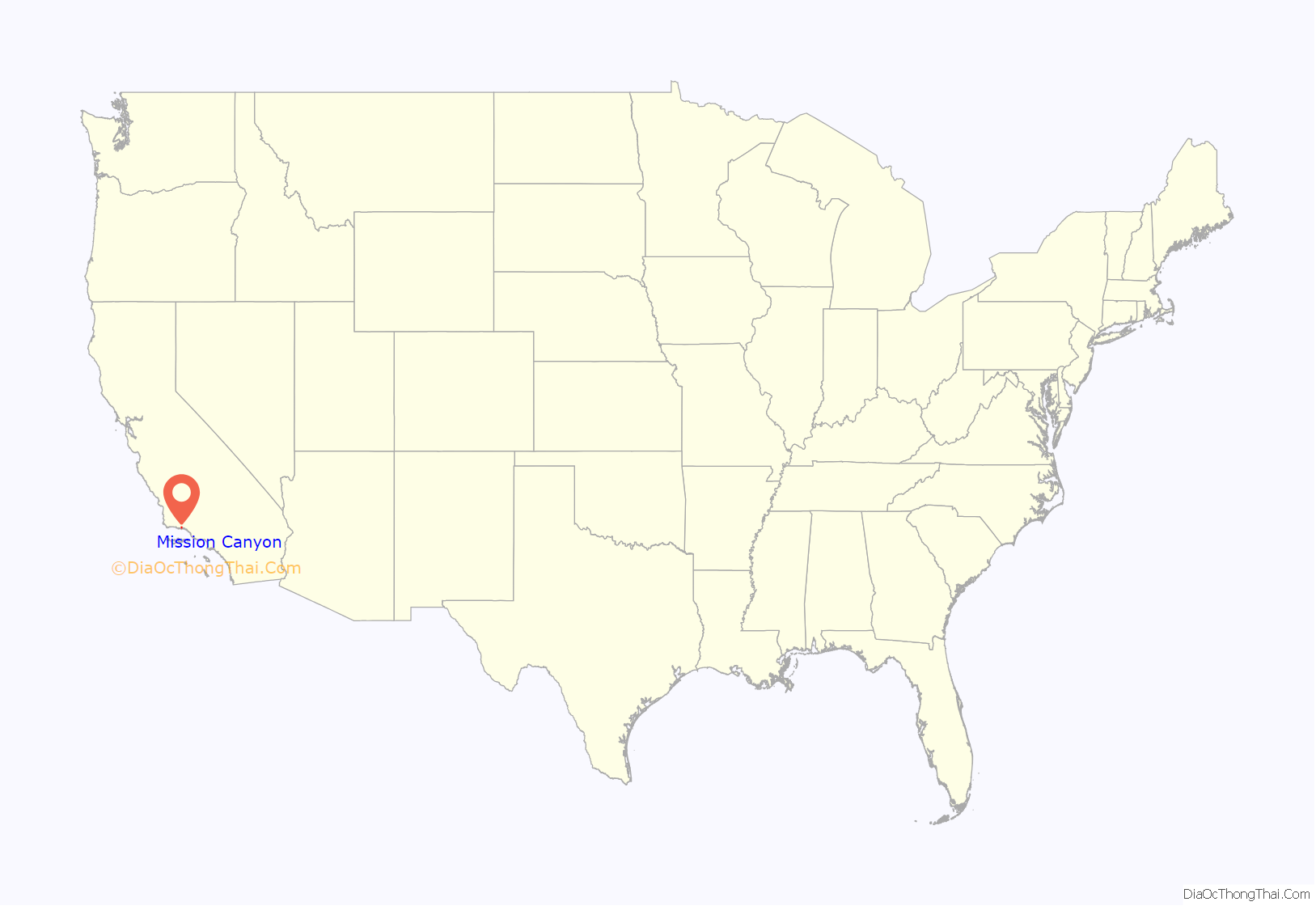
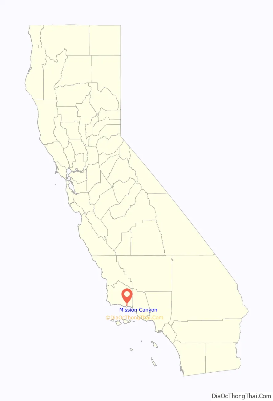
Mission Canyon location map. Where is Mission Canyon CDP?
Mission Canyon Road Map
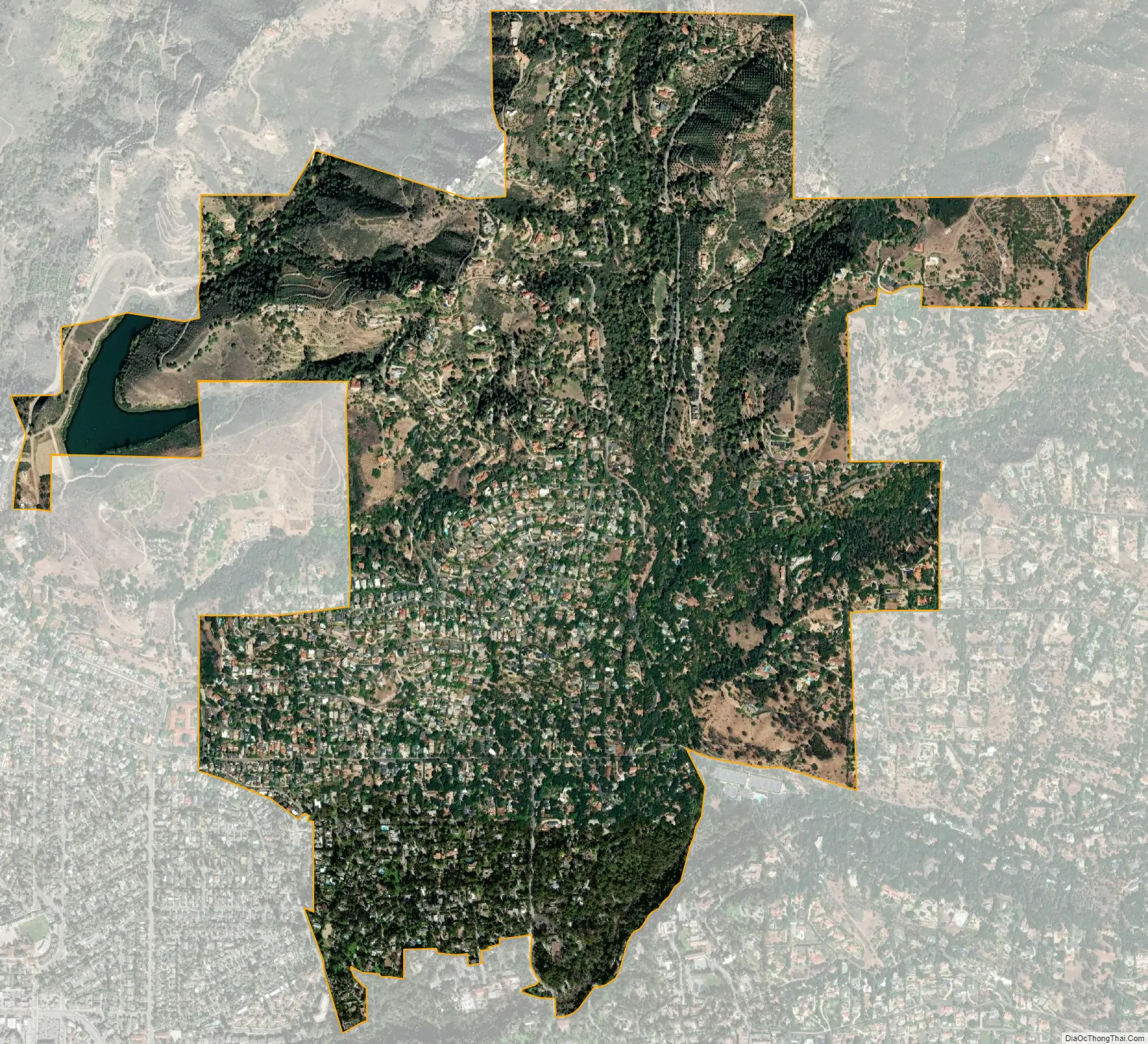
Mission Canyon city Satellite Map
Geography
The approximate center of Mission Canyon is located at 34°26′59″N 119°42′59″W / 34.44972°N 119.71639°W / 34.44972; -119.71639 (34.449797, -119.716315). Situated along the southern facing slopes of the Santa Ynez Mountains, Mission Canyon measures some 1,122 acres comprising an estimated 1,141 parcels primarily consisting of single-family residential development, recreational, open space, and agricultural land uses; but however lacks any commercial or industrial development. Non residential features include the Santa Barbara Botanic Garden, Rocky Nook County Park, the Santa Barbara Woman’s Club, and the Santa Barbara County Fire Department Fire Station 15. The topography of the neighborhood varies from relatively flat areas located south of Foothill Road to greater slopes north of Foothill Road, ranging in elevations from approximately 300 ft (91 m) to just over 1,000 ft (305 m) above sea level.
According to the United States Census Bureau, the CDP has a total area of 1.5 square miles (3.9 km), of which 1.5 square miles (3.9 km) are land and 0.03 square miles (0.078 km) (1.94%) is water.
Climate
This region experiences warm (but not hot) and dry summers, with no average monthly temperatures above 71.6 °F. According to the Köppen Climate Classification system, Mission Canyon has a warm-summer Mediterranean climate, abbreviated “Csb” on climate maps.
See also
Map of California State and its subdivision:- Alameda
- Alpine
- Amador
- Butte
- Calaveras
- Colusa
- Contra Costa
- Del Norte
- El Dorado
- Fresno
- Glenn
- Humboldt
- Imperial
- Inyo
- Kern
- Kings
- Lake
- Lassen
- Los Angeles
- Madera
- Marin
- Mariposa
- Mendocino
- Merced
- Modoc
- Mono
- Monterey
- Napa
- Nevada
- Orange
- Placer
- Plumas
- Riverside
- Sacramento
- San Benito
- San Bernardino
- San Diego
- San Francisco
- San Joaquin
- San Luis Obispo
- San Mateo
- Santa Barbara
- Santa Clara
- Santa Cruz
- Shasta
- Sierra
- Siskiyou
- Solano
- Sonoma
- Stanislaus
- Sutter
- Tehama
- Trinity
- Tulare
- Tuolumne
- Ventura
- Yolo
- Yuba
- Alabama
- Alaska
- Arizona
- Arkansas
- California
- Colorado
- Connecticut
- Delaware
- District of Columbia
- Florida
- Georgia
- Hawaii
- Idaho
- Illinois
- Indiana
- Iowa
- Kansas
- Kentucky
- Louisiana
- Maine
- Maryland
- Massachusetts
- Michigan
- Minnesota
- Mississippi
- Missouri
- Montana
- Nebraska
- Nevada
- New Hampshire
- New Jersey
- New Mexico
- New York
- North Carolina
- North Dakota
- Ohio
- Oklahoma
- Oregon
- Pennsylvania
- Rhode Island
- South Carolina
- South Dakota
- Tennessee
- Texas
- Utah
- Vermont
- Virginia
- Washington
- West Virginia
- Wisconsin
- Wyoming


