Montclair is a city in the Pomona Valley, in southwestern San Bernardino County, California. The population was 36,664 in the 2010 United States Census.
| Name: | Montclair city |
|---|---|
| LSAD Code: | 25 |
| LSAD Description: | city (suffix) |
| State: | California |
| County: | San Bernardino County |
| Incorporated: | April 25, 1956 |
| Elevation: | 1,066 ft (325 m) |
| Total Area: | 5.53 sq mi (14.33 km²) |
| Land Area: | 5.53 sq mi (14.33 km²) |
| Water Area: | 0.00 sq mi (0.00 km²) 0% |
| Total Population: | 36,664 |
| Population Density: | 7,246.97/sq mi (2,798.02/km²) |
| ZIP code: | 91763 |
| Area code: | 909 |
| FIPS code: | 0648788 |
| Website: | www.cityofmontclair.org |
Online Interactive Map
Click on ![]() to view map in "full screen" mode.
to view map in "full screen" mode.
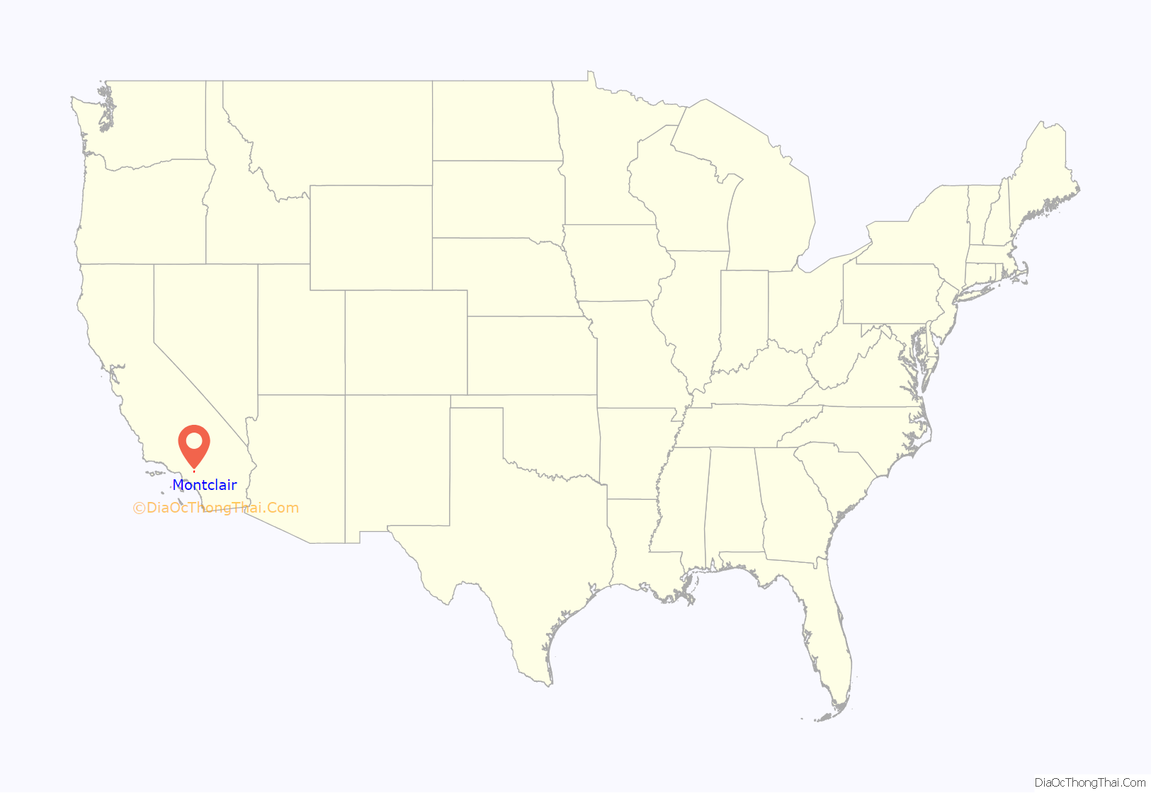
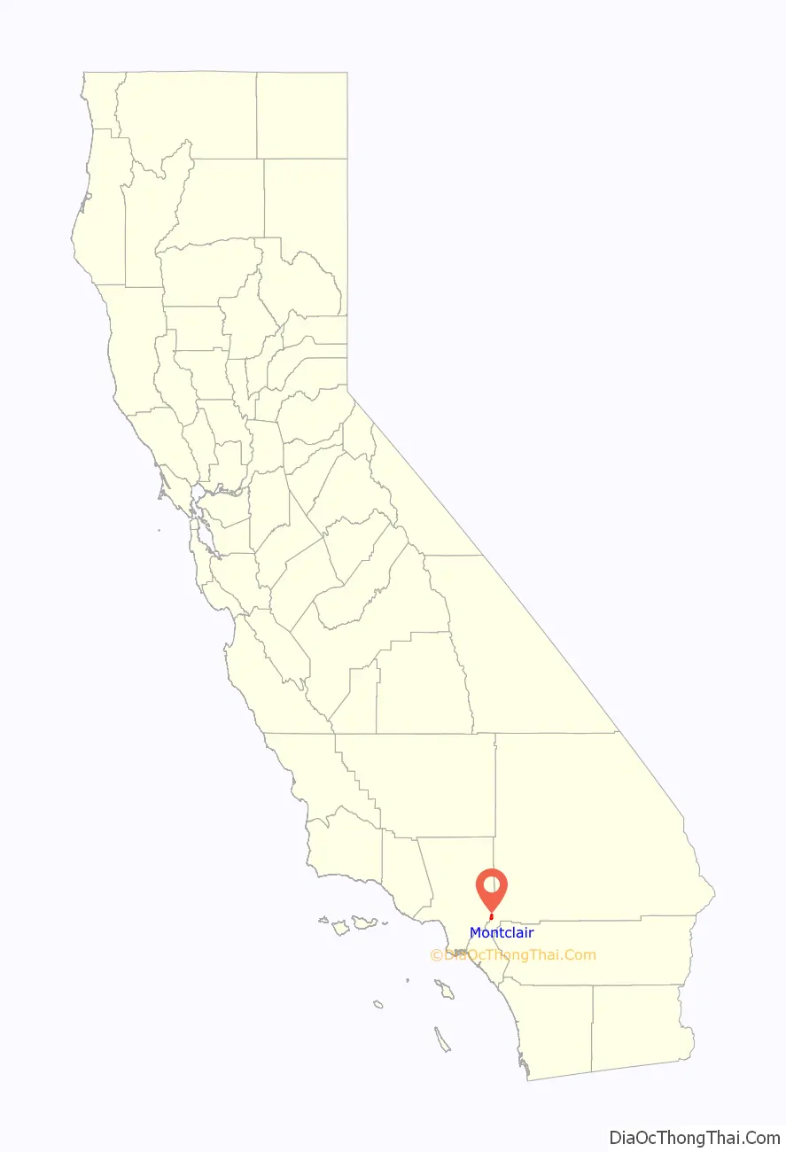
Montclair location map. Where is Montclair city?
History
The earliest known inhabitants of the area were from the Serrano tribe of Native Americans. The Serrano established their village along a creek named Arroyo de los Alisos, now named San Antonio Creek, which flowed along a route that is now Mills Avenue, the western border of the city.
In 1897, a “Township of Marquette” was founded within the borders of the modern city of Montclair. In 1900, a 1,000 acres (4.0 km) tract of land was surveyed and named “Monte Vista”. A small settlement to the south of Monte Vista was established in 1907 and named “Narod”. Throughout the first half of the 20th century, the settlement was largely devoted to citrus orchards. The Monte Vista tract experienced growth in residential development after the Second World War, and the tract was incorporated as the city of Monte Vista on April 25, 1956. Due to conflict with the Post Office, which refused to open an office in Monte Vista due to a name conflict with a community in Northern California, the city was renamed Montclair on April 8, 1958.
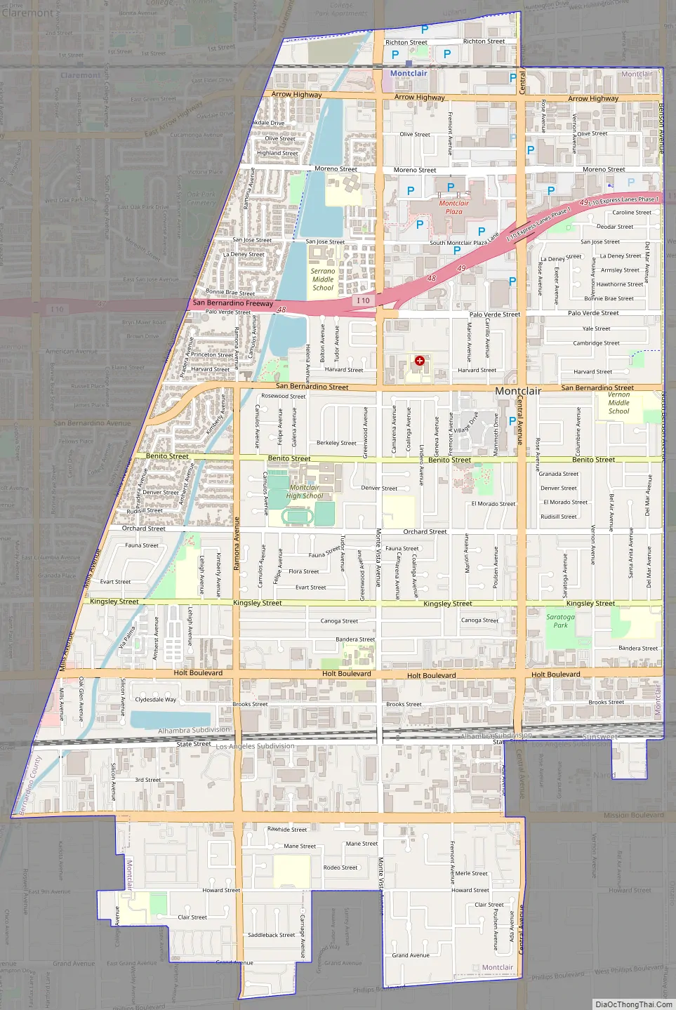
Montclair Road Map
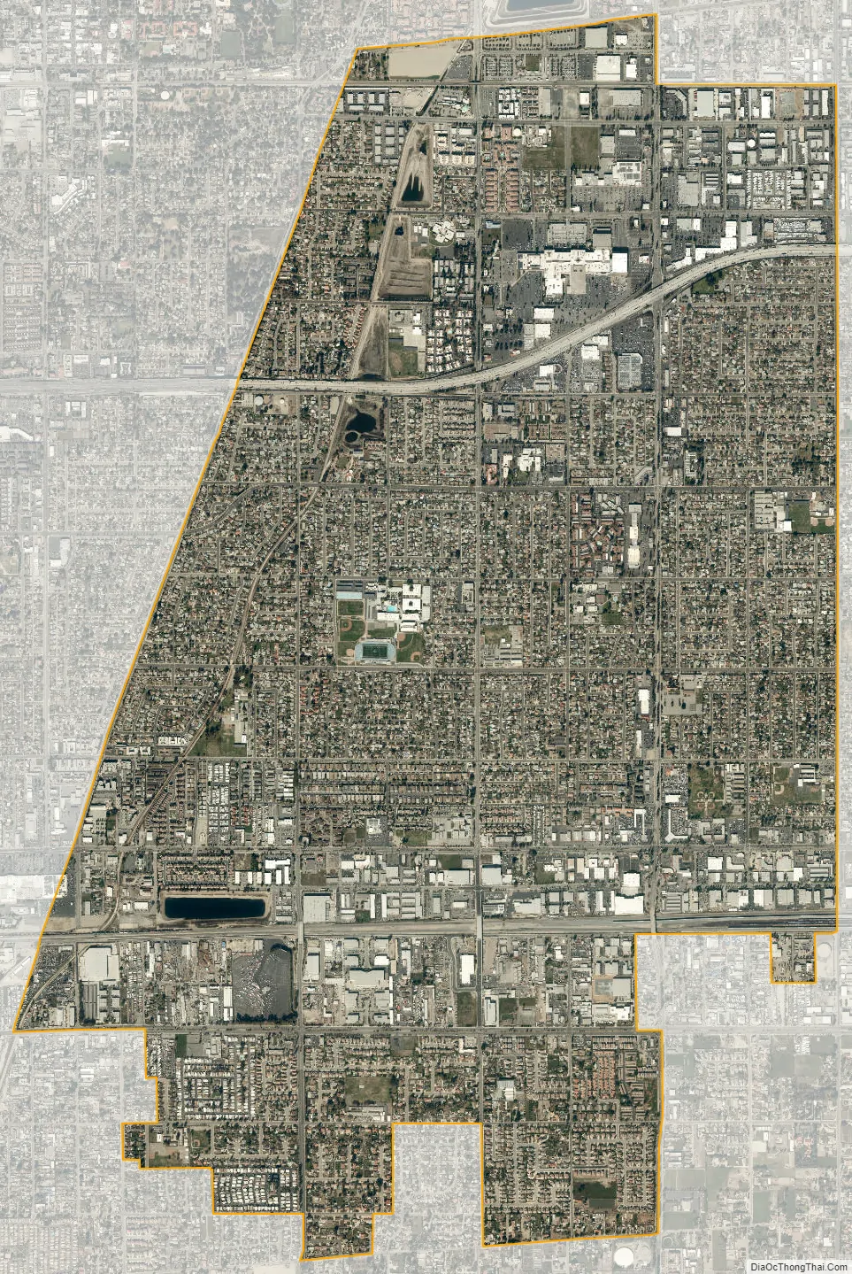
Montclair city Satellite Map
Geography
Montclair is bordered by Pomona to the west, Claremont and Upland to the north, Ontario to the east, and Chino to the south. Montclair, which is on the border with Los Angeles County, is in the Pomona Valley and part of the Inland Empire region.
The San Bernardino Freeway (I-10) runs through the northern part of the city.
See also
Map of California State and its subdivision:- Alameda
- Alpine
- Amador
- Butte
- Calaveras
- Colusa
- Contra Costa
- Del Norte
- El Dorado
- Fresno
- Glenn
- Humboldt
- Imperial
- Inyo
- Kern
- Kings
- Lake
- Lassen
- Los Angeles
- Madera
- Marin
- Mariposa
- Mendocino
- Merced
- Modoc
- Mono
- Monterey
- Napa
- Nevada
- Orange
- Placer
- Plumas
- Riverside
- Sacramento
- San Benito
- San Bernardino
- San Diego
- San Francisco
- San Joaquin
- San Luis Obispo
- San Mateo
- Santa Barbara
- Santa Clara
- Santa Cruz
- Shasta
- Sierra
- Siskiyou
- Solano
- Sonoma
- Stanislaus
- Sutter
- Tehama
- Trinity
- Tulare
- Tuolumne
- Ventura
- Yolo
- Yuba
- Alabama
- Alaska
- Arizona
- Arkansas
- California
- Colorado
- Connecticut
- Delaware
- District of Columbia
- Florida
- Georgia
- Hawaii
- Idaho
- Illinois
- Indiana
- Iowa
- Kansas
- Kentucky
- Louisiana
- Maine
- Maryland
- Massachusetts
- Michigan
- Minnesota
- Mississippi
- Missouri
- Montana
- Nebraska
- Nevada
- New Hampshire
- New Jersey
- New Mexico
- New York
- North Carolina
- North Dakota
- Ohio
- Oklahoma
- Oregon
- Pennsylvania
- Rhode Island
- South Carolina
- South Dakota
- Tennessee
- Texas
- Utah
- Vermont
- Virginia
- Washington
- West Virginia
- Wisconsin
- Wyoming


