Newark is a city in Alameda County, California, United States. It was incorporated as a city in September 1955. Newark is an enclave, surrounded by the city of Fremont. The three cities of Newark, Fremont, and Union City make up the Tri-City Area. Newark’s population was 47,529 at the 2020 census making it the third largest city in the US named Newark after Newark, New Jersey, and Newark, Ohio.
| Name: | Newark city |
|---|---|
| LSAD Code: | 25 |
| LSAD Description: | city (suffix) |
| State: | California |
| County: | Alameda County |
| Incorporated: | September 22, 1955 |
| Elevation: | 20 ft (6 m) |
| Total Area: | 13.94 sq mi (36.11 km²) |
| Land Area: | 13.92 sq mi (36.05 km²) |
| Water Area: | 0.02 sq mi (0.06 km²) 0.17% |
| Total Population: | 47,529 |
| Population Density: | 3,400/sq mi (1,300/km²) |
| ZIP code: | 94560 |
| Area code: | 510, 341 |
| FIPS code: | 0650916 |
| Website: | www.ci.newark.ca.us |
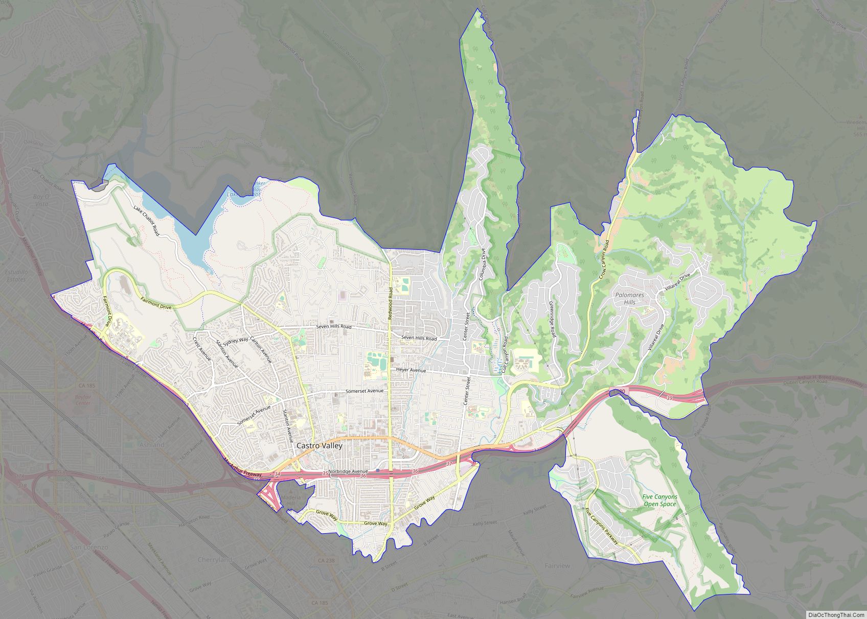
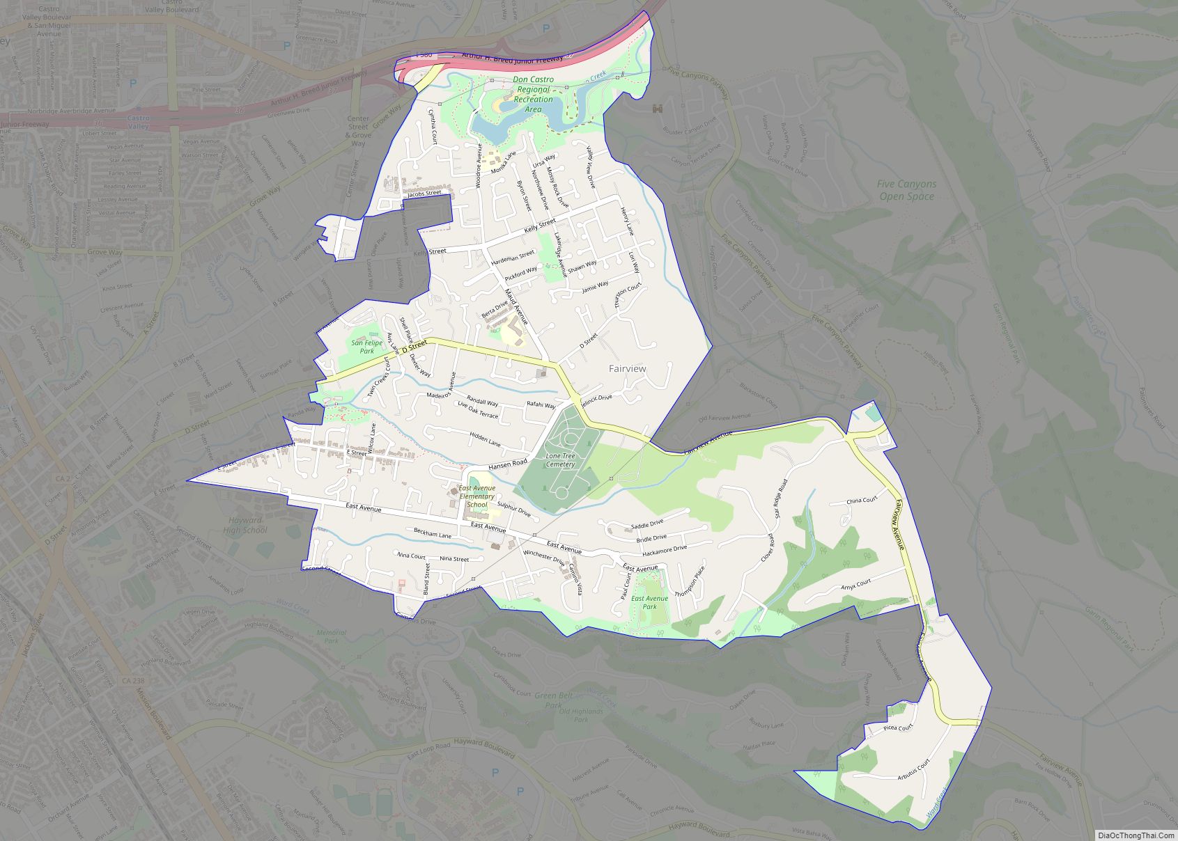
Online Interactive Map
Click on ![]() to view map in "full screen" mode.
to view map in "full screen" mode.
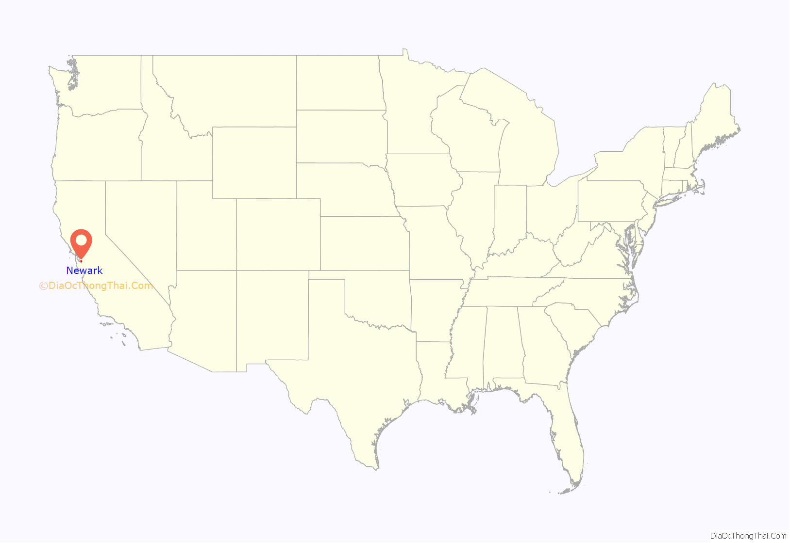
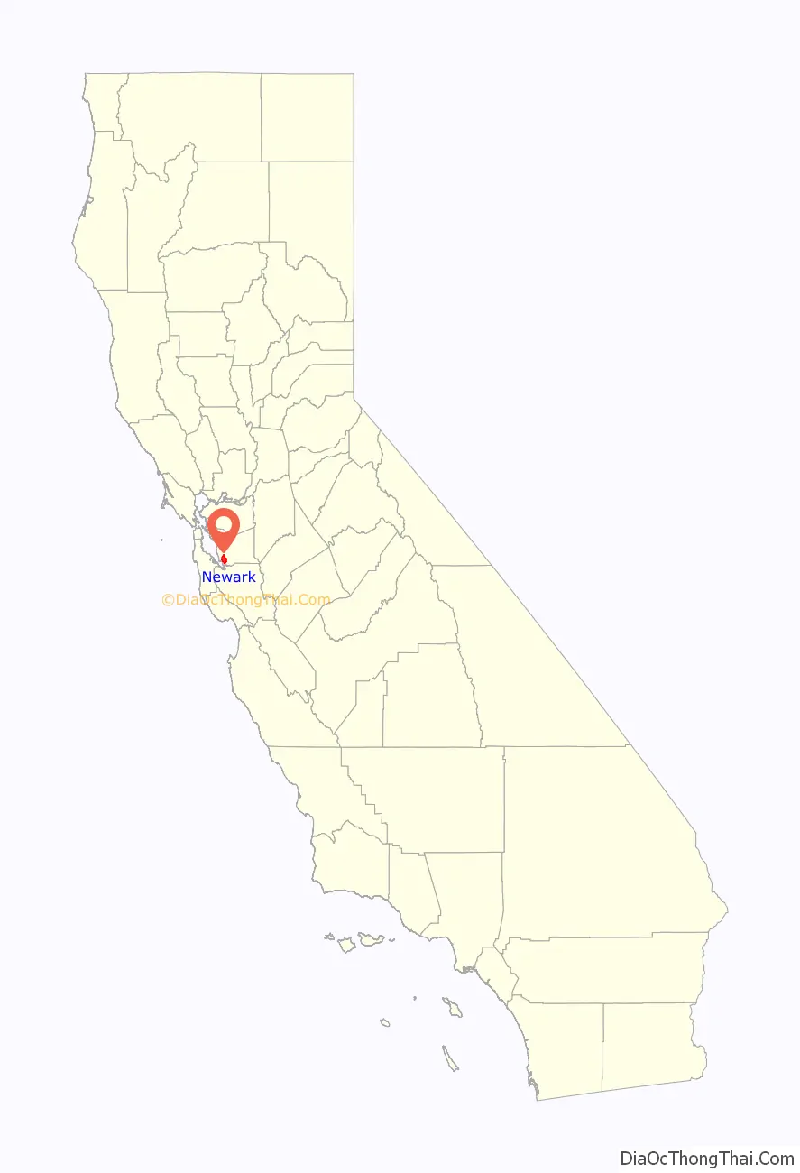
Newark location map. Where is Newark city?
History
Newark was named after Newark Castle, Port Glasgow, in Scotland by J. Barr Robertson.
Before it was settled by Europeans, Newark was home to the Ohlone Native American Peoples. The first European settlement in the area was by the Spanish missionaries of Mission San José, whose territory covered much of the present-day cities of Newark, Fremont, and Union City. In 1878 land belonging to Washington Township of Alameda County was purchased by The Pacific Land Investment Company and subdivided to form the town of Newark.
Newark was incorporated in September 1955.
Newark Road Map

Newark city Satellite Map

Geography
The western edge of the city is near the southern end of the San Francisco Bay. State Route 84 runs through the city, and continues as the Dumbarton Bridge to cross the San Francisco Bay to reach Menlo Park. Interstate 880 serves as the eastern boundary with Fremont.
According to the United States Census Bureau, the city has a total area of 13.9 square miles (36 km), of which 13.9 square miles (36 km) is land and 0.02 square miles (0.052 km), comprising 0.17%, is water.
See also
Map of California State and its subdivision:- Alameda
- Alpine
- Amador
- Butte
- Calaveras
- Colusa
- Contra Costa
- Del Norte
- El Dorado
- Fresno
- Glenn
- Humboldt
- Imperial
- Inyo
- Kern
- Kings
- Lake
- Lassen
- Los Angeles
- Madera
- Marin
- Mariposa
- Mendocino
- Merced
- Modoc
- Mono
- Monterey
- Napa
- Nevada
- Orange
- Placer
- Plumas
- Riverside
- Sacramento
- San Benito
- San Bernardino
- San Diego
- San Francisco
- San Joaquin
- San Luis Obispo
- San Mateo
- Santa Barbara
- Santa Clara
- Santa Cruz
- Shasta
- Sierra
- Siskiyou
- Solano
- Sonoma
- Stanislaus
- Sutter
- Tehama
- Trinity
- Tulare
- Tuolumne
- Ventura
- Yolo
- Yuba
- Alabama
- Alaska
- Arizona
- Arkansas
- California
- Colorado
- Connecticut
- Delaware
- District of Columbia
- Florida
- Georgia
- Hawaii
- Idaho
- Illinois
- Indiana
- Iowa
- Kansas
- Kentucky
- Louisiana
- Maine
- Maryland
- Massachusetts
- Michigan
- Minnesota
- Mississippi
- Missouri
- Montana
- Nebraska
- Nevada
- New Hampshire
- New Jersey
- New Mexico
- New York
- North Carolina
- North Dakota
- Ohio
- Oklahoma
- Oregon
- Pennsylvania
- Rhode Island
- South Carolina
- South Dakota
- Tennessee
- Texas
- Utah
- Vermont
- Virginia
- Washington
- West Virginia
- Wisconsin
- Wyoming