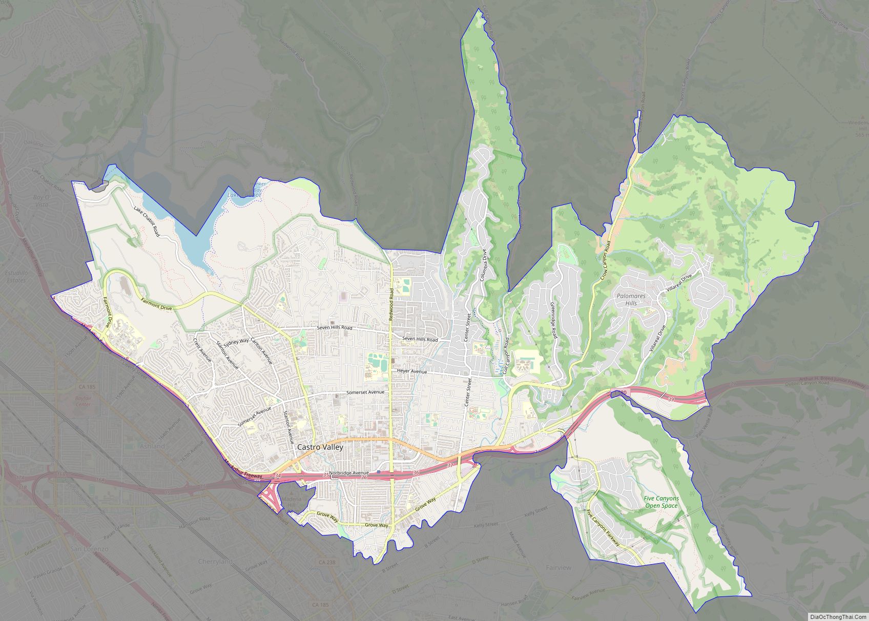
Union City is a city in the San Francisco Bay Area in Alameda County, California, United States, located approximately 19 miles (31 km) south of Oakland, 30 miles (48 km) from San Francisco, and 20 miles (32 km) north of San Jose. Incorporated in 1959, combining the communities of Alvarado and Decoto, the city has 70,000 residents and a very diverse population. Alvarado is a California Historical Landmark (#503). The city celebrated its 50th anniversary in 2009. The city, along with the cities of Fremont and Newark, makes up the Tri-City Area to the south. The city of Hayward surrounds the city to the north.
| Name: | Union City city |
|---|---|
| LSAD Code: | 25 |
| LSAD Description: | city (suffix) |
| State: | California |
| County: | Alameda County |
| Incorporated: | January 26, 1959 |
| Total Area: | 19.22 sq mi (49.77 km²) |
| Land Area: | 19.22 sq mi (49.77 km²) |
| Water Area: | 0.00 sq mi (0.00 km²) |
| Total Population: | 70,143 |
| Population Density: | 3,600/sq mi (1,400/km²) |
| ZIP code: | 94587 |
| Area code: | 510, 341 |
| FIPS code: | 0681204 |
| Website: | https://www.unioncity.org/ |
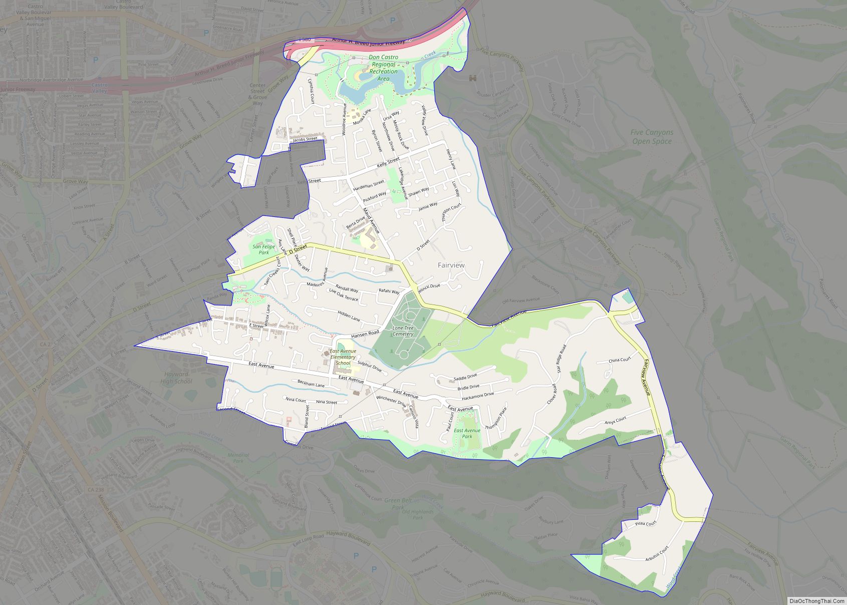
Online Interactive Map
Click on ![]() to view map in "full screen" mode.
to view map in "full screen" mode.
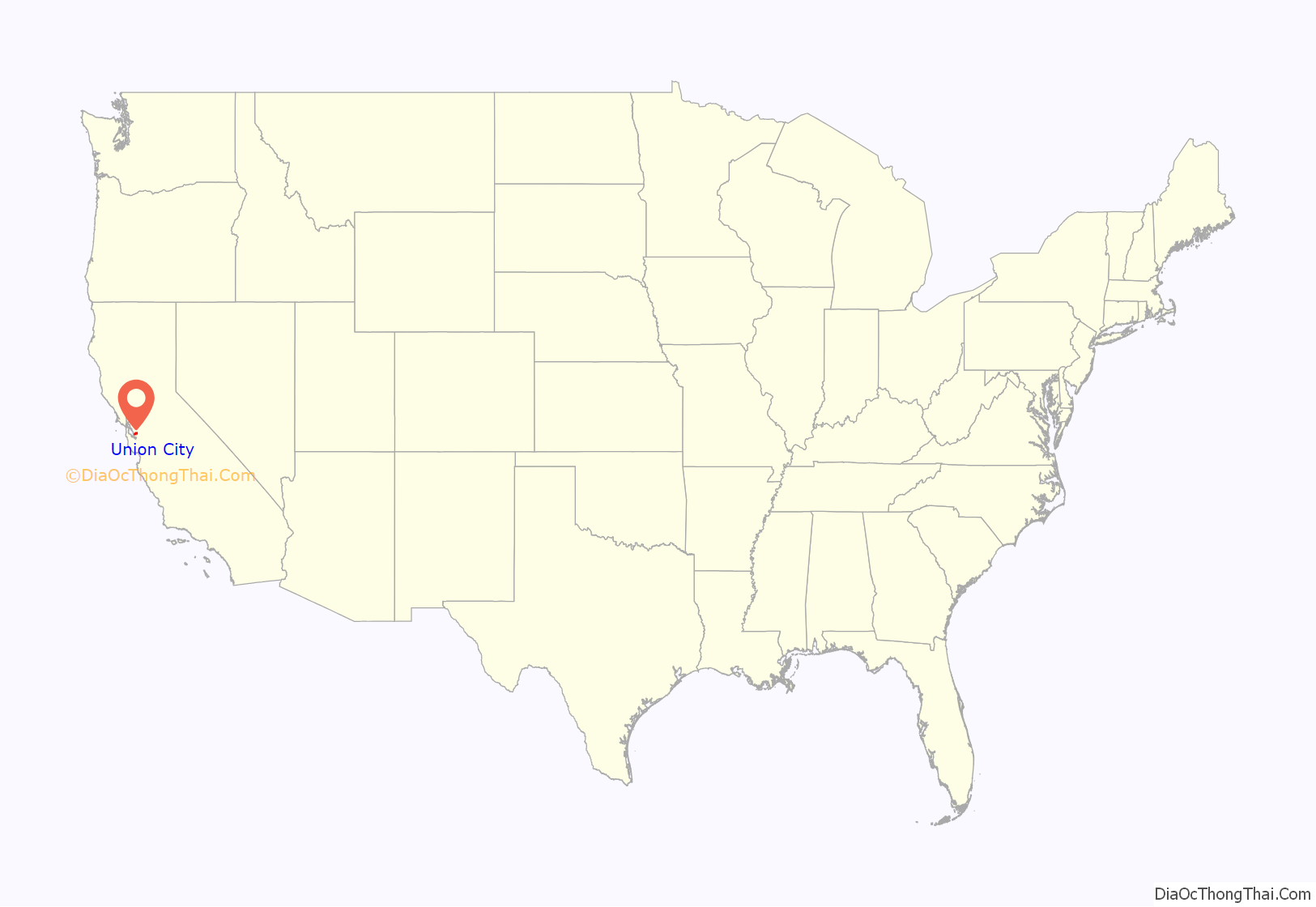
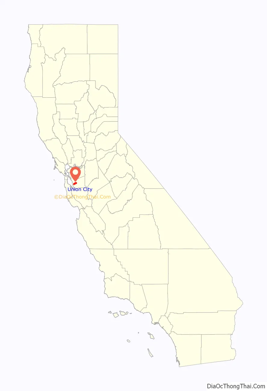
Union City location map. Where is Union City city?
History
The first people in the area, living along Alameda Creek and Dry Creek, were called “Costanoans” (literally, “coastal peoples”) by early Spanish explorers and missionaries. Shell mounds along the sloughs of Alameda Creek near the Alvarado sugar mill were refuse dumps of the Costanoans and some contained burial sites.
The first non-native community in what is now Union City was founded in 1850 by John and William Horner, also called “Union City,” after their Sacramento River Steamship, “The Union.” In 1854, it merged with the nearby community of New Haven (founded 1851) to form the town of Alvarado, named after the former Mexican governor, Juan Bautista Alvarado. Alvarado was the first county seat of Alameda County, a designation it soon lost in 1865 to San Leandro. Further east, the town of Decoto was founded in 1870 as a railroad hub, with the first Transcontinental Railroad running through it. Alvarado-Niles Road, one of the city’s largest streets, connects the historical Fremont district of Niles with the historical Union City district of Alvarado.
The California Beet Sugar Company, which was the first successful sugar beet mill in the United States, was located in Alvarado and began operations in 1870. It changed owners and names over the years, but the plant was eventually demolished in 1977.
Union City is a former railroad and Steel Town with an extensive industrial heritage. The Pacific States Steel Company occupied the land behind Union City Station which is now being redeveloped into the Union City Station District Downtown. Relatives and descendants of former Pacific States steel workers receive compensation and preference when purchasing new Station District housing. The Alvarado and Decoto neighborhoods were both former railroad hubs and both still have very active railroad lines that bisect both East End and the West Side of town. Trains are a way of life in Union City and natives are accustomed to waiting for Amtrak and freight trains to cross while commuting the city thoroughfares.
In the 1950s, Alvarado and Decoto – the latter now making up the eastern side of the town – were annexation targets of the nearby communities of Newark, Hayward, and what would become Fremont. On January 13, 1959, they decided to incorporate themselves into a single city, and named it after the Horners’ original settlement, Union City. Tom Kitayama served as the city’s first mayor in 1959 and was involved in Union City politics for 32 years until his retirement in 1991. The population of the city grew from 6,000 in 1959 to 70,000 in 2020. In 2016, Union City started to rebrand and got a new city seal. Union City opened a new Teen Center in 2018.
Union City Road Map
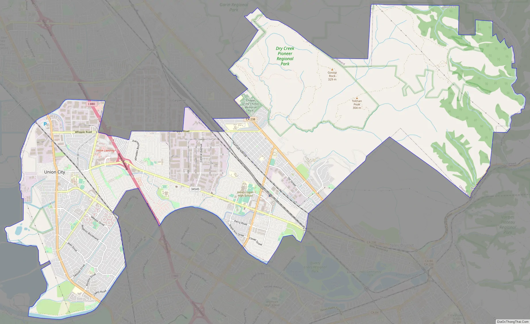
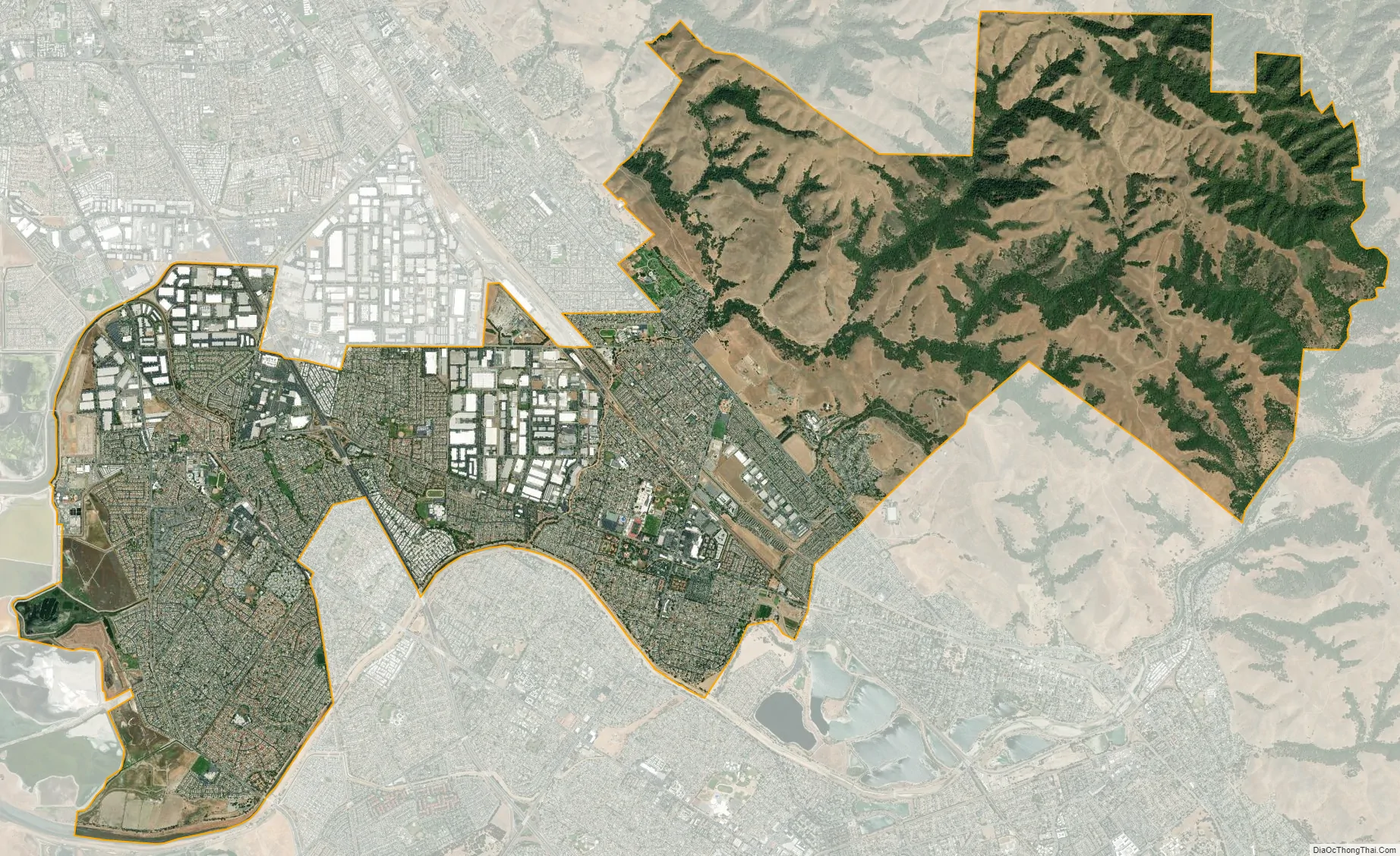
Union City city Satellite Map
Geography
According to the United States Census Bureau, the city has a total area of 19 square miles (49 km), all land with no bay frontage. The Niles Cone aquifer, managed by the Alameda County Water District, supplies much of the water consumed by Union City.
See also
Map of California State and its subdivision:- Alameda
- Alpine
- Amador
- Butte
- Calaveras
- Colusa
- Contra Costa
- Del Norte
- El Dorado
- Fresno
- Glenn
- Humboldt
- Imperial
- Inyo
- Kern
- Kings
- Lake
- Lassen
- Los Angeles
- Madera
- Marin
- Mariposa
- Mendocino
- Merced
- Modoc
- Mono
- Monterey
- Napa
- Nevada
- Orange
- Placer
- Plumas
- Riverside
- Sacramento
- San Benito
- San Bernardino
- San Diego
- San Francisco
- San Joaquin
- San Luis Obispo
- San Mateo
- Santa Barbara
- Santa Clara
- Santa Cruz
- Shasta
- Sierra
- Siskiyou
- Solano
- Sonoma
- Stanislaus
- Sutter
- Tehama
- Trinity
- Tulare
- Tuolumne
- Ventura
- Yolo
- Yuba
- Alabama
- Alaska
- Arizona
- Arkansas
- California
- Colorado
- Connecticut
- Delaware
- District of Columbia
- Florida
- Georgia
- Hawaii
- Idaho
- Illinois
- Indiana
- Iowa
- Kansas
- Kentucky
- Louisiana
- Maine
- Maryland
- Massachusetts
- Michigan
- Minnesota
- Mississippi
- Missouri
- Montana
- Nebraska
- Nevada
- New Hampshire
- New Jersey
- New Mexico
- New York
- North Carolina
- North Dakota
- Ohio
- Oklahoma
- Oregon
- Pennsylvania
- Rhode Island
- South Carolina
- South Dakota
- Tennessee
- Texas
- Utah
- Vermont
- Virginia
- Washington
- West Virginia
- Wisconsin
- Wyoming