Santa Nella is an unincorporated village and census-designated place (CDP) in Merced County, California, United States. It is located 10 miles (16 km) west-northwest of Los Banos at an elevation of 154 feet (47 m). As of the 2020 census, Santa Nella had a population of 2,211, up from 1,380 at the 2010 census.
The site’s status as a stopping place for travelers dates back to the 19th century when it was Rancho de Centinela (Spanish for “Sentinel Ranch”) along El Camino Viejo; the route through the community has since been replaced by Interstate 5 and State Route 33.
| Name: | Santa Nella CDP |
|---|---|
| LSAD Code: | 57 |
| LSAD Description: | CDP (suffix) |
| State: | California |
| County: | Merced County |
| Elevation: | 154 ft (47 m) |
| Total Area: | 4.683 sq mi (12.129 km²) |
| Land Area: | 4.683 sq mi (12.129 km²) |
| Water Area: | 0 sq mi (0 km²) 0% |
| Total Population: | 2,211 |
| Population Density: | 470/sq mi (180/km²) |
| ZIP code: | 95322 |
| Area code: | 209 |
| FIPS code: | 0670028 |
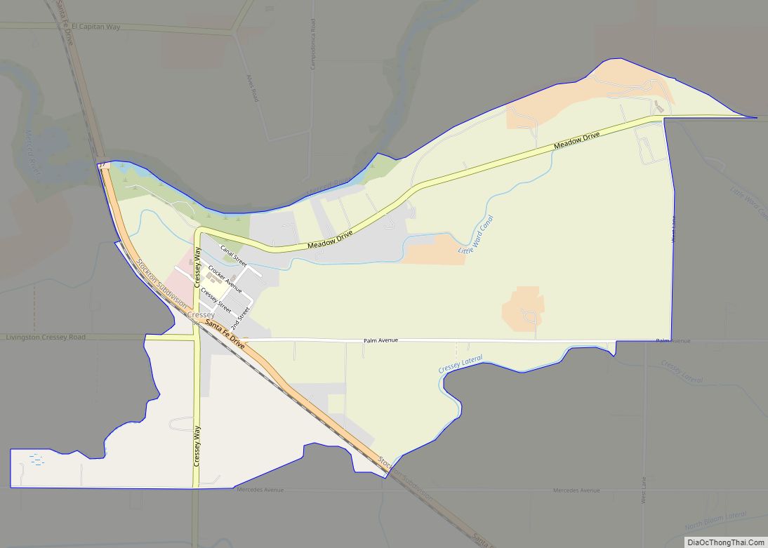
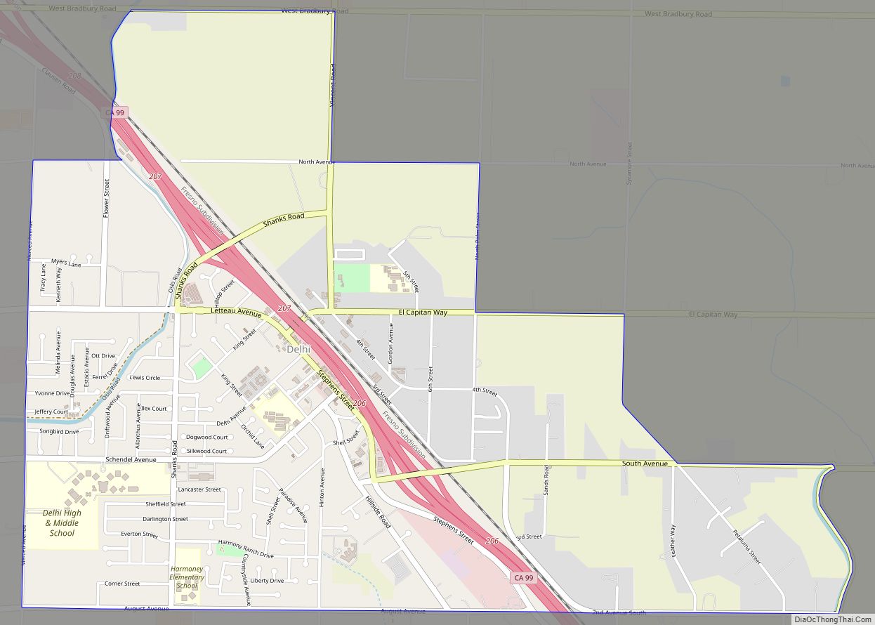
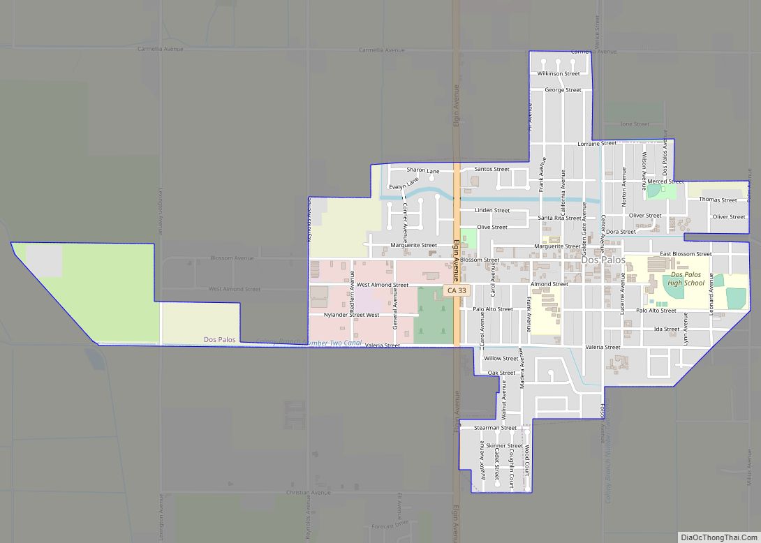
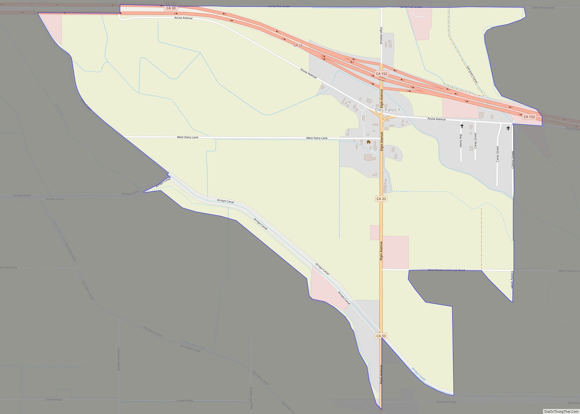
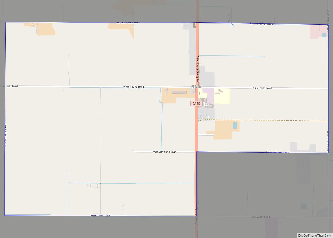
Online Interactive Map
Click on ![]() to view map in "full screen" mode.
to view map in "full screen" mode.
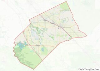
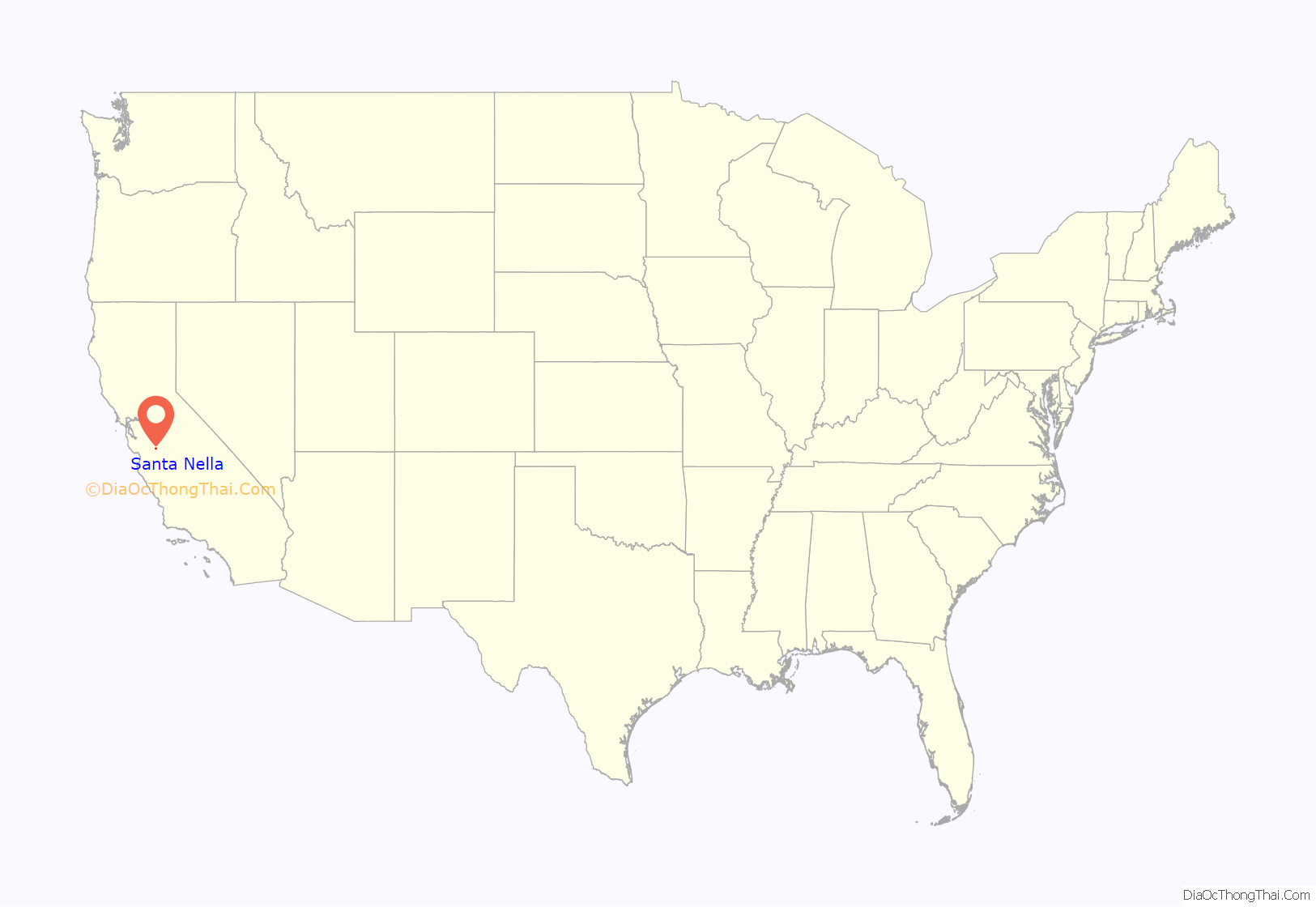
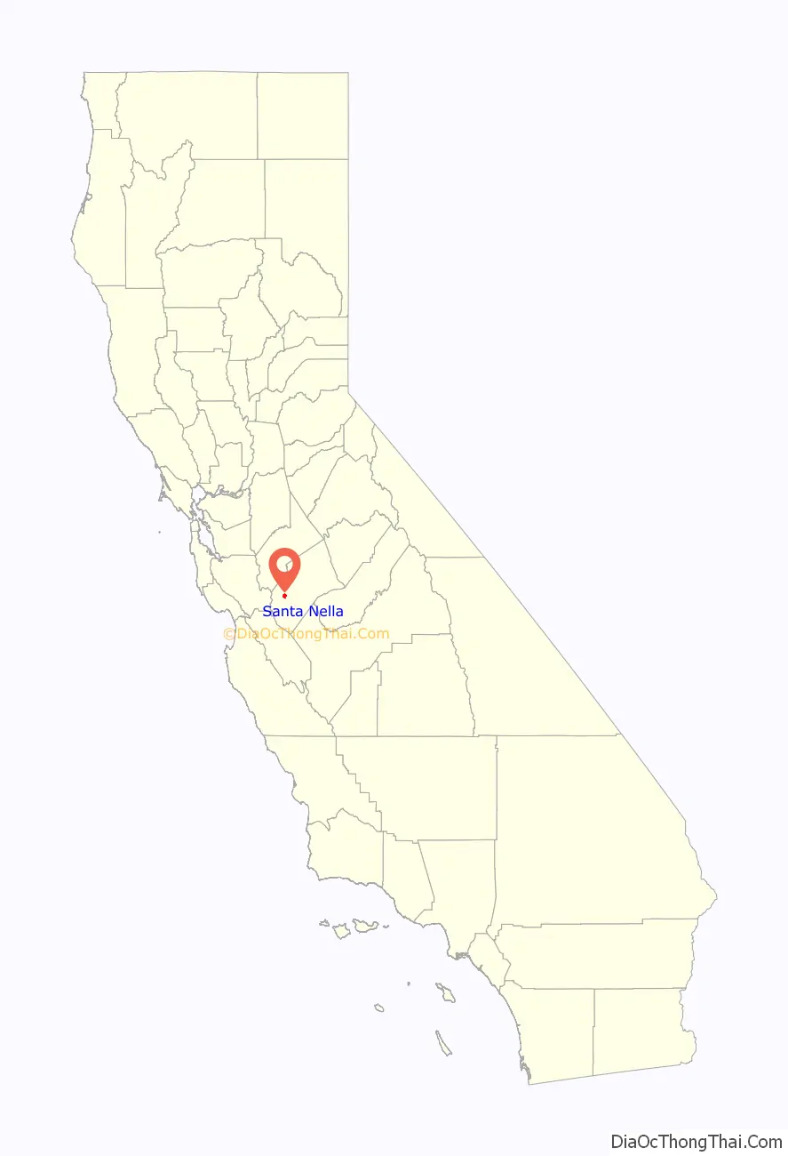
Santa Nella location map. Where is Santa Nella CDP?
History
Santa Nella began as the site of Rancho de Centinela (Sentinel Ranch) first established by pioneering stockmen from San Juan Bautista and Monterey as a place to raise horses in 1810. The former Centinela Adobe, a one-story adobe built as living quarters for the ranch, was located on El Camino Viejo a Los Ángeles about 3 miles (5 km) downstream from the site of the later San Luis Adobe (now under the San Luis Reservoir), at the east end of the Pacheco Pass road, situated on the south bank of Arroyo de San Luis Gonzaga. The escape of many of the horses into the valley and subsequent Indian hostilities made the enterprise a failure.
The land and adobe of this old Spanish ranch was included in the Rancho San Luis Gonzaga in 1843. From the time of the California Gold Rush the stage road from Hill’s Ferry crossed San Luis Creek at Centinella on the way to connect with the Pacheco Pass road at Rancho San Luis. The old Centinela ranch became a stopping place for stages and travelers on El Camino Viejo. Later a two-story adobe house was constructed near the old adobe by Basque sheepmen in the 1860s and a wooden barn in the 1870s. The two-story adobe was subsequently torn down in the 1890s and replaced by a frame house built by Miller and Lux. This house and barn were for a long time local landmarks. However, by 1966, the wooden house and barn had been removed and a roadside stop built on the site along State Route 33. The name of the place had been corrupted into Santa Nella.
The community was entered into the Geographic Names Information System in 1981 as “Santa Nella Village”. In 2010, it became a census-designated place under the “Santa Nella” name.
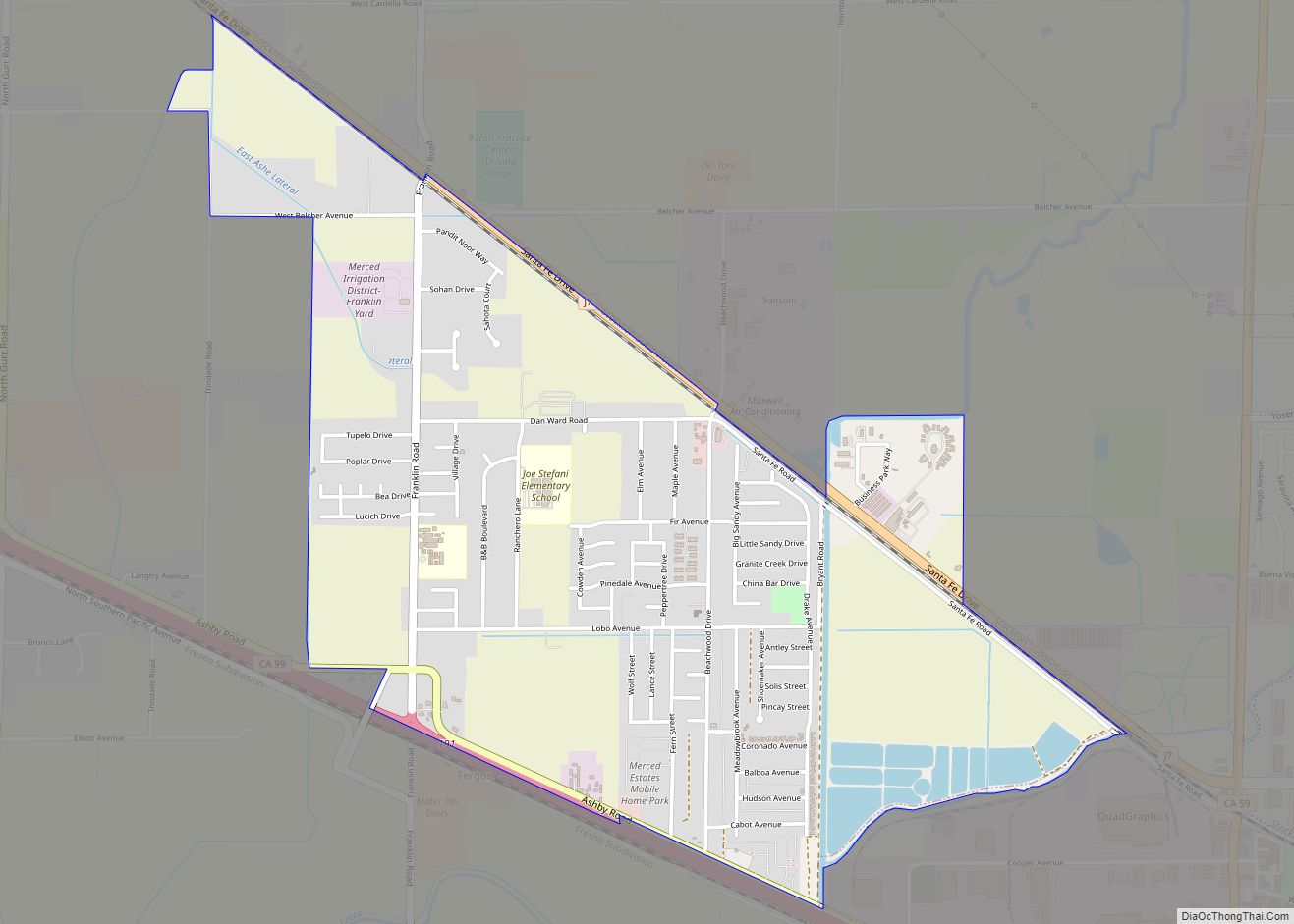
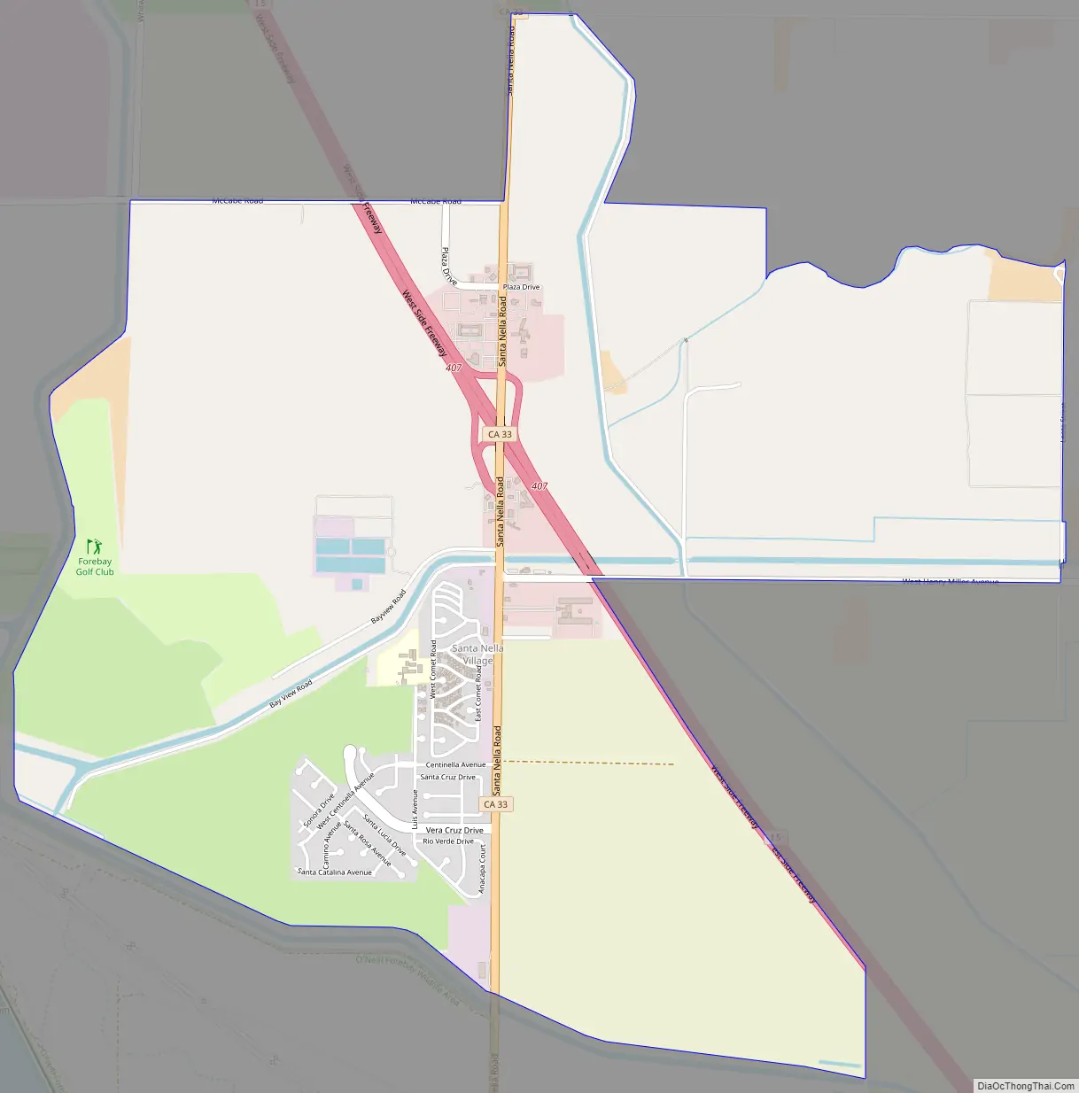
Santa Nella Road Map
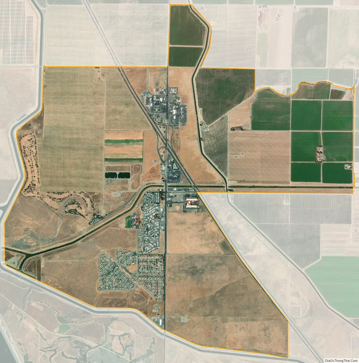
Santa Nella city Satellite Map
Geography
Santa Nella is in western Merced County, on the western edge of California’s Central Valley. Interstate 5 passes through the north side of the community, with access from Exit 407 (California State Route 33). I-5 leads north 66 miles (106 km) to Stockton and southeast 160 miles (260 km) to the Bakersfield area. State Route 33 leads north from Santa Nella 11 miles (18 km) to Gustine and southeast 12 miles (19 km) to Los Banos.
According to the United States Census Bureau, the Santa Nella CDP covers an area of 4.7 square miles (12 km), all of it land.
The San Joaquin Valley National Cemetery, including the California Korean War Veterans Memorial, is located to the west of Santa Nella, on McCabe Road. Nearby attractions also include the San Luis Reservoir and Forebay Golf Course.
See also
Map of California State and its subdivision:- Alameda
- Alpine
- Amador
- Butte
- Calaveras
- Colusa
- Contra Costa
- Del Norte
- El Dorado
- Fresno
- Glenn
- Humboldt
- Imperial
- Inyo
- Kern
- Kings
- Lake
- Lassen
- Los Angeles
- Madera
- Marin
- Mariposa
- Mendocino
- Merced
- Modoc
- Mono
- Monterey
- Napa
- Nevada
- Orange
- Placer
- Plumas
- Riverside
- Sacramento
- San Benito
- San Bernardino
- San Diego
- San Francisco
- San Joaquin
- San Luis Obispo
- San Mateo
- Santa Barbara
- Santa Clara
- Santa Cruz
- Shasta
- Sierra
- Siskiyou
- Solano
- Sonoma
- Stanislaus
- Sutter
- Tehama
- Trinity
- Tulare
- Tuolumne
- Ventura
- Yolo
- Yuba
- Alabama
- Alaska
- Arizona
- Arkansas
- California
- Colorado
- Connecticut
- Delaware
- District of Columbia
- Florida
- Georgia
- Hawaii
- Idaho
- Illinois
- Indiana
- Iowa
- Kansas
- Kentucky
- Louisiana
- Maine
- Maryland
- Massachusetts
- Michigan
- Minnesota
- Mississippi
- Missouri
- Montana
- Nebraska
- Nevada
- New Hampshire
- New Jersey
- New Mexico
- New York
- North Carolina
- North Dakota
- Ohio
- Oklahoma
- Oregon
- Pennsylvania
- Rhode Island
- South Carolina
- South Dakota
- Tennessee
- Texas
- Utah
- Vermont
- Virginia
- Washington
- West Virginia
- Wisconsin
- Wyoming