Toro Canyon (Toro, Spanish for “bull”) is a census-designated place (CDP) in Santa Barbara County, California, United States. The population was 1,835 at the 2020 census, up from 1,508 at the 2010 census.
| Name: | Toro Canyon CDP |
|---|---|
| LSAD Code: | 57 |
| LSAD Description: | CDP (suffix) |
| State: | California |
| County: | Santa Barbara County |
| Elevation: | 49 ft (15 m) |
| Total Area: | 3.573 sq mi (9.255 km²) |
| Land Area: | 3.570 sq mi (9.246 km²) |
| Water Area: | 0.003 sq mi (0.009 km²) 0.10% |
| Total Population: | 1,835 |
| Population Density: | 510/sq mi (200/km²) |
| ZIP code: | 93013 |
| Area code: | 805 |
| FIPS code: | 0679529 |
| GNISfeature ID: | 1853418 |
Online Interactive Map
Click on ![]() to view map in "full screen" mode.
to view map in "full screen" mode.
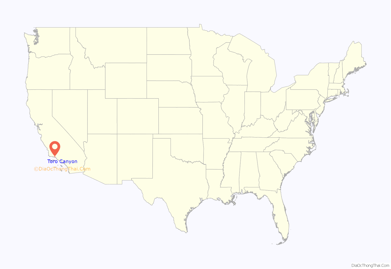
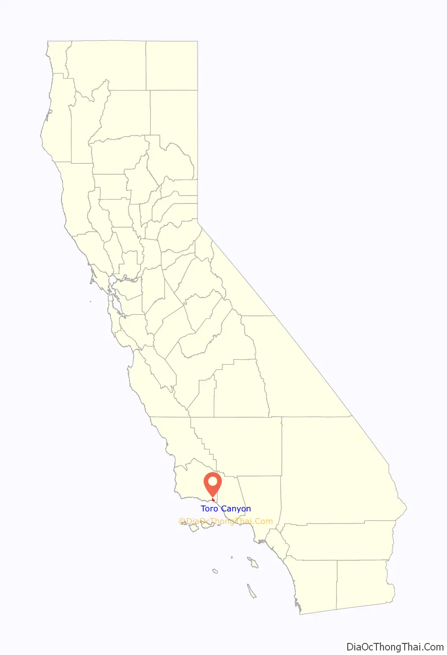
Toro Canyon location map. Where is Toro Canyon CDP?
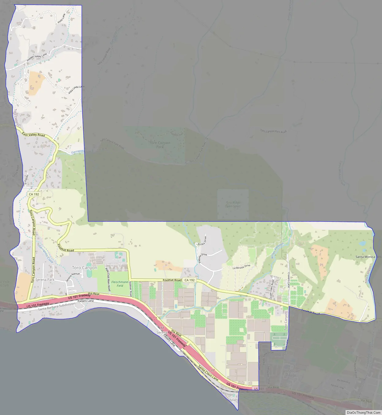
Toro Canyon Road Map
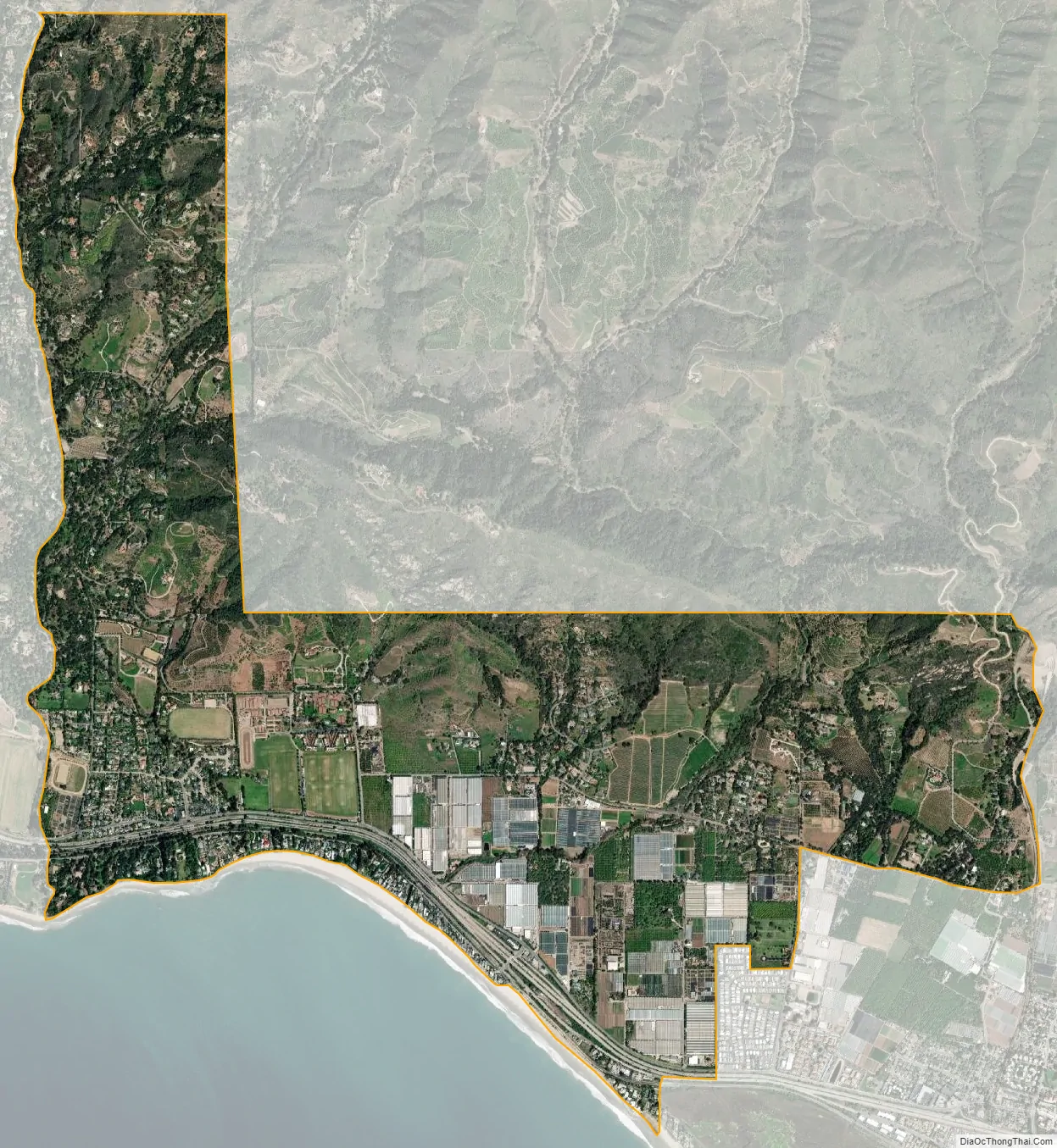
Toro Canyon city Satellite Map
Geography
Toro Canyon is bounded on the west by Montecito and Summerland, on the east and southeast by Carpinteria, on the north by Los Padres National Forest, and on the south by the Pacific Ocean.
According to the United States Census Bureau, the CDP has a total area of 3.6 square miles (9.3 km), 99.90% of it land and 0.10% of it water.
See also
Map of California State and its subdivision:- Alameda
- Alpine
- Amador
- Butte
- Calaveras
- Colusa
- Contra Costa
- Del Norte
- El Dorado
- Fresno
- Glenn
- Humboldt
- Imperial
- Inyo
- Kern
- Kings
- Lake
- Lassen
- Los Angeles
- Madera
- Marin
- Mariposa
- Mendocino
- Merced
- Modoc
- Mono
- Monterey
- Napa
- Nevada
- Orange
- Placer
- Plumas
- Riverside
- Sacramento
- San Benito
- San Bernardino
- San Diego
- San Francisco
- San Joaquin
- San Luis Obispo
- San Mateo
- Santa Barbara
- Santa Clara
- Santa Cruz
- Shasta
- Sierra
- Siskiyou
- Solano
- Sonoma
- Stanislaus
- Sutter
- Tehama
- Trinity
- Tulare
- Tuolumne
- Ventura
- Yolo
- Yuba
- Alabama
- Alaska
- Arizona
- Arkansas
- California
- Colorado
- Connecticut
- Delaware
- District of Columbia
- Florida
- Georgia
- Hawaii
- Idaho
- Illinois
- Indiana
- Iowa
- Kansas
- Kentucky
- Louisiana
- Maine
- Maryland
- Massachusetts
- Michigan
- Minnesota
- Mississippi
- Missouri
- Montana
- Nebraska
- Nevada
- New Hampshire
- New Jersey
- New Mexico
- New York
- North Carolina
- North Dakota
- Ohio
- Oklahoma
- Oregon
- Pennsylvania
- Rhode Island
- South Carolina
- South Dakota
- Tennessee
- Texas
- Utah
- Vermont
- Virginia
- Washington
- West Virginia
- Wisconsin
- Wyoming


