Alburnett is a city in Linn County, Iowa. The population was 675 at the time of the 2020 census. It is part of the Cedar Rapids metropolitan area.
| Name: | Alburnett city |
|---|---|
| LSAD Code: | 25 |
| LSAD Description: | city (suffix) |
| State: | Iowa |
| County: | Linn County |
| Incorporated: | June 29, 1912 |
| Elevation: | 883 ft (269 m) |
| Total Area: | 0.76 sq mi (1.97 km²) |
| Land Area: | 0.76 sq mi (1.96 km²) |
| Water Area: | 0.00 sq mi (0.01 km²) |
| Total Population: | 675 |
| Population Density: | 892.86/sq mi (344.65/km²) |
| ZIP code: | 52202 |
| Area code: | 319 |
| FIPS code: | 1901000 |
| GNISfeature ID: | 0454117 |
| Website: | www.alburnett.com |
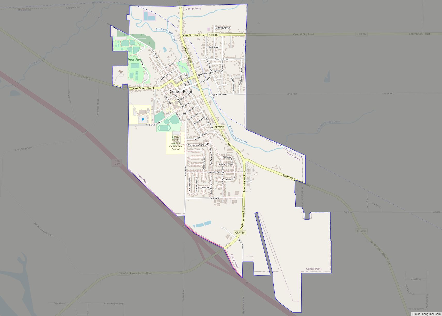
Online Interactive Map
Click on ![]() to view map in "full screen" mode.
to view map in "full screen" mode.
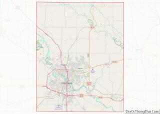
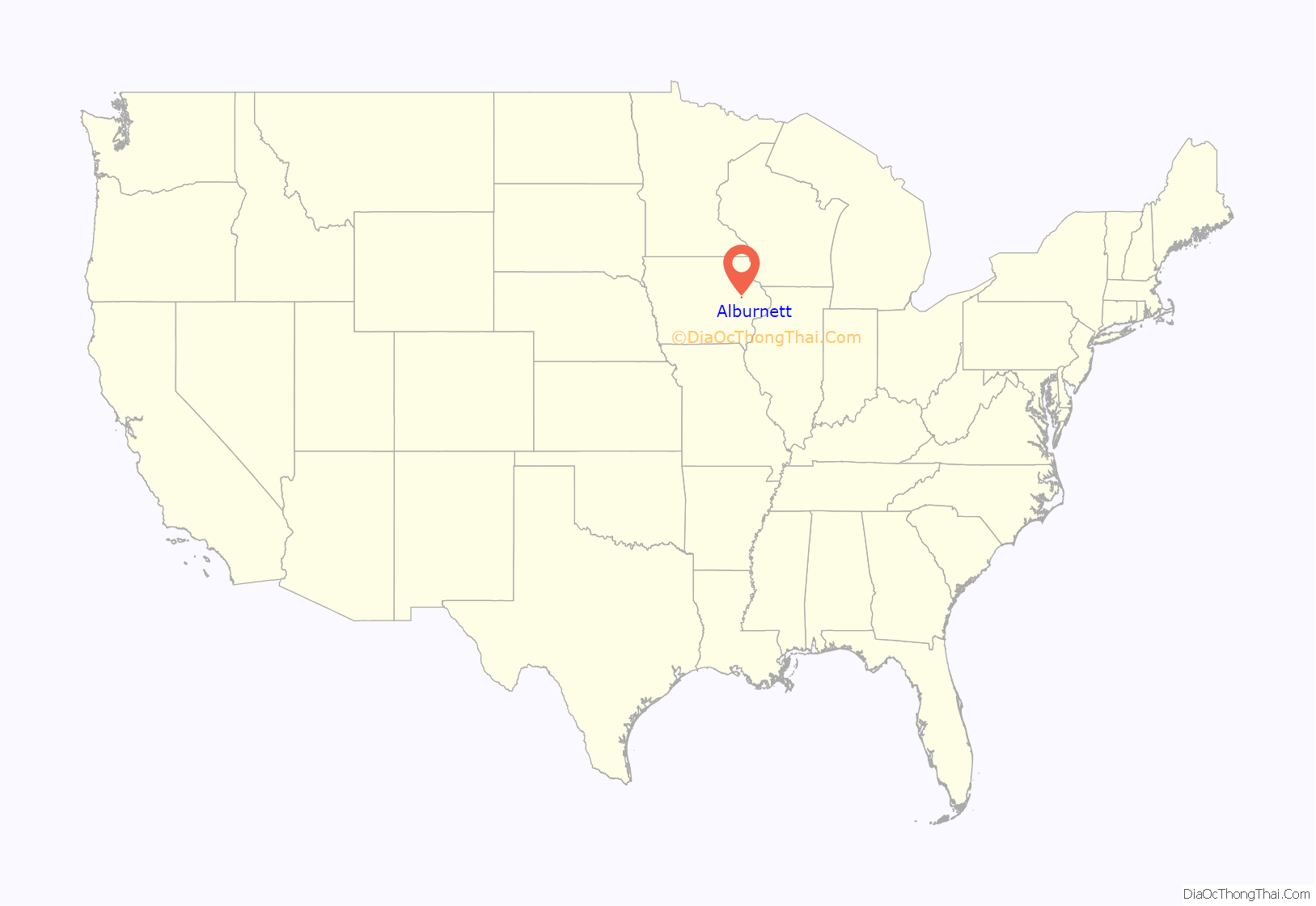
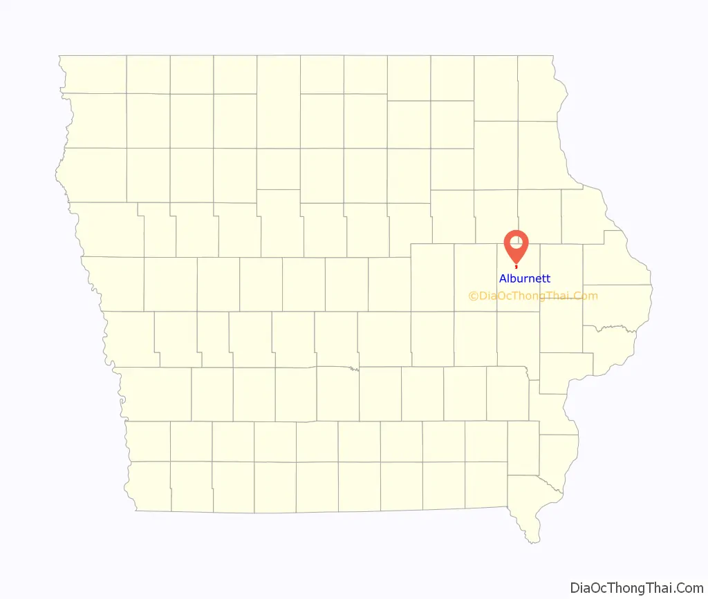
Alburnett location map. Where is Alburnett city?
History
In 1887, the Illinois Central Railroad was built through Linn County’s Otter Creek township. In the winter of that year, a depot was built on land donated by Albert Burnett. Because he had given land for the depot, the name “Burnett” was chosen for its identification.
Business interests began to center around the depot because the railroad offered an outlet to both the north and the south, and because of its proximity to Cedar Rapids, Iowa. Burnett and his wife soon began to plat a community. Meanwhile, landowner Michael Weislogel began to lay out lots a short distance to the south. This community, called “Trentham,” was the site of the first general store and post office. However, because contemporary state law dictated that a depot and post office in the same community must carry the same name, the name was soon changed to “Burnett.” Mail delivery problems soon developed between Burnett and the community of Bennett in Cedar County. Consequently, “Al” Burnett changed the name to “Alburnett.” Alburnett was incorporated in 1912.
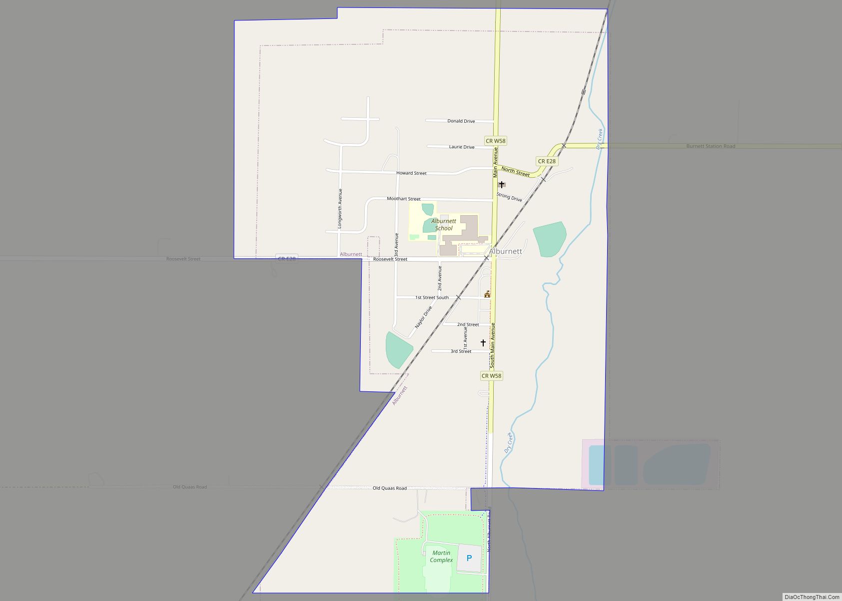
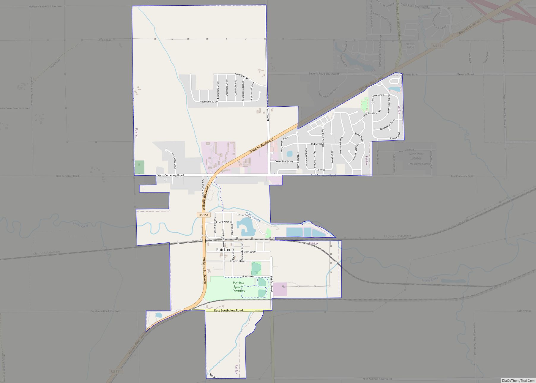
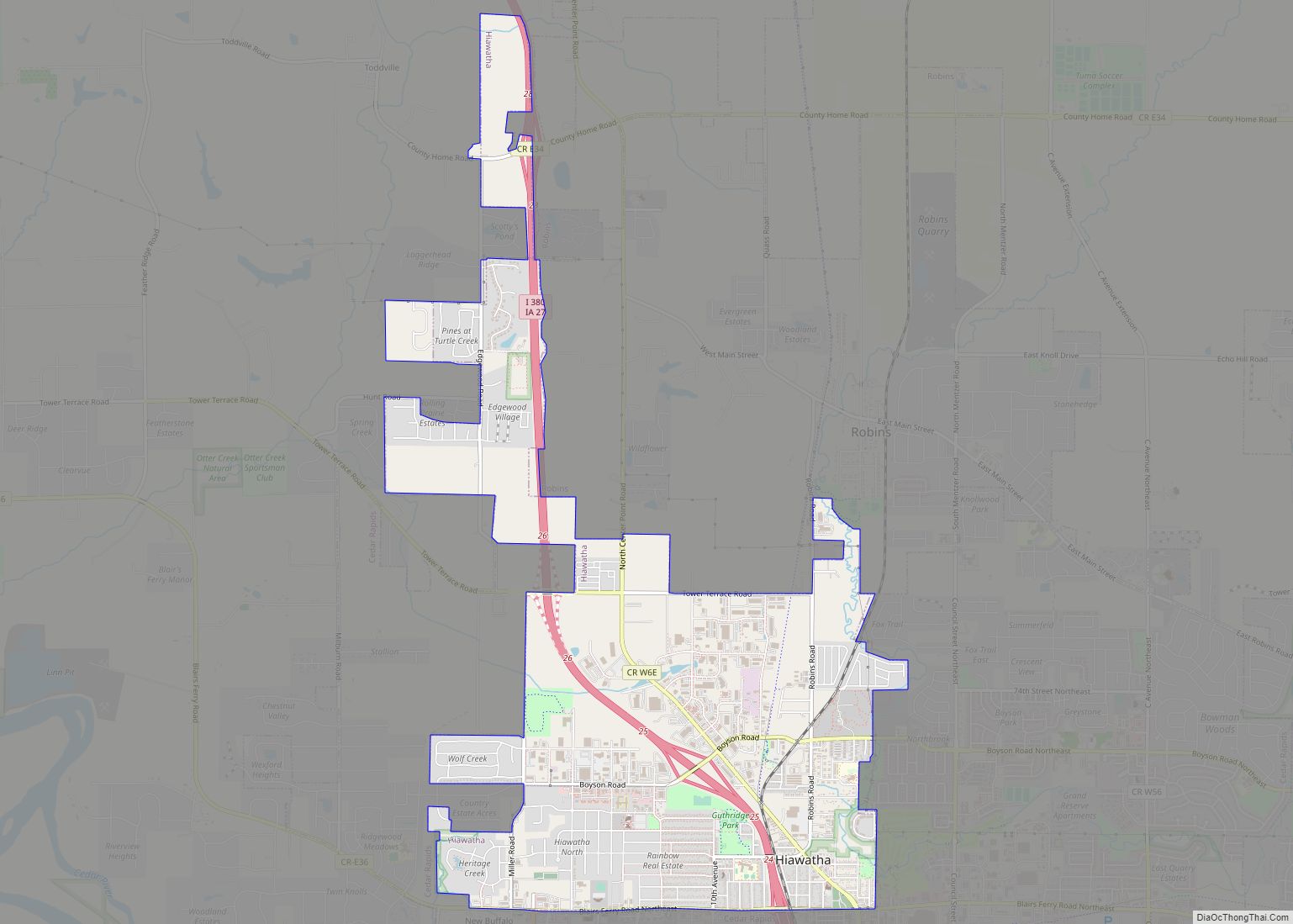
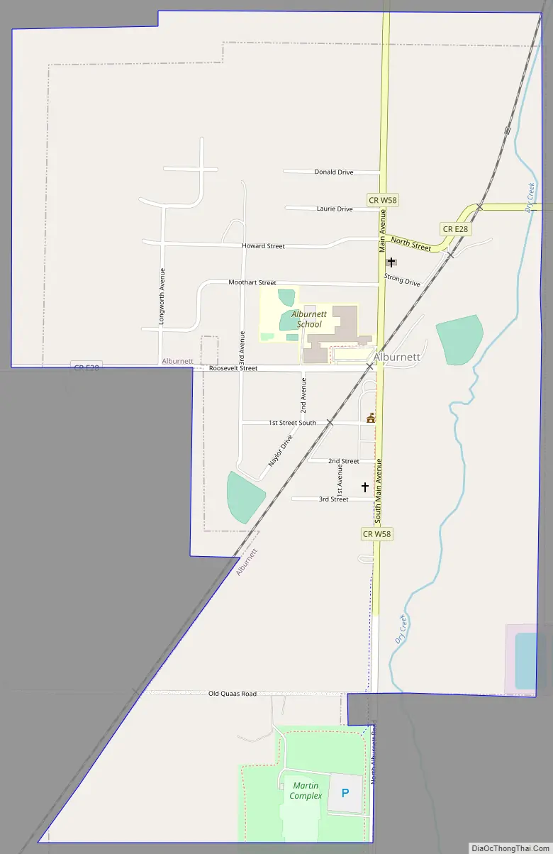
Alburnett Road Map
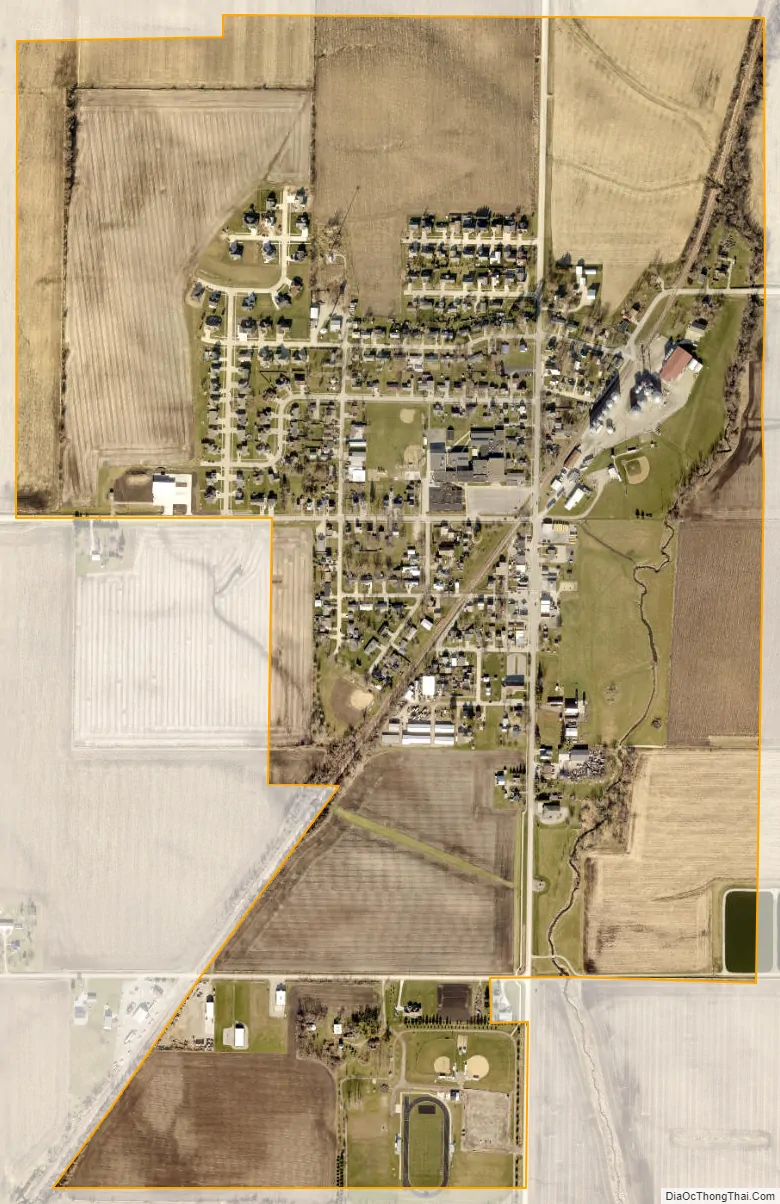
Alburnett city Satellite Map
Geography
Alburnett’s longitude and latitude coordinates
in decimal form are 42.149257, -91.619618.
According to the United States Census Bureau, the city has a total area of 0.82 square miles (2.12 km), all land.
See also
Map of Iowa State and its subdivision:- Adair
- Adams
- Allamakee
- Appanoose
- Audubon
- Benton
- Black Hawk
- Boone
- Bremer
- Buchanan
- Buena Vista
- Butler
- Calhoun
- Carroll
- Cass
- Cedar
- Cerro Gordo
- Cherokee
- Chickasaw
- Clarke
- Clay
- Clayton
- Clinton
- Crawford
- Dallas
- Davis
- Decatur
- Delaware
- Des Moines
- Dickinson
- Dubuque
- Emmet
- Fayette
- Floyd
- Franklin
- Fremont
- Greene
- Grundy
- Guthrie
- Hamilton
- Hancock
- Hardin
- Harrison
- Henry
- Howard
- Humboldt
- Ida
- Iowa
- Jackson
- Jasper
- Jefferson
- Johnson
- Jones
- Keokuk
- Kossuth
- Lee
- Linn
- Louisa
- Lucas
- Lyon
- Madison
- Mahaska
- Marion
- Marshall
- Mills
- Mitchell
- Monona
- Monroe
- Montgomery
- Muscatine
- O'Brien
- Osceola
- Page
- Palo Alto
- Plymouth
- Pocahontas
- Polk
- Pottawattamie
- Poweshiek
- Ringgold
- Sac
- Scott
- Shelby
- Sioux
- Story
- Tama
- Taylor
- Union
- Van Buren
- Wapello
- Warren
- Washington
- Wayne
- Webster
- Winnebago
- Winneshiek
- Woodbury
- Worth
- Wright
- Alabama
- Alaska
- Arizona
- Arkansas
- California
- Colorado
- Connecticut
- Delaware
- District of Columbia
- Florida
- Georgia
- Hawaii
- Idaho
- Illinois
- Indiana
- Iowa
- Kansas
- Kentucky
- Louisiana
- Maine
- Maryland
- Massachusetts
- Michigan
- Minnesota
- Mississippi
- Missouri
- Montana
- Nebraska
- Nevada
- New Hampshire
- New Jersey
- New Mexico
- New York
- North Carolina
- North Dakota
- Ohio
- Oklahoma
- Oregon
- Pennsylvania
- Rhode Island
- South Carolina
- South Dakota
- Tennessee
- Texas
- Utah
- Vermont
- Virginia
- Washington
- West Virginia
- Wisconsin
- Wyoming