Andrew is a small city in central Jackson County, Iowa, United States. The population was 380 at the 2020 census.
| Name: | Andrew city |
|---|---|
| LSAD Code: | 25 |
| LSAD Description: | city (suffix) |
| State: | Iowa |
| County: | Jackson County |
| Incorporated: | August 4, 1863 |
| Elevation: | 883 ft (269 m) |
| Total Area: | 0.25 sq mi (0.64 km²) |
| Land Area: | 0.25 sq mi (0.64 km²) |
| Water Area: | 0.00 sq mi (0.00 km²) |
| Total Population: | 380 |
| Population Density: | 1,532.26/sq mi (591.69/km²) |
| ZIP code: | 52030 |
| Area code: | 563 |
| FIPS code: | 1902125 |
| GNISfeature ID: | 0454187 |
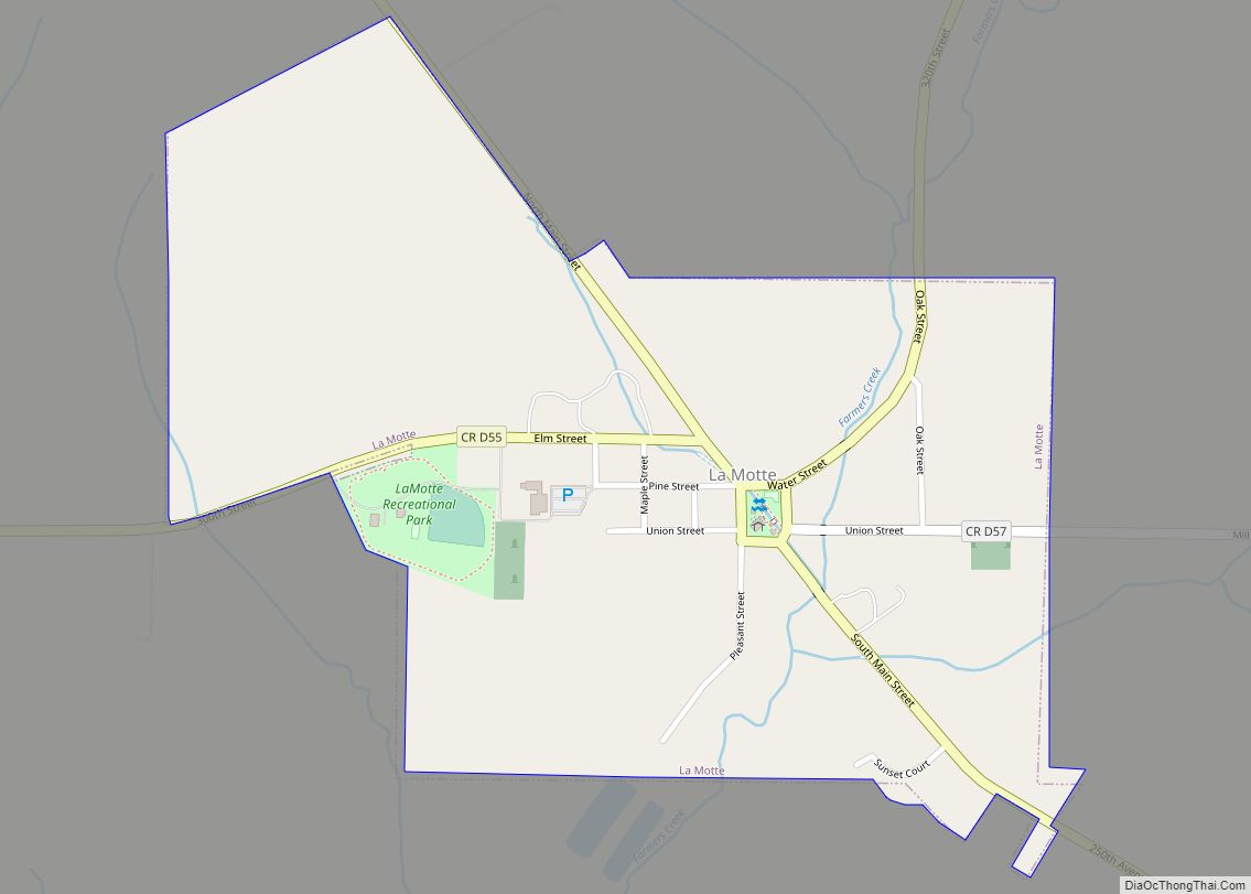
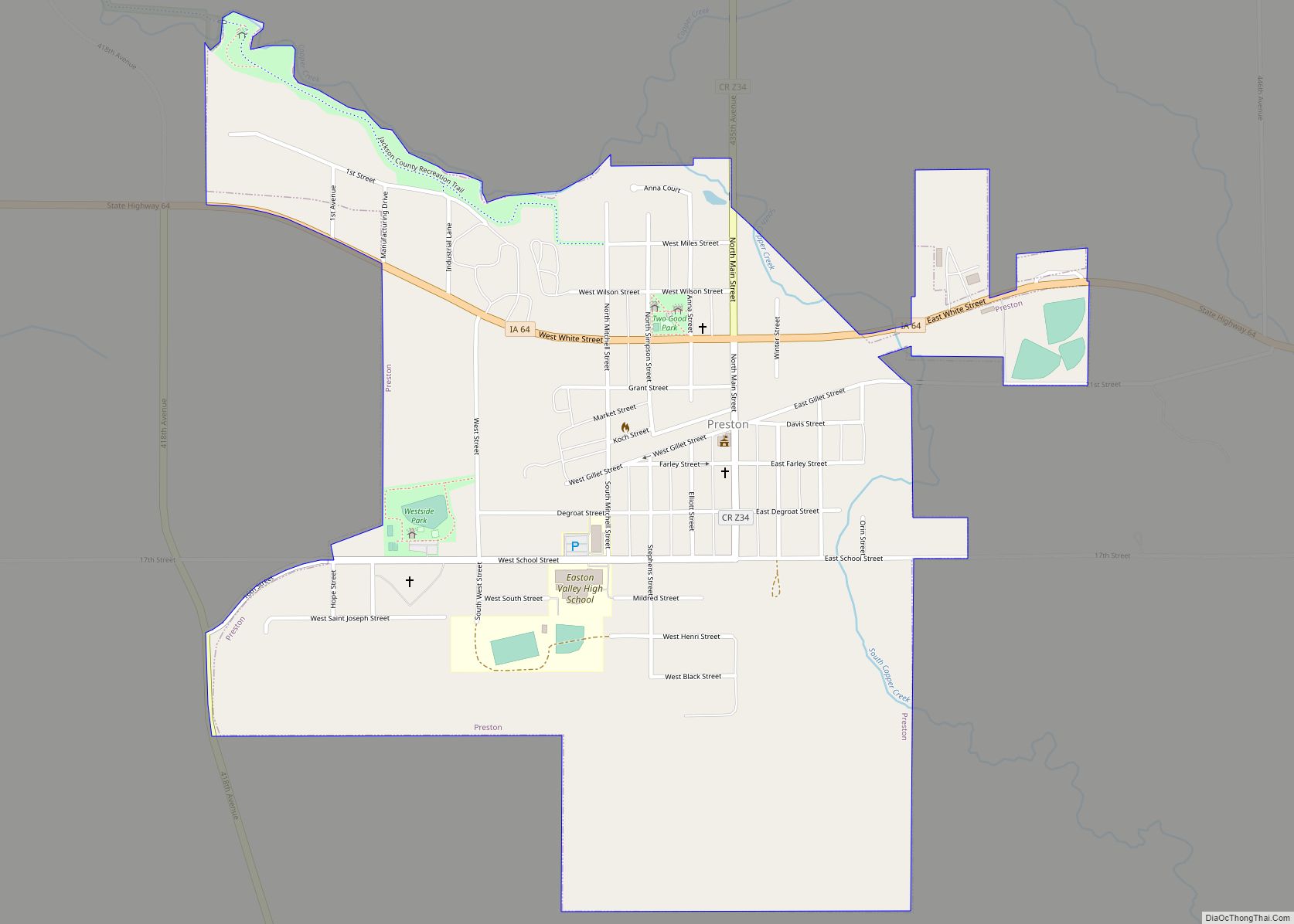
Online Interactive Map
Click on ![]() to view map in "full screen" mode.
to view map in "full screen" mode.
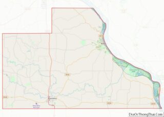
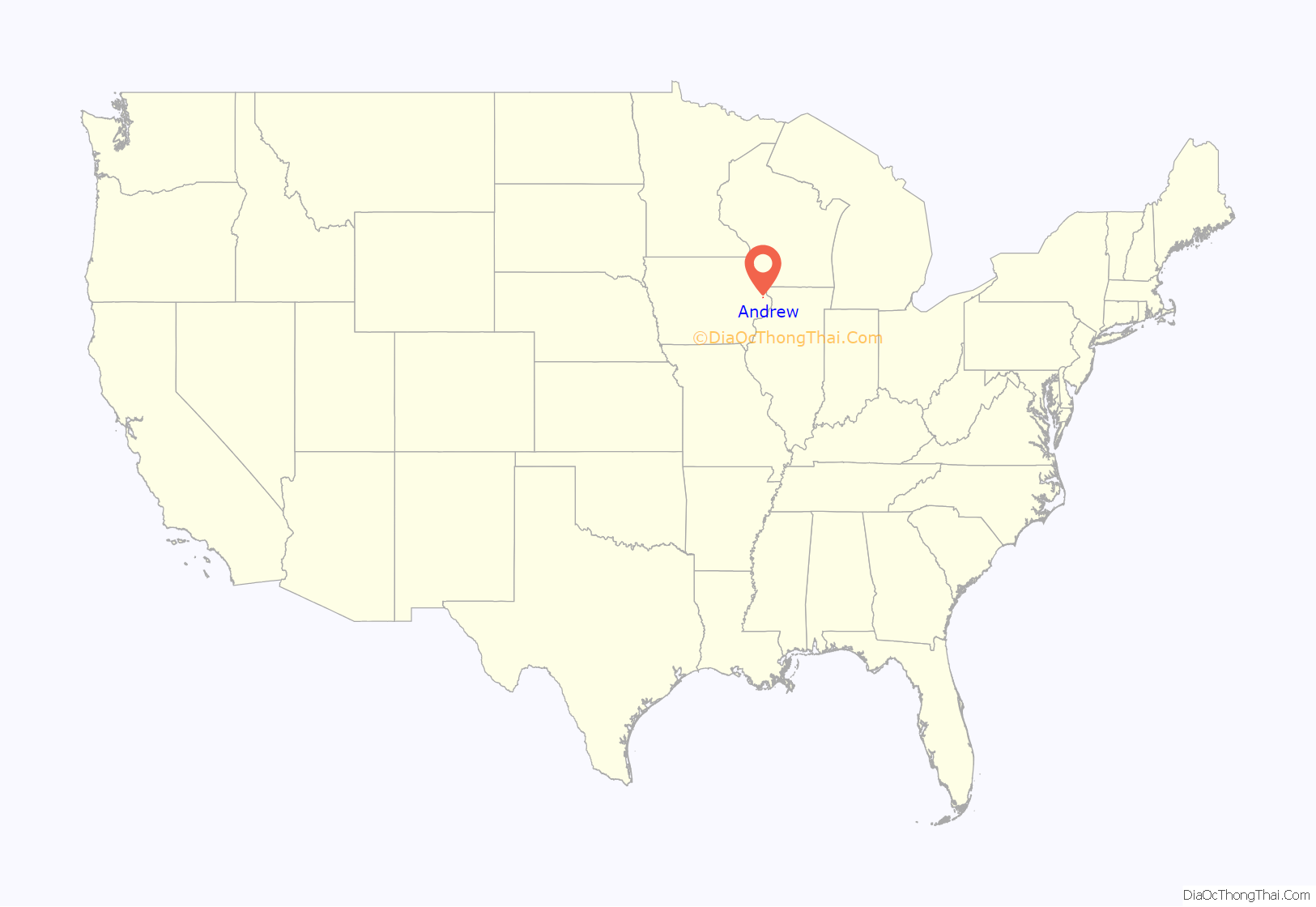
Andrew location map. Where is Andrew city?
History
Andrew, located in Jackson County, was named for the seventh president, Andrew Jackson.
In 1841 Ansel Briggs, the first governor of Iowa, settled on a location outside of Andrew known as Bluff Mills, later moving his family to town. He became the Jackson County deputy treasurer in 1843 then began a two-year term as Sheriff of Jackson County in 1844. Ansel Briggs won the election against Thomas McKnight for the governor of Iowa in 1846. Briggs served as governor until 1850. On September 22, 1909, the citizens of Andrew erected a granite monument in the city cemetery in his honor. Although Briggs was originally buried in Omaha, Nebraska, he was re-interred in 1909 in the Andrew Cemetery.
Andrew was incorporated in 1863, with the first record of ordinances recorded in 1867. The county seat switched between Bellevue and Andrew several times until it was moved to Maquoketa in 1873. The county seat was responsible for much of the growth of the city. An orphans asylum and courthouse was built along with other structures to serve the county government.
The Jackson County Jailhouse was built in 1870 and is now listed on the National Register of Historic Places. The three-story limestone structure includes sheriff’s office, cell room, exercise yard, a jailer quarters, and prison kitchen. The jailhouse has since been restored and tours are given.
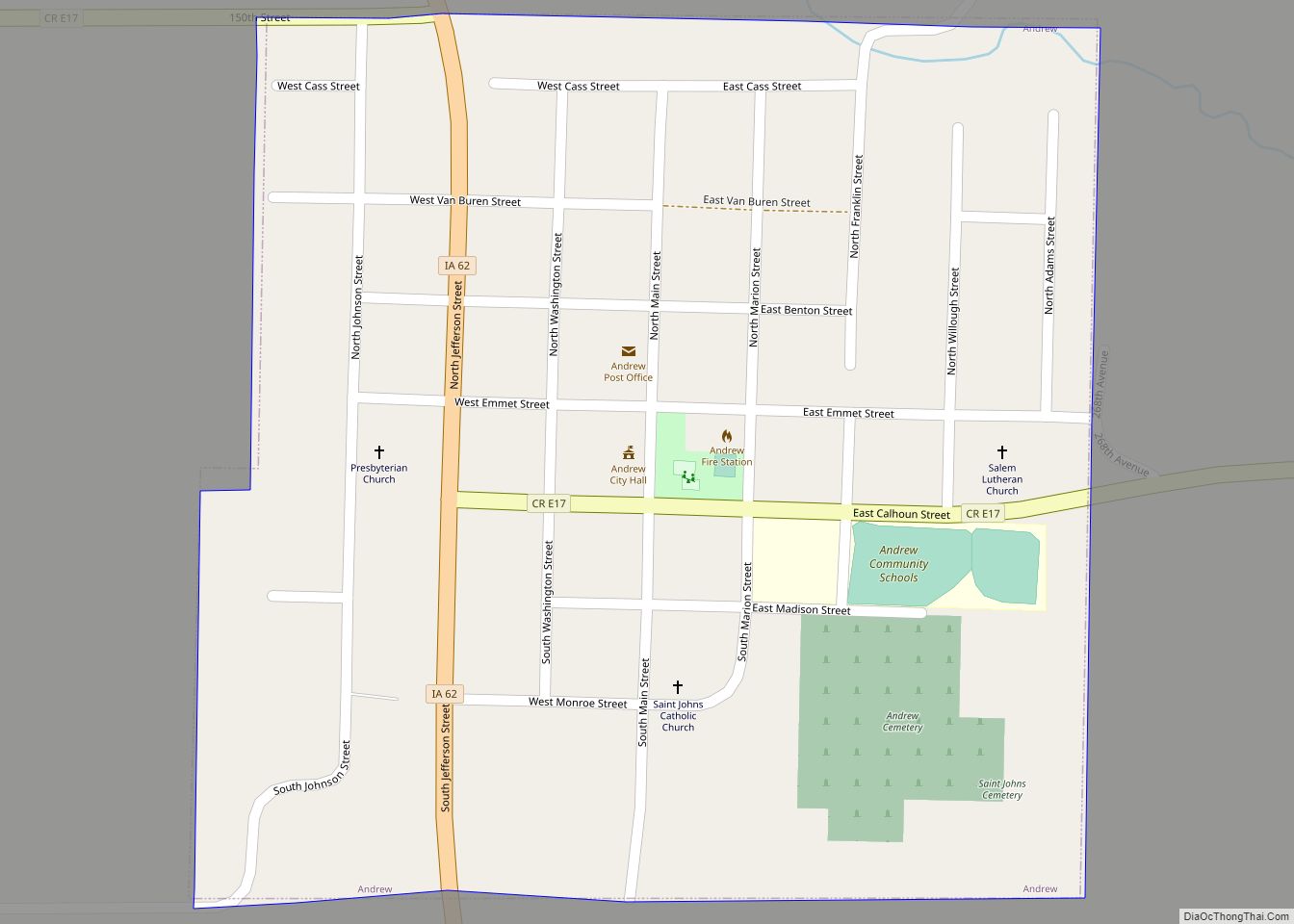
The first school was made of logs in 1841 and the second was a framed structure. A brick building was built in 1889 at the present location of the school, 13 South Marion Street. Andrew Community School conducts preschool through eighth grade level classes, with the former high school being closed in 2011.
Andrew is the birthplace of the first American military casualty of World War II, Captain Robert M. Losey, who was killed during a German Luftwaffe bombing of Dombås, Norway.
Andrew has three churches: St John’s Catholic Church (closed), First Presbyterian Church, and Salem Lutheran Church. Salem Lutheran Church was organized in 1863 and built one of Iowa’s first orphanages.
Public Services and Recreation
The Andrew Public Library is located in the City Hall on 11 E. Benton Street. Books are available for all ages with a special program held for children of the community during the summer.
The city park is located in the center of town and is the location of the historic Jackson County Jailhouse. The park offers a newly constructed pavilion and playground equipment.
Brush Creek is located just two miles outside of Andrew and the Mississippi River is fourteen miles northeast on Highway 62 at the intersection of Highway 52 in downtown Bellevue.
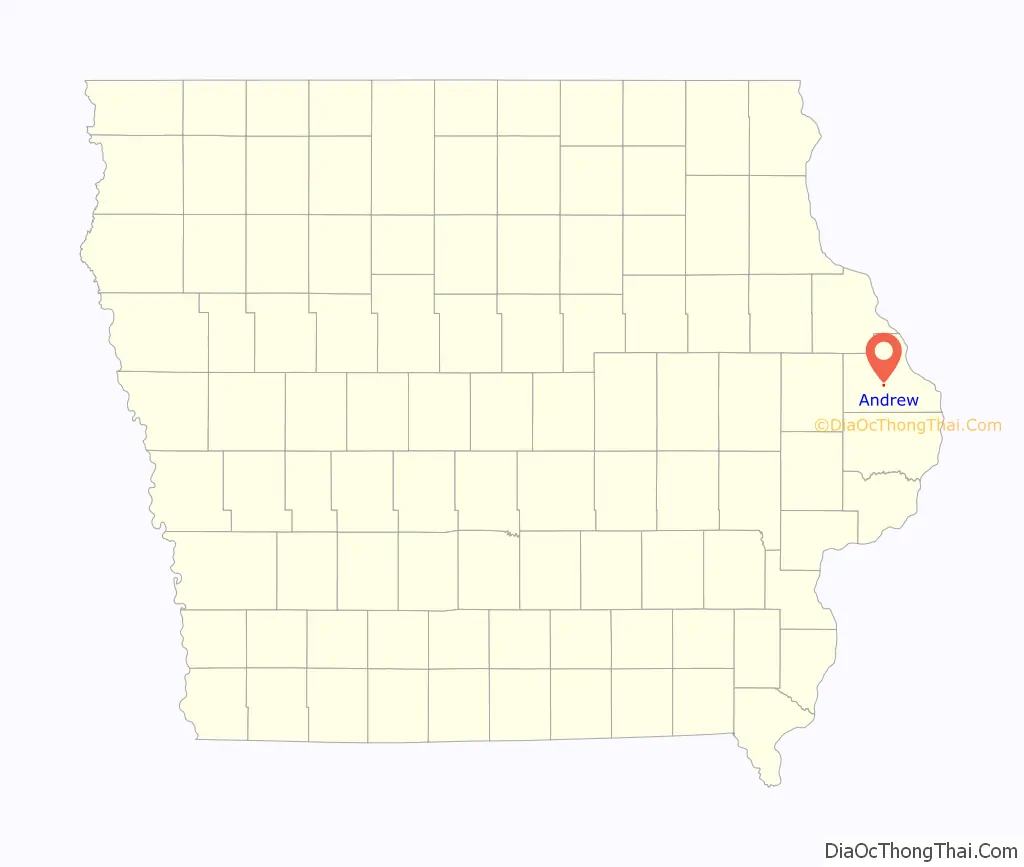
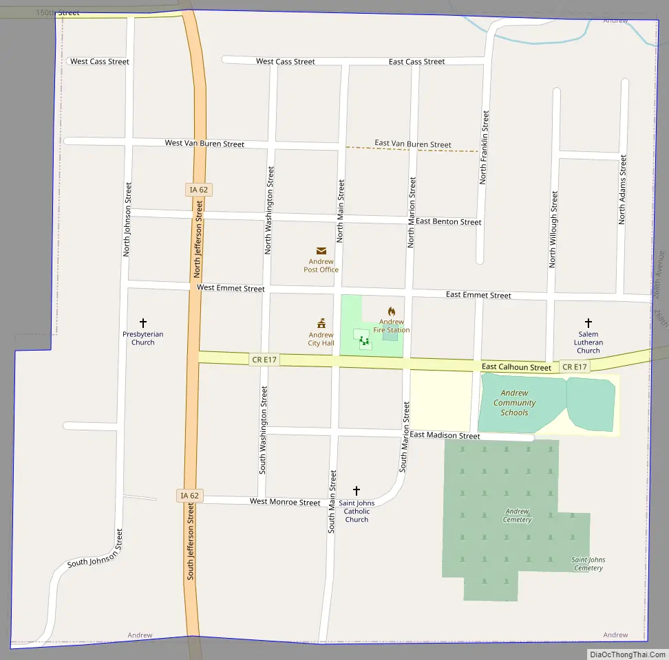
Andrew Road Map
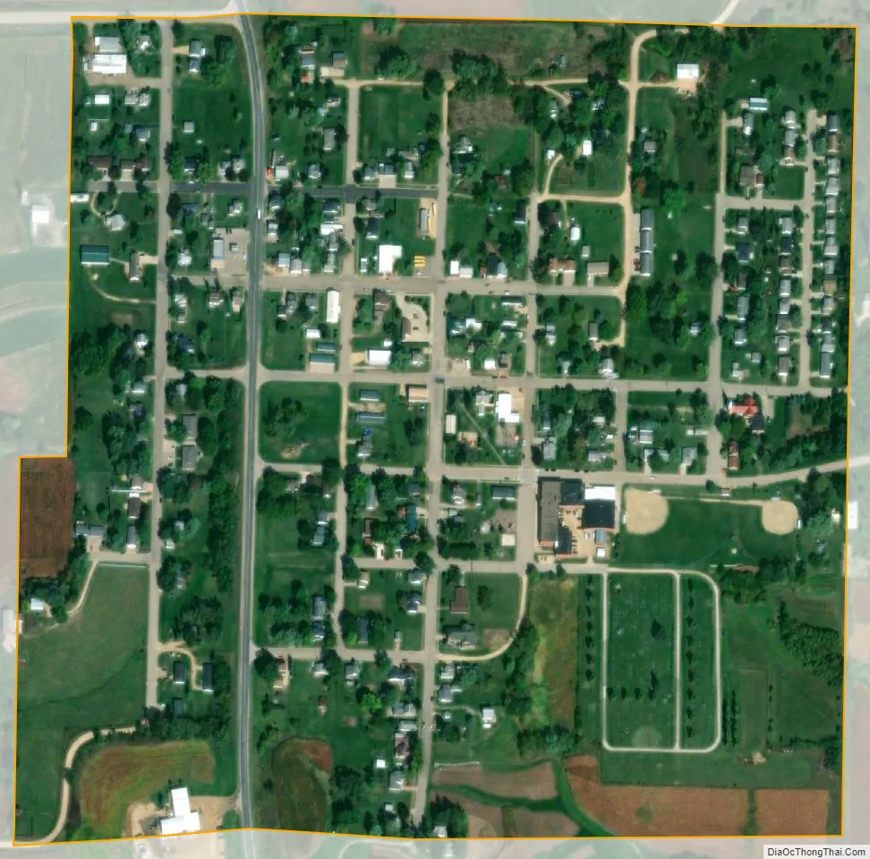
Andrew city Satellite Map
Geography
Andrew’s longitude and latitude coordinates in decimal form are 42.154059, -90.591765.
According to the United States Census Bureau, the city has a total area of 0.27 square miles (0.70 km), all land.
See also
Map of Iowa State and its subdivision:- Adair
- Adams
- Allamakee
- Appanoose
- Audubon
- Benton
- Black Hawk
- Boone
- Bremer
- Buchanan
- Buena Vista
- Butler
- Calhoun
- Carroll
- Cass
- Cedar
- Cerro Gordo
- Cherokee
- Chickasaw
- Clarke
- Clay
- Clayton
- Clinton
- Crawford
- Dallas
- Davis
- Decatur
- Delaware
- Des Moines
- Dickinson
- Dubuque
- Emmet
- Fayette
- Floyd
- Franklin
- Fremont
- Greene
- Grundy
- Guthrie
- Hamilton
- Hancock
- Hardin
- Harrison
- Henry
- Howard
- Humboldt
- Ida
- Iowa
- Jackson
- Jasper
- Jefferson
- Johnson
- Jones
- Keokuk
- Kossuth
- Lee
- Linn
- Louisa
- Lucas
- Lyon
- Madison
- Mahaska
- Marion
- Marshall
- Mills
- Mitchell
- Monona
- Monroe
- Montgomery
- Muscatine
- O'Brien
- Osceola
- Page
- Palo Alto
- Plymouth
- Pocahontas
- Polk
- Pottawattamie
- Poweshiek
- Ringgold
- Sac
- Scott
- Shelby
- Sioux
- Story
- Tama
- Taylor
- Union
- Van Buren
- Wapello
- Warren
- Washington
- Wayne
- Webster
- Winnebago
- Winneshiek
- Woodbury
- Worth
- Wright
- Alabama
- Alaska
- Arizona
- Arkansas
- California
- Colorado
- Connecticut
- Delaware
- District of Columbia
- Florida
- Georgia
- Hawaii
- Idaho
- Illinois
- Indiana
- Iowa
- Kansas
- Kentucky
- Louisiana
- Maine
- Maryland
- Massachusetts
- Michigan
- Minnesota
- Mississippi
- Missouri
- Montana
- Nebraska
- Nevada
- New Hampshire
- New Jersey
- New Mexico
- New York
- North Carolina
- North Dakota
- Ohio
- Oklahoma
- Oregon
- Pennsylvania
- Rhode Island
- South Carolina
- South Dakota
- Tennessee
- Texas
- Utah
- Vermont
- Virginia
- Washington
- West Virginia
- Wisconsin
- Wyoming