Arcadia is a city in Carroll County, Iowa, United States. The population was 525 at the 2020 census.
| Name: | Arcadia city |
|---|---|
| LSAD Code: | 25 |
| LSAD Description: | city (suffix) |
| State: | Iowa |
| County: | Carroll County |
| Elevation: | 1,447 ft (441 m) |
| Total Area: | 0.99 sq mi (2.56 km²) |
| Land Area: | 0.99 sq mi (2.56 km²) |
| Water Area: | 0.00 sq mi (0.00 km²) |
| Total Population: | 525 |
| Population Density: | 530.84/sq mi (204.93/km²) |
| ZIP code: | 51430 |
| Area code: | 712 |
| FIPS code: | 1902485 |
| GNISfeature ID: | 0454218 |
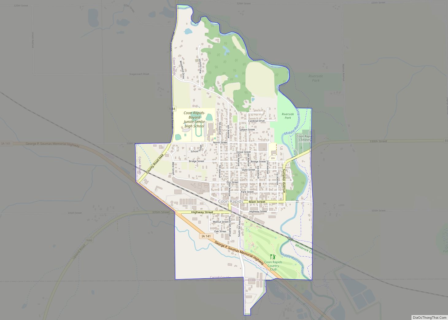
Online Interactive Map
Click on ![]() to view map in "full screen" mode.
to view map in "full screen" mode.
Arcadia location map. Where is Arcadia city?


History
Arcadia was laid out in 1871. It was named for the region of Arcadia, in Greece. The date of incorporation of Arcadia was 1881. According of the census carried out in the year before, Arcadia had 450 inhabitants. The original name of the town was “Tip Top”, chosen for its location on the Missouri–Mississippi Divide and it being Iowa’s topographically most elevated town. In 1880, a large fire destroyed most of the business section of Arcadia. Only 2 buildings were spared by the fire. Most of the work for restoring the destroyed buildings was completed within a year after the event.
Arcadia Road Map

Arcadia city Satellite Map

Geography
Arcadia is located at 42°5′13″N 95°2′44″W / 42.08694°N 95.04556°W / 42.08694; -95.04556 (42.086903, -95.045594).
According to the United States Census Bureau, the city has a total area of 0.98 square miles (2.54 km), all land.
See also
Map of Iowa State and its subdivision:- Adair
- Adams
- Allamakee
- Appanoose
- Audubon
- Benton
- Black Hawk
- Boone
- Bremer
- Buchanan
- Buena Vista
- Butler
- Calhoun
- Carroll
- Cass
- Cedar
- Cerro Gordo
- Cherokee
- Chickasaw
- Clarke
- Clay
- Clayton
- Clinton
- Crawford
- Dallas
- Davis
- Decatur
- Delaware
- Des Moines
- Dickinson
- Dubuque
- Emmet
- Fayette
- Floyd
- Franklin
- Fremont
- Greene
- Grundy
- Guthrie
- Hamilton
- Hancock
- Hardin
- Harrison
- Henry
- Howard
- Humboldt
- Ida
- Iowa
- Jackson
- Jasper
- Jefferson
- Johnson
- Jones
- Keokuk
- Kossuth
- Lee
- Linn
- Louisa
- Lucas
- Lyon
- Madison
- Mahaska
- Marion
- Marshall
- Mills
- Mitchell
- Monona
- Monroe
- Montgomery
- Muscatine
- O'Brien
- Osceola
- Page
- Palo Alto
- Plymouth
- Pocahontas
- Polk
- Pottawattamie
- Poweshiek
- Ringgold
- Sac
- Scott
- Shelby
- Sioux
- Story
- Tama
- Taylor
- Union
- Van Buren
- Wapello
- Warren
- Washington
- Wayne
- Webster
- Winnebago
- Winneshiek
- Woodbury
- Worth
- Wright
- Alabama
- Alaska
- Arizona
- Arkansas
- California
- Colorado
- Connecticut
- Delaware
- District of Columbia
- Florida
- Georgia
- Hawaii
- Idaho
- Illinois
- Indiana
- Iowa
- Kansas
- Kentucky
- Louisiana
- Maine
- Maryland
- Massachusetts
- Michigan
- Minnesota
- Mississippi
- Missouri
- Montana
- Nebraska
- Nevada
- New Hampshire
- New Jersey
- New Mexico
- New York
- North Carolina
- North Dakota
- Ohio
- Oklahoma
- Oregon
- Pennsylvania
- Rhode Island
- South Carolina
- South Dakota
- Tennessee
- Texas
- Utah
- Vermont
- Virginia
- Washington
- West Virginia
- Wisconsin
- Wyoming