Aredale is a city in Butler County, Iowa, United States. The population was 62 at the 2020 census.
| Name: | Aredale city |
|---|---|
| LSAD Code: | 25 |
| LSAD Description: | city (suffix) |
| State: | Iowa |
| County: | Butler County |
| Elevation: | 1,020 ft (311 m) |
| Total Area: | 1.00 sq mi (2.59 km²) |
| Land Area: | 1.00 sq mi (2.59 km²) |
| Water Area: | 0.00 sq mi (0.00 km²) |
| Total Population: | 62 |
| Population Density: | 61.88/sq mi (23.90/km²) |
| ZIP code: | 50605 |
| Area code: | 641 |
| FIPS code: | 1902620 |
| GNISfeature ID: | 0454224 |
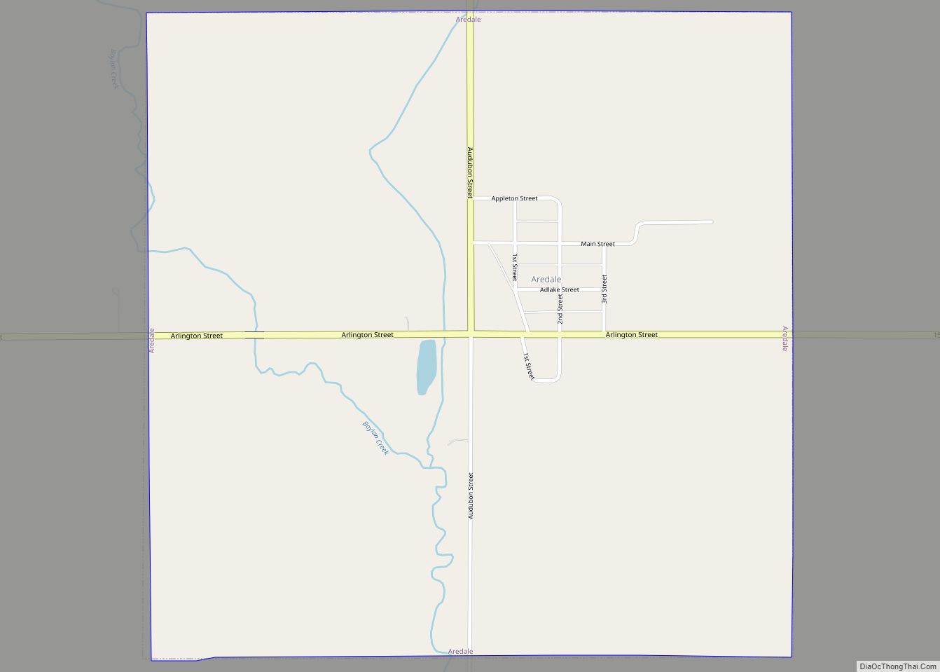
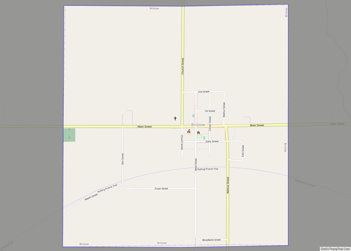
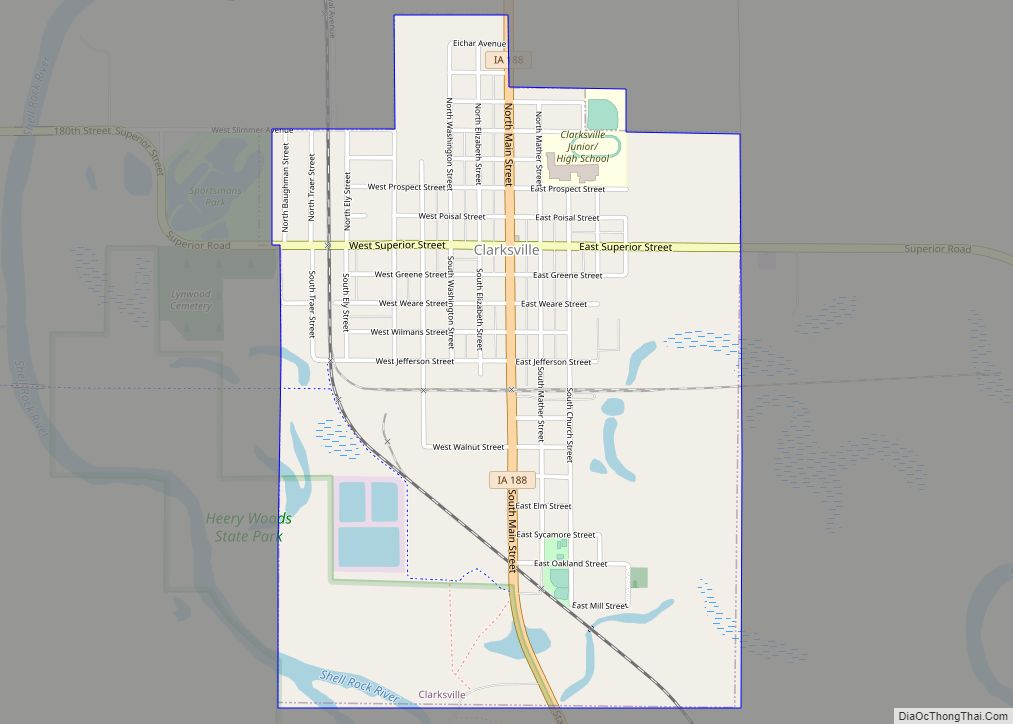
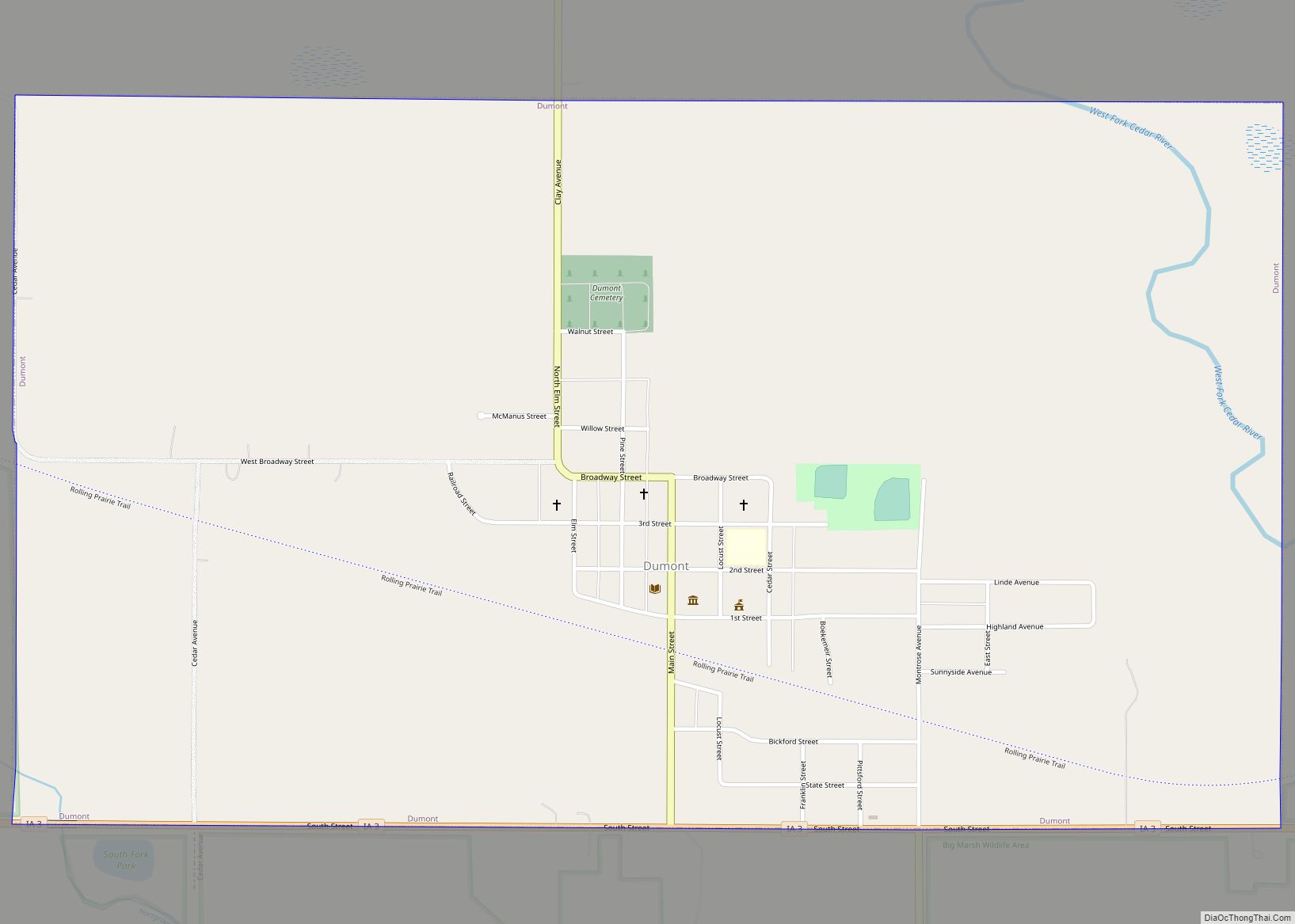
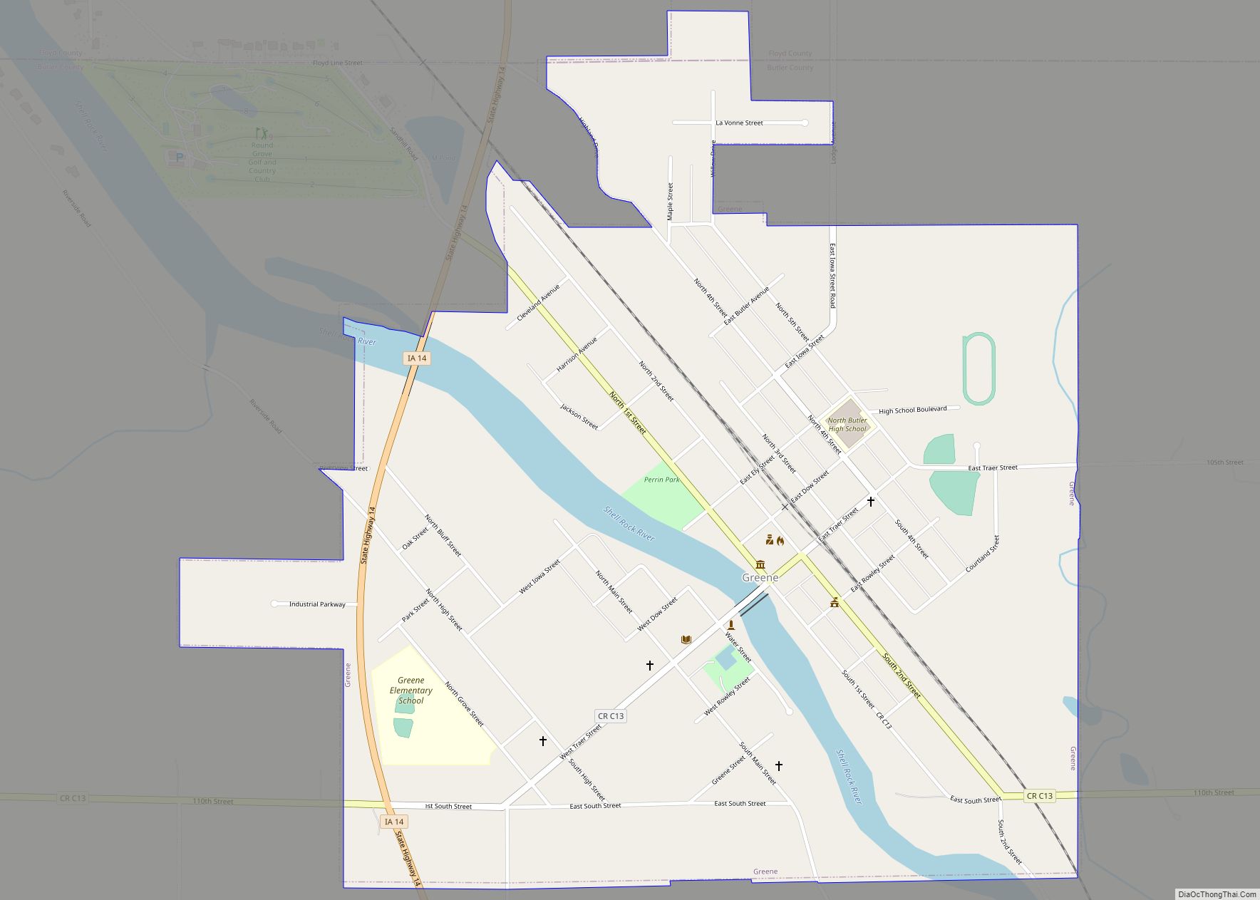
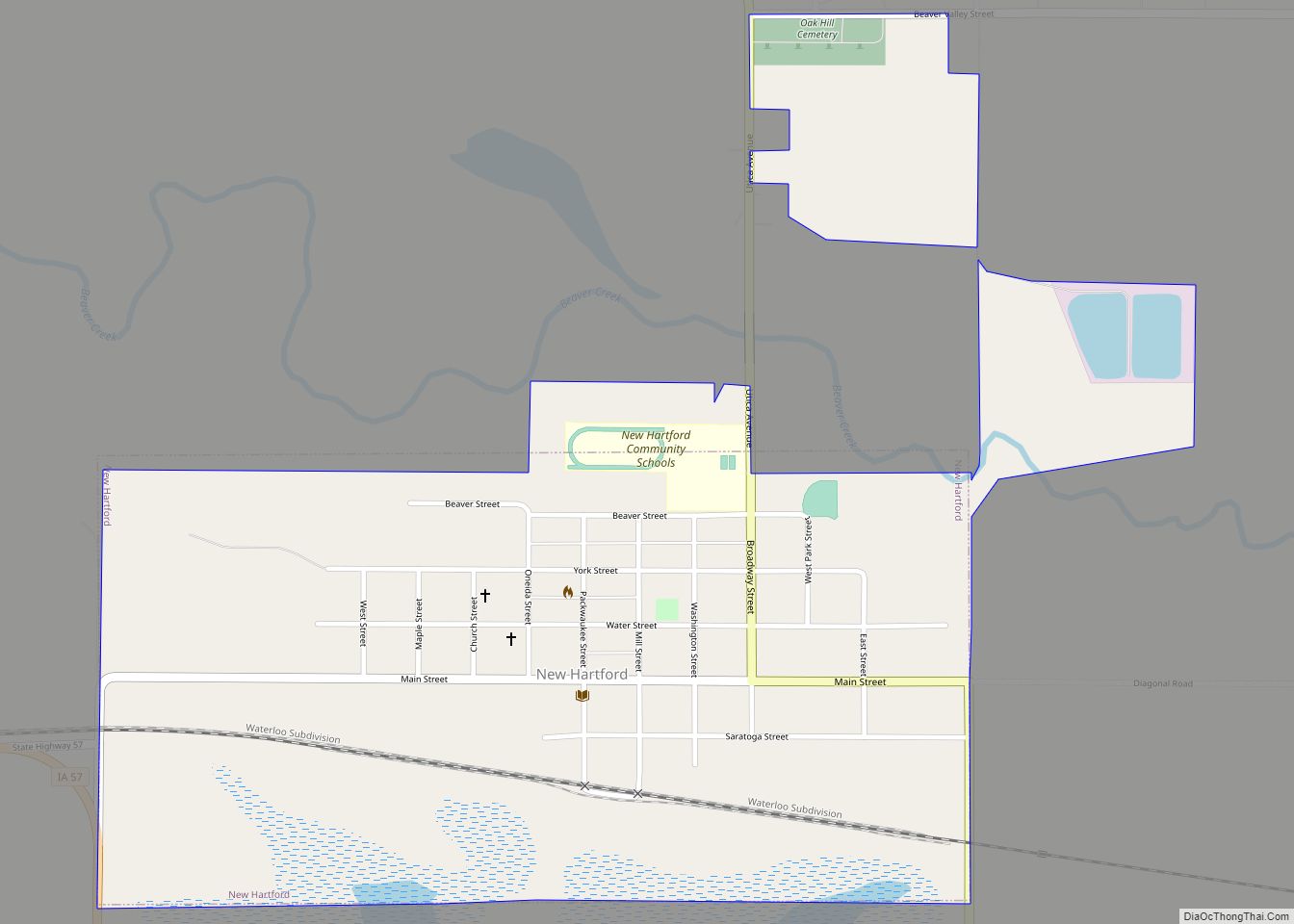
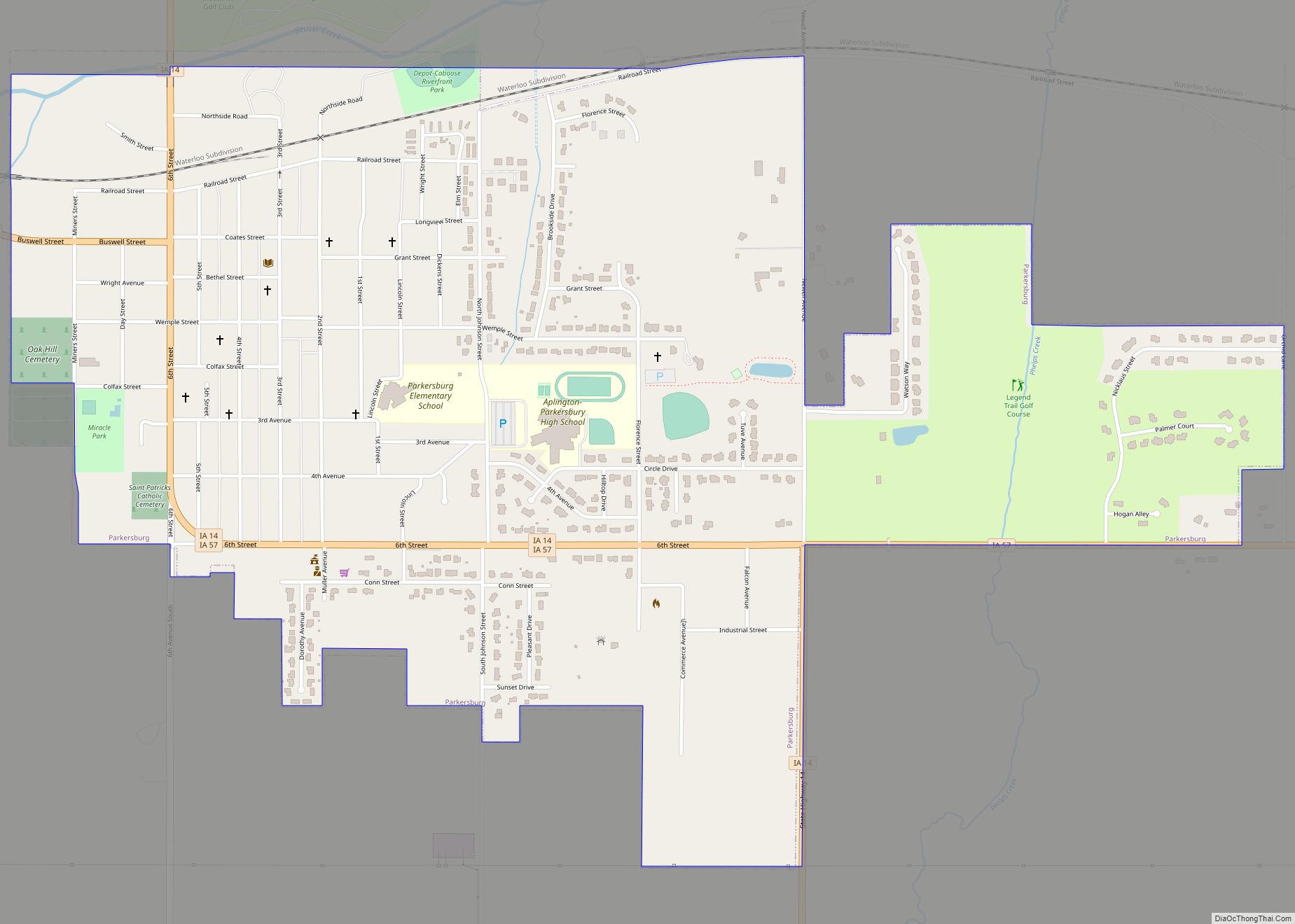
Online Interactive Map
Click on ![]() to view map in "full screen" mode.
to view map in "full screen" mode.
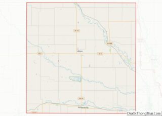
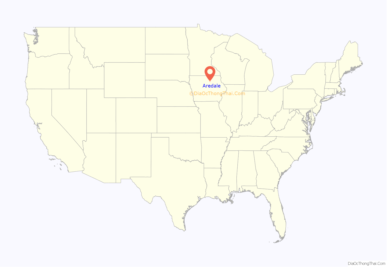
Aredale location map. Where is Aredale city?
History
The town of Aredale owes its conception to cheese. The area surrounding the town had seen increasing settlement since the 1860s, and in 1890, the local dairy farmers pooled their resources to create a cheese making factory, which eventually helped the town develop enough to warrant the community its own post office and thus township rights.
The name Aredale is derived from a variation on the Pennsylvania town of Airville, from which several Aredale residents had emigrated. The plat was recorded on June 28, 1900, by the Iowa and Minnesota Town Site Company. June 28 later was observed as Field Day by residents, and featured a town celebration and a baseball game visited by hundreds of people from nearby towns.
Soon the town featured a number of competing lumberyards and stockyards, and the Aredale Savings and Loan was constructed in 1901. That same year, the First Methodist Church was organized, and purchased the Coldwater Methodist Church building, which was then moved in town. It was destroyed by fire in 1923 and replaced by a new building.
In 1953, a train wreck destroyed the town depot, and no new one is forthcoming.
In the race for mayor on November 8, 2011, the Butler County elections office results showed that a senior at Hampton–Dumont High School was elected. Jeremy Minnier, age 18, won with 24[write-in votes. Incumbent Mayor Virgil Homer received eight votes.
In April 2012. mayor Jeremy Minnier appeared on The Tonight Show with Jay Leno. Minnier discussed life in the small town and displayed photos. Host Leno and show guest Mel Gibson presented Minnier with a new town sign.
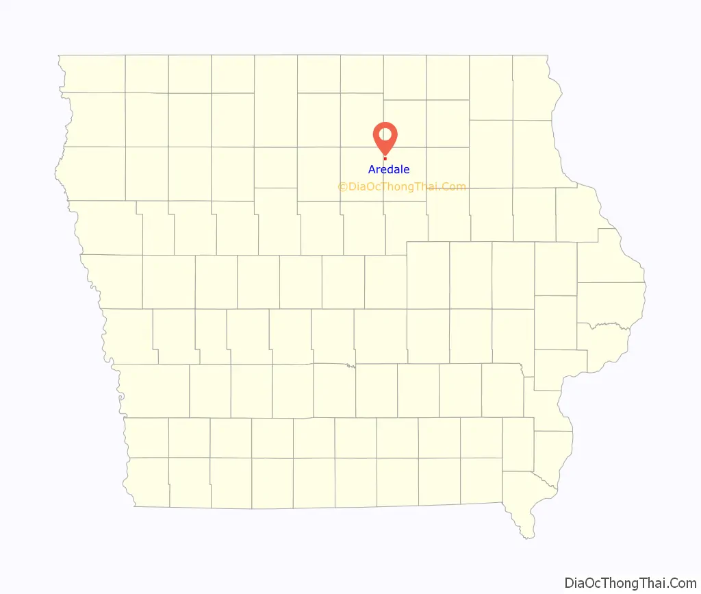
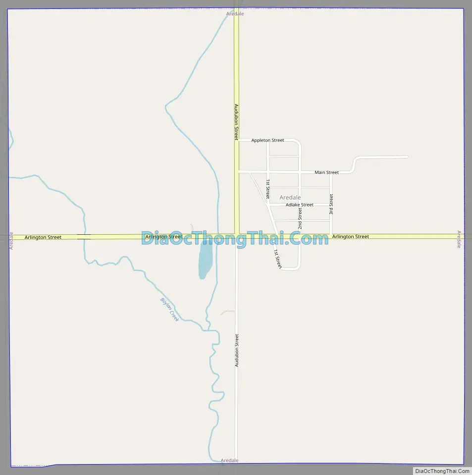
Aredale Road Map
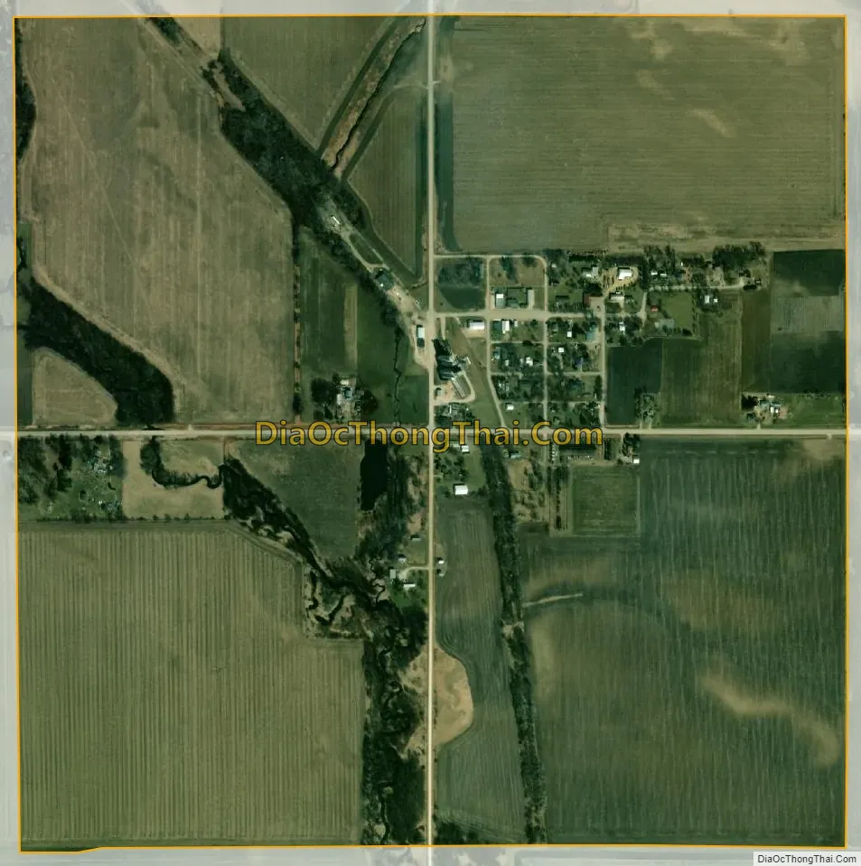
Aredale city Satellite Map
Geography
Aredale is located at 42°50′6″N 93°0′17″W / 42.83500°N 93.00472°W / 42.83500; -93.00472 (42.834907, -93.004744).
According to the United States Census Bureau, the city has a total area of 0.99 square miles (2.56 km), all land.
See also
Map of Iowa State and its subdivision:- Adair
- Adams
- Allamakee
- Appanoose
- Audubon
- Benton
- Black Hawk
- Boone
- Bremer
- Buchanan
- Buena Vista
- Butler
- Calhoun
- Carroll
- Cass
- Cedar
- Cerro Gordo
- Cherokee
- Chickasaw
- Clarke
- Clay
- Clayton
- Clinton
- Crawford
- Dallas
- Davis
- Decatur
- Delaware
- Des Moines
- Dickinson
- Dubuque
- Emmet
- Fayette
- Floyd
- Franklin
- Fremont
- Greene
- Grundy
- Guthrie
- Hamilton
- Hancock
- Hardin
- Harrison
- Henry
- Howard
- Humboldt
- Ida
- Iowa
- Jackson
- Jasper
- Jefferson
- Johnson
- Jones
- Keokuk
- Kossuth
- Lee
- Linn
- Louisa
- Lucas
- Lyon
- Madison
- Mahaska
- Marion
- Marshall
- Mills
- Mitchell
- Monona
- Monroe
- Montgomery
- Muscatine
- O'Brien
- Osceola
- Page
- Palo Alto
- Plymouth
- Pocahontas
- Polk
- Pottawattamie
- Poweshiek
- Ringgold
- Sac
- Scott
- Shelby
- Sioux
- Story
- Tama
- Taylor
- Union
- Van Buren
- Wapello
- Warren
- Washington
- Wayne
- Webster
- Winnebago
- Winneshiek
- Woodbury
- Worth
- Wright
- Alabama
- Alaska
- Arizona
- Arkansas
- California
- Colorado
- Connecticut
- Delaware
- District of Columbia
- Florida
- Georgia
- Hawaii
- Idaho
- Illinois
- Indiana
- Iowa
- Kansas
- Kentucky
- Louisiana
- Maine
- Maryland
- Massachusetts
- Michigan
- Minnesota
- Mississippi
- Missouri
- Montana
- Nebraska
- Nevada
- New Hampshire
- New Jersey
- New Mexico
- New York
- North Carolina
- North Dakota
- Ohio
- Oklahoma
- Oregon
- Pennsylvania
- Rhode Island
- South Carolina
- South Dakota
- Tennessee
- Texas
- Utah
- Vermont
- Virginia
- Washington
- West Virginia
- Wisconsin
- Wyoming