Ayrshire (/ˈɛərʃər/) is a city in Palo Alto County, Iowa, United States. The population was 133 at the 2020 census.
| Name: | Ayrshire city |
|---|---|
| LSAD Code: | 25 |
| LSAD Description: | city (suffix) |
| State: | Iowa |
| County: | Palo Alto County |
| Elevation: | 1,319 ft (402 m) |
| Total Area: | 0.22 sq mi (0.56 km²) |
| Land Area: | 0.22 sq mi (0.56 km²) |
| Water Area: | 0.00 sq mi (0.00 km²) |
| Total Population: | 133 |
| Population Density: | 615.74/sq mi (237.81/km²) |
| ZIP code: | 50515 |
| Area code: | 712 |
| FIPS code: | 1904105 |
| GNISfeature ID: | 0454296 |
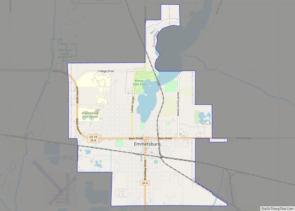
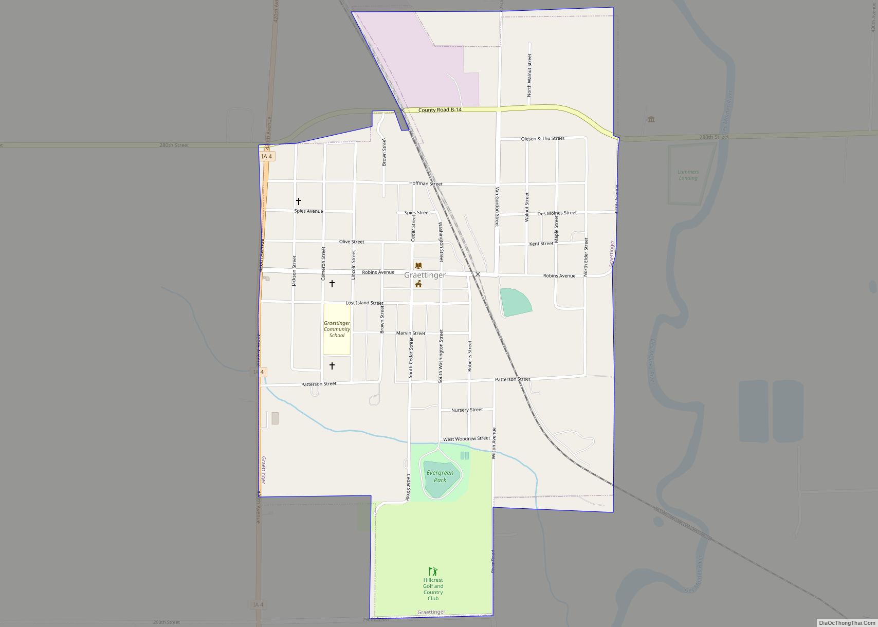
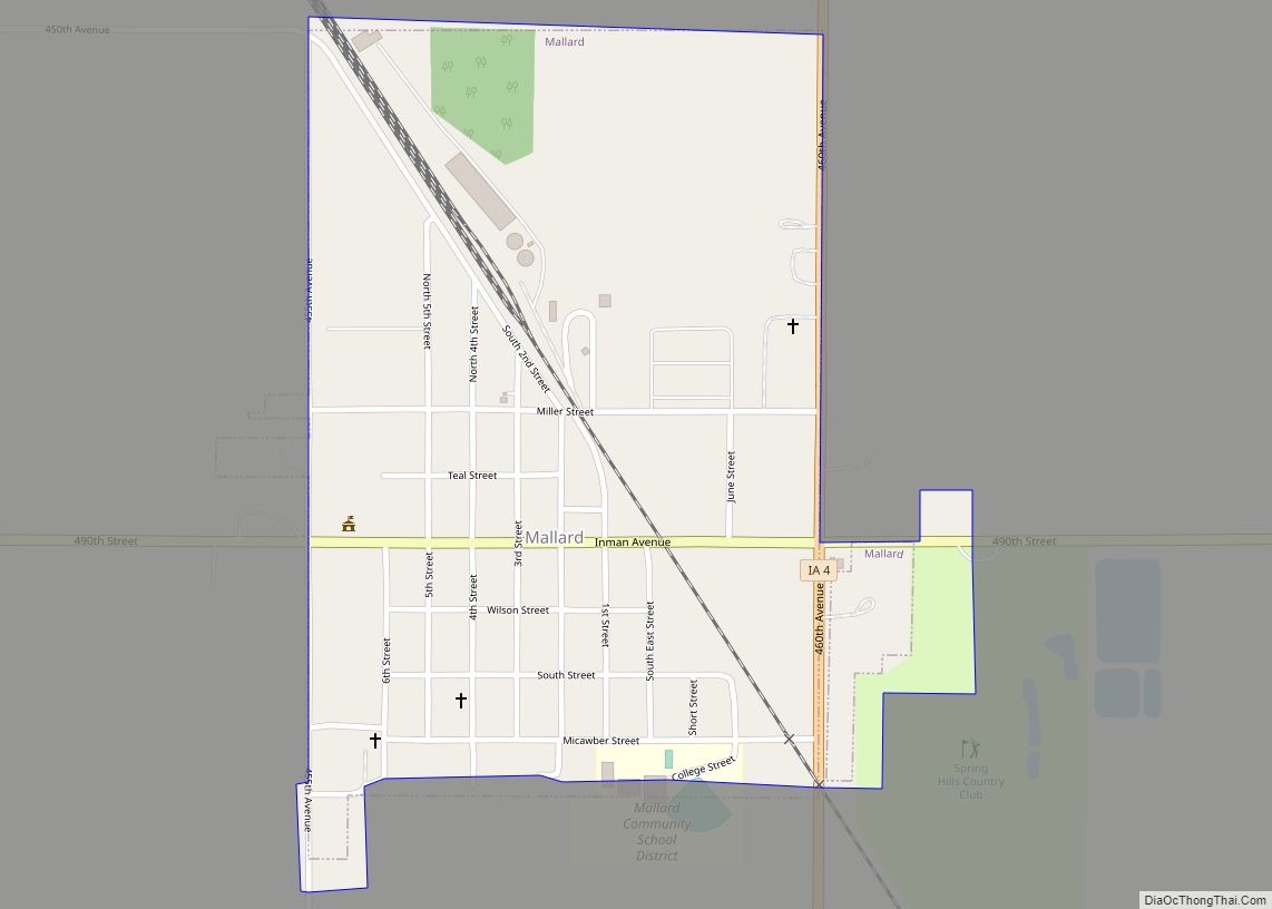
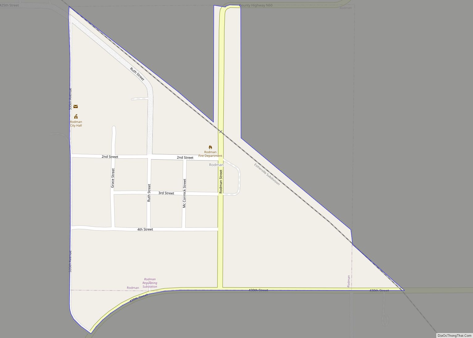
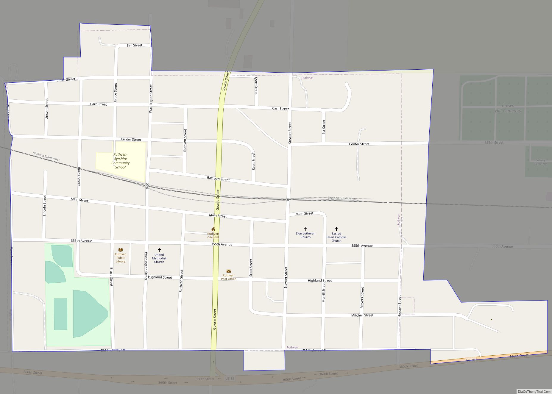
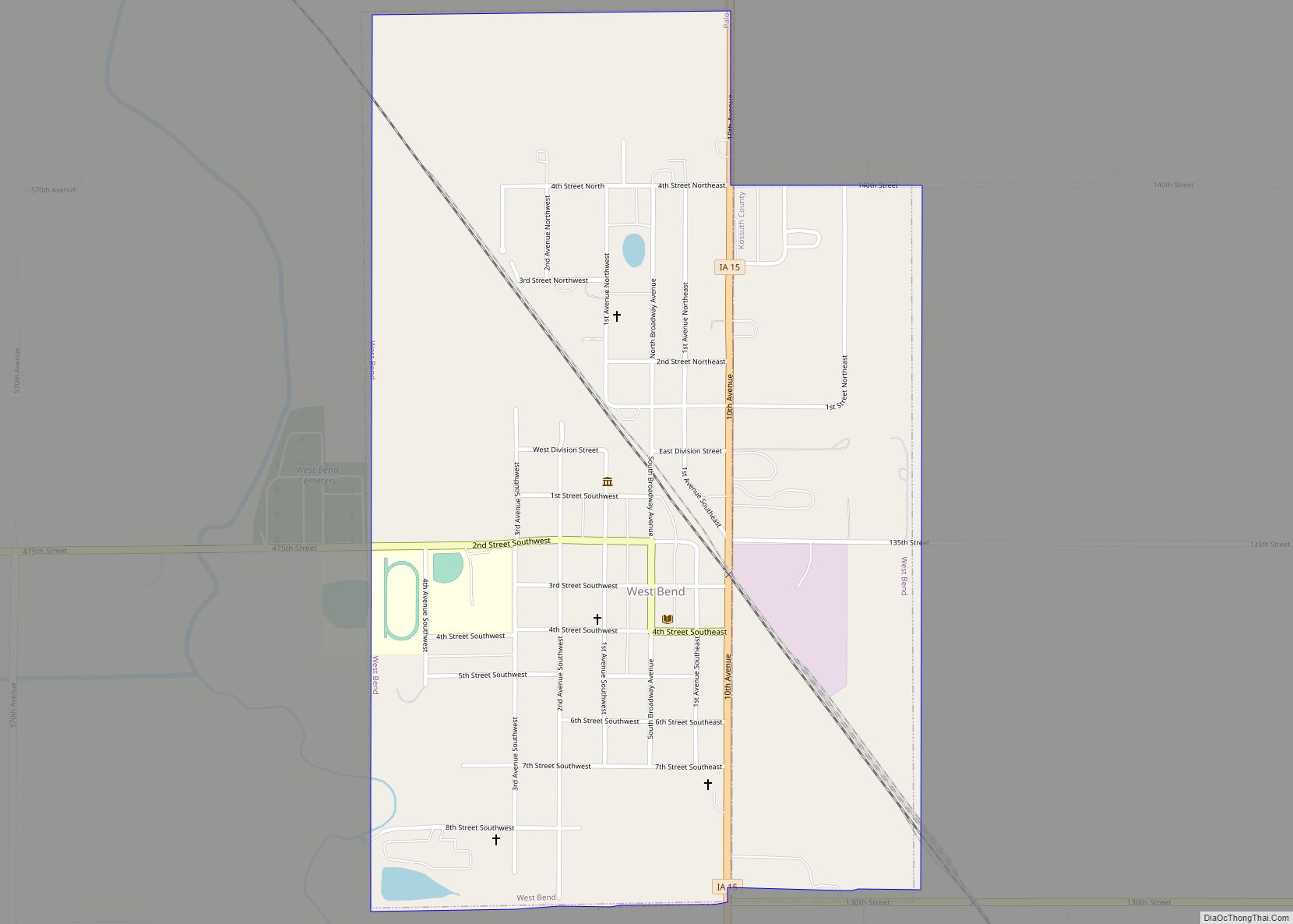
Online Interactive Map
Click on ![]() to view map in "full screen" mode.
to view map in "full screen" mode.
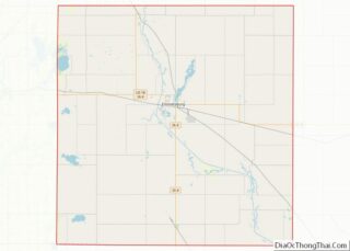
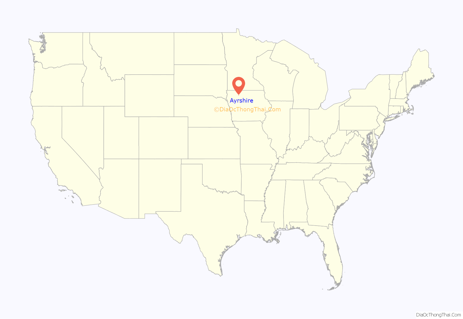
Ayrshire location map. Where is Ayrshire city?
History
In the 1880s the Des Moines and Fort Dodge Railroad (later part of Minneapolis and St. Louis Railway), having reached Fort Dodge, began building to the northwest. In October 1882 the rails reached the location of Ayrshire, and a depot was built the following month. The railroad had acquired 80 acres for a townsite, and by 1883 several businesses had been established.
Ayrshire was incorporated on September 20, 1895.
At one time it had two banks, two grocery stores, blacksmith shop, livery stable, creamery, hotel, at least two barber shops; Lutheran, Catholic, Methodist and Baptist churches; five gas stations, grain elevator, two cafes, a locker plant, a pharmacy, a lumber yard, two beer halls and several other businesses. It had both a Catholic and a public high school. The Catholic high school closed in 1947. The lower grades closed in 1968. The public school closed in the spring of 1982. The public school mascot was the Ayrshire Beavers.
In 1972, the town drew national attention for having the youngest mayor in America. Jody Smith was nineteen when he was elected mayor.
The rail line, by then part of the Chicago and North Western Railway, was abandoned in the 1980s, and torn up.
The town celebrated its Quasquicentennial in 2007.
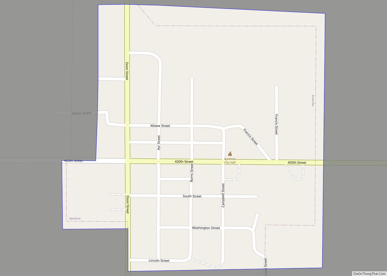
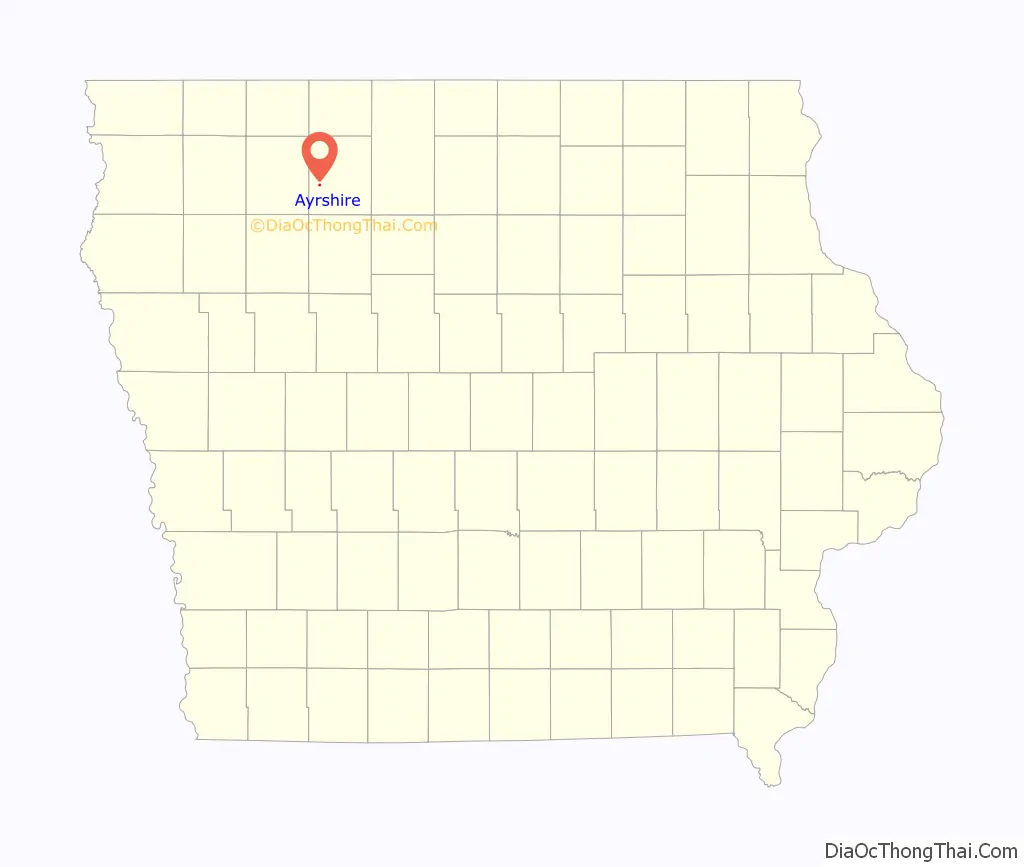
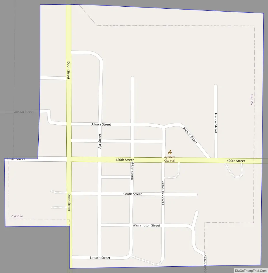
Ayrshire Road Map
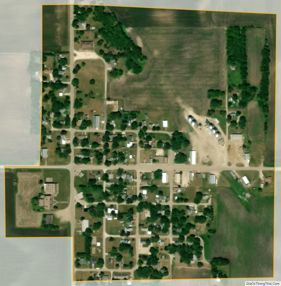
Ayrshire city Satellite Map
Geography
Ayrshire is located at 43°2′19″N 94°50′5″W / 43.03861°N 94.83472°W / 43.03861; -94.83472 (43.038506, -94.834712).
According to the United States Census Bureau, the city has a total area of 0.21 square miles (0.54 km), all land.
See also
Map of Iowa State and its subdivision:- Adair
- Adams
- Allamakee
- Appanoose
- Audubon
- Benton
- Black Hawk
- Boone
- Bremer
- Buchanan
- Buena Vista
- Butler
- Calhoun
- Carroll
- Cass
- Cedar
- Cerro Gordo
- Cherokee
- Chickasaw
- Clarke
- Clay
- Clayton
- Clinton
- Crawford
- Dallas
- Davis
- Decatur
- Delaware
- Des Moines
- Dickinson
- Dubuque
- Emmet
- Fayette
- Floyd
- Franklin
- Fremont
- Greene
- Grundy
- Guthrie
- Hamilton
- Hancock
- Hardin
- Harrison
- Henry
- Howard
- Humboldt
- Ida
- Iowa
- Jackson
- Jasper
- Jefferson
- Johnson
- Jones
- Keokuk
- Kossuth
- Lee
- Linn
- Louisa
- Lucas
- Lyon
- Madison
- Mahaska
- Marion
- Marshall
- Mills
- Mitchell
- Monona
- Monroe
- Montgomery
- Muscatine
- O'Brien
- Osceola
- Page
- Palo Alto
- Plymouth
- Pocahontas
- Polk
- Pottawattamie
- Poweshiek
- Ringgold
- Sac
- Scott
- Shelby
- Sioux
- Story
- Tama
- Taylor
- Union
- Van Buren
- Wapello
- Warren
- Washington
- Wayne
- Webster
- Winnebago
- Winneshiek
- Woodbury
- Worth
- Wright
- Alabama
- Alaska
- Arizona
- Arkansas
- California
- Colorado
- Connecticut
- Delaware
- District of Columbia
- Florida
- Georgia
- Hawaii
- Idaho
- Illinois
- Indiana
- Iowa
- Kansas
- Kentucky
- Louisiana
- Maine
- Maryland
- Massachusetts
- Michigan
- Minnesota
- Mississippi
- Missouri
- Montana
- Nebraska
- Nevada
- New Hampshire
- New Jersey
- New Mexico
- New York
- North Carolina
- North Dakota
- Ohio
- Oklahoma
- Oregon
- Pennsylvania
- Rhode Island
- South Carolina
- South Dakota
- Tennessee
- Texas
- Utah
- Vermont
- Virginia
- Washington
- West Virginia
- Wisconsin
- Wyoming