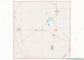
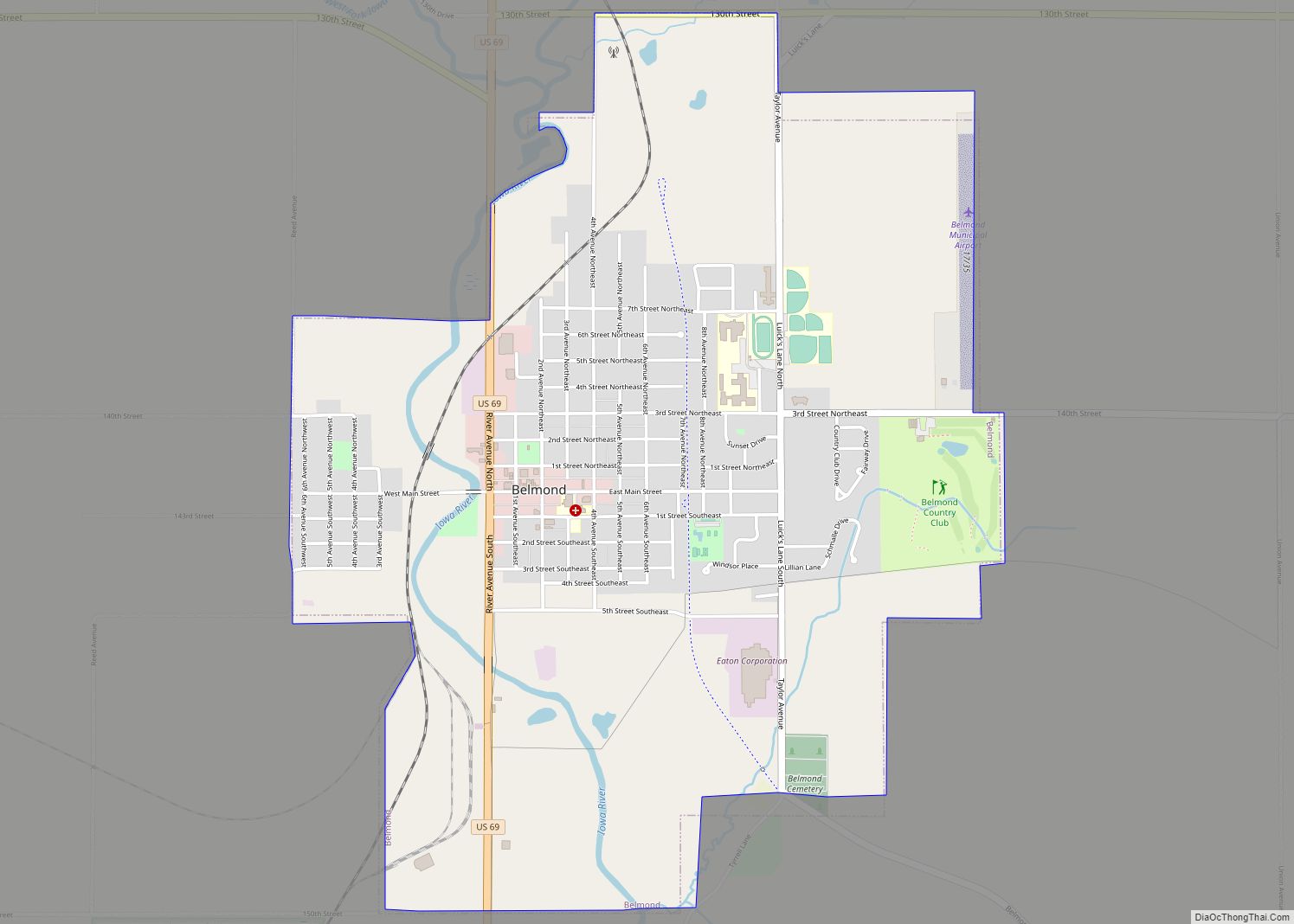
Belmond is a city in Wright County, Iowa, United States. It is located along U.S. Route 69, 14 miles (23 km) by road from Clarion, the county seat. The population was 2,463 in the 2020 census, a decline from 2,560 in 2000.
| Name: | Belmond city |
|---|---|
| LSAD Code: | 25 |
| LSAD Description: | city (suffix) |
| State: | Iowa |
| County: | Wright County |
| Incorporated: | October 21, 1881 |
| Elevation: | 1,178 ft (359 m) |
| Total Area: | 2.83 sq mi (7.34 km²) |
| Land Area: | 2.83 sq mi (7.34 km²) |
| Water Area: | 0.00 sq mi (0.00 km²) |
| Total Population: | 2,463 |
| Population Density: | 869.40/sq mi (335.72/km²) |
| ZIP code: | 50421 |
| Area code: | 641 |
| FIPS code: | 1905680 |
| GNISfeature ID: | 0454502 |
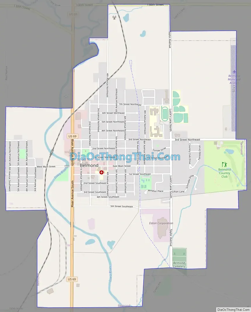
Online Interactive Map
Click on ![]() to view map in "full screen" mode.
to view map in "full screen" mode.
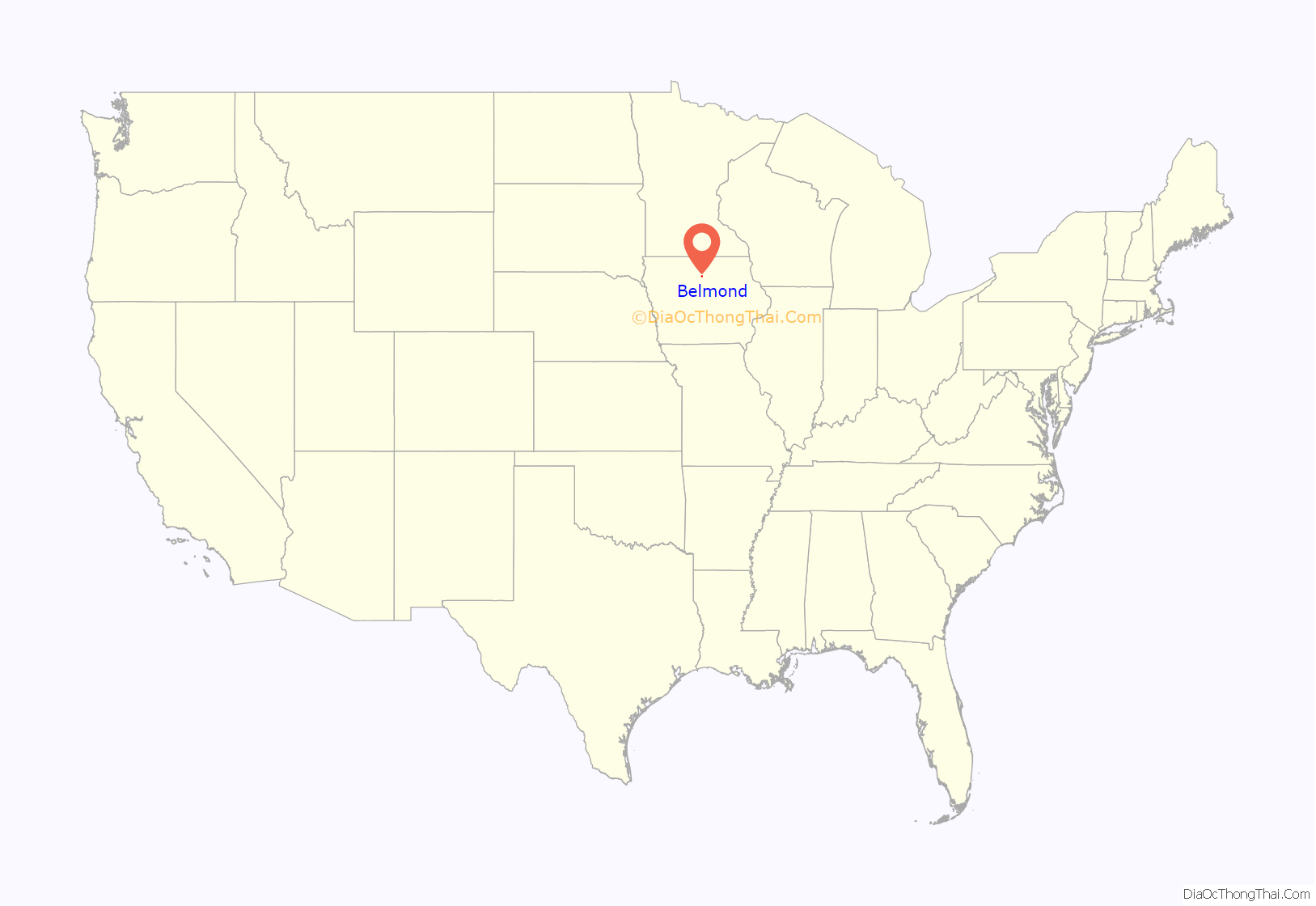
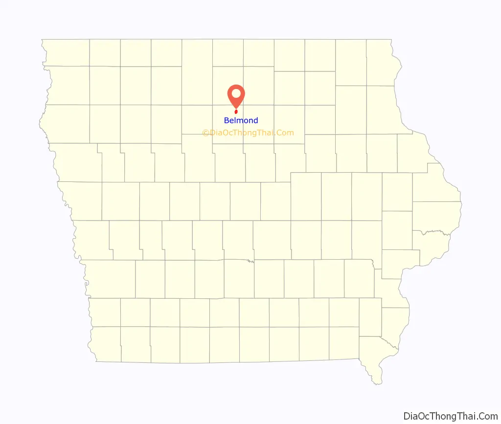
Belmond location map. Where is Belmond city?
History
On October 14, 1966, an F5 tornado ripped apart the community, destroying or damaging about 600 homes and 75 businesses. Six people were killed and large swaths of the town were left in ruins. On June 12, 2013, an EF3 tornado affected the northern sections of town by damaging or destroying several businesses and homes.
Belmond was impacted by major flooding in the June 2008 Midwest floods, along with many other parts of the state of Iowa.
Belmond Road Map
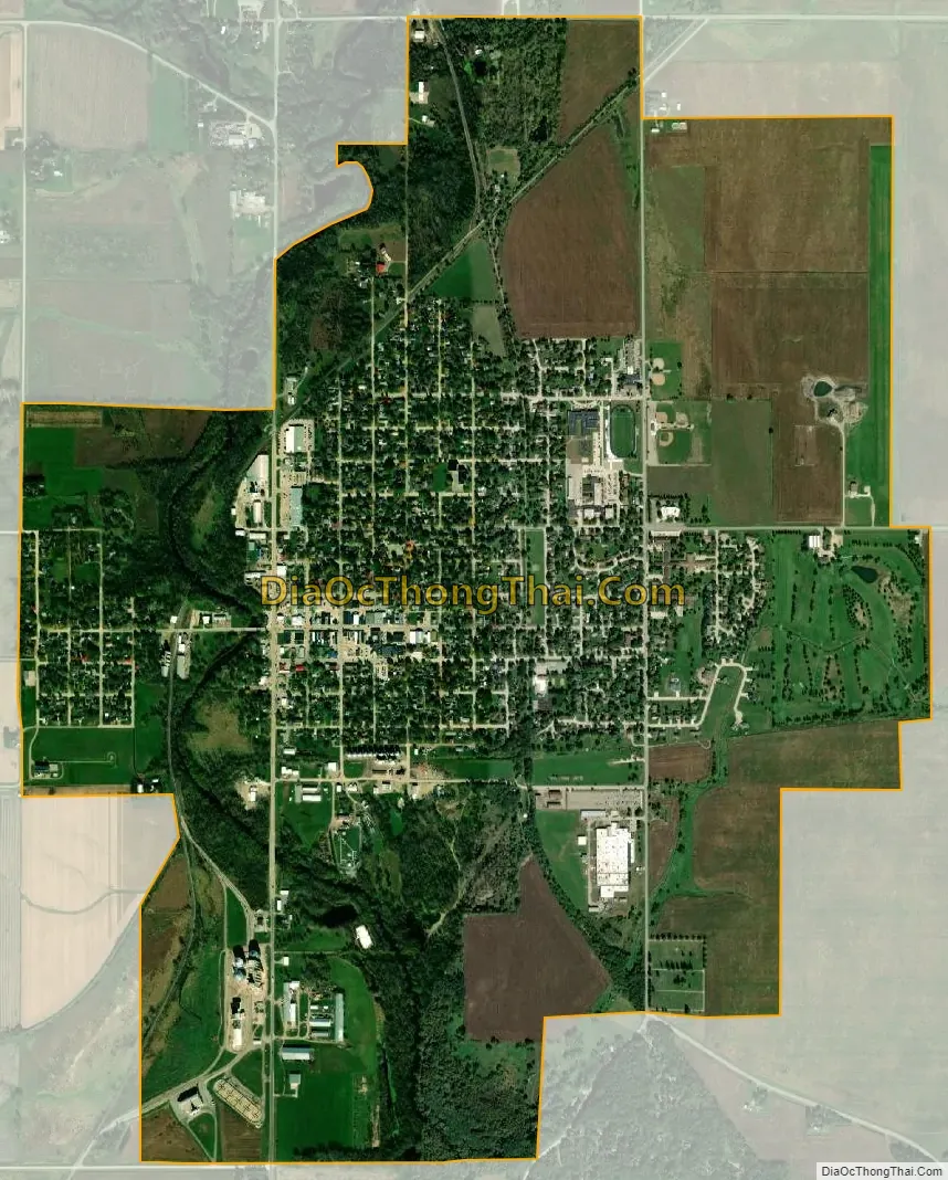
Belmond city Satellite Map
Geography
Belmond is located at 42°50′50″N 93°36′44″W / 42.84722°N 93.61222°W / 42.84722; -93.61222 (42.847242, -93.612335) on the Iowa River.
According to the United States Census Bureau, the city has a total area of 2.85 square miles (7.38 km), all land.
See also
Map of Iowa State and its subdivision:- Adair
- Adams
- Allamakee
- Appanoose
- Audubon
- Benton
- Black Hawk
- Boone
- Bremer
- Buchanan
- Buena Vista
- Butler
- Calhoun
- Carroll
- Cass
- Cedar
- Cerro Gordo
- Cherokee
- Chickasaw
- Clarke
- Clay
- Clayton
- Clinton
- Crawford
- Dallas
- Davis
- Decatur
- Delaware
- Des Moines
- Dickinson
- Dubuque
- Emmet
- Fayette
- Floyd
- Franklin
- Fremont
- Greene
- Grundy
- Guthrie
- Hamilton
- Hancock
- Hardin
- Harrison
- Henry
- Howard
- Humboldt
- Ida
- Iowa
- Jackson
- Jasper
- Jefferson
- Johnson
- Jones
- Keokuk
- Kossuth
- Lee
- Linn
- Louisa
- Lucas
- Lyon
- Madison
- Mahaska
- Marion
- Marshall
- Mills
- Mitchell
- Monona
- Monroe
- Montgomery
- Muscatine
- O'Brien
- Osceola
- Page
- Palo Alto
- Plymouth
- Pocahontas
- Polk
- Pottawattamie
- Poweshiek
- Ringgold
- Sac
- Scott
- Shelby
- Sioux
- Story
- Tama
- Taylor
- Union
- Van Buren
- Wapello
- Warren
- Washington
- Wayne
- Webster
- Winnebago
- Winneshiek
- Woodbury
- Worth
- Wright
- Alabama
- Alaska
- Arizona
- Arkansas
- California
- Colorado
- Connecticut
- Delaware
- District of Columbia
- Florida
- Georgia
- Hawaii
- Idaho
- Illinois
- Indiana
- Iowa
- Kansas
- Kentucky
- Louisiana
- Maine
- Maryland
- Massachusetts
- Michigan
- Minnesota
- Mississippi
- Missouri
- Montana
- Nebraska
- Nevada
- New Hampshire
- New Jersey
- New Mexico
- New York
- North Carolina
- North Dakota
- Ohio
- Oklahoma
- Oregon
- Pennsylvania
- Rhode Island
- South Carolina
- South Dakota
- Tennessee
- Texas
- Utah
- Vermont
- Virginia
- Washington
- West Virginia
- Wisconsin
- Wyoming