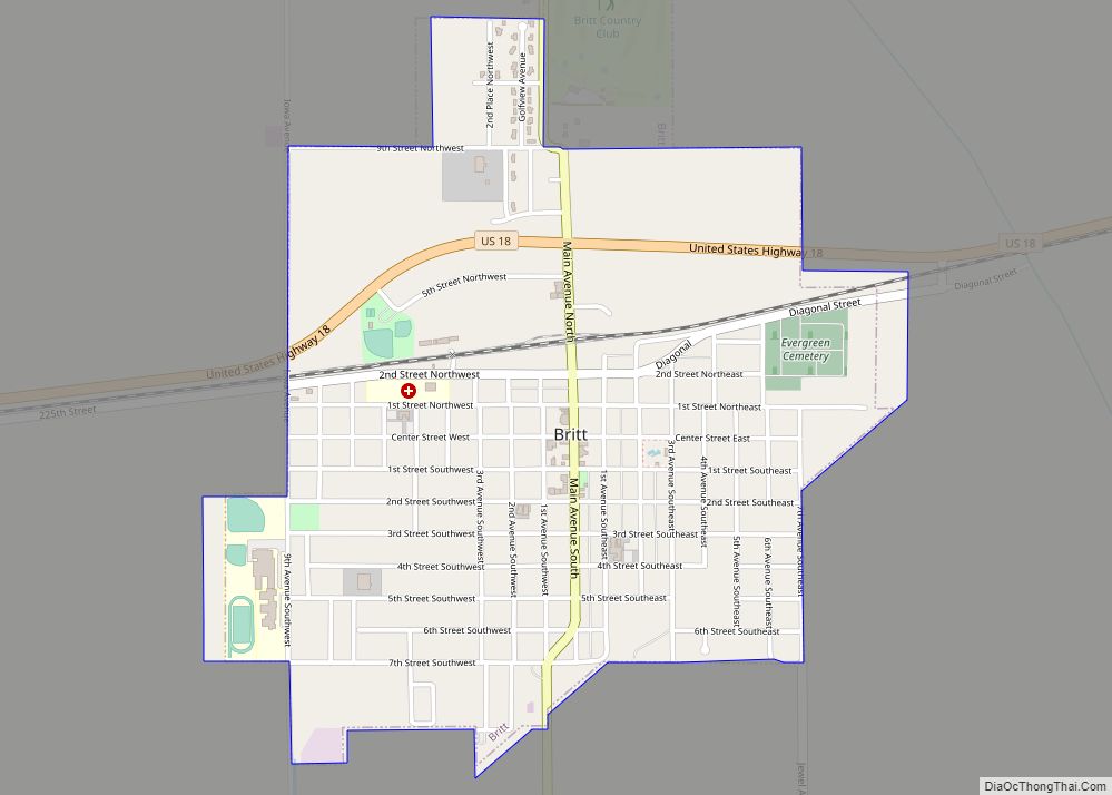
Britt is a city in Hancock County, Iowa, United States, and is the home of the National Hobo Convention and the Hobo Museum. The population was 2,044 at the 2020 census.
| Name: | Britt city |
|---|---|
| LSAD Code: | 25 |
| LSAD Description: | city (suffix) |
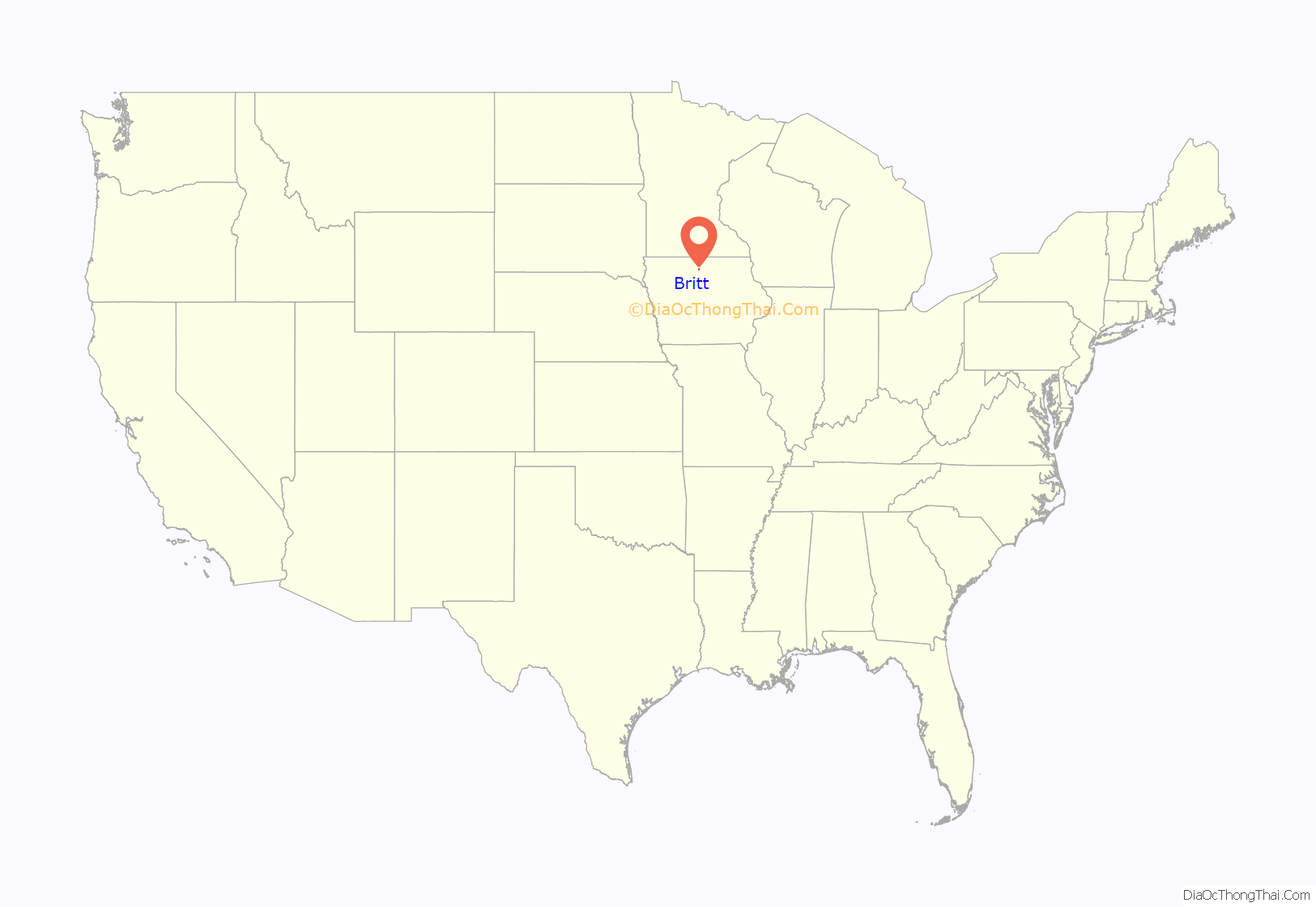
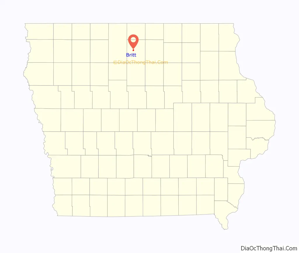
| State: | Iowa |
| County: | Hancock County |
| Elevation: | 1,227 ft (374 m) |
| Total Area: | 1.36 sq mi (3.53 km²) |
| Land Area: | 1.36 sq mi (3.53 km²) |
| Water Area: | 0.00 sq mi (0.00 km²) |
| Total Population: | 2,044 |
| Population Density: | 1,500.73/sq mi (579.28/km²) |
| ZIP code: | 50423 |
| Area code: | 641 |
| FIPS code: | 1908605 |
| GNISfeature ID: | 0454832 |
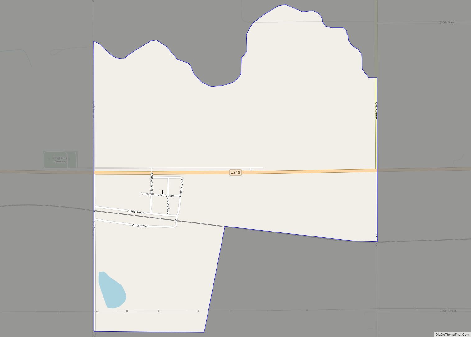
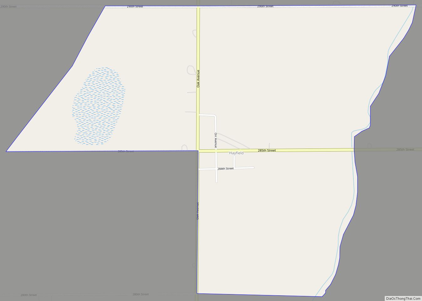
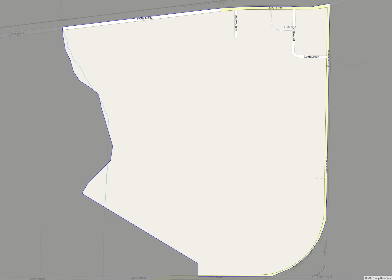
Online Interactive Map
Click on ![]() to view map in "full screen" mode.
to view map in "full screen" mode.
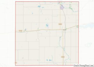
Britt location map. Where is Britt city?
History
A train depot was built at Britt in 1870, with tracks running from east to west through the town. The first train line running through the town was the Chicago, Milwaukee & St. Paul line, followed by the Iowa, Chicago and Eastern line. As of 2019, the Canadian Pacific Railway runs through the town, mostly carrying grain.
Britt was platted in 1878. It is believed to be named for a railroad engineer or brakeman. Britt was incorporated as a city on June 23, 1881.
Hobos have convened in Britt since 1900 for the National Hobo Convention, which celebrates the history of hobos and their way of life through contests, craft shows, communal eating, and a parade.
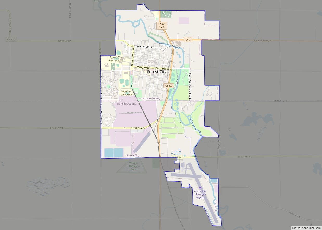
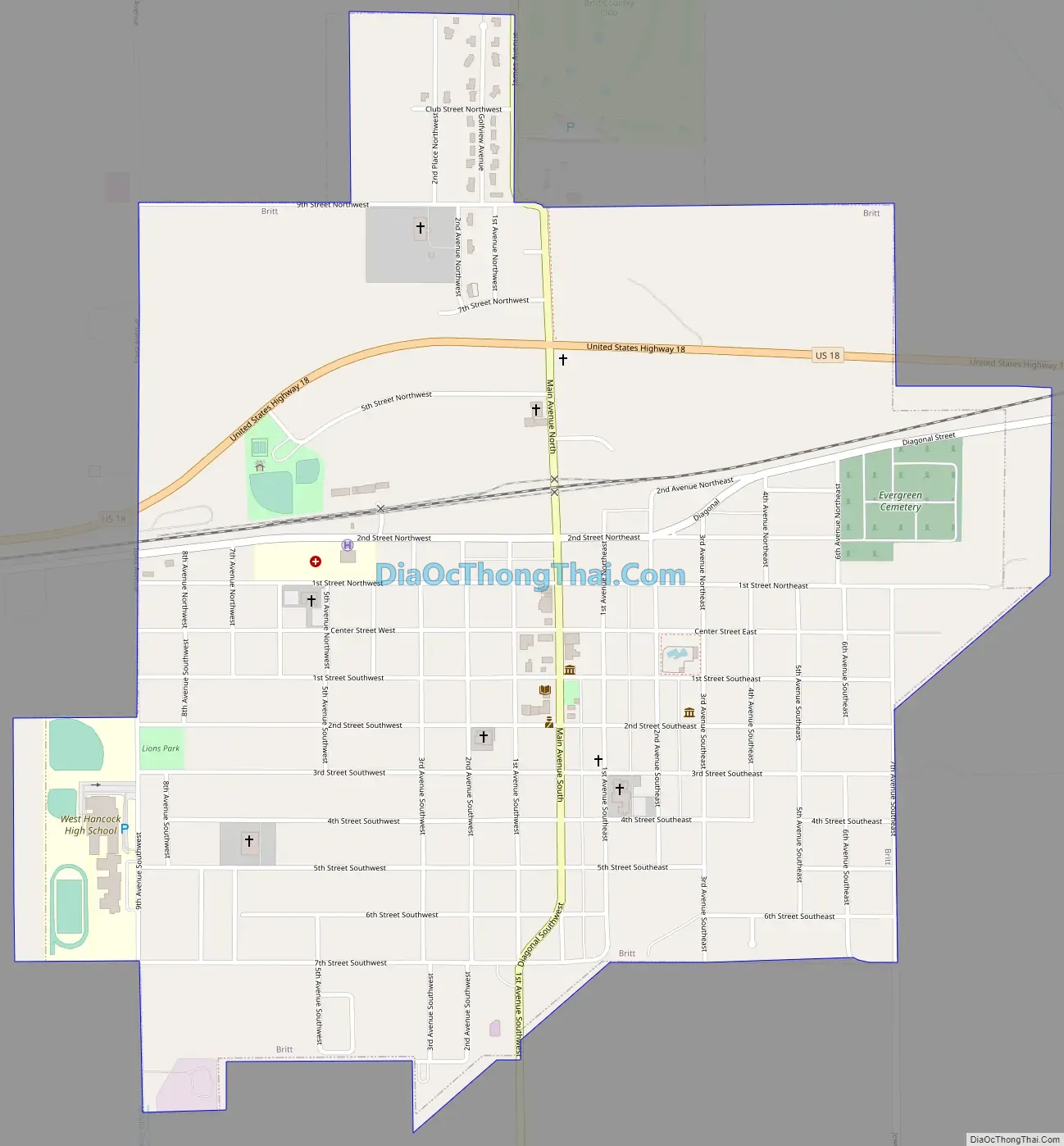
Britt Road Map
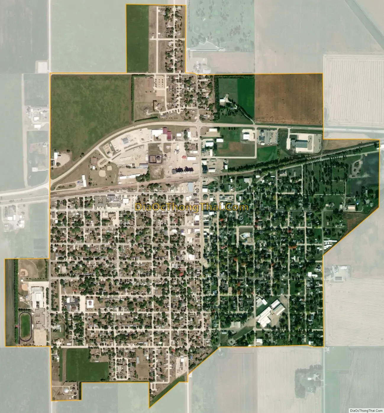
Britt city Satellite Map
Geography
Britt is located at 43°5′47″N 93°48′4″W / 43.09639°N 93.80111°W / 43.09639; -93.80111 (43.096363, -93.801234).
According to the United States Census Bureau, the city has a total area of 1.26 square miles (3.26 km), all land.
See also
Map of Iowa State and its subdivision:- Adair
- Adams
- Allamakee
- Appanoose
- Audubon
- Benton
- Black Hawk
- Boone
- Bremer
- Buchanan
- Buena Vista
- Butler
- Calhoun
- Carroll
- Cass
- Cedar
- Cerro Gordo
- Cherokee
- Chickasaw
- Clarke
- Clay
- Clayton
- Clinton
- Crawford
- Dallas
- Davis
- Decatur
- Delaware
- Des Moines
- Dickinson
- Dubuque
- Emmet
- Fayette
- Floyd
- Franklin
- Fremont
- Greene
- Grundy
- Guthrie
- Hamilton
- Hancock
- Hardin
- Harrison
- Henry
- Howard
- Humboldt
- Ida
- Iowa
- Jackson
- Jasper
- Jefferson
- Johnson
- Jones
- Keokuk
- Kossuth
- Lee
- Linn
- Louisa
- Lucas
- Lyon
- Madison
- Mahaska
- Marion
- Marshall
- Mills
- Mitchell
- Monona
- Monroe
- Montgomery
- Muscatine
- O'Brien
- Osceola
- Page
- Palo Alto
- Plymouth
- Pocahontas
- Polk
- Pottawattamie
- Poweshiek
- Ringgold
- Sac
- Scott
- Shelby
- Sioux
- Story
- Tama
- Taylor
- Union
- Van Buren
- Wapello
- Warren
- Washington
- Wayne
- Webster
- Winnebago
- Winneshiek
- Woodbury
- Worth
- Wright
- Alabama
- Alaska
- Arizona
- Arkansas
- California
- Colorado
- Connecticut
- Delaware
- District of Columbia
- Florida
- Georgia
- Hawaii
- Idaho
- Illinois
- Indiana
- Iowa
- Kansas
- Kentucky
- Louisiana
- Maine
- Maryland
- Massachusetts
- Michigan
- Minnesota
- Mississippi
- Missouri
- Montana
- Nebraska
- Nevada
- New Hampshire
- New Jersey
- New Mexico
- New York
- North Carolina
- North Dakota
- Ohio
- Oklahoma
- Oregon
- Pennsylvania
- Rhode Island
- South Carolina
- South Dakota
- Tennessee
- Texas
- Utah
- Vermont
- Virginia
- Washington
- West Virginia
- Wisconsin
- Wyoming