Center Junction is an unincorporated village and census-designated place (CDP) in Jones County, Iowa, United States. The population was 111 at the 2010 census, at which time it was a city. It is part of the Cedar Rapids Metropolitan Statistical Area.
Center Junction was once an incorporated city, but following a special election that served as a referendum on the plan, the city council voted in 2015 to sell off its assets, disband, and turn administration over to the county. When the council took the action, then-Mayor Sandy Ricklefs cited the town’s ailing finances as the primary reason for disbanding.
| Name: | Center Junction CDP |
|---|---|
| LSAD Code: | 57 |
| LSAD Description: | CDP (suffix) |
| State: | Iowa |
| County: | Jones County |
| Elevation: | 909 ft (277 m) |
| Total Area: | 0.73 sq mi (1.90 km²) |
| Land Area: | 0.73 sq mi (1.90 km²) |
| Water Area: | 0.00 sq mi (0.00 km²) |
| Total Population: | 100 |
| Population Density: | 136.24/sq mi (52.58/km²) |
| ZIP code: | 52212 |
| Area code: | 563 |
| FIPS code: | 1912225 |
| GNISfeature ID: | 0455289 |
Online Interactive Map
Click on ![]() to view map in "full screen" mode.
to view map in "full screen" mode.
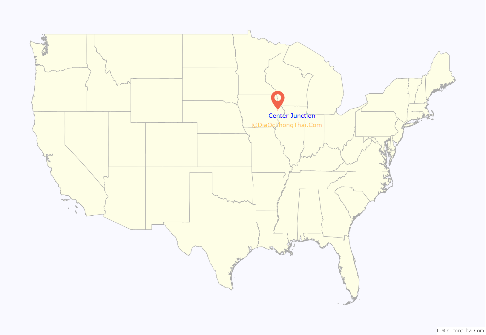
Center Junction location map. Where is Center Junction CDP?
History
Center Junction was laid out in 1871. The town promoters hoped the place would become a junction near the geographical center of Jones County, hence the name. There was a junction between the Chicago & North Western Railway and the Chicago, Minneapolis, St. Paul & Pacific Railway at Center Junction for many years. The Chicago & North Western discontinued service on the line in 1951.
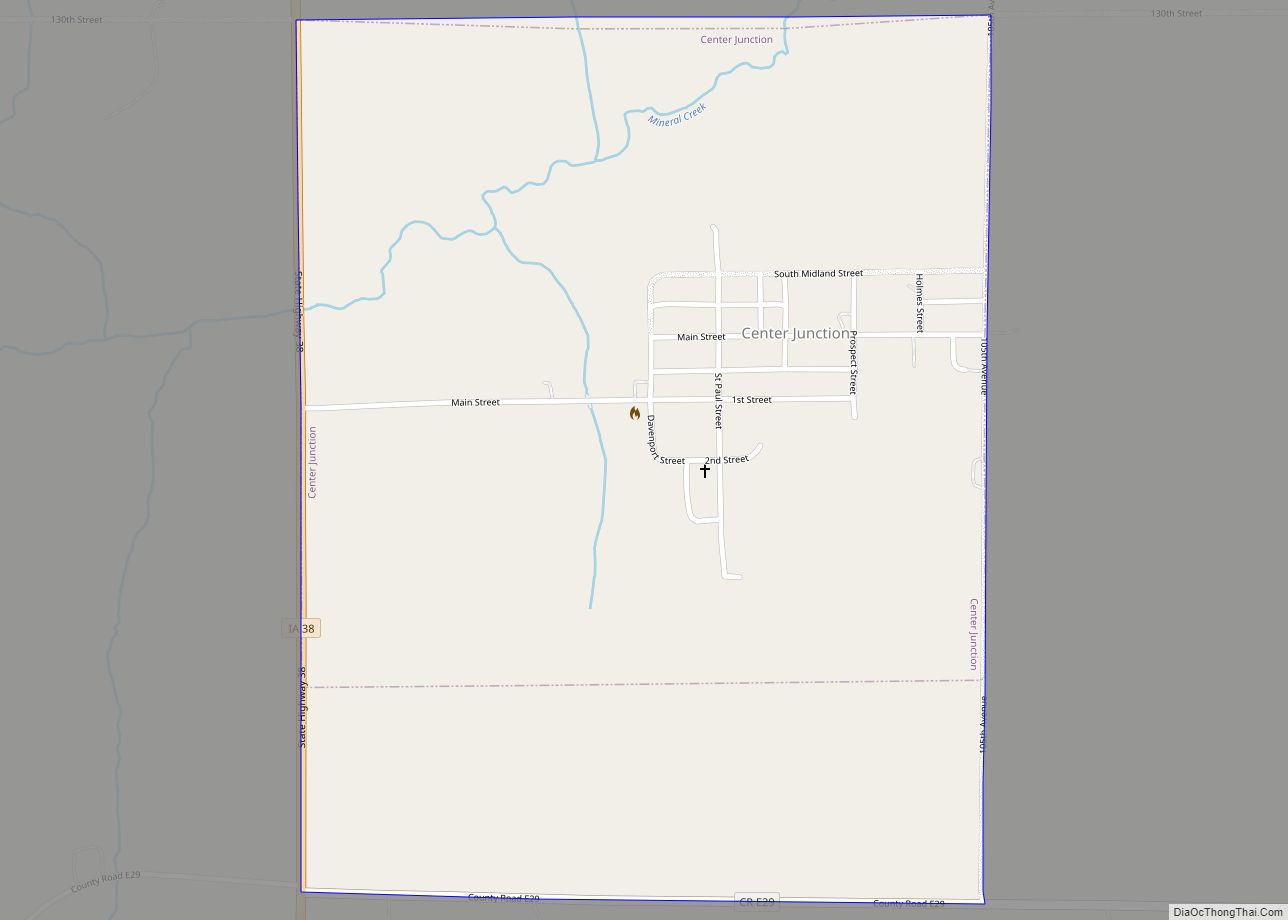
Center Junction Road Map
Center Junction city Satellite Map
Geography
Center Junction is located at 42°6′59″N 91°5′17″W / 42.11639°N 91.08806°W / 42.11639; -91.08806Coordinates: 42°6′59″N 91°5′17″W / 42.11639°N 91.08806°W / 42.11639; -91.08806 (42.116326, -91.088070).
According to the United States Census Bureau, the city has a total area of 0.55 square miles (1.42 km), all land.
See also
Map of Iowa State and its subdivision:- Adair
- Adams
- Allamakee
- Appanoose
- Audubon
- Benton
- Black Hawk
- Boone
- Bremer
- Buchanan
- Buena Vista
- Butler
- Calhoun
- Carroll
- Cass
- Cedar
- Cerro Gordo
- Cherokee
- Chickasaw
- Clarke
- Clay
- Clayton
- Clinton
- Crawford
- Dallas
- Davis
- Decatur
- Delaware
- Des Moines
- Dickinson
- Dubuque
- Emmet
- Fayette
- Floyd
- Franklin
- Fremont
- Greene
- Grundy
- Guthrie
- Hamilton
- Hancock
- Hardin
- Harrison
- Henry
- Howard
- Humboldt
- Ida
- Iowa
- Jackson
- Jasper
- Jefferson
- Johnson
- Jones
- Keokuk
- Kossuth
- Lee
- Linn
- Louisa
- Lucas
- Lyon
- Madison
- Mahaska
- Marion
- Marshall
- Mills
- Mitchell
- Monona
- Monroe
- Montgomery
- Muscatine
- O'Brien
- Osceola
- Page
- Palo Alto
- Plymouth
- Pocahontas
- Polk
- Pottawattamie
- Poweshiek
- Ringgold
- Sac
- Scott
- Shelby
- Sioux
- Story
- Tama
- Taylor
- Union
- Van Buren
- Wapello
- Warren
- Washington
- Wayne
- Webster
- Winnebago
- Winneshiek
- Woodbury
- Worth
- Wright
- Alabama
- Alaska
- Arizona
- Arkansas
- California
- Colorado
- Connecticut
- Delaware
- District of Columbia
- Florida
- Georgia
- Hawaii
- Idaho
- Illinois
- Indiana
- Iowa
- Kansas
- Kentucky
- Louisiana
- Maine
- Maryland
- Massachusetts
- Michigan
- Minnesota
- Mississippi
- Missouri
- Montana
- Nebraska
- Nevada
- New Hampshire
- New Jersey
- New Mexico
- New York
- North Carolina
- North Dakota
- Ohio
- Oklahoma
- Oregon
- Pennsylvania
- Rhode Island
- South Carolina
- South Dakota
- Tennessee
- Texas
- Utah
- Vermont
- Virginia
- Washington
- West Virginia
- Wisconsin
- Wyoming
