Centerville is a city in and the county seat of Appanoose County, Iowa, United States. The population was 5,412 in the 2020 census, a decline from 5,924 in 2000. After the turn of the 20th century Centerville’s coal mining industry attracted European immigrants from Sweden, Italy, Croatia, and Albania. Centerville is also home of the largest town square in the state of Iowa.
| Name: | Centerville city |
|---|---|
| LSAD Code: | 25 |
| LSAD Description: | city (suffix) |
| State: | Iowa |
| County: | Appanoose County |
| Elevation: | 1,007 ft (307 m) |
| Total Area: | 4.87 sq mi (12.60 km²) |
| Land Area: | 4.84 sq mi (12.53 km²) |
| Water Area: | 0.03 sq mi (0.08 km²) |
| Total Population: | 5,412 |
| Population Density: | 1,118.88/sq mi (432.00/km²) |
| ZIP code: | 52544 |
| Area code: | 641 |
| FIPS code: | 1912315 |
| GNISfeature ID: | 0455310 |
| Website: | www.centerville-ia.org |
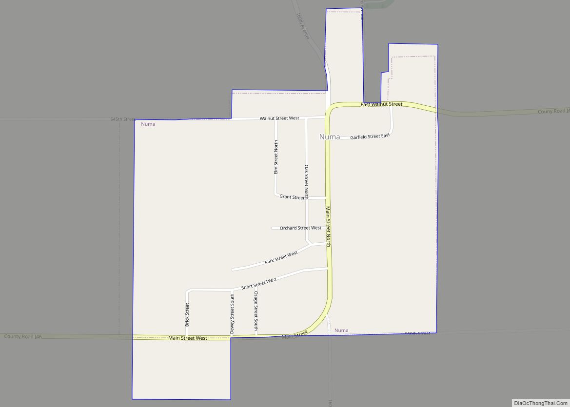
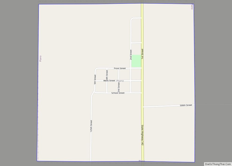
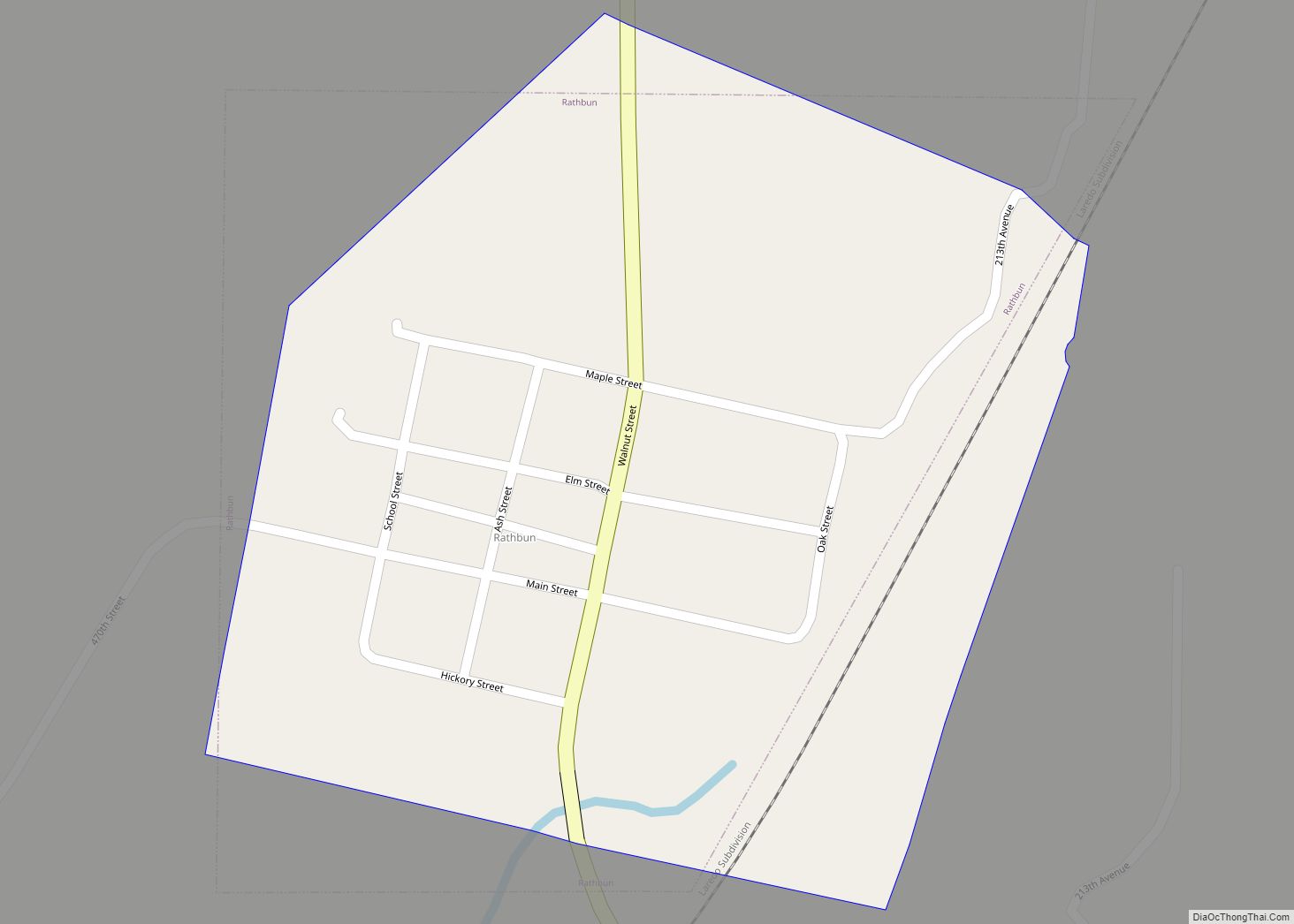
Online Interactive Map
Click on ![]() to view map in "full screen" mode.
to view map in "full screen" mode.
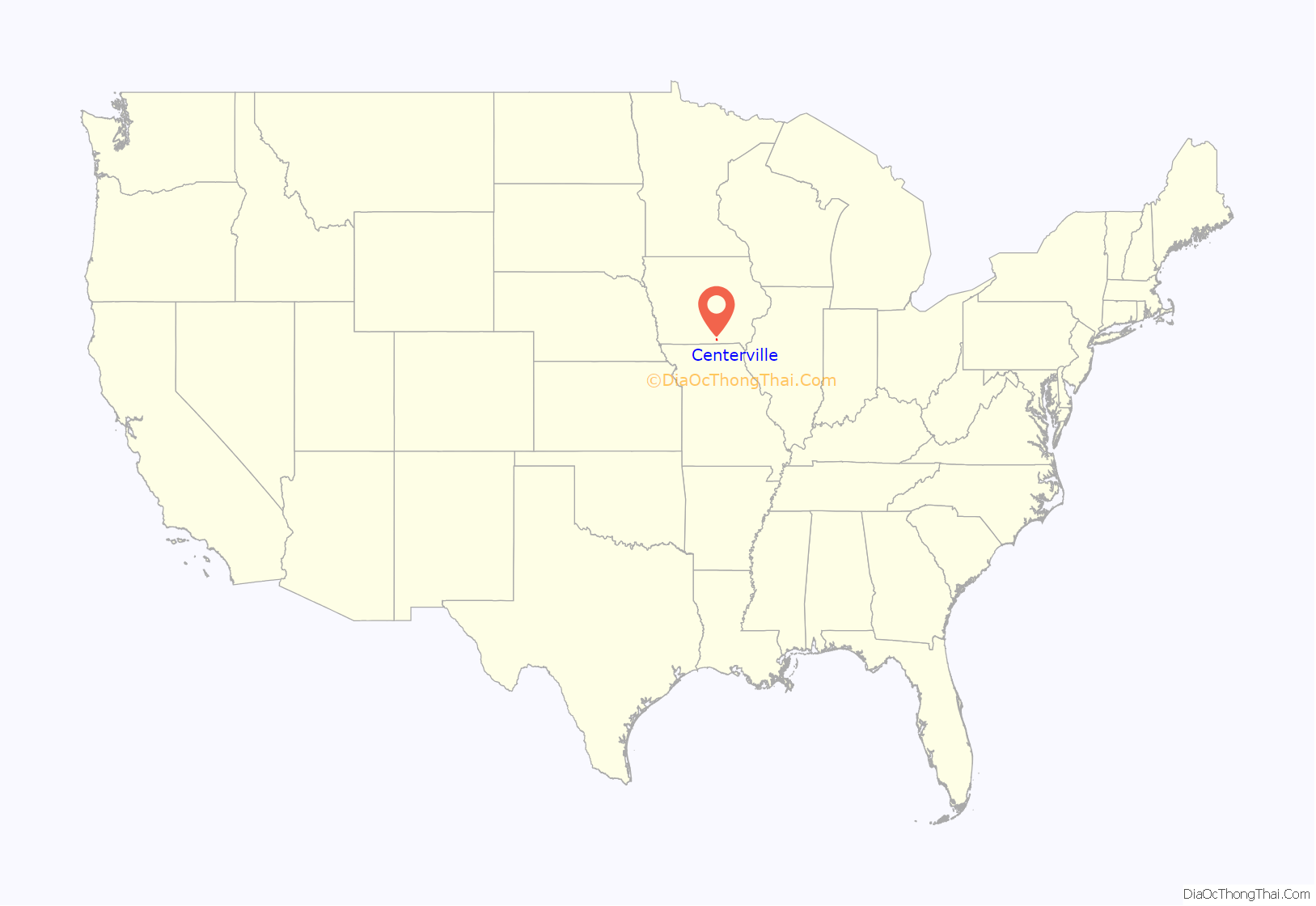
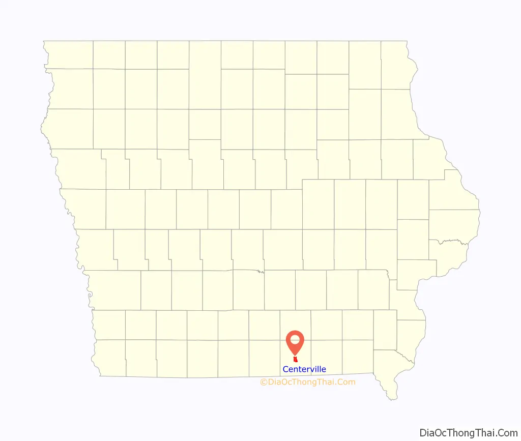
Centerville location map. Where is Centerville city?
History
Founded in 1846 by Jonathon Stratton under the name of “Chaldea,” the city was planned around a unique two-block long city square. The name was later changed to Senterville, named after William Tandy Senter, a prominent Tennessee politician. When incorporation papers were filed in 1855, someone mistook the name for a misspelling and corrected it to Centerville.
A mining town
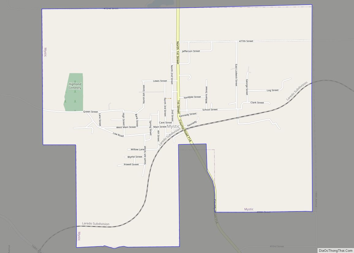
The first coal mine in Centerville was opened in 1868, with its mine shaft about one-half mile from the Chicago, Burlington and Quincy Railroad depot. Horse-power was used to raise coal from the mines until 1872, when the Watson Coal Company opened a mine equipped with a steam hoist. The Centerville Block Coal Company, organized in 1894, consolidated the operation of numerous mines in the region to become the dominant mining company. In 1914, Centerville Block Coal produced over 100,000 tons of coal, ranking among the top 24 coal producers in the state. Centerville Block’s largest competitor, formed around the same time, was the Scandinavian Coal Company, organized by a group of Swedish immigrants. By 1938, coal production in the Centerville region was 600,000 tons per year. The mines were in the Mystic coal bed, 125 feet below ground in Centerville but exposed at the surface in Mystic, 5 miles to the northwest.
Centerville Block Coal’s Relay Mine Number 3 was located on the west side of town (Number 31 on the map). By 1908, the coal face was a mile from the base of the shaft. Mules were used to haul trains of loaded coal tubs to the main haulage way, where they were hauled by a continuous loop of cable the last half mile to the shaft. The coal seam here was about 3 feet thick, and the shaft was 107 feet deep. A centrifugal blower 12 feet in diameter provided ventilation, and compressed air was used to power mining machinery.
Local Assembly 1020 of the Knights of Labor was based in Centerville and had a membership of 150 in 1884. On April 1, 1885, 325 miners in town went on strike, protesting a 20% drop in wages reflecting a decrease in the demand for coal during the summer months. Later, the United Mine Workers of America had a very strong presence in Centerville. In 1912, UMWA Local 553 in Centerville had 1194 members, making it the second largest UMWA local in the country. The largest UMWA local was in Buxton, Iowa.
In 1910, the Scandinavian Coal Company drilled a 550-foot exploratory hole in Centerville, discovering a deposit of gypsum and anhydrite 10 feet thick near the bottom. The Centerville Gypsum Company was formed to exploit this deposit, and between 1912 and 1913, the company bored a shaft down to the gypsum. Water problems delayed the opening of the mine until 1917, and commercial production began in 1919. The mine was closed in the early 1930s.
The Sunshine mine, about 3 miles west of Centerville (number 30 on the map), was very small in 1908, with just a horse-powered hoist at the pit head. By the 1930s, this was a large mine with an attached mining camp and a mountain of mine waste 500 feet long. The Sunshine Mine Drive-In is a theater on the former mine site that opened in 2005, but has since closed and fallen into disrepair.
The post-coal era
Centerville experienced its peak population in the early 1900s as the popularity of coal peaked. After that point, as usage dwindled, the coal industry that had been the community’s life blood collapsed. In the 1950s and 1960s a civic movement to promote new industries began. This effort culminated in the building of Rathbun Dam, near the city of Rathbun, Iowa, forming Rathbun Lake, known as “Iowa’s Ocean”, that was dedicated on July 31, 1971 by President Richard M. Nixon.
In June 2006 the Centerville Daily Iowegian reported that the city’s largest employer, a Rubbermaid plant, that opened in Centerville in 1985, would shut down in September 2006 displacing 500 workers. In 2007, the former Rubbermaid building was purchased by Lee Container, a manufacturer of products made of high density polyethylene plastic resin.
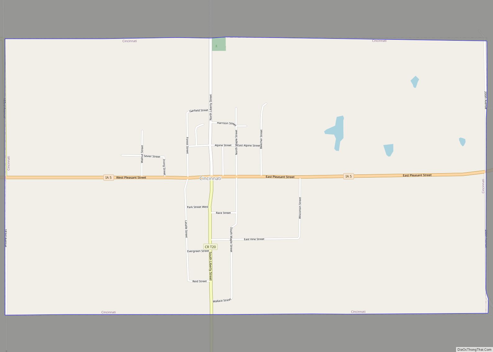
The Southern Iowa Railroad was an electric interurban connecting Centerville to Moravia with a branch to Mystic. The railroad disbanded in 1967. The Appanoose County Community Railroad (APNC) was a short-line railroad founded in 1984, operating on discarded former rail lines, and connecting to the BNSF railroad in Albia. The APNC was succeeded by the Iowa Southern Railway in 2016 and still provides rail service to the city.
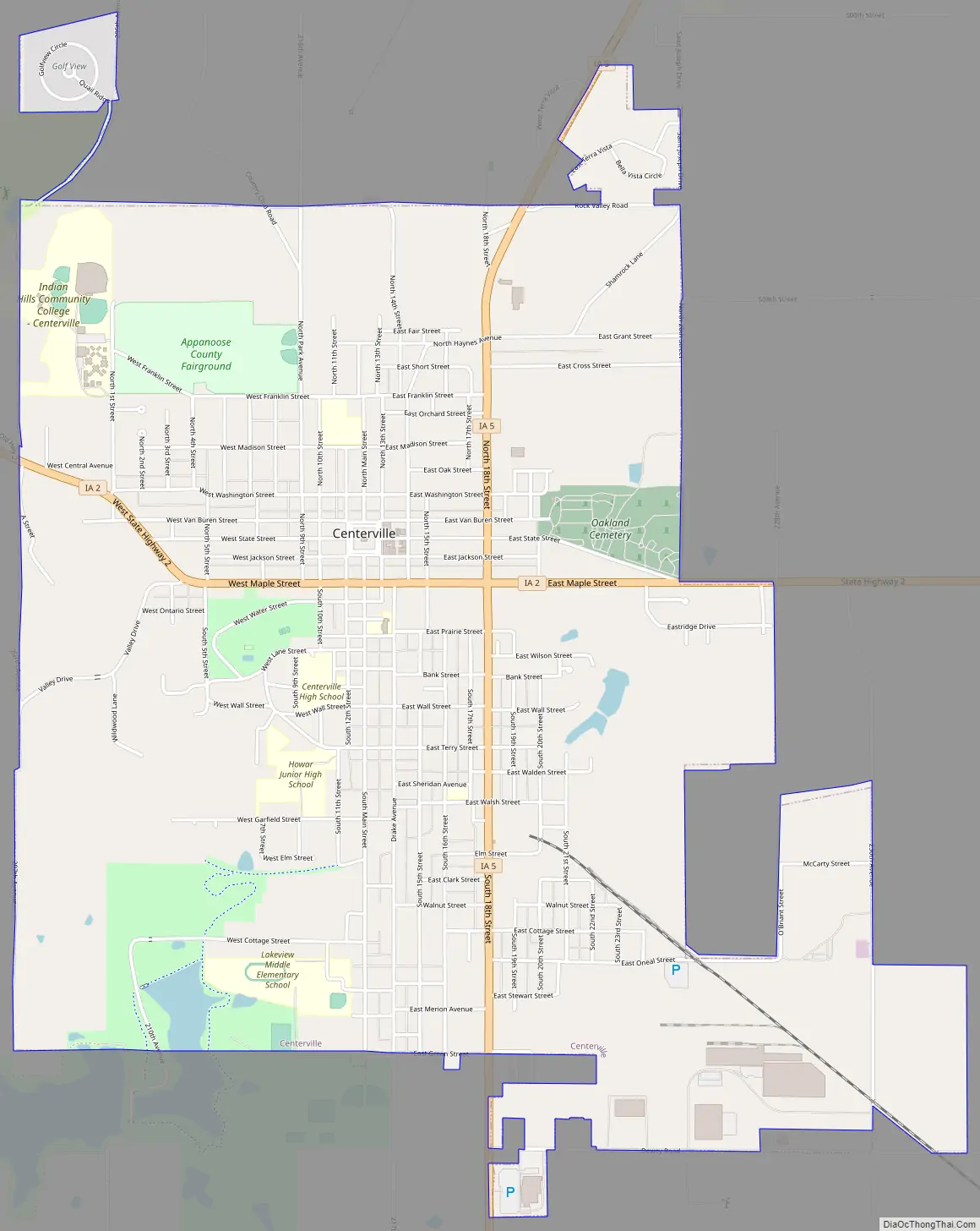
Centerville Road Map
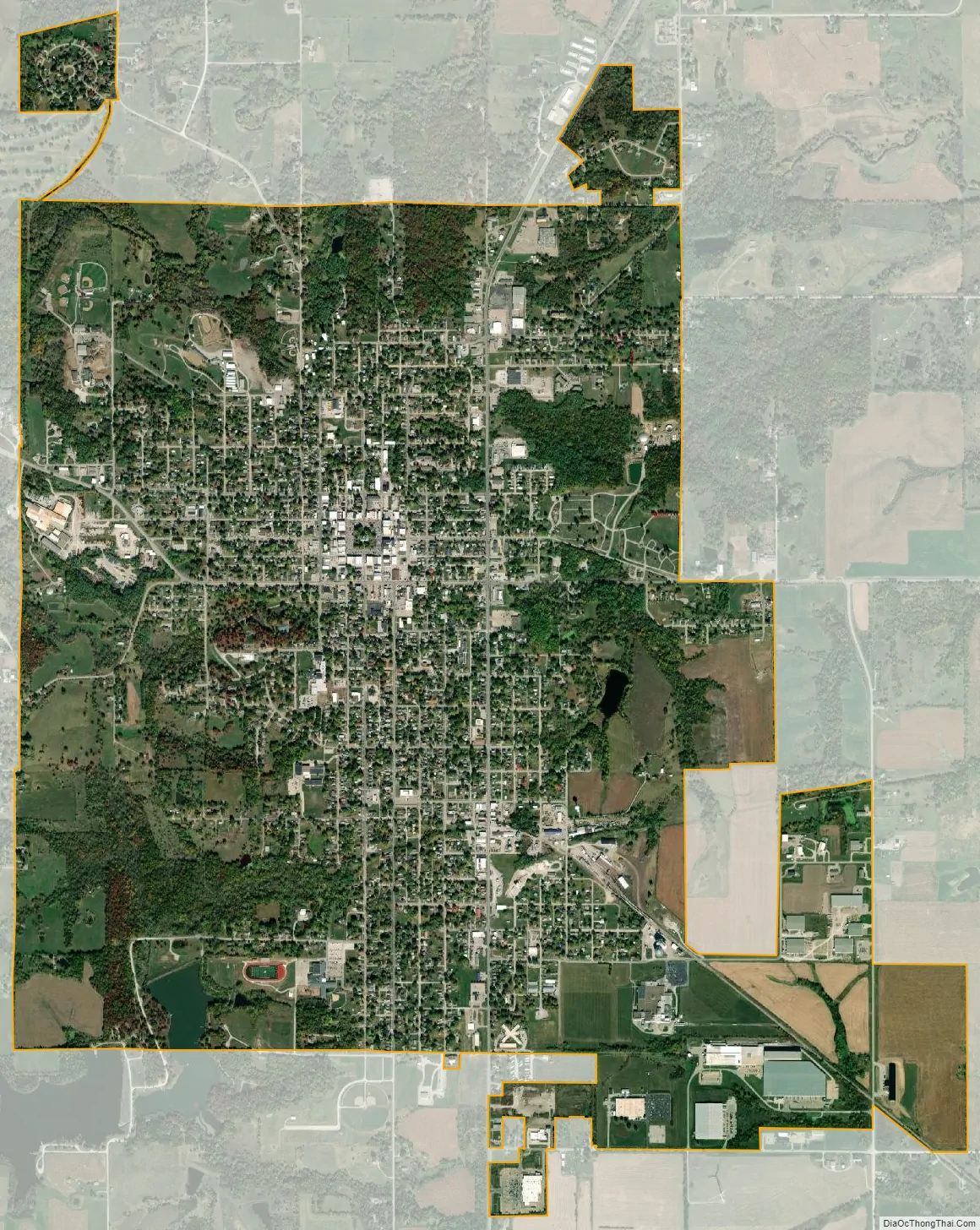
Centerville city Satellite Map
Geography
Centerville is located in south-central Iowa at the junction of Iowa Highway 2 and Iowa Highway 5.
According to the United States Census Bureau, the city has a total area of 4.89 square miles (12.67 km), of which 4.86 square miles (12.59 km) is land and 0.03 square miles (0.08 km) is water.
See also
Map of Iowa State and its subdivision:- Adair
- Adams
- Allamakee
- Appanoose
- Audubon
- Benton
- Black Hawk
- Boone
- Bremer
- Buchanan
- Buena Vista
- Butler
- Calhoun
- Carroll
- Cass
- Cedar
- Cerro Gordo
- Cherokee
- Chickasaw
- Clarke
- Clay
- Clayton
- Clinton
- Crawford
- Dallas
- Davis
- Decatur
- Delaware
- Des Moines
- Dickinson
- Dubuque
- Emmet
- Fayette
- Floyd
- Franklin
- Fremont
- Greene
- Grundy
- Guthrie
- Hamilton
- Hancock
- Hardin
- Harrison
- Henry
- Howard
- Humboldt
- Ida
- Iowa
- Jackson
- Jasper
- Jefferson
- Johnson
- Jones
- Keokuk
- Kossuth
- Lee
- Linn
- Louisa
- Lucas
- Lyon
- Madison
- Mahaska
- Marion
- Marshall
- Mills
- Mitchell
- Monona
- Monroe
- Montgomery
- Muscatine
- O'Brien
- Osceola
- Page
- Palo Alto
- Plymouth
- Pocahontas
- Polk
- Pottawattamie
- Poweshiek
- Ringgold
- Sac
- Scott
- Shelby
- Sioux
- Story
- Tama
- Taylor
- Union
- Van Buren
- Wapello
- Warren
- Washington
- Wayne
- Webster
- Winnebago
- Winneshiek
- Woodbury
- Worth
- Wright
- Alabama
- Alaska
- Arizona
- Arkansas
- California
- Colorado
- Connecticut
- Delaware
- District of Columbia
- Florida
- Georgia
- Hawaii
- Idaho
- Illinois
- Indiana
- Iowa
- Kansas
- Kentucky
- Louisiana
- Maine
- Maryland
- Massachusetts
- Michigan
- Minnesota
- Mississippi
- Missouri
- Montana
- Nebraska
- Nevada
- New Hampshire
- New Jersey
- New Mexico
- New York
- North Carolina
- North Dakota
- Ohio
- Oklahoma
- Oregon
- Pennsylvania
- Rhode Island
- South Carolina
- South Dakota
- Tennessee
- Texas
- Utah
- Vermont
- Virginia
- Washington
- West Virginia
- Wisconsin
- Wyoming