Charles City is a city in and the county seat of Floyd County, Iowa. Charles City is a significant commercial and transportation center for the area. U.S. Routes 18 and 218, Iowa Highway 14, and the Canadian National and Canadian Pacific railroads serve the city. The population was 7,396 at the time of the 2020 census, a decrease of 5.3%, from 7,812 in 2000.
| Name: | Charles City city |
|---|---|
| LSAD Code: | 25 |
| LSAD Description: | city (suffix) |
| State: | Iowa |
| County: | Floyd County |
| Elevation: | 1,007 ft (307 m) |
| Total Area: | 6.21 sq mi (16.09 km²) |
| Land Area: | 6.12 sq mi (15.86 km²) |
| Water Area: | 0.09 sq mi (0.23 km²) |
| Total Population: | 7,396 |
| Population Density: | 1,207.71/sq mi (466.32/km²) |
| ZIP code: | 50616, 50620 |
| Area code: | 641 |
| FIPS code: | 1912765 |
| GNISfeature ID: | 0455354 |
| Website: | cityofcharlescity.org |
Online Interactive Map
Click on ![]() to view map in "full screen" mode.
to view map in "full screen" mode.
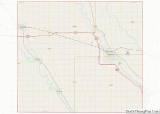
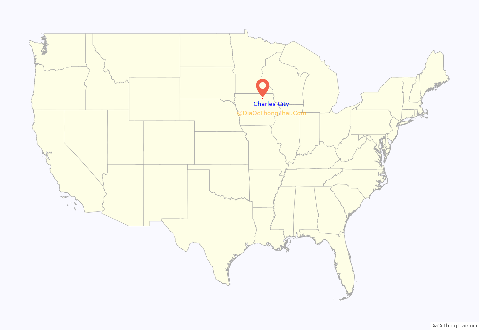
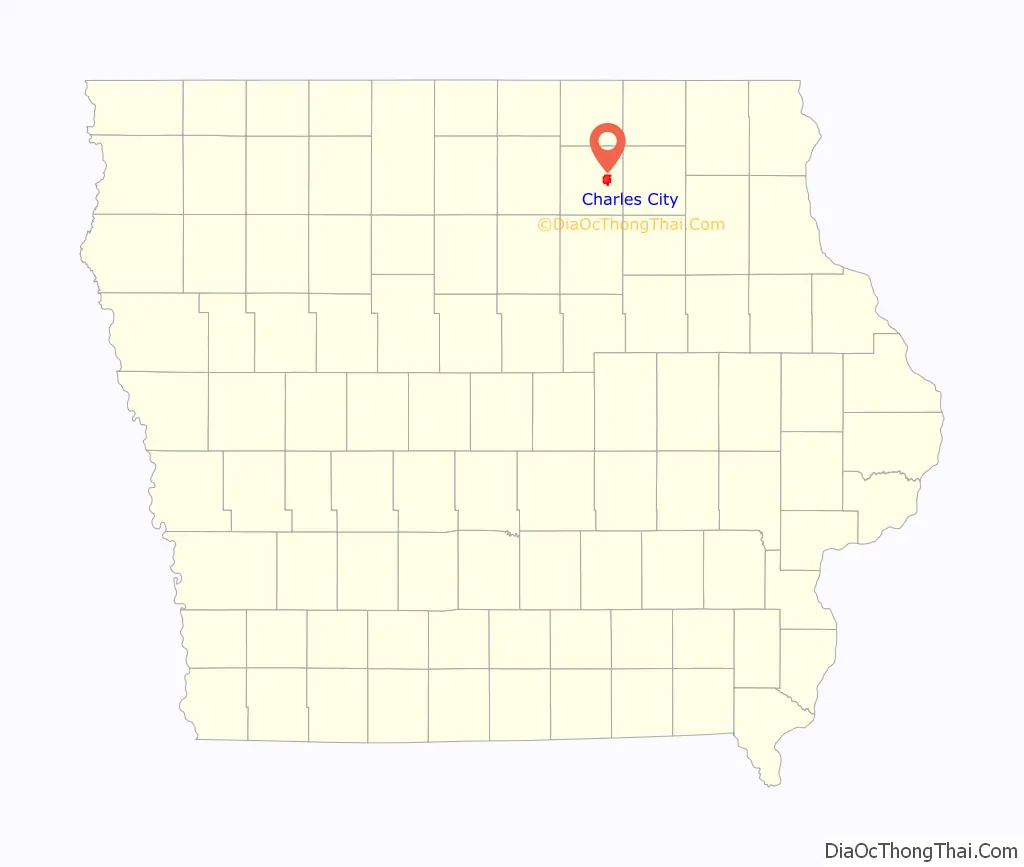
Charles City location map. Where is Charles City city?
History
The Ho-Chunk people, also known as Winnebago, had long occupied this area and had a village along the Cedar River.
In 1851 Joseph Kelly, the first-known European-American settler in the area, came here after the Ho-Chunk had been pushed out. He believed that the site was ideal for a town, as it had water from the Cedar River and adjacent timberland to supply building needs. The settlement was first called “Charlestown” after his son. By 1852, twenty-five other settler families had joined Kelly. The town name was changed, first to “St. Charles” and then to “Charles City,” to avoid duplication of other Iowa town names.
Charles City became the county seat after Floyd County was established in 1851 and officially organized in 1854. Floyd County was named for Sergeant Charles Floyd, a member of the 1804 Lewis and Clark Expedition.
Charles City is known for the role it played in the history of the American tractor. A native son Charles Walter Hart, whose father owned three local farms, met Charles H. Parr in college. After graduating from the University of Wisconsin, Hart and Parr developed a two-cylinder gasoline engine. They set up their Hart-Parr Gasoline Engine Company in Charles City in 1897. In 1901 the two founders coined the word “tractor”, with Latin roots and a combination of the words “traction” and “power”. In 1903 the firm built fifteen “tractors”, the first successful production-model tractor line in the U.S. The 14,000-pound No. 3 is the oldest surviving internal combustion engine tractor in the United States. It is displayed at the Smithsonian National Museum of American History in Washington D.C.
In 1929, Hart-Parr was one of the four companies that merged to form Oliver Farm Equipment Company and finally the White Farm-New Idea Equipment Co. At its peak in the mid-1970s, the sprawling plant complex encompassed 23 acres and employed nearly 3,000 workers. The 1980s farm crisis and other economic pressures led to the closing of the plant in 1993. As of 2013, the vacant site stands ready for re-use.
Although best known for producing tractors, the Hart-Parr company also made some of the first washing machines. They sold for $155 in the 1920s, and the buyer had the option of ordering either an electric or gasoline engine.
The Floyd County Historical Museum preserves the plant’s history and memories in an extensive collection of documents and artifacts.
Charles City is the location of the last lynching in Iowa, that of James Cullen in 1907.
National women’s rights leader Carrie Lane Chapman Catt spent her girlhood years on a farm south of Charles City. Catt is well known as a prominent leader of the woman’s suffrage movement and was instrumental in gaining passage of the 19th Amendment, ratified on August 18, 1920, which granted women the right to vote. Carrie Catt also founded the League of Women Voters. Her home and a visitor’s center are open for public viewing.
On June 9, 2008, record flooding caused major damage in the town. Charles City’s historic suspension bridge, which crossed over the Cedar River, collapsed. Numerous homes around the city were also destroyed. A new bridge, built with FEMA and state funding, opened in early 2010.
Charles City is the location of the Dr. Alvin L. Miller House, a Usonian house designed by Frank Lloyd Wright.
Tornadoes
Charles City is in a location subject to tornadoes, and has been severely damaged by them many times in its history. In the summer of 1858 (possibly July 21), while still known as the village of St. Charles, a “Terrific Tornado” was recorded. There were 16 deaths, 13 inside the village. The property value of buildings destroyed was into the thousands of dollars (1858 dollars), and the loss of crops was said to be “beyond competition”, according to the newspaper account.
On June 8th 1908 a tornado destroyed or substantially damaged around 200 homes and barns. Residents W. R. Beck and a child were killed. The path of the tornado ran through the southeast part of the city, missing the business district. Loss of property was fifty thousand dollars (1908 dollars).
Many people around the region remember Charles City as the site of a devastating F5 tornado that ripped through town on May 15, 1968. It resulted in 13 dead, hundreds injured, and was one of the largest twisters ever recorded in the state, this storm destroyed much of the downtown – 256 businesses and 1,250 homes. Damage estimates were of more than $20 million.
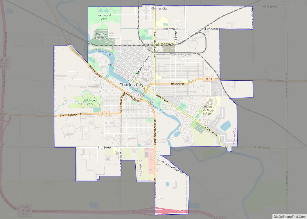
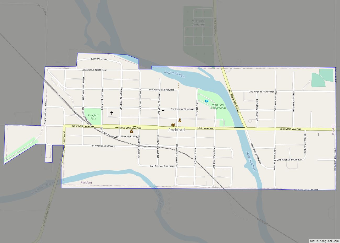
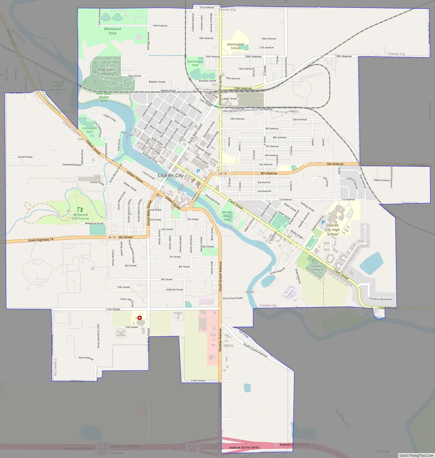
Charles City Road Map
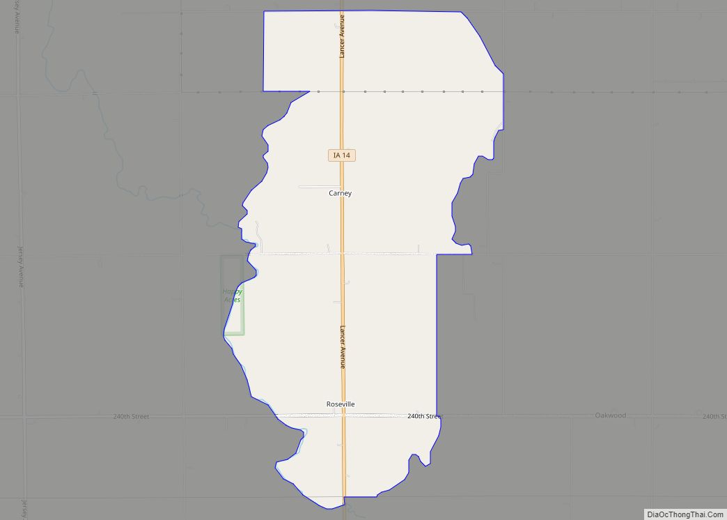
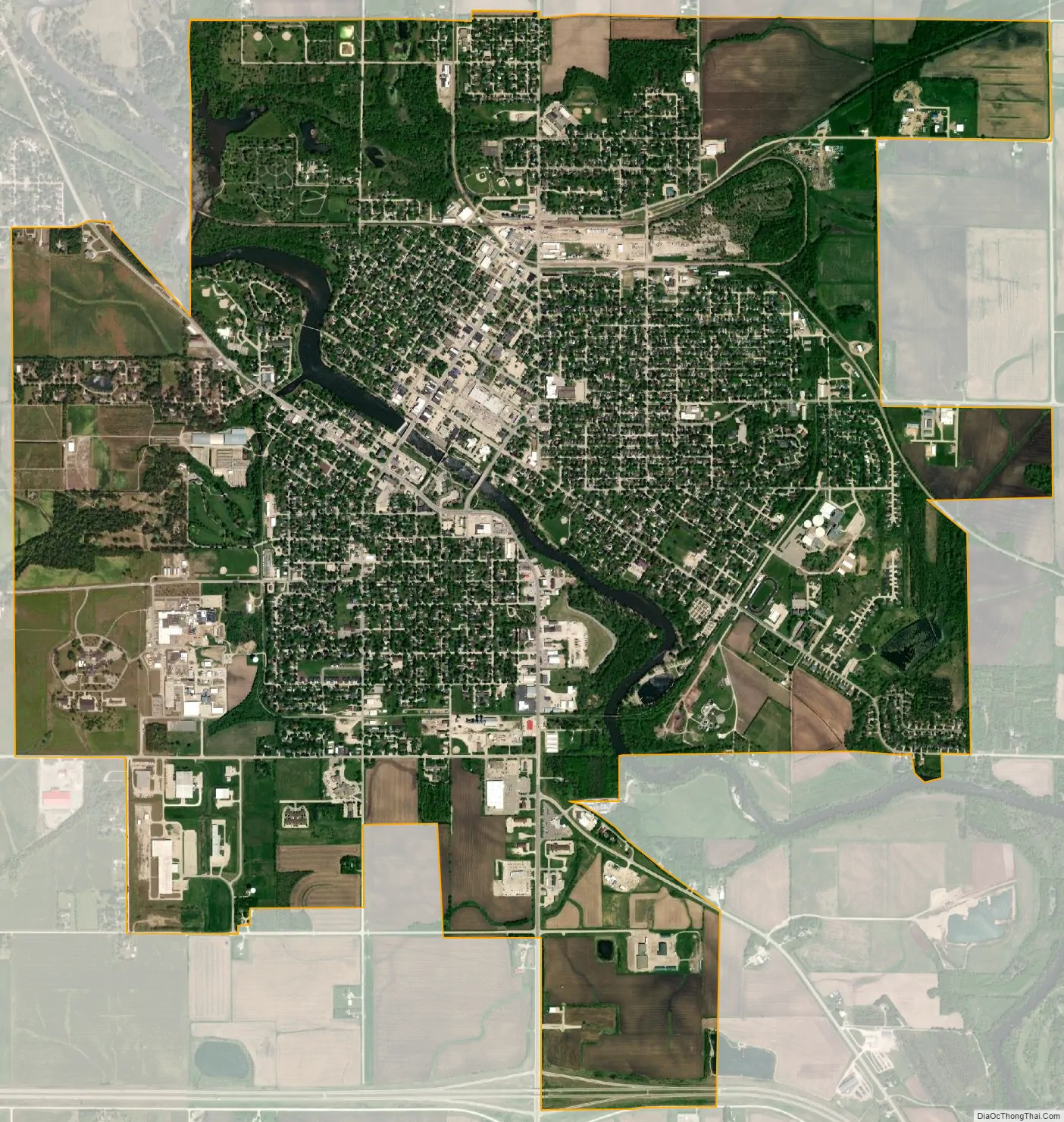
Charles City city Satellite Map
Geography
According to the United States Census Bureau, the city has a total area of 6.31 square miles (16.34 km), of which 6.22 square miles (16.11 km) is land and 0.09 square miles (0.23 km) is water.
Climate
See also
Map of Iowa State and its subdivision:- Adair
- Adams
- Allamakee
- Appanoose
- Audubon
- Benton
- Black Hawk
- Boone
- Bremer
- Buchanan
- Buena Vista
- Butler
- Calhoun
- Carroll
- Cass
- Cedar
- Cerro Gordo
- Cherokee
- Chickasaw
- Clarke
- Clay
- Clayton
- Clinton
- Crawford
- Dallas
- Davis
- Decatur
- Delaware
- Des Moines
- Dickinson
- Dubuque
- Emmet
- Fayette
- Floyd
- Franklin
- Fremont
- Greene
- Grundy
- Guthrie
- Hamilton
- Hancock
- Hardin
- Harrison
- Henry
- Howard
- Humboldt
- Ida
- Iowa
- Jackson
- Jasper
- Jefferson
- Johnson
- Jones
- Keokuk
- Kossuth
- Lee
- Linn
- Louisa
- Lucas
- Lyon
- Madison
- Mahaska
- Marion
- Marshall
- Mills
- Mitchell
- Monona
- Monroe
- Montgomery
- Muscatine
- O'Brien
- Osceola
- Page
- Palo Alto
- Plymouth
- Pocahontas
- Polk
- Pottawattamie
- Poweshiek
- Ringgold
- Sac
- Scott
- Shelby
- Sioux
- Story
- Tama
- Taylor
- Union
- Van Buren
- Wapello
- Warren
- Washington
- Wayne
- Webster
- Winnebago
- Winneshiek
- Woodbury
- Worth
- Wright
- Alabama
- Alaska
- Arizona
- Arkansas
- California
- Colorado
- Connecticut
- Delaware
- District of Columbia
- Florida
- Georgia
- Hawaii
- Idaho
- Illinois
- Indiana
- Iowa
- Kansas
- Kentucky
- Louisiana
- Maine
- Maryland
- Massachusetts
- Michigan
- Minnesota
- Mississippi
- Missouri
- Montana
- Nebraska
- Nevada
- New Hampshire
- New Jersey
- New Mexico
- New York
- North Carolina
- North Dakota
- Ohio
- Oklahoma
- Oregon
- Pennsylvania
- Rhode Island
- South Carolina
- South Dakota
- Tennessee
- Texas
- Utah
- Vermont
- Virginia
- Washington
- West Virginia
- Wisconsin
- Wyoming