Chillicothe (/tʃɪləˈkɒθiː/) is a city in Wapello County, Iowa, United States. The population was 76 at the 2020 census.
| Name: | Chillicothe city |
|---|---|
| LSAD Code: | 25 |
| LSAD Description: | city (suffix) |
| State: | Iowa |
| County: | Wapello County |
| Incorporated: | December 22, 1881 |
| Elevation: | 686 ft (209 m) |
| Total Area: | 0.25 sq mi (0.65 km²) |
| Land Area: | 0.23 sq mi (0.59 km²) |
| Water Area: | 0.02 sq mi (0.06 km²) |
| Total Population: | 76 |
| Population Density: | 336.28/sq mi (129.79/km²) |
| ZIP code: | 52548 |
| Area code: | 641 |
| FIPS code: | 1913215 |
| GNISfeature ID: | 0455394 |
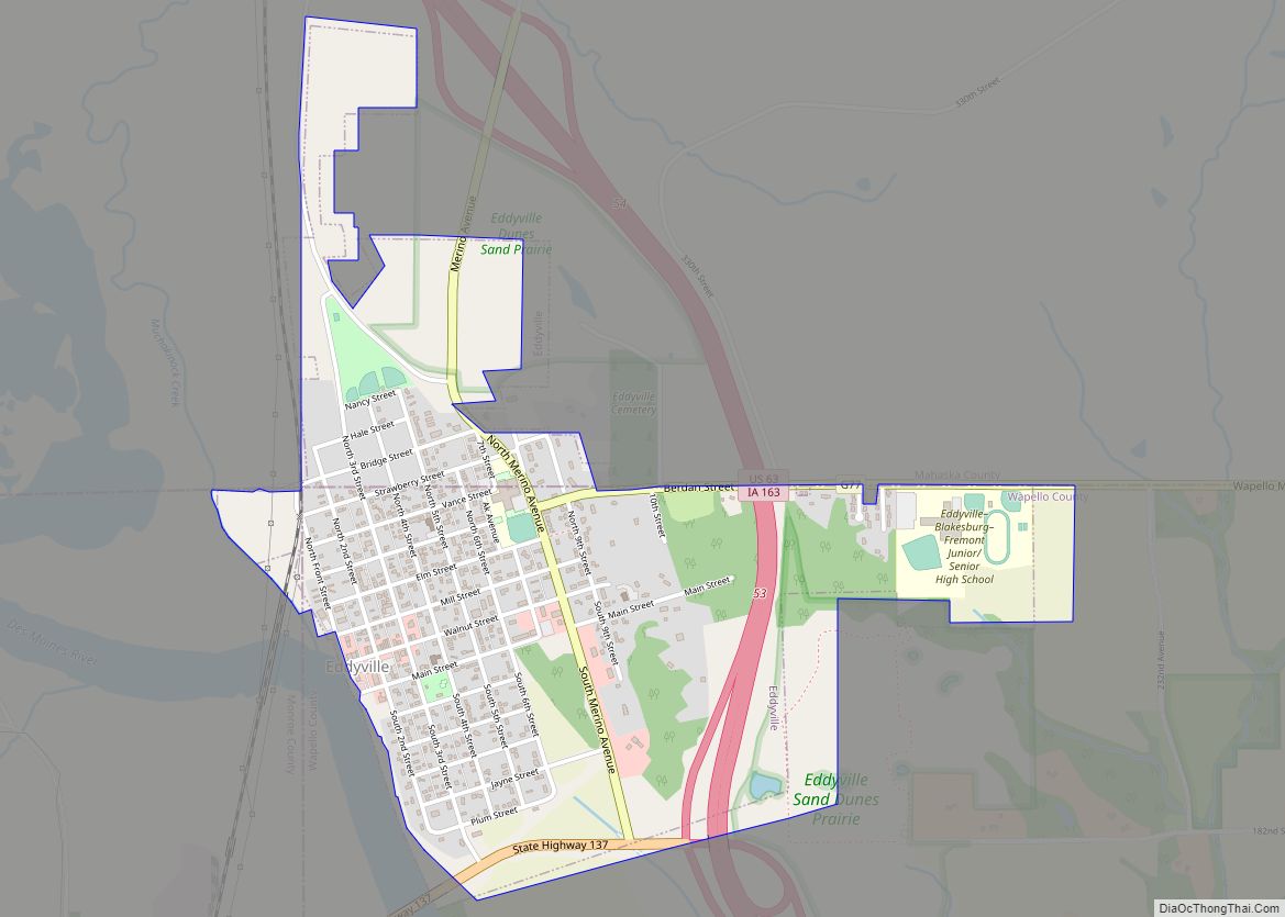
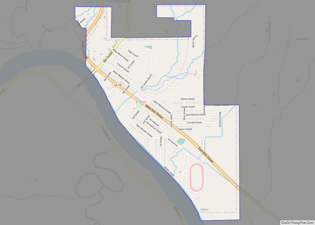
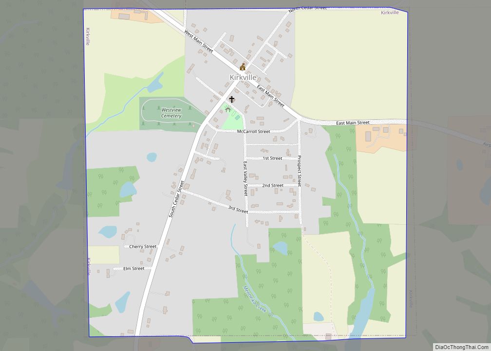
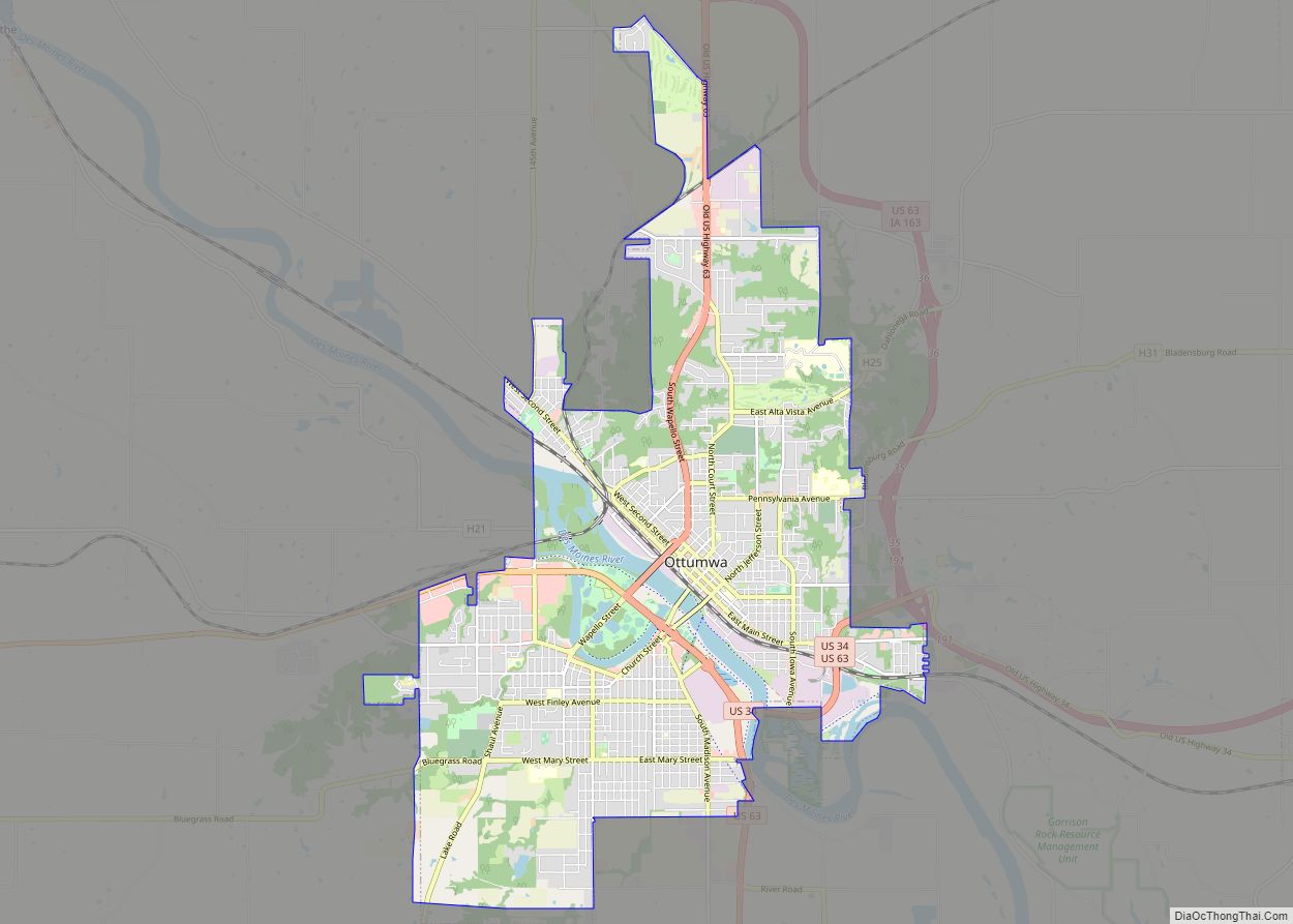
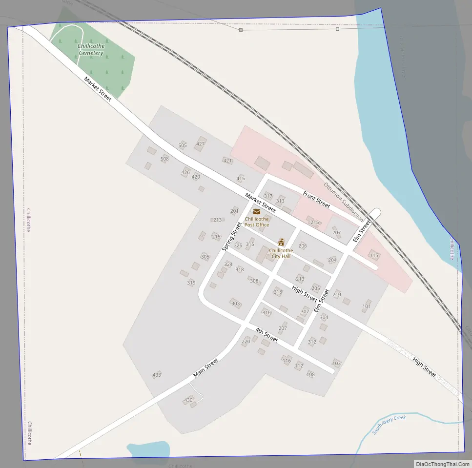
Online Interactive Map
Click on ![]() to view map in "full screen" mode.
to view map in "full screen" mode.
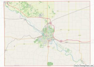
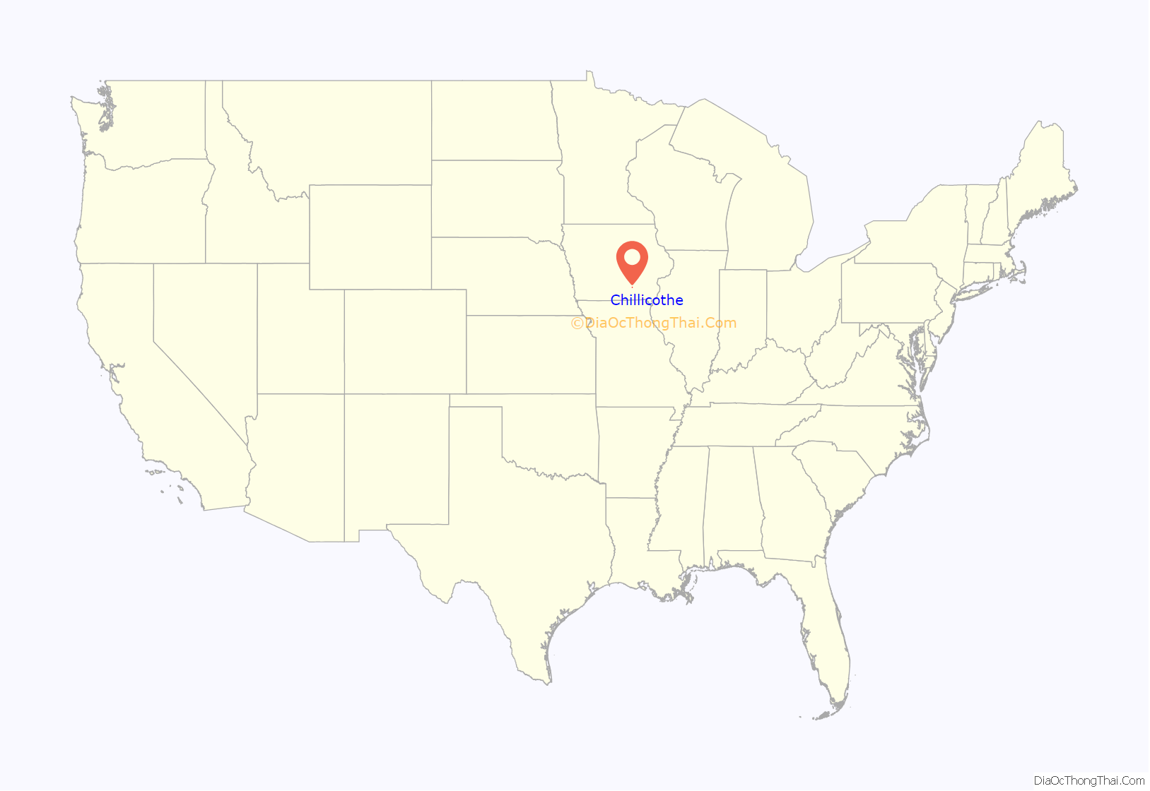
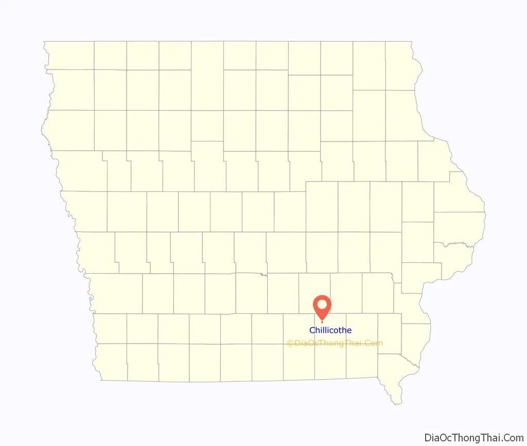
Chillicothe location map. Where is Chillicothe city?
History
Chillicothe was laid out in 1849 and was incorporated in 1881.
The word “Chillicothe” is derived from the ancient Shawnee Indian words meaning “Principal Place.” It was the name for one of their clans. The main chief of the Shawnee could only come from the Chillicothe clan. When a village was called Chillicothe, it meant that it was home to the principal chief. It was the capital city of the Shawnees until the death of the chief. Then, the capitol would move to the home village of the next main chief. That village would then become Chillicothe.
Chillicothe is the burial place of the oldest man to serve in the Civil War, Curtis King.
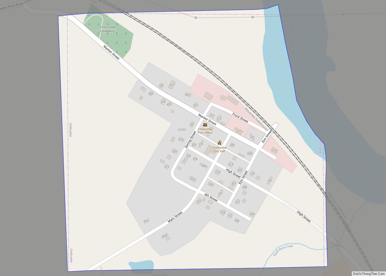
Chillicothe Road Map
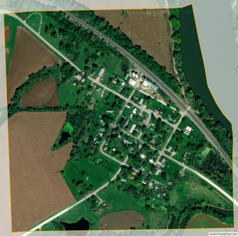
Chillicothe city Satellite Map
Geography
Chillicothe is located at 41°5′11″N 92°31′44″W / 41.08639°N 92.52889°W / 41.08639; -92.52889 (41.086443, -92.528751).
According to the United States Census Bureau, the city has a total area of 0.24 square miles (0.62 km), of which 0.23 square miles (0.60 km) is land and 0.01 square miles (0.03 km) is water.
See also
Map of Iowa State and its subdivision:- Adair
- Adams
- Allamakee
- Appanoose
- Audubon
- Benton
- Black Hawk
- Boone
- Bremer
- Buchanan
- Buena Vista
- Butler
- Calhoun
- Carroll
- Cass
- Cedar
- Cerro Gordo
- Cherokee
- Chickasaw
- Clarke
- Clay
- Clayton
- Clinton
- Crawford
- Dallas
- Davis
- Decatur
- Delaware
- Des Moines
- Dickinson
- Dubuque
- Emmet
- Fayette
- Floyd
- Franklin
- Fremont
- Greene
- Grundy
- Guthrie
- Hamilton
- Hancock
- Hardin
- Harrison
- Henry
- Howard
- Humboldt
- Ida
- Iowa
- Jackson
- Jasper
- Jefferson
- Johnson
- Jones
- Keokuk
- Kossuth
- Lee
- Linn
- Louisa
- Lucas
- Lyon
- Madison
- Mahaska
- Marion
- Marshall
- Mills
- Mitchell
- Monona
- Monroe
- Montgomery
- Muscatine
- O'Brien
- Osceola
- Page
- Palo Alto
- Plymouth
- Pocahontas
- Polk
- Pottawattamie
- Poweshiek
- Ringgold
- Sac
- Scott
- Shelby
- Sioux
- Story
- Tama
- Taylor
- Union
- Van Buren
- Wapello
- Warren
- Washington
- Wayne
- Webster
- Winnebago
- Winneshiek
- Woodbury
- Worth
- Wright
- Alabama
- Alaska
- Arizona
- Arkansas
- California
- Colorado
- Connecticut
- Delaware
- District of Columbia
- Florida
- Georgia
- Hawaii
- Idaho
- Illinois
- Indiana
- Iowa
- Kansas
- Kentucky
- Louisiana
- Maine
- Maryland
- Massachusetts
- Michigan
- Minnesota
- Mississippi
- Missouri
- Montana
- Nebraska
- Nevada
- New Hampshire
- New Jersey
- New Mexico
- New York
- North Carolina
- North Dakota
- Ohio
- Oklahoma
- Oregon
- Pennsylvania
- Rhode Island
- South Carolina
- South Dakota
- Tennessee
- Texas
- Utah
- Vermont
- Virginia
- Washington
- West Virginia
- Wisconsin
- Wyoming