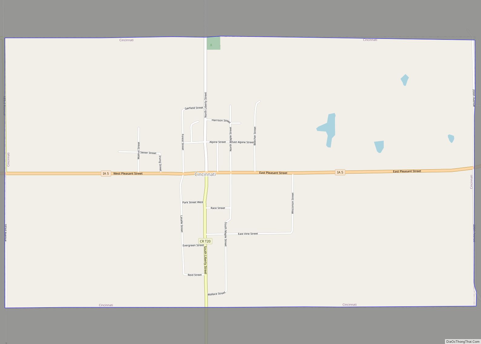
Cincinnati is a city in Appanoose County, Iowa, United States. The population was 290 in the 2020 census, a decline from 428 in 2000.
| Name: | Cincinnati city |
|---|---|
| LSAD Code: | 25 |
| LSAD Description: | city (suffix) |
| State: | Iowa |
| County: | Appanoose County |
| Incorporated: | February 13, 1875 |
| Elevation: | 1,027 ft (313 m) |
| Total Area: | 1.76 sq mi (4.55 km²) |
| Land Area: | 1.76 sq mi (4.55 km²) |
| Water Area: | 0.00 sq mi (0.00 km²) |
| Total Population: | 290 |
| Population Density: | 165.15/sq mi (63.78/km²) |
| ZIP code: | 52549 |
| Area code: | 641 |
| FIPS code: | 1913395 |
| GNISfeature ID: | 0455415 |
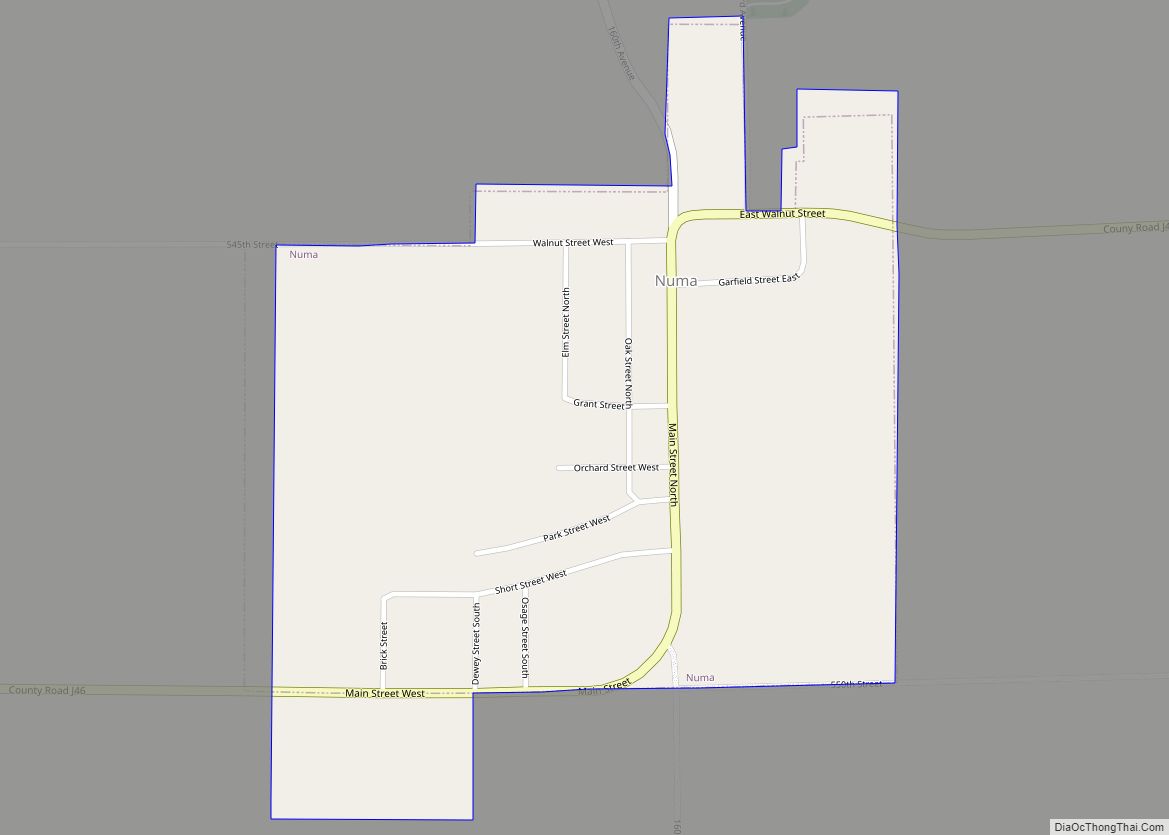
Online Interactive Map
Click on ![]() to view map in "full screen" mode.
to view map in "full screen" mode.
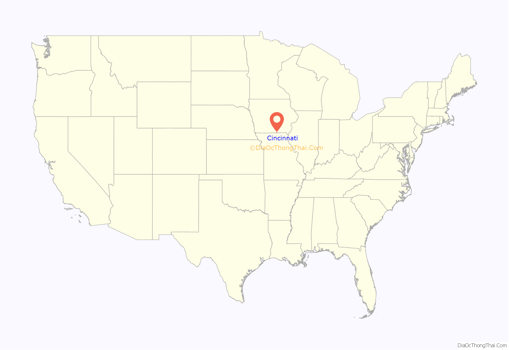
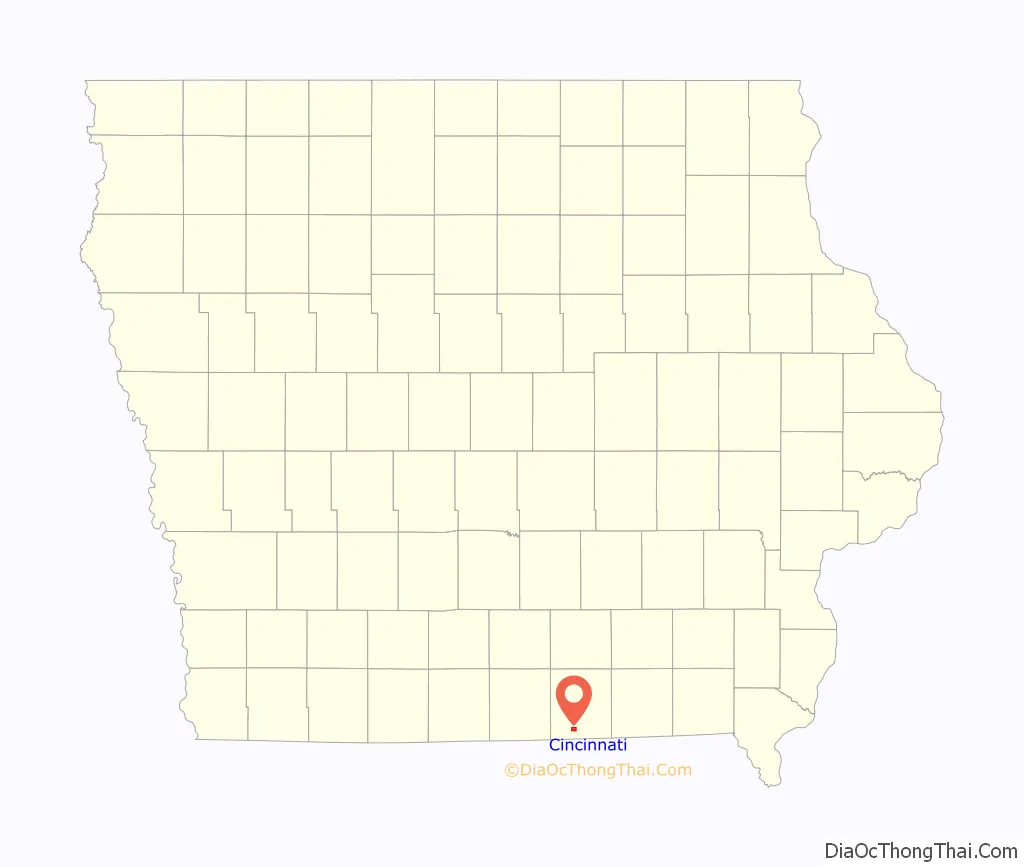
Cincinnati location map. Where is Cincinnati city?
History
Cincinnati was platted in 1855. The town of Cincinnati was incorporated in February 1875, and named for the Ohio hometown of early resident J.H.B. Armstrong. Cincinnati was a coal mining camp, and as with many coal camps in the late 19th century, it was a hotbed of union activity, strikes and occasional violence. Company E of the Second Regiment of the Iowa National Guard was called up on April 12, 1895, in response to a request of support from the county sheriff after threats of violence from striking miners in Cincinnati. In 1912, Local 775 of the United Mine Workers based in Cincinnati, had 302 members.
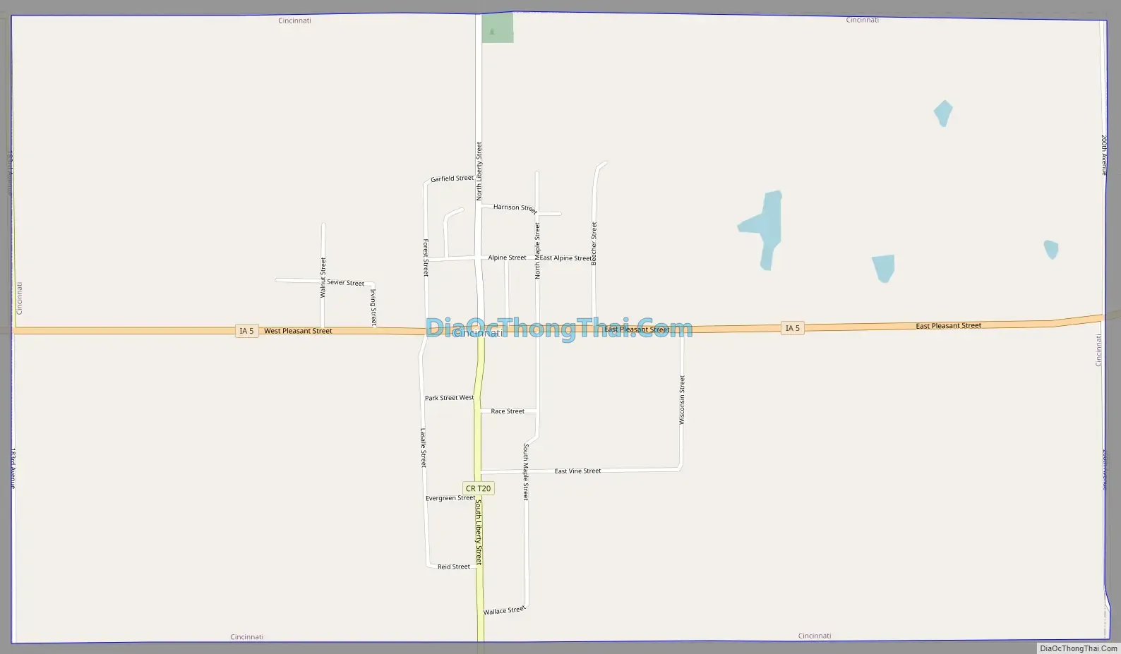
Cincinnati Road Map
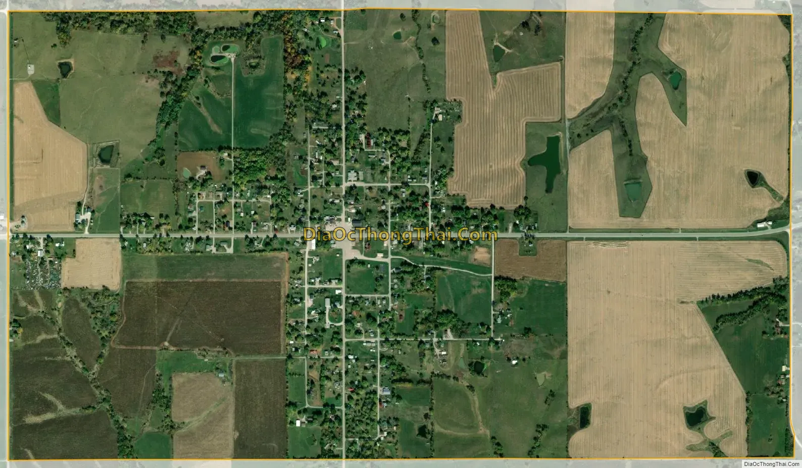
Cincinnati city Satellite Map
Geography
Cincinnati’s longitude and latitude coordinates
in decimal form are 40.630309, −92.923734.
According to the United States Census Bureau, the city has a total area of 1.75 square miles (4.53 km), all land.
The assigned ZIP code of the city is 52549.
See also
Map of Iowa State and its subdivision:- Adair
- Adams
- Allamakee
- Appanoose
- Audubon
- Benton
- Black Hawk
- Boone
- Bremer
- Buchanan
- Buena Vista
- Butler
- Calhoun
- Carroll
- Cass
- Cedar
- Cerro Gordo
- Cherokee
- Chickasaw
- Clarke
- Clay
- Clayton
- Clinton
- Crawford
- Dallas
- Davis
- Decatur
- Delaware
- Des Moines
- Dickinson
- Dubuque
- Emmet
- Fayette
- Floyd
- Franklin
- Fremont
- Greene
- Grundy
- Guthrie
- Hamilton
- Hancock
- Hardin
- Harrison
- Henry
- Howard
- Humboldt
- Ida
- Iowa
- Jackson
- Jasper
- Jefferson
- Johnson
- Jones
- Keokuk
- Kossuth
- Lee
- Linn
- Louisa
- Lucas
- Lyon
- Madison
- Mahaska
- Marion
- Marshall
- Mills
- Mitchell
- Monona
- Monroe
- Montgomery
- Muscatine
- O'Brien
- Osceola
- Page
- Palo Alto
- Plymouth
- Pocahontas
- Polk
- Pottawattamie
- Poweshiek
- Ringgold
- Sac
- Scott
- Shelby
- Sioux
- Story
- Tama
- Taylor
- Union
- Van Buren
- Wapello
- Warren
- Washington
- Wayne
- Webster
- Winnebago
- Winneshiek
- Woodbury
- Worth
- Wright
- Alabama
- Alaska
- Arizona
- Arkansas
- California
- Colorado
- Connecticut
- Delaware
- District of Columbia
- Florida
- Georgia
- Hawaii
- Idaho
- Illinois
- Indiana
- Iowa
- Kansas
- Kentucky
- Louisiana
- Maine
- Maryland
- Massachusetts
- Michigan
- Minnesota
- Mississippi
- Missouri
- Montana
- Nebraska
- Nevada
- New Hampshire
- New Jersey
- New Mexico
- New York
- North Carolina
- North Dakota
- Ohio
- Oklahoma
- Oregon
- Pennsylvania
- Rhode Island
- South Carolina
- South Dakota
- Tennessee
- Texas
- Utah
- Vermont
- Virginia
- Washington
- West Virginia
- Wisconsin
- Wyoming