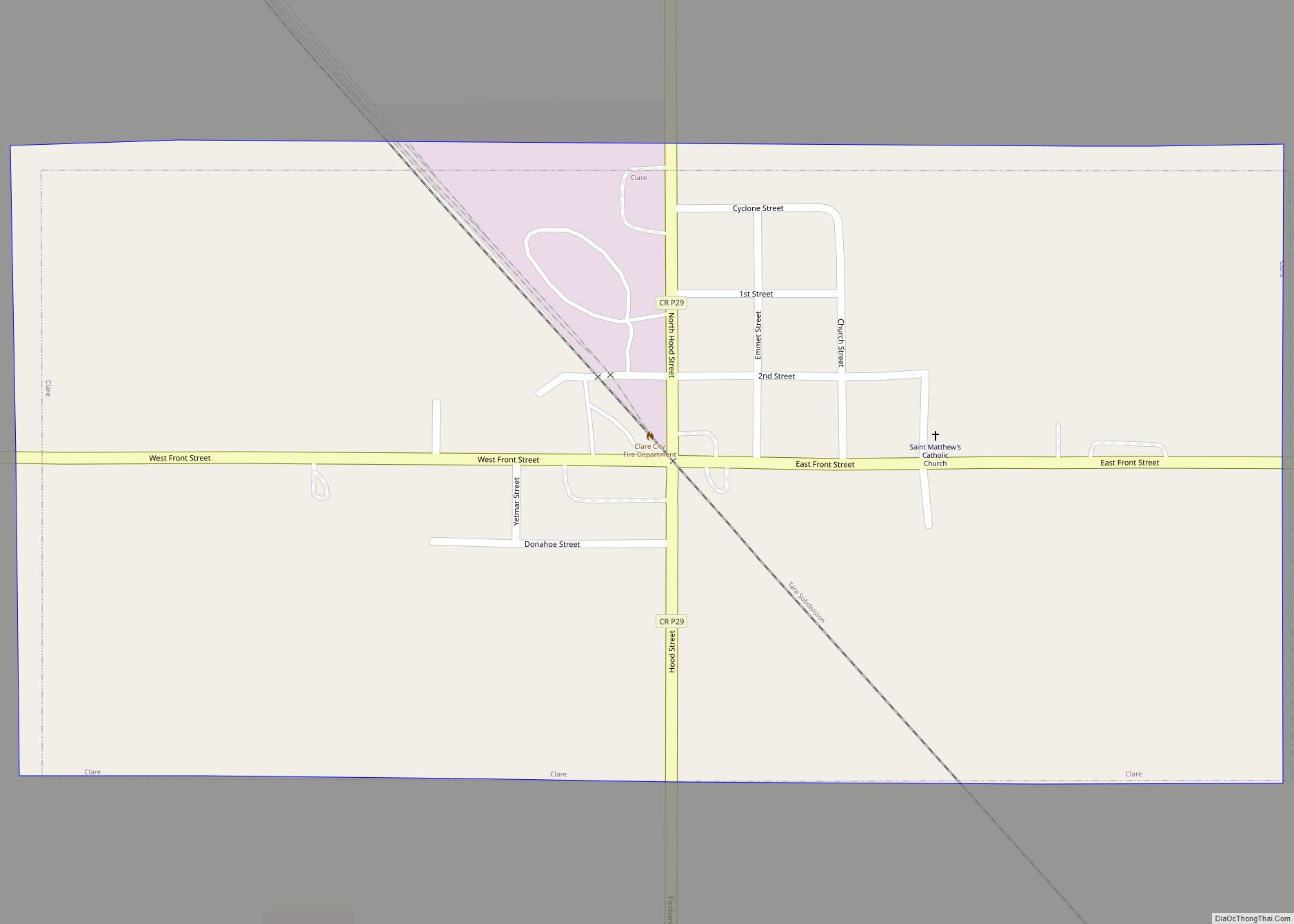
Clare is a city in Webster County, Iowa, United States. The population was 136 at the 2020 census. Clare was settled circa 1882 by immigrants from Clare County, Ireland. Clare is also home to a United States post office on West Front St.
| Name: | Clare city |
|---|---|
| LSAD Code: | 25 |
| LSAD Description: | city (suffix) |
| State: | Iowa |
| County: | Webster County |
| Incorporated: | 1882 |
| Elevation: | 1,155 ft (352 m) |
| Total Area: | 0.50 sq mi (1.28 km²) |
| Land Area: | 0.50 sq mi (1.28 km²) |
| Water Area: | 0.00 sq mi (0.00 km²) |
| Total Population: | 136 |
| Population Density: | 274.19/sq mi (105.92/km²) |
| ZIP code: | 50524 |
| Area code: | 515 |
| FIPS code: | 1913485 |
| GNISfeature ID: | 0455422 |
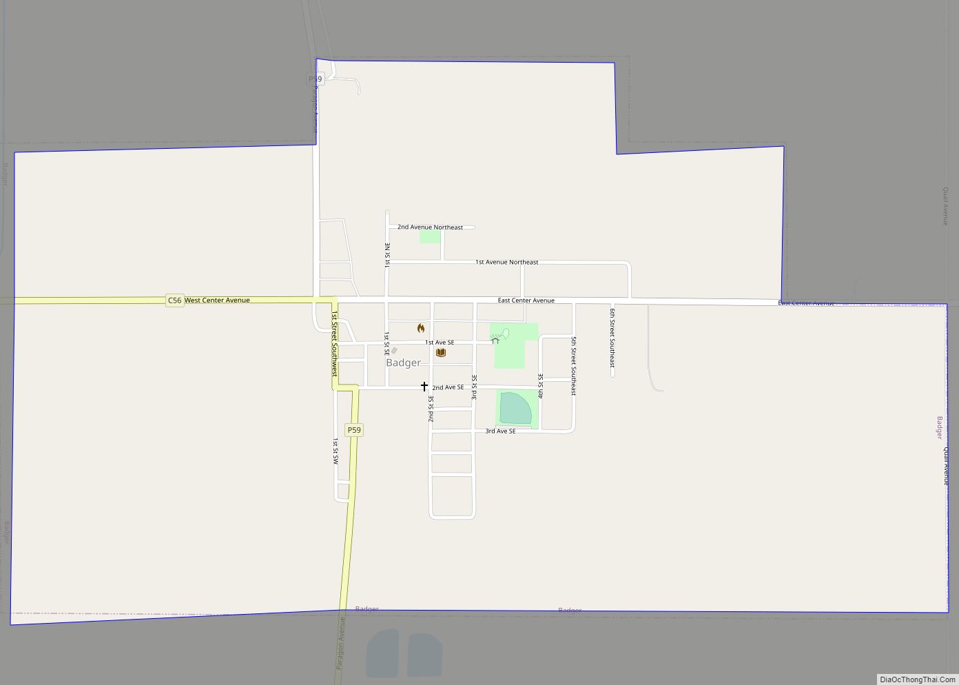
Online Interactive Map
Click on ![]() to view map in "full screen" mode.
to view map in "full screen" mode.
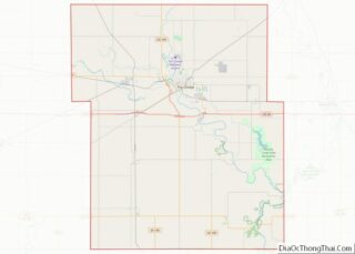
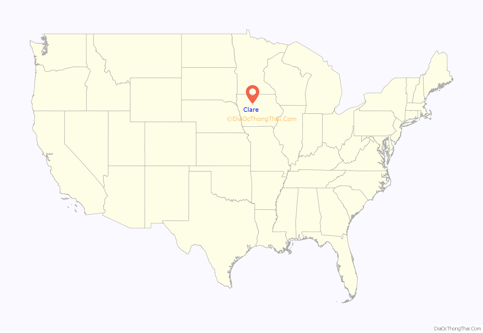
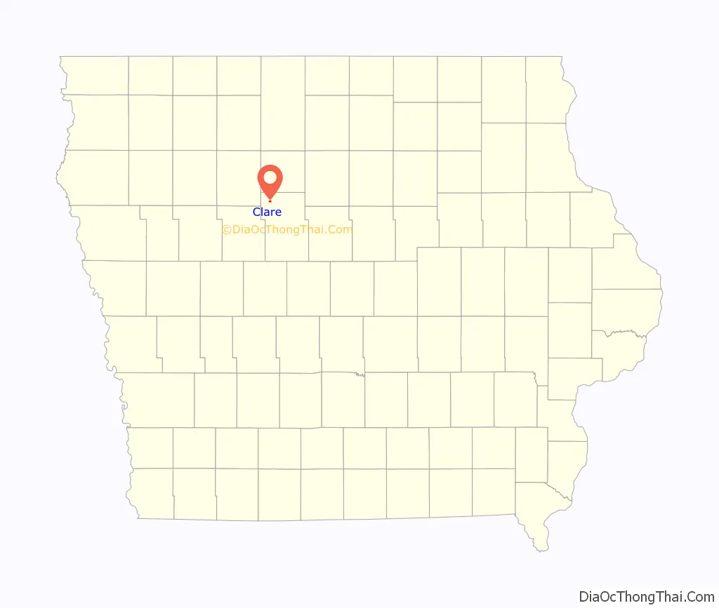
Clare location map. Where is Clare city?
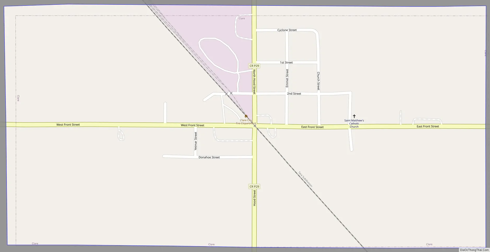
Clare Road Map
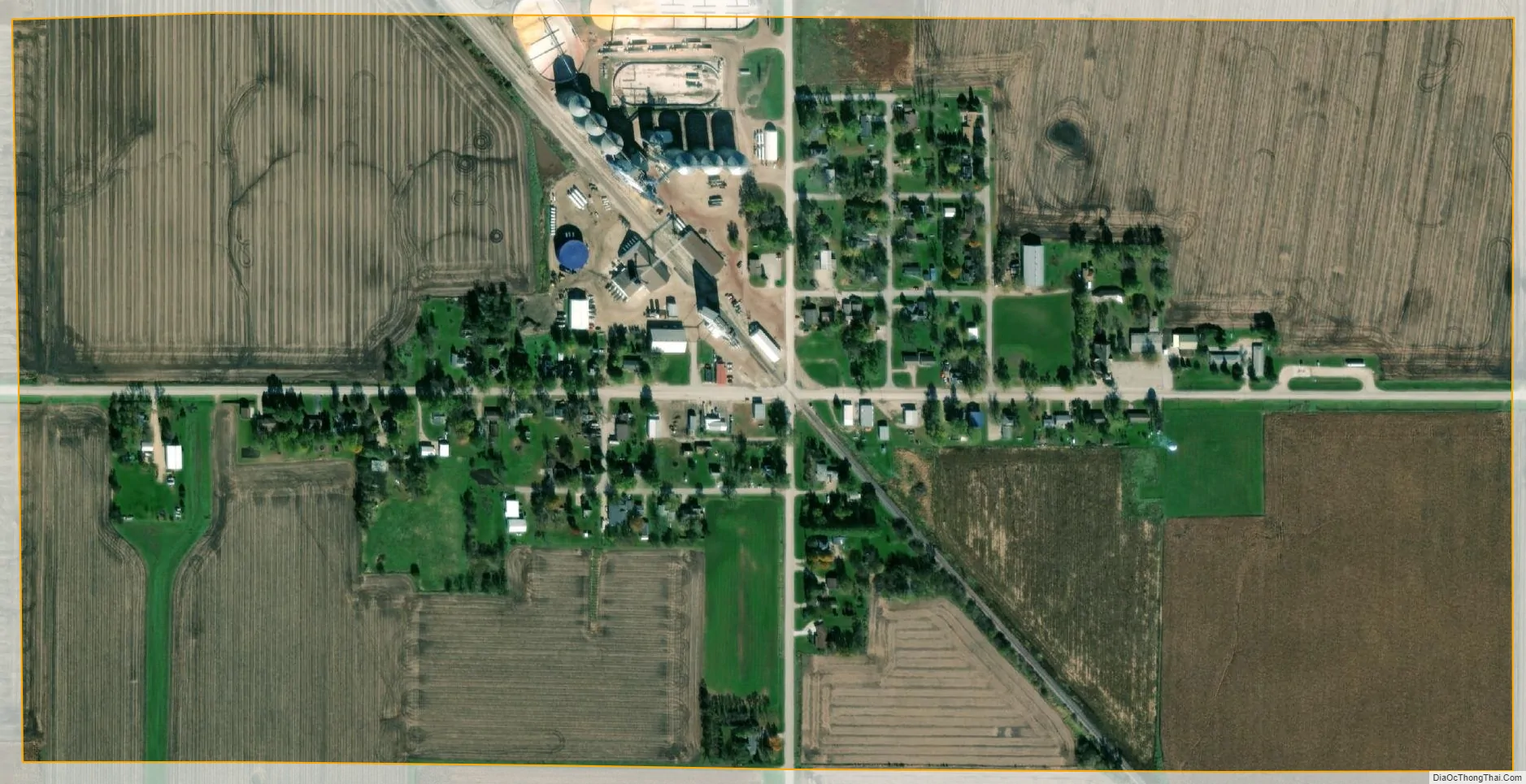
Clare city Satellite Map
Geography
Clare is located at 42°35′16″N 94°20′37″W / 42.58778°N 94.34361°W / 42.58778; -94.34361 (42.587838, -94.343526).
According to the United States Census Bureau, the city has a total area of 0.51 square miles (1.32 km), all land.
Clare lies within the eastern side of Manson crater, an impact structure buried by glacial till and outwash.
See also
Map of Iowa State and its subdivision:- Adair
- Adams
- Allamakee
- Appanoose
- Audubon
- Benton
- Black Hawk
- Boone
- Bremer
- Buchanan
- Buena Vista
- Butler
- Calhoun
- Carroll
- Cass
- Cedar
- Cerro Gordo
- Cherokee
- Chickasaw
- Clarke
- Clay
- Clayton
- Clinton
- Crawford
- Dallas
- Davis
- Decatur
- Delaware
- Des Moines
- Dickinson
- Dubuque
- Emmet
- Fayette
- Floyd
- Franklin
- Fremont
- Greene
- Grundy
- Guthrie
- Hamilton
- Hancock
- Hardin
- Harrison
- Henry
- Howard
- Humboldt
- Ida
- Iowa
- Jackson
- Jasper
- Jefferson
- Johnson
- Jones
- Keokuk
- Kossuth
- Lee
- Linn
- Louisa
- Lucas
- Lyon
- Madison
- Mahaska
- Marion
- Marshall
- Mills
- Mitchell
- Monona
- Monroe
- Montgomery
- Muscatine
- O'Brien
- Osceola
- Page
- Palo Alto
- Plymouth
- Pocahontas
- Polk
- Pottawattamie
- Poweshiek
- Ringgold
- Sac
- Scott
- Shelby
- Sioux
- Story
- Tama
- Taylor
- Union
- Van Buren
- Wapello
- Warren
- Washington
- Wayne
- Webster
- Winnebago
- Winneshiek
- Woodbury
- Worth
- Wright
- Alabama
- Alaska
- Arizona
- Arkansas
- California
- Colorado
- Connecticut
- Delaware
- District of Columbia
- Florida
- Georgia
- Hawaii
- Idaho
- Illinois
- Indiana
- Iowa
- Kansas
- Kentucky
- Louisiana
- Maine
- Maryland
- Massachusetts
- Michigan
- Minnesota
- Mississippi
- Missouri
- Montana
- Nebraska
- Nevada
- New Hampshire
- New Jersey
- New Mexico
- New York
- North Carolina
- North Dakota
- Ohio
- Oklahoma
- Oregon
- Pennsylvania
- Rhode Island
- South Carolina
- South Dakota
- Tennessee
- Texas
- Utah
- Vermont
- Virginia
- Washington
- West Virginia
- Wisconsin
- Wyoming