Coggon is a city in Linn County, Iowa, United States. The population was 701 at the time of the 2020 census. It is part of the Cedar Rapids Metropolitan Statistical Area.
| Name: | Coggon city |
|---|---|
| LSAD Code: | 25 |
| LSAD Description: | city (suffix) |
| State: | Iowa |
| County: | Linn County |
| Elevation: | 932 ft (284 m) |
| Total Area: | 0.67 sq mi (1.74 km²) |
| Land Area: | 0.65 sq mi (1.68 km²) |
| Water Area: | 0.02 sq mi (0.05 km²) |
| Total Population: | 701 |
| Population Density: | 1,078.46/sq mi (416.20/km²) |
| ZIP code: | 52218 |
| Area code: | 319 |
| FIPS code: | 1914925 |
| GNISfeature ID: | 0455514 |
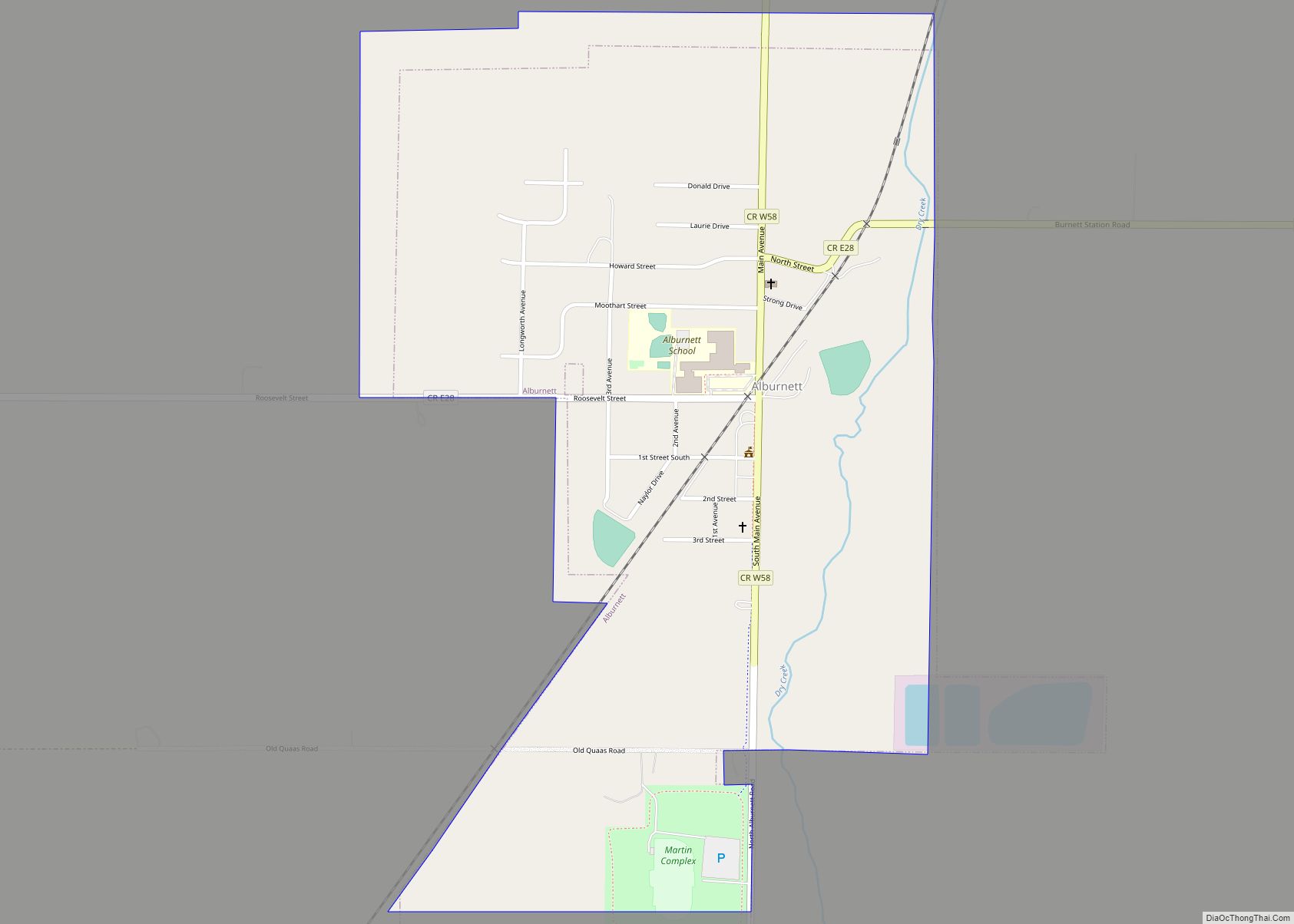
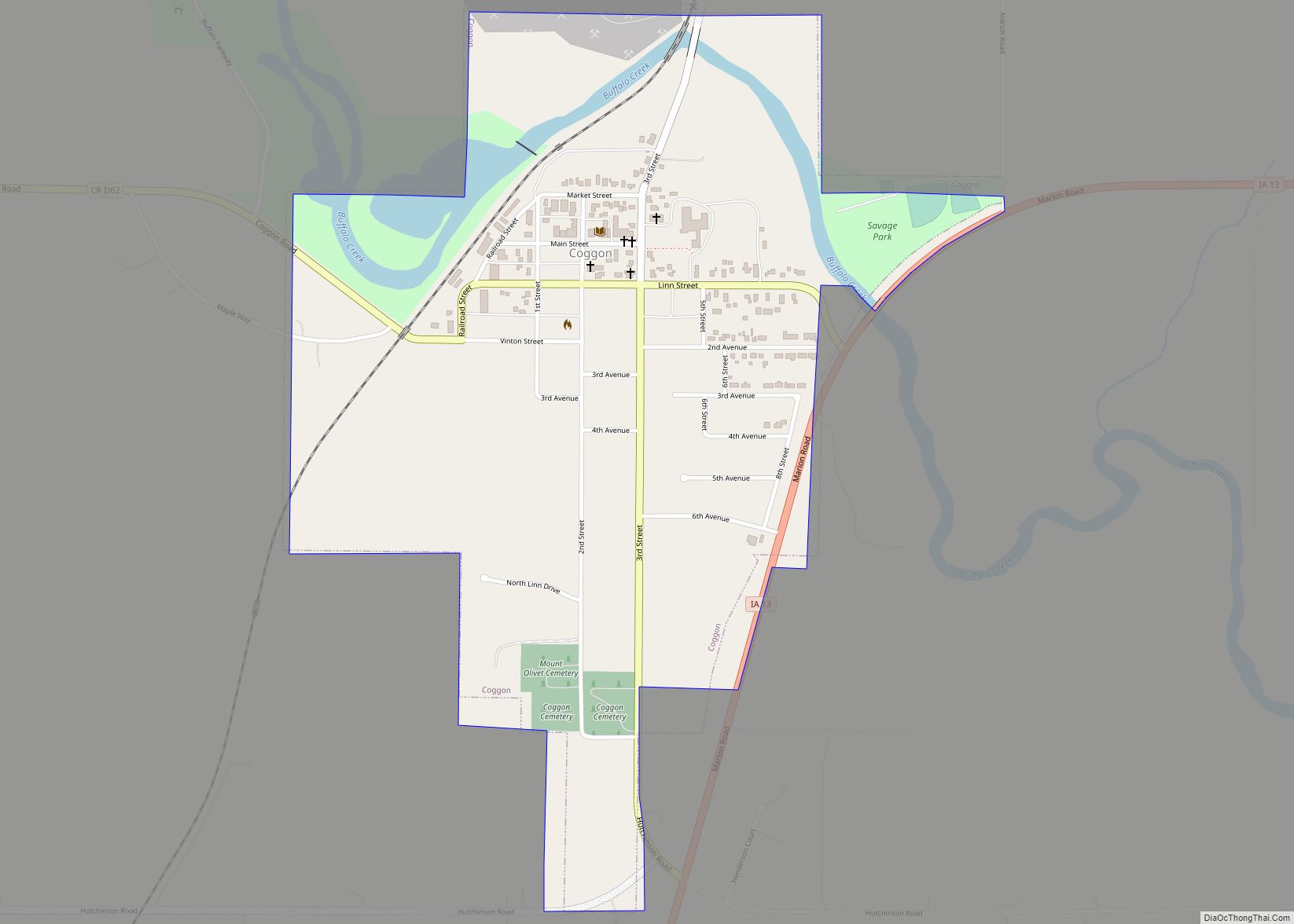
Online Interactive Map
Click on ![]() to view map in "full screen" mode.
to view map in "full screen" mode.
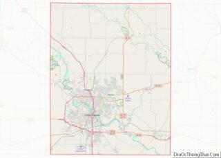
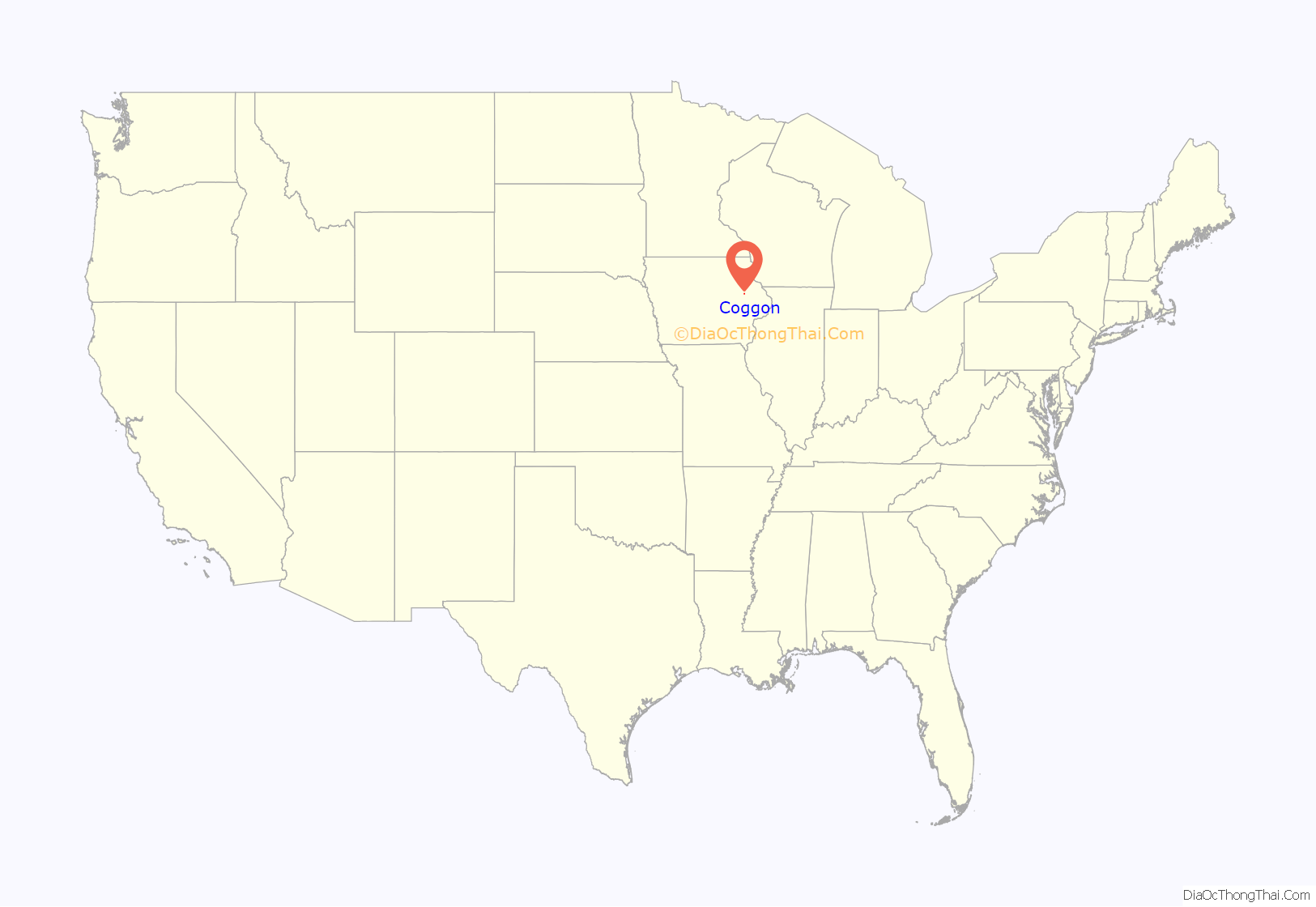
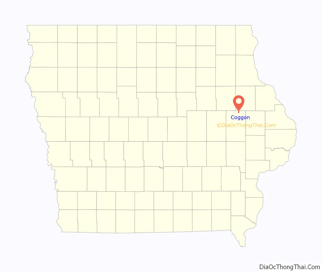
Coggon location map. Where is Coggon city?
History
Coggon was founded in 1857, and celebrated its sesquicentennial in 2007. The town’s motto is “The One and Only.” This is because Coggon, Iowa is the only town named Coggon in the whole world. Previously, the motto was “Some bigger, none better.” Coggon is most well known as the site of the 1953 tornado that damaged much of the northwest portion of the town. Coggon is home to The Coggon Rockets baseball and softball teams, which, in 2012 won the Coggon Little League Championship game and took home the title of best softball team west of the Wapsipinicon River.
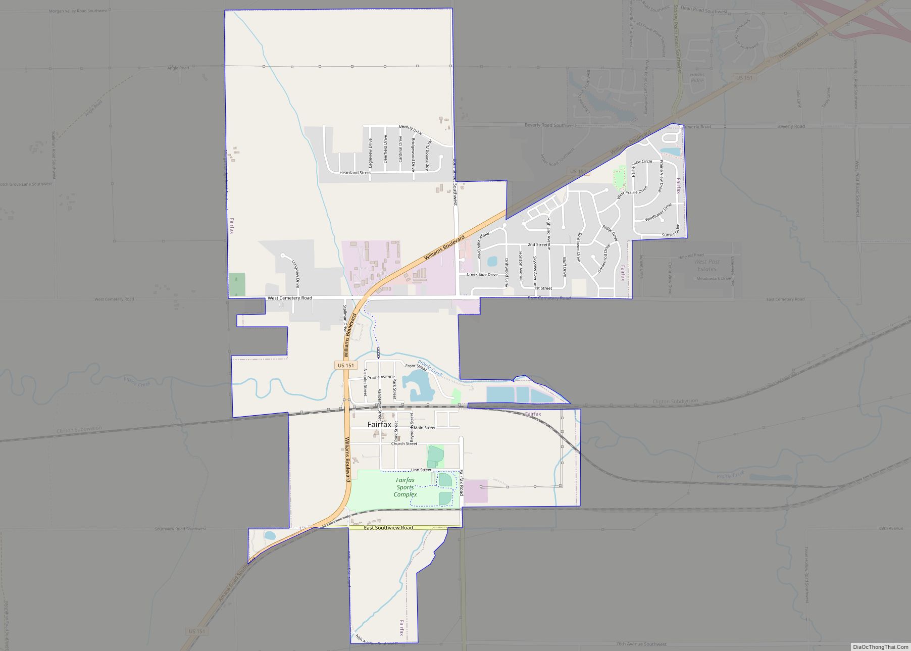
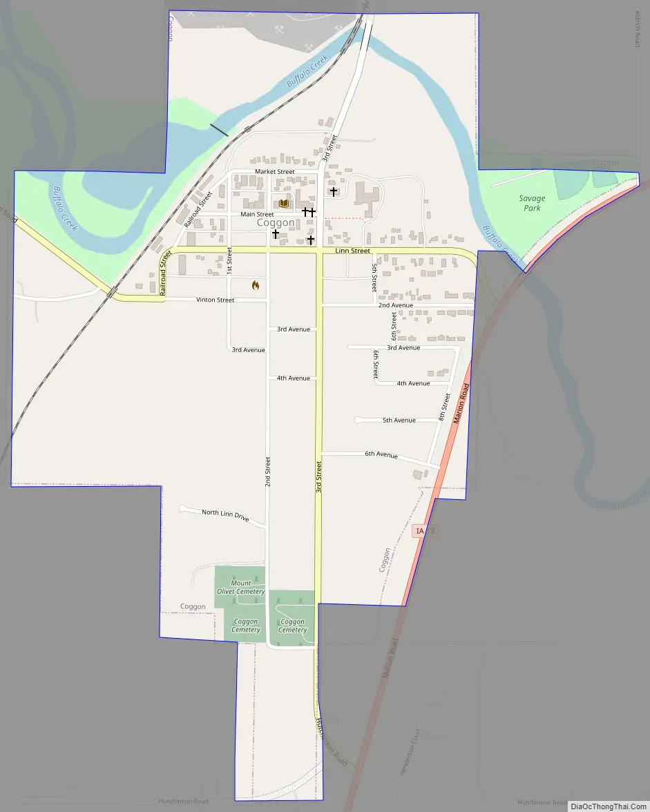
Coggon Road Map
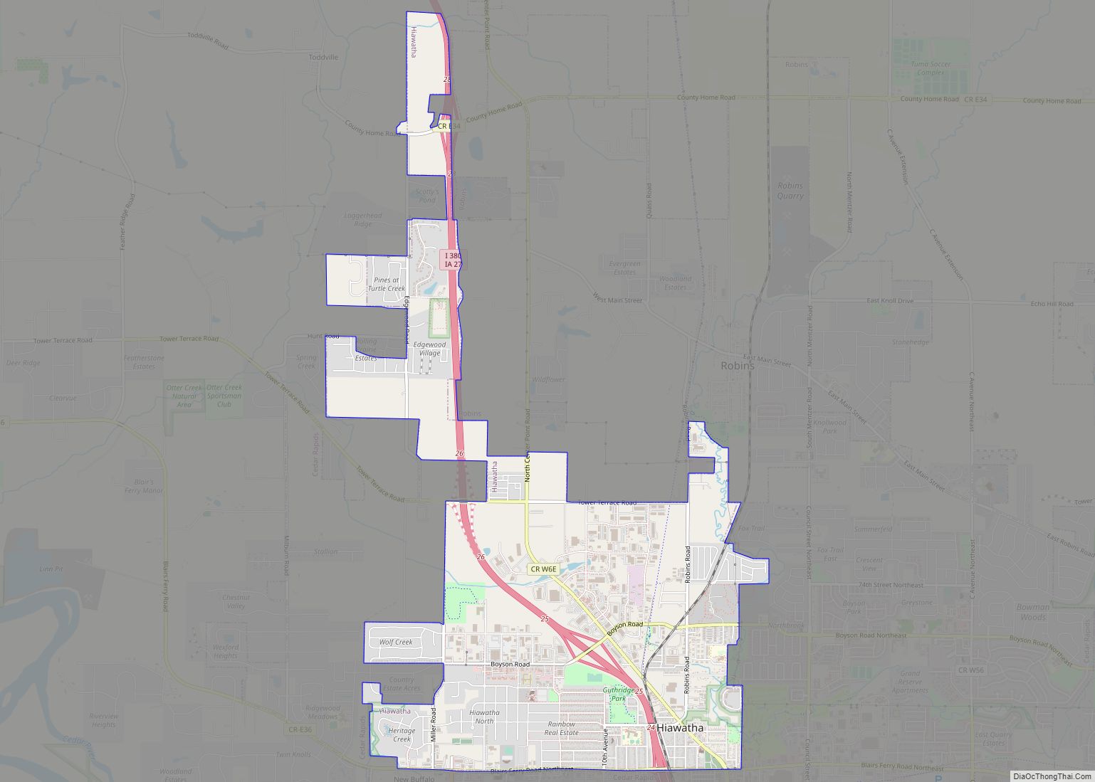
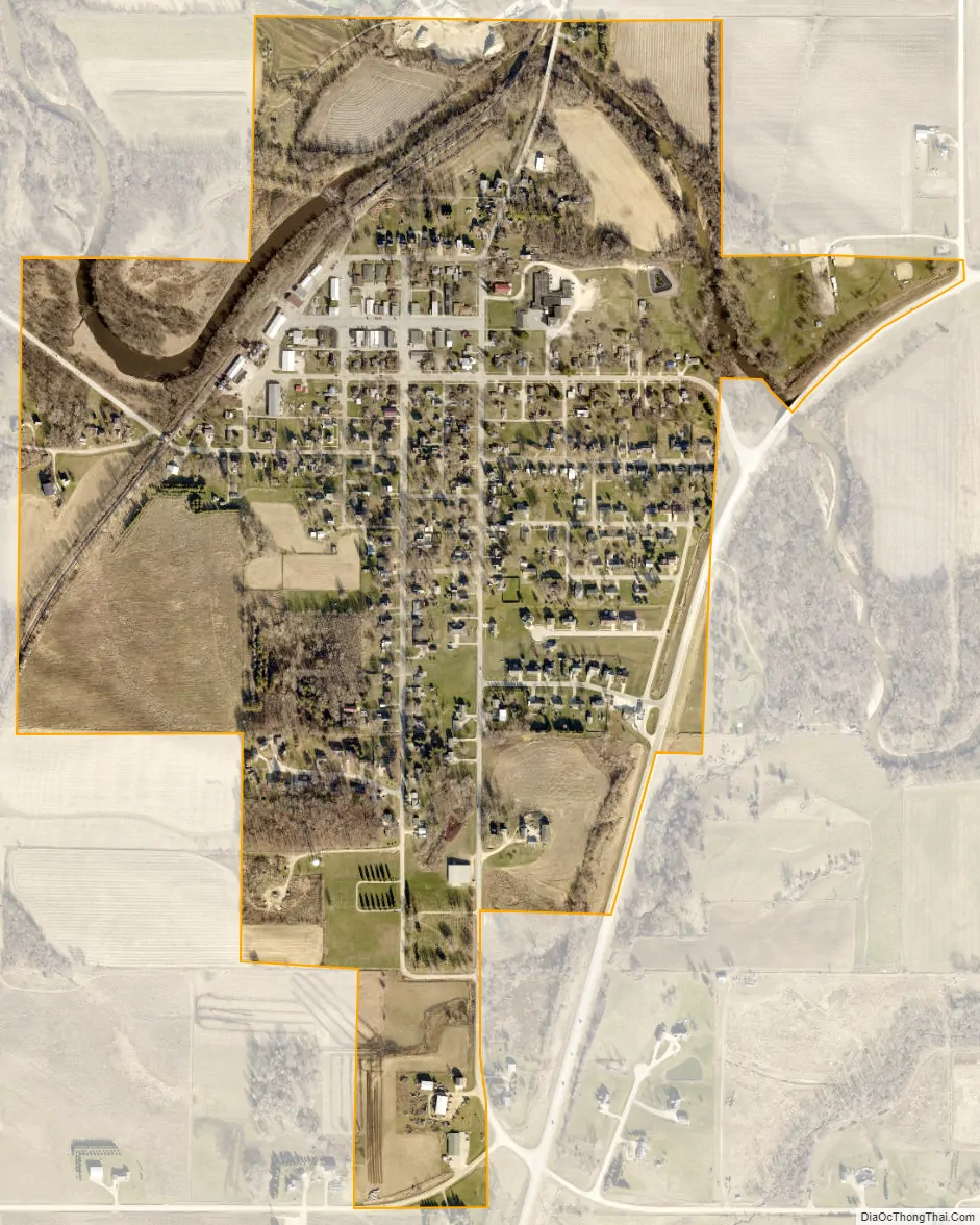
Coggon city Satellite Map
Geography
Coggon is located at 42°16′45″N 91°31′47″W / 42.27917°N 91.52972°W / 42.27917; -91.52972 (42.279076, -91.529647).
According to the United States Census Bureau, the city has a total area of 0.65 square miles (1.68 km), of which 0.63 square miles (1.63 km) is land and 0.02 square miles (0.05 km) is water.
See also
Map of Iowa State and its subdivision:- Adair
- Adams
- Allamakee
- Appanoose
- Audubon
- Benton
- Black Hawk
- Boone
- Bremer
- Buchanan
- Buena Vista
- Butler
- Calhoun
- Carroll
- Cass
- Cedar
- Cerro Gordo
- Cherokee
- Chickasaw
- Clarke
- Clay
- Clayton
- Clinton
- Crawford
- Dallas
- Davis
- Decatur
- Delaware
- Des Moines
- Dickinson
- Dubuque
- Emmet
- Fayette
- Floyd
- Franklin
- Fremont
- Greene
- Grundy
- Guthrie
- Hamilton
- Hancock
- Hardin
- Harrison
- Henry
- Howard
- Humboldt
- Ida
- Iowa
- Jackson
- Jasper
- Jefferson
- Johnson
- Jones
- Keokuk
- Kossuth
- Lee
- Linn
- Louisa
- Lucas
- Lyon
- Madison
- Mahaska
- Marion
- Marshall
- Mills
- Mitchell
- Monona
- Monroe
- Montgomery
- Muscatine
- O'Brien
- Osceola
- Page
- Palo Alto
- Plymouth
- Pocahontas
- Polk
- Pottawattamie
- Poweshiek
- Ringgold
- Sac
- Scott
- Shelby
- Sioux
- Story
- Tama
- Taylor
- Union
- Van Buren
- Wapello
- Warren
- Washington
- Wayne
- Webster
- Winnebago
- Winneshiek
- Woodbury
- Worth
- Wright
- Alabama
- Alaska
- Arizona
- Arkansas
- California
- Colorado
- Connecticut
- Delaware
- District of Columbia
- Florida
- Georgia
- Hawaii
- Idaho
- Illinois
- Indiana
- Iowa
- Kansas
- Kentucky
- Louisiana
- Maine
- Maryland
- Massachusetts
- Michigan
- Minnesota
- Mississippi
- Missouri
- Montana
- Nebraska
- Nevada
- New Hampshire
- New Jersey
- New Mexico
- New York
- North Carolina
- North Dakota
- Ohio
- Oklahoma
- Oregon
- Pennsylvania
- Rhode Island
- South Carolina
- South Dakota
- Tennessee
- Texas
- Utah
- Vermont
- Virginia
- Washington
- West Virginia
- Wisconsin
- Wyoming