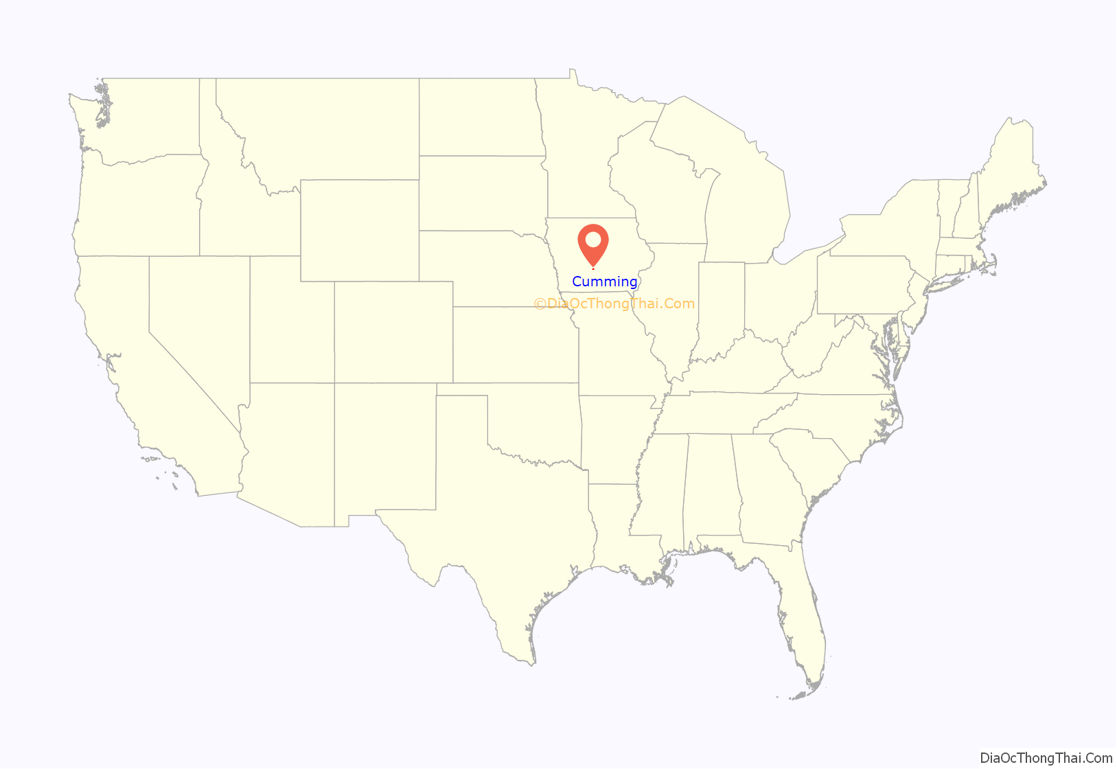
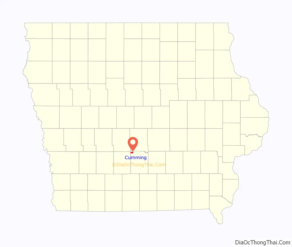
Cumming is a city in Warren County, Iowa, United States. The population was 436 at the time of the 2020 census. It is the hometown of former Senator Tom Harkin.
A part of the Des Moines–West Des Moines Metropolitan Statistical Area, Cumming is considered one of the smallest incorporated suburbs of the metro area. The smallest of all cities in the five-county metro area is Bevington, in Madison and Warren counties, which had a population of 58 in 2000.
| Name: | Cumming city |
|---|---|
| LSAD Code: | 25 |
| LSAD Description: | city (suffix) |
| State: | Iowa |
| County: | Warren County |
| Elevation: | 981 ft (299 m) |
| Total Area: | 2.54 sq mi (6.59 km²) |
| Land Area: | 2.54 sq mi (6.56 km²) |
| Water Area: | 0.01 sq mi (0.03 km²) |
| Total Population: | 436 |
| Population Density: | 171.99/sq mi (66.41/km²) |
| ZIP code: | 50061 |
| Area code: | 515 |
| FIPS code: | 1917850 |
| GNISfeature ID: | 0455755 |
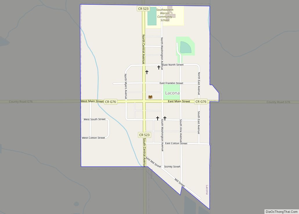
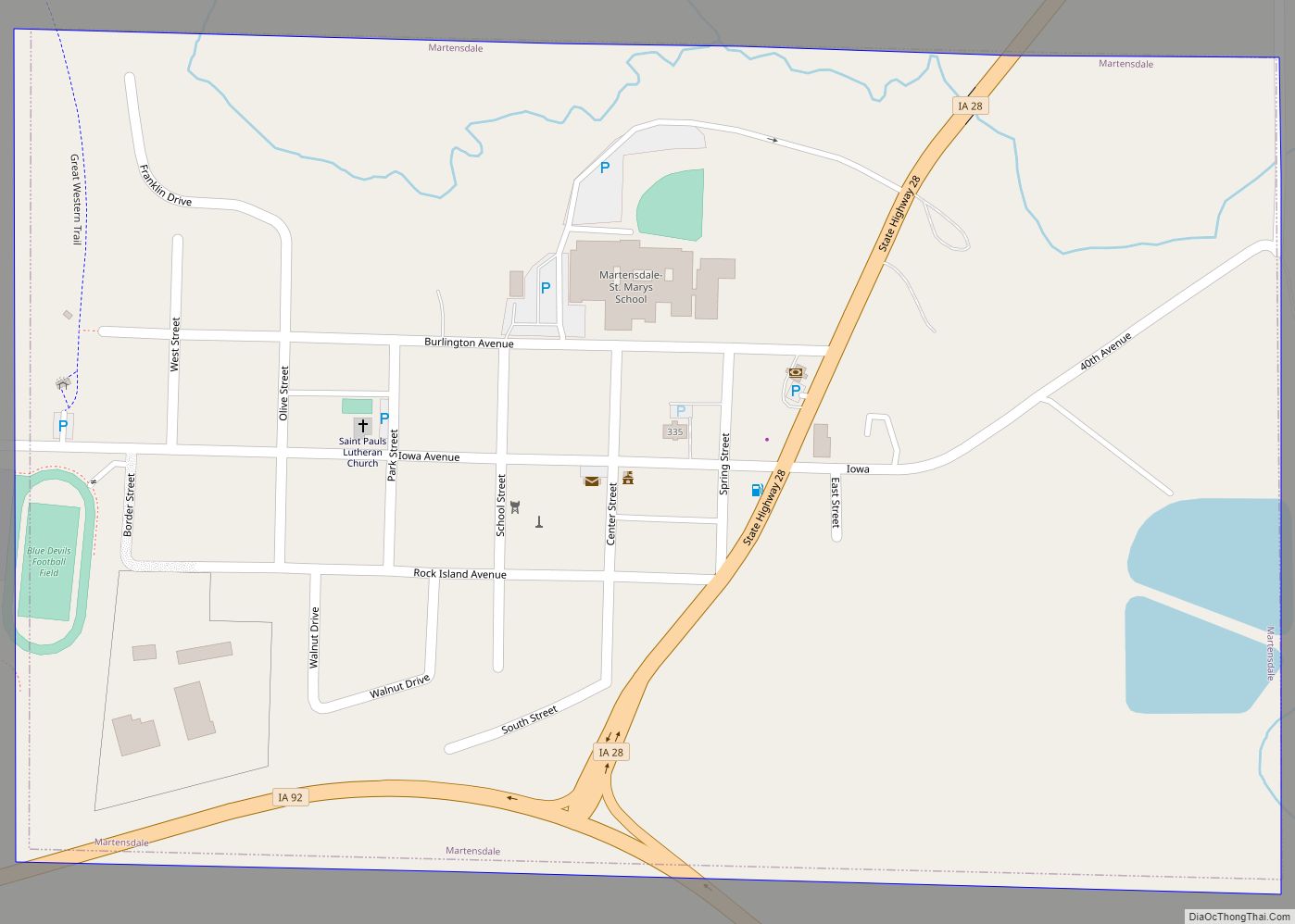
Online Interactive Map
Click on ![]() to view map in "full screen" mode.
to view map in "full screen" mode.
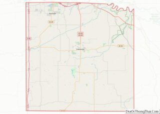
Cumming location map. Where is Cumming city?
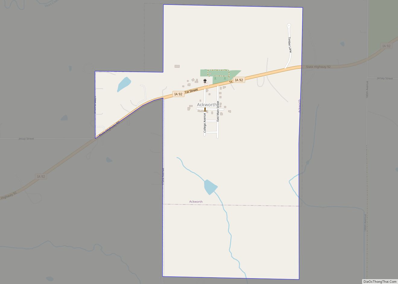
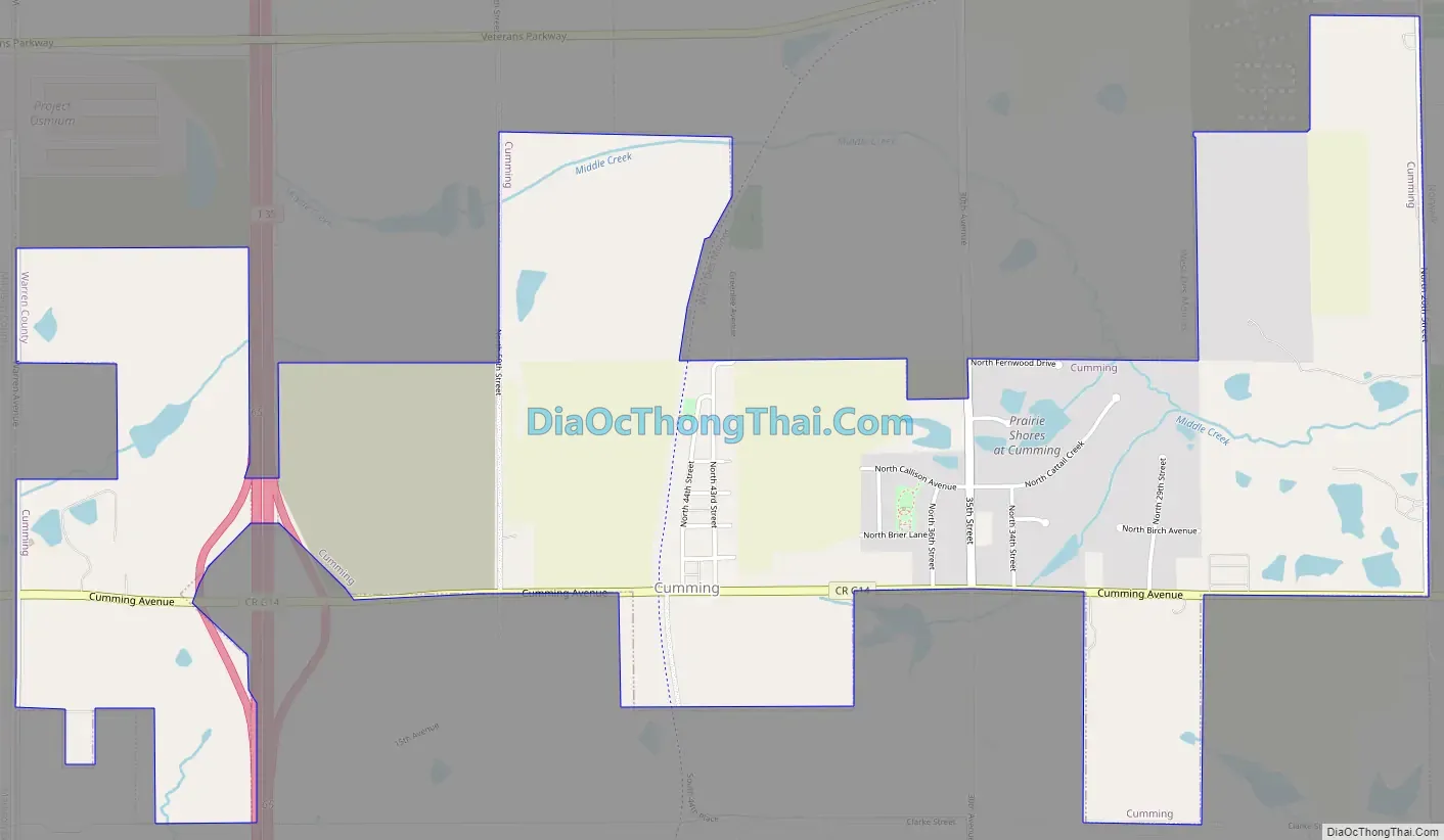
Cumming Road Map
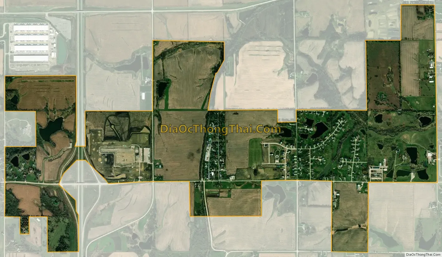
Cumming city Satellite Map
Geography
Cumming is located at 41°29′9″N 93°45′43″W / 41.48583°N 93.76194°W / 41.48583; -93.76194 (41.485723, -93.761929). According to the United States Census Bureau, the city has a total area of 2.57 square miles (6.66 km), of which, 2.56 square miles (6.63 km) is land and 0.01 square miles (0.03 km) is water.
The Great Western Trail passes through the city.
See also
Map of Iowa State and its subdivision:- Adair
- Adams
- Allamakee
- Appanoose
- Audubon
- Benton
- Black Hawk
- Boone
- Bremer
- Buchanan
- Buena Vista
- Butler
- Calhoun
- Carroll
- Cass
- Cedar
- Cerro Gordo
- Cherokee
- Chickasaw
- Clarke
- Clay
- Clayton
- Clinton
- Crawford
- Dallas
- Davis
- Decatur
- Delaware
- Des Moines
- Dickinson
- Dubuque
- Emmet
- Fayette
- Floyd
- Franklin
- Fremont
- Greene
- Grundy
- Guthrie
- Hamilton
- Hancock
- Hardin
- Harrison
- Henry
- Howard
- Humboldt
- Ida
- Iowa
- Jackson
- Jasper
- Jefferson
- Johnson
- Jones
- Keokuk
- Kossuth
- Lee
- Linn
- Louisa
- Lucas
- Lyon
- Madison
- Mahaska
- Marion
- Marshall
- Mills
- Mitchell
- Monona
- Monroe
- Montgomery
- Muscatine
- O'Brien
- Osceola
- Page
- Palo Alto
- Plymouth
- Pocahontas
- Polk
- Pottawattamie
- Poweshiek
- Ringgold
- Sac
- Scott
- Shelby
- Sioux
- Story
- Tama
- Taylor
- Union
- Van Buren
- Wapello
- Warren
- Washington
- Wayne
- Webster
- Winnebago
- Winneshiek
- Woodbury
- Worth
- Wright
- Alabama
- Alaska
- Arizona
- Arkansas
- California
- Colorado
- Connecticut
- Delaware
- District of Columbia
- Florida
- Georgia
- Hawaii
- Idaho
- Illinois
- Indiana
- Iowa
- Kansas
- Kentucky
- Louisiana
- Maine
- Maryland
- Massachusetts
- Michigan
- Minnesota
- Mississippi
- Missouri
- Montana
- Nebraska
- Nevada
- New Hampshire
- New Jersey
- New Mexico
- New York
- North Carolina
- North Dakota
- Ohio
- Oklahoma
- Oregon
- Pennsylvania
- Rhode Island
- South Carolina
- South Dakota
- Tennessee
- Texas
- Utah
- Vermont
- Virginia
- Washington
- West Virginia
- Wisconsin
- Wyoming