Dows is a city in Franklin and Wright counties of the U.S. state of Iowa. The population was 521 at the time of the 2020 census. The town was incorporated on May 3, 1892.
| Name: | Dows city |
|---|---|
| LSAD Code: | 25 |
| LSAD Description: | city (suffix) |
| State: | Iowa |
| County: | Franklin County, Wright County |
| Elevation: | 1,152 ft (351 m) |
| Total Area: | 0.79 sq mi (2.06 km²) |
| Land Area: | 0.77 sq mi (1.99 km²) |
| Water Area: | 0.03 sq mi (0.06 km²) |
| Total Population: | 521 |
| Population Density: | 677.50/sq mi (261.55/km²) |
| ZIP code: | 50071 |
| Area code: | 515 |
| FIPS code: | 1922305 |
| GNISfeature ID: | 0455978 |
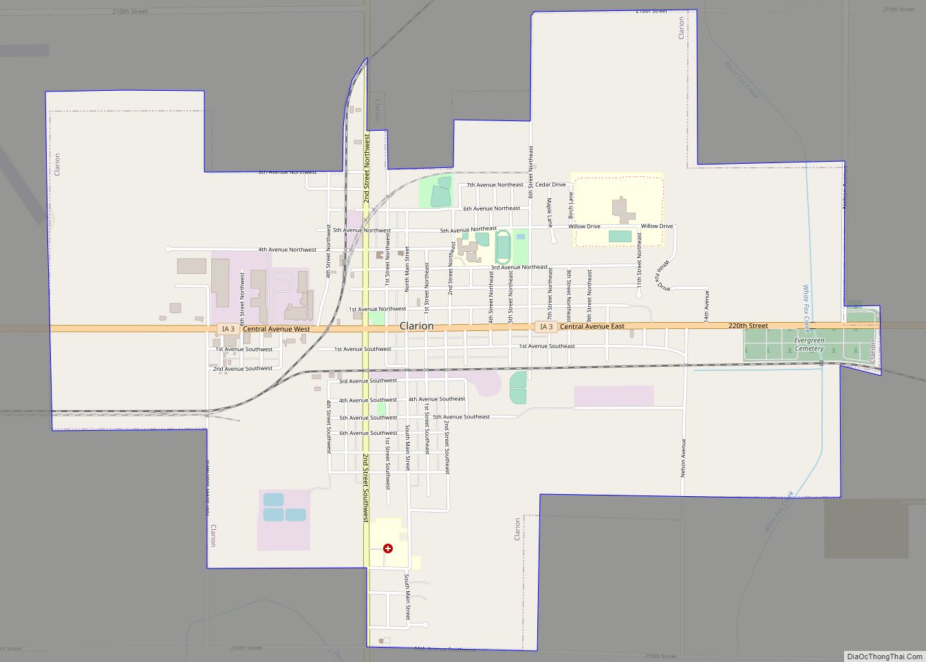
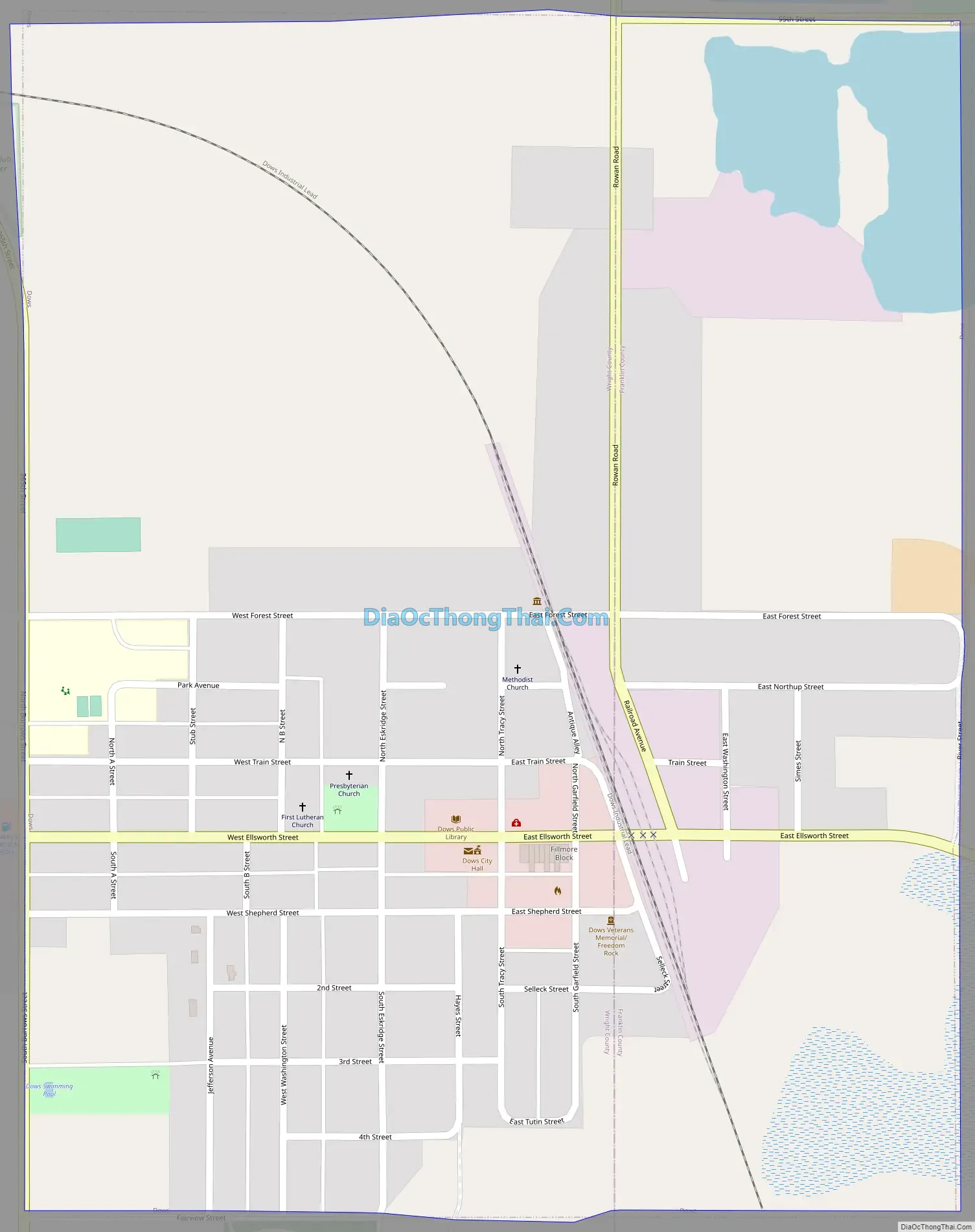
Online Interactive Map
Click on ![]() to view map in "full screen" mode.
to view map in "full screen" mode.
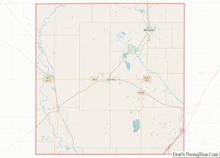
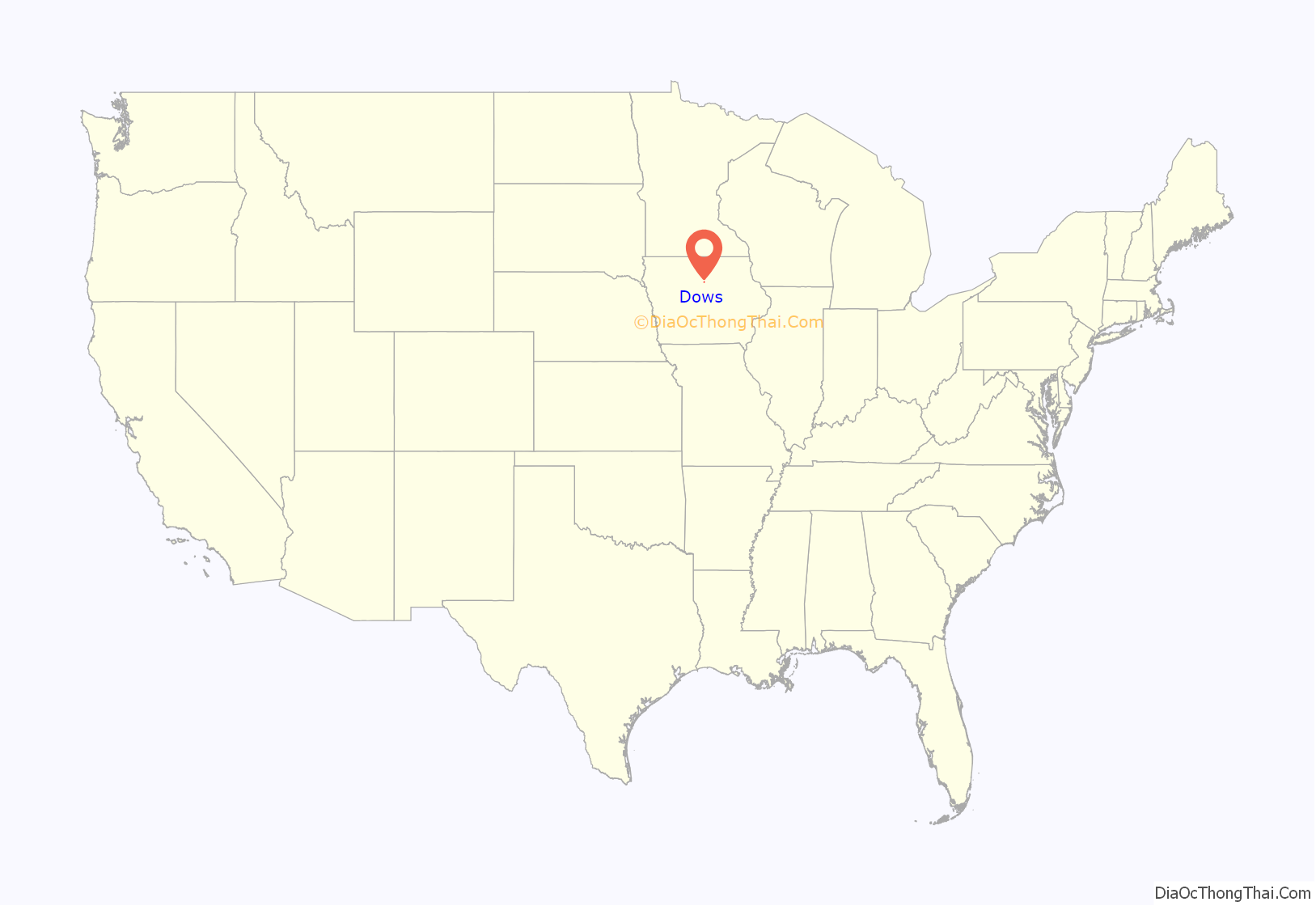
Dows location map. Where is Dows city?
History
Dows got its start in the year 1880, following construction of the railroad through that territory. Dows is named for a railroad contractor, Col. William Greene Dows.
Historical sites
The Dows Historical Society and community volunteers have restored several historical buildings, three of which are listed on the National Register of Historic Places. The Rock Island Depot in Dows was built in 1896. The historical society purchased and restored the depot in 1988 that houses an Iowa Welcome Center and historical railroad and community memorabilia. The Quasdorf Blacksmith and Wagon Museum was built in 1899 and was restored in 1990. This is one of the best equipped blacksmith shops in the Midwest. The Fillmore Building, a large cornerstone building on the south side of Main Street, was built in 1894 and has housed many businesses over the years. In 1987 the building was purchased by the historical society and restored. In 1989, the Dows Mercantile and Crème de la Crème were opened in the building. The Dows Mercantile is an antique mall covering three floors. The Crème de la Crème is a sandwich shop/ice cream parlor.
Burlington, Cedar Rapids & Northern Passenger Depot (later part of the Rock Island Railroad)
Quasdorf Blacksmith and Wagon Museum
Fillmore Building
The Vernon Township Schoolhouse was built in 1887 and is a typical of what one-room, country schoolhouses were like in the 19th and early 20th centuries. The building was moved to town and was restored both inside and out. The schoolhouse is furnished with original desks, blackboards, and books. Another historical building located in the downtown area is the Evans Prairie Home, located across from the Welcome Center.
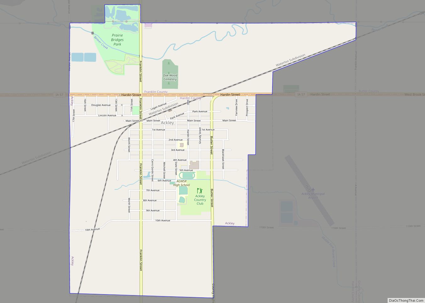
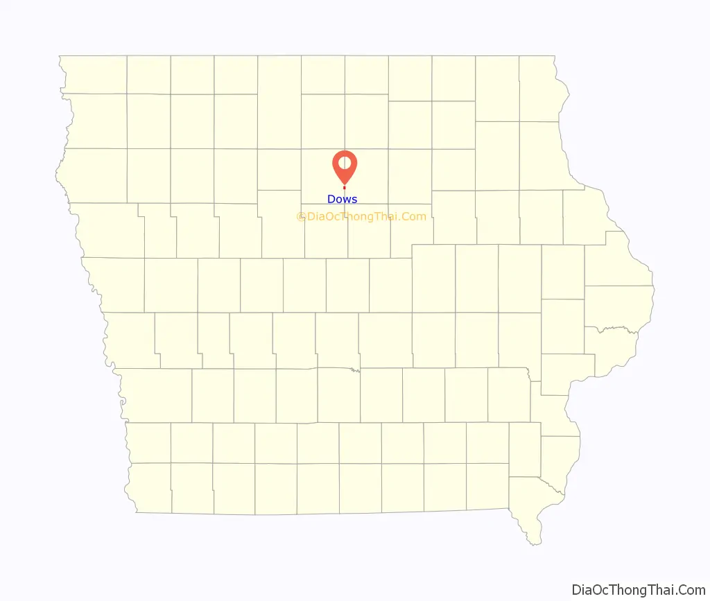
Dows Road Map
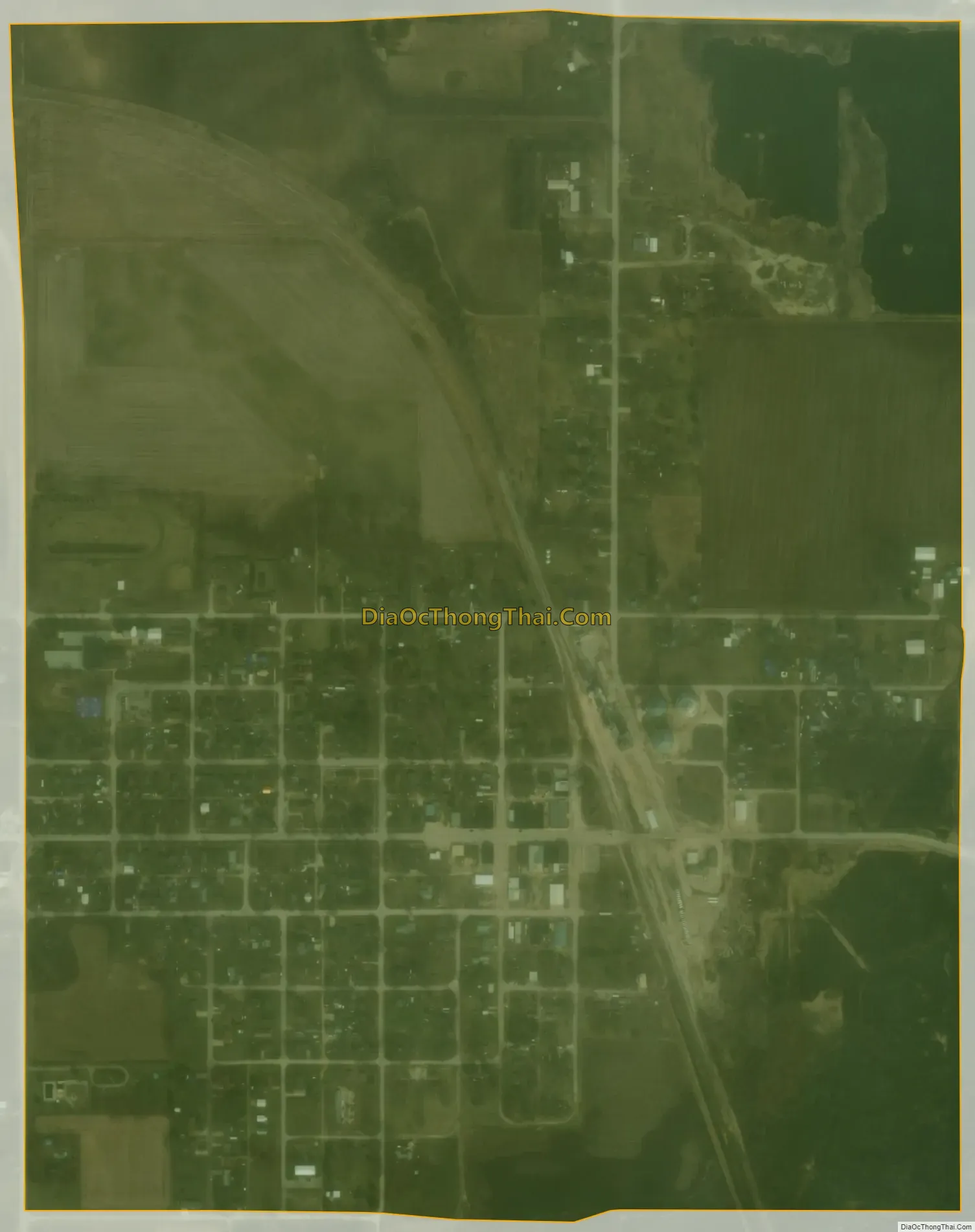
Dows city Satellite Map
Geography
Dows is located two miles (3.2 km) west of Interstate 35.
Dows is located at 42°39′25″N 93°30′8″W / 42.65694°N 93.50222°W / 42.65694; -93.50222 (42.656882, -93.502175).
According to the United States Census Bureau, the city has a total area of 0.80 square miles (2.07 km), of which 0.77 square miles (1.99 km) is land and 0.03 square miles (0.08 km) is water.
See also
Map of Iowa State and its subdivision:- Adair
- Adams
- Allamakee
- Appanoose
- Audubon
- Benton
- Black Hawk
- Boone
- Bremer
- Buchanan
- Buena Vista
- Butler
- Calhoun
- Carroll
- Cass
- Cedar
- Cerro Gordo
- Cherokee
- Chickasaw
- Clarke
- Clay
- Clayton
- Clinton
- Crawford
- Dallas
- Davis
- Decatur
- Delaware
- Des Moines
- Dickinson
- Dubuque
- Emmet
- Fayette
- Floyd
- Franklin
- Fremont
- Greene
- Grundy
- Guthrie
- Hamilton
- Hancock
- Hardin
- Harrison
- Henry
- Howard
- Humboldt
- Ida
- Iowa
- Jackson
- Jasper
- Jefferson
- Johnson
- Jones
- Keokuk
- Kossuth
- Lee
- Linn
- Louisa
- Lucas
- Lyon
- Madison
- Mahaska
- Marion
- Marshall
- Mills
- Mitchell
- Monona
- Monroe
- Montgomery
- Muscatine
- O'Brien
- Osceola
- Page
- Palo Alto
- Plymouth
- Pocahontas
- Polk
- Pottawattamie
- Poweshiek
- Ringgold
- Sac
- Scott
- Shelby
- Sioux
- Story
- Tama
- Taylor
- Union
- Van Buren
- Wapello
- Warren
- Washington
- Wayne
- Webster
- Winnebago
- Winneshiek
- Woodbury
- Worth
- Wright
- Alabama
- Alaska
- Arizona
- Arkansas
- California
- Colorado
- Connecticut
- Delaware
- District of Columbia
- Florida
- Georgia
- Hawaii
- Idaho
- Illinois
- Indiana
- Iowa
- Kansas
- Kentucky
- Louisiana
- Maine
- Maryland
- Massachusetts
- Michigan
- Minnesota
- Mississippi
- Missouri
- Montana
- Nebraska
- Nevada
- New Hampshire
- New Jersey
- New Mexico
- New York
- North Carolina
- North Dakota
- Ohio
- Oklahoma
- Oregon
- Pennsylvania
- Rhode Island
- South Carolina
- South Dakota
- Tennessee
- Texas
- Utah
- Vermont
- Virginia
- Washington
- West Virginia
- Wisconsin
- Wyoming