Eldon is a city in Wapello County, Iowa, United States. The population was 783 at the time of the 2020 census. It is the site of the small Carpenter Gothic style house that has come to be known as the American Gothic House. Artist Grant Wood used this home for the background in his world-famous 1930 painting American Gothic.
Eldon today is a regional tourist destination with visitors coming to visit the American Gothic House, the Historic Rock Island Railway depot, and the Historic McHaffey Opera House.
| Name: | Eldon city |
|---|---|
| LSAD Code: | 25 |
| LSAD Description: | city (suffix) |
| State: | Iowa |
| County: | Wapello County |
| Elevation: | 620 ft (189 m) |
| Total Area: | 1.10 sq mi (2.85 km²) |
| Land Area: | 1.09 sq mi (2.83 km²) |
| Water Area: | 0.01 sq mi (0.02 km²) |
| Total Population: | 783 |
| Population Density: | 715.72/sq mi (276.36/km²) |
| ZIP code: | 52554 |
| Area code: | 641 |
| FIPS code: | 1924420 |
| GNISfeature ID: | 0456263 |
Online Interactive Map
Click on ![]() to view map in "full screen" mode.
to view map in "full screen" mode.
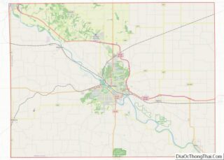
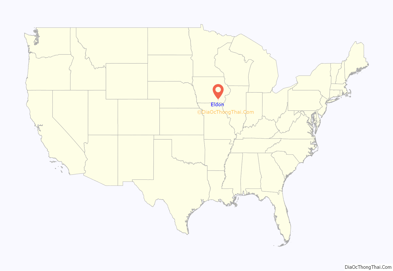
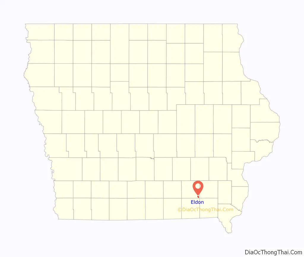
Eldon location map. Where is Eldon city?
History
Eldon got its start in the year 1870, following construction of the Keokuk and Des Moines Railway through the territory. It was incorporated in 1872.
Roseanne Barr and Tom Arnold, who was born in nearby Ottumwa, operated Roseanne and Tom’s Big Food Diner in Eldon from 1993 to 1995.
Eldon is also the home of the Wapello County Fair which began in 1868.
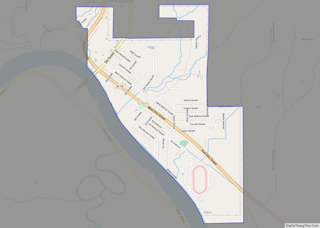
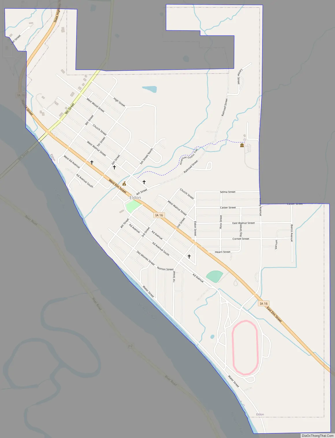
Eldon Road Map
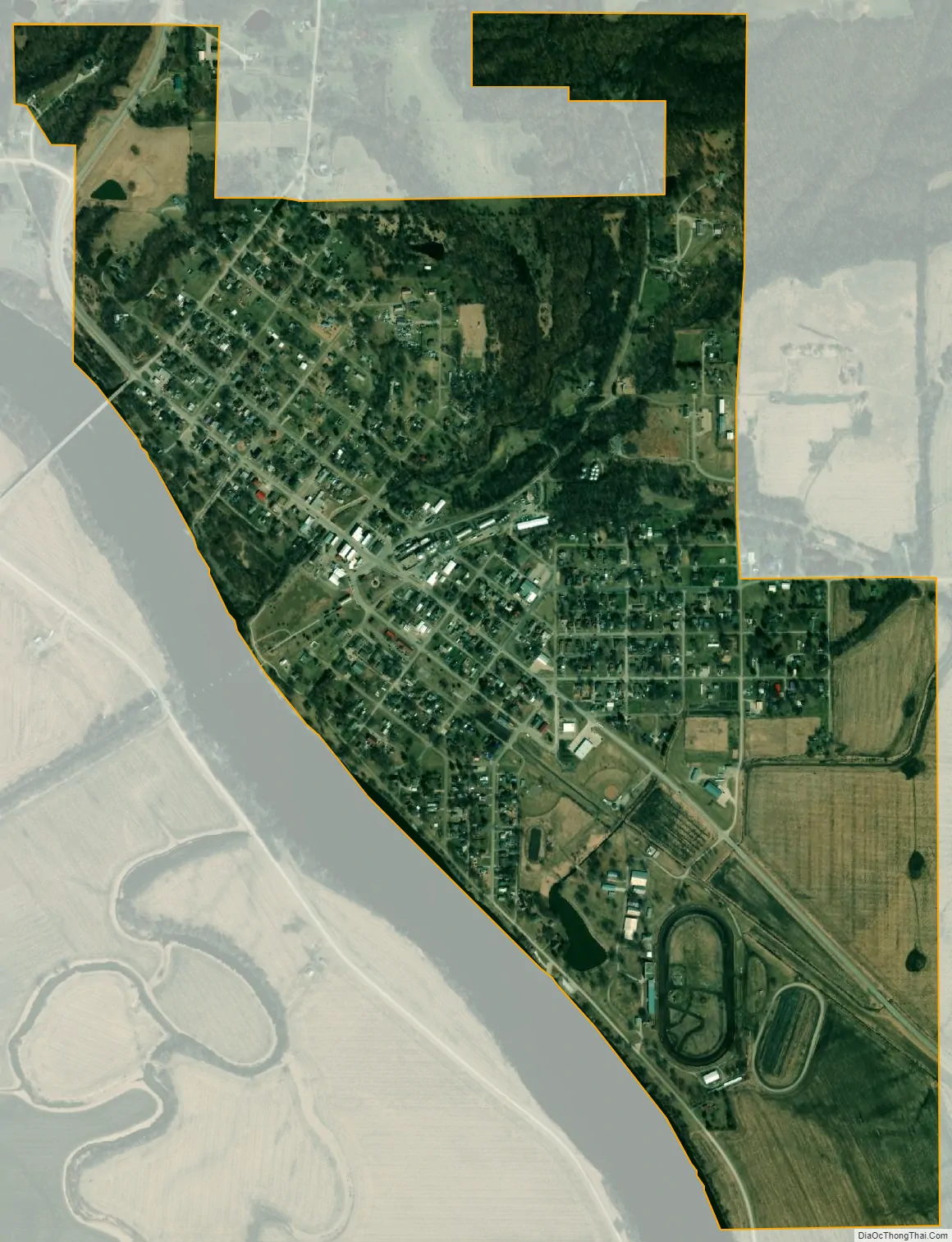
Eldon city Satellite Map
Geography
Eldon is located in the southeast corner of Wapello County eleven miles southeast of Ottumwa on the northeast bank of the Des Moines River across the river from the Soap creek confluence. Iowa Highway 16 passes through the community. The Eldon Water Management Area is across the river in adjacent Davis County two miles to the southwest along Soap Creek.
According to the United States Census Bureau, the city has a total area of 1.12 square miles (2.90 km), of which 1.11 square miles (2.87 km) is land and 0.01 square miles (0.03 km; 2.59 ha) is water.
See also
Map of Iowa State and its subdivision:- Adair
- Adams
- Allamakee
- Appanoose
- Audubon
- Benton
- Black Hawk
- Boone
- Bremer
- Buchanan
- Buena Vista
- Butler
- Calhoun
- Carroll
- Cass
- Cedar
- Cerro Gordo
- Cherokee
- Chickasaw
- Clarke
- Clay
- Clayton
- Clinton
- Crawford
- Dallas
- Davis
- Decatur
- Delaware
- Des Moines
- Dickinson
- Dubuque
- Emmet
- Fayette
- Floyd
- Franklin
- Fremont
- Greene
- Grundy
- Guthrie
- Hamilton
- Hancock
- Hardin
- Harrison
- Henry
- Howard
- Humboldt
- Ida
- Iowa
- Jackson
- Jasper
- Jefferson
- Johnson
- Jones
- Keokuk
- Kossuth
- Lee
- Linn
- Louisa
- Lucas
- Lyon
- Madison
- Mahaska
- Marion
- Marshall
- Mills
- Mitchell
- Monona
- Monroe
- Montgomery
- Muscatine
- O'Brien
- Osceola
- Page
- Palo Alto
- Plymouth
- Pocahontas
- Polk
- Pottawattamie
- Poweshiek
- Ringgold
- Sac
- Scott
- Shelby
- Sioux
- Story
- Tama
- Taylor
- Union
- Van Buren
- Wapello
- Warren
- Washington
- Wayne
- Webster
- Winnebago
- Winneshiek
- Woodbury
- Worth
- Wright
- Alabama
- Alaska
- Arizona
- Arkansas
- California
- Colorado
- Connecticut
- Delaware
- District of Columbia
- Florida
- Georgia
- Hawaii
- Idaho
- Illinois
- Indiana
- Iowa
- Kansas
- Kentucky
- Louisiana
- Maine
- Maryland
- Massachusetts
- Michigan
- Minnesota
- Mississippi
- Missouri
- Montana
- Nebraska
- Nevada
- New Hampshire
- New Jersey
- New Mexico
- New York
- North Carolina
- North Dakota
- Ohio
- Oklahoma
- Oregon
- Pennsylvania
- Rhode Island
- South Carolina
- South Dakota
- Tennessee
- Texas
- Utah
- Vermont
- Virginia
- Washington
- West Virginia
- Wisconsin
- Wyoming