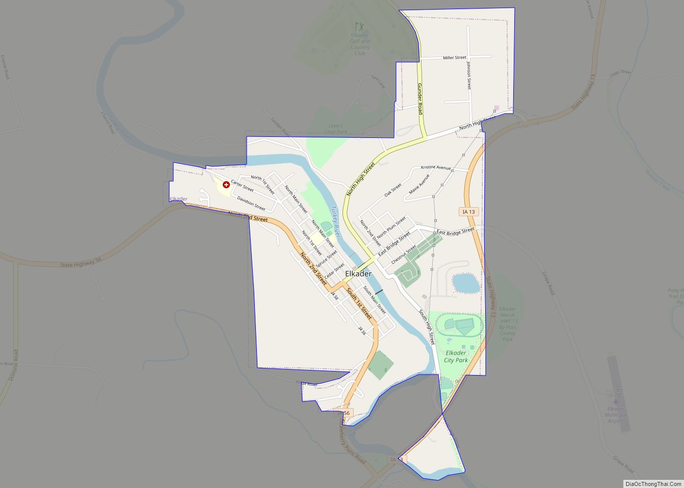
Elkader /ɛlˈkeɪdər/ is a city in Clayton County, Iowa, United States. The population was 1,209 at the time of the 2020 census, down from 1,465 in 2000. It is the county seat of Clayton County. It is the site of Iowa’s lowest recorded minimum temperature, −44 °C (−47 °F) on February 3, 1996.
| Name: | Elkader city |
|---|---|
| LSAD Code: | 25 |
| LSAD Description: | city (suffix) |
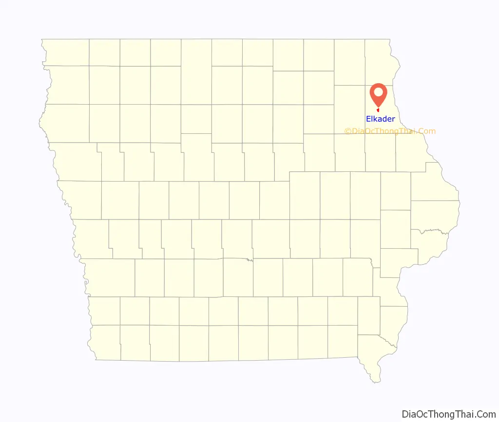
| State: | Iowa |
| County: | Clayton County |
| Elevation: | 732 ft (223 m) |
| Total Area: | 1.37 sq mi (3.54 km²) |
| Land Area: | 1.37 sq mi (3.54 km²) |
| Water Area: | 0.00 sq mi (0.00 km²) |
| Total Population: | 1,209 |
| Population Density: | 884.42/sq mi (341.39/km²) |
| ZIP code: | 52043 |
| Area code: | 563 |
| FIPS code: | 1924690 |
| GNISfeature ID: | 0456303 |
| Website: | elkader-iowa.com |
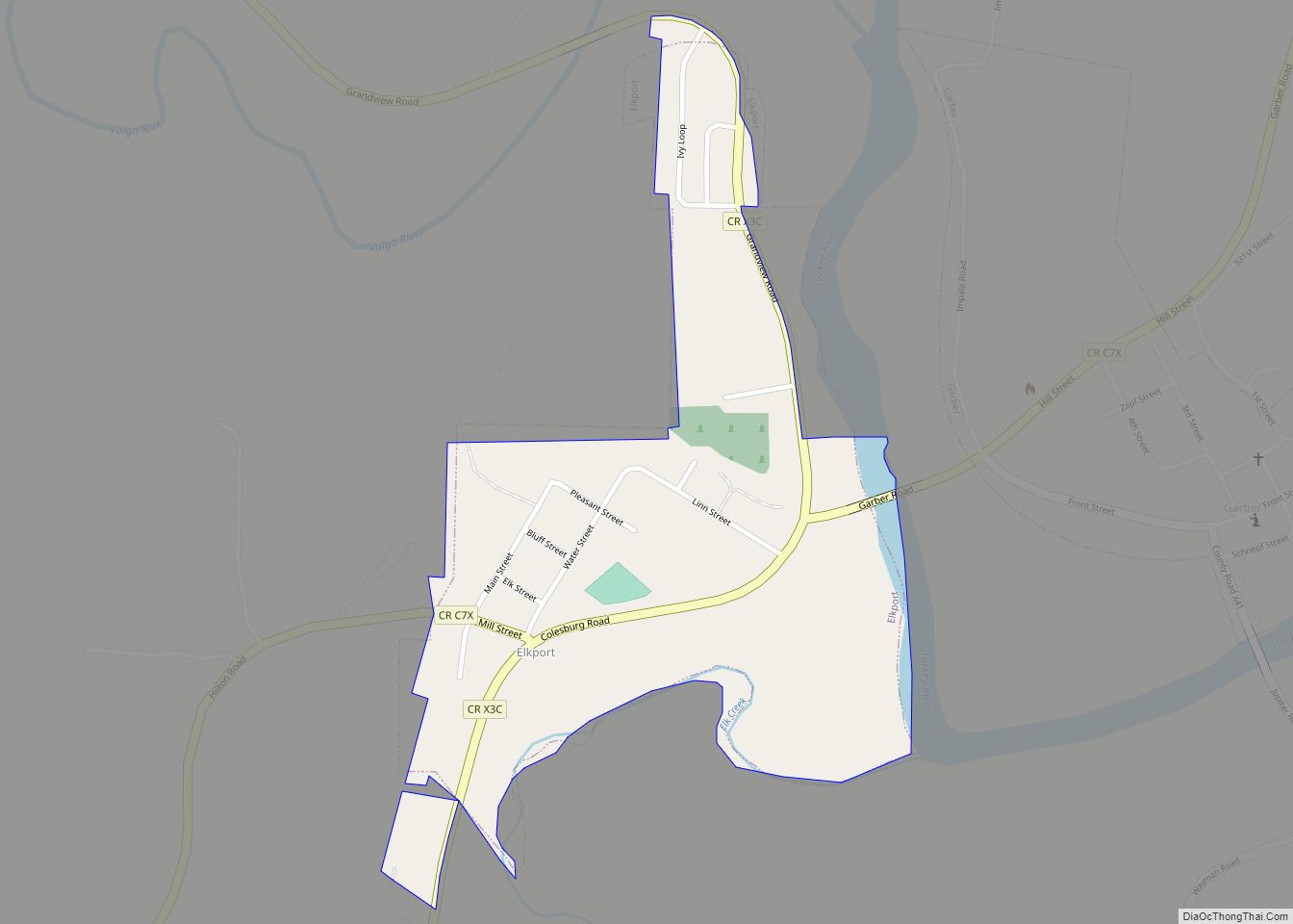
Online Interactive Map
Click on ![]() to view map in "full screen" mode.
to view map in "full screen" mode.
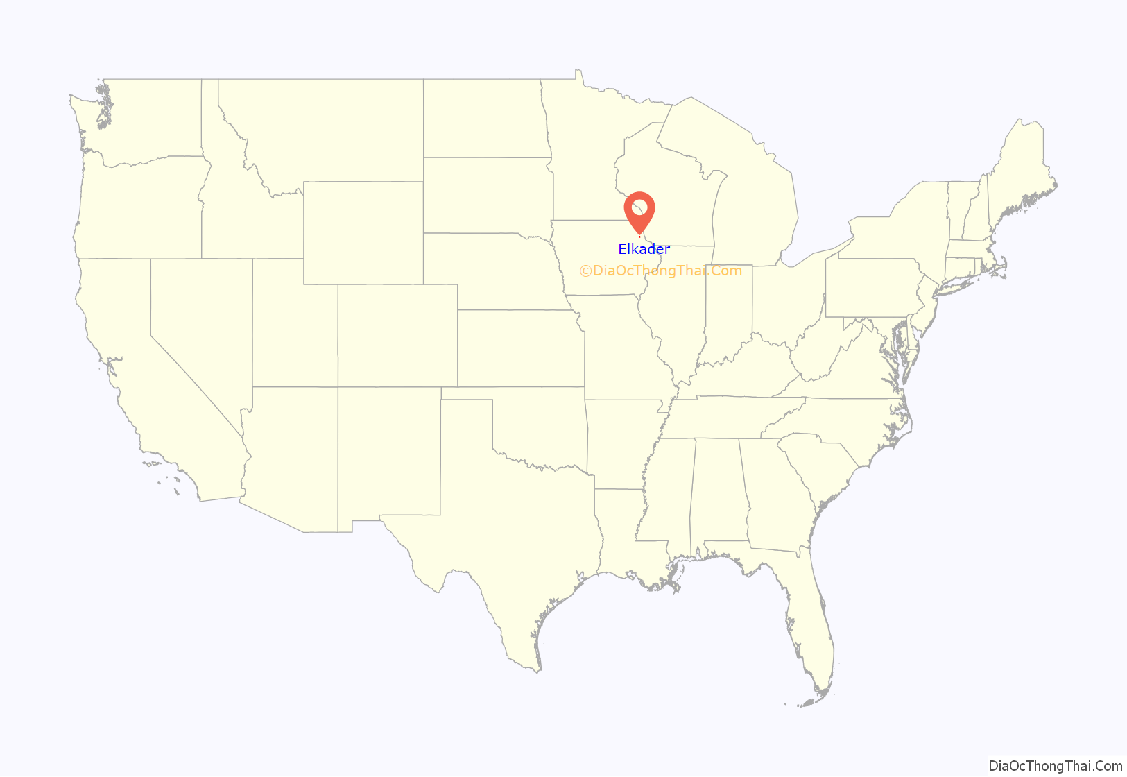
Elkader location map. Where is Elkader city?
History
The city is named after a Muslim Algerian leader, Emir Abdelkader. When the community was platted in 1846, the founders, Timothy Davis, John Thompson and Chester Sage decided to name it for the young Algerian who was leading his people in resisting the French conquest of Algeria.
The town is known for the Elkader Keystone Bridge over the Turkey River, said to be the largest stone arch bridge west of the Mississippi River. It, and many of the local buildings, are made from locally quarried sandstone. The town’s grocery store, Wilke’s, is the oldest continuously operated grocery store west of the Mississippi, as well. The city is also home to the renovated Victorian-era Elkader Opera House, and the Turkey River Mall, a 29-room hotel converted into antique stores.
The town featured in a WAMU World View documentary; “Couscous and cultural diplomacy”, a documentary that focuses on an openly gay couple, one of whom is Algerian, who settled in Elkader and opened an Algerian-American restaurant. The documentary describes how the couple have largely been accepted as part of the community yet wrestle with cultural adaptation, American identity, and small town politics, as well as many of the personal issues they experienced post 9/11.
The city was one of many in Iowa affected by the Iowa Flood of 2008, with flood waters from the Turkey River reaching historic levels.
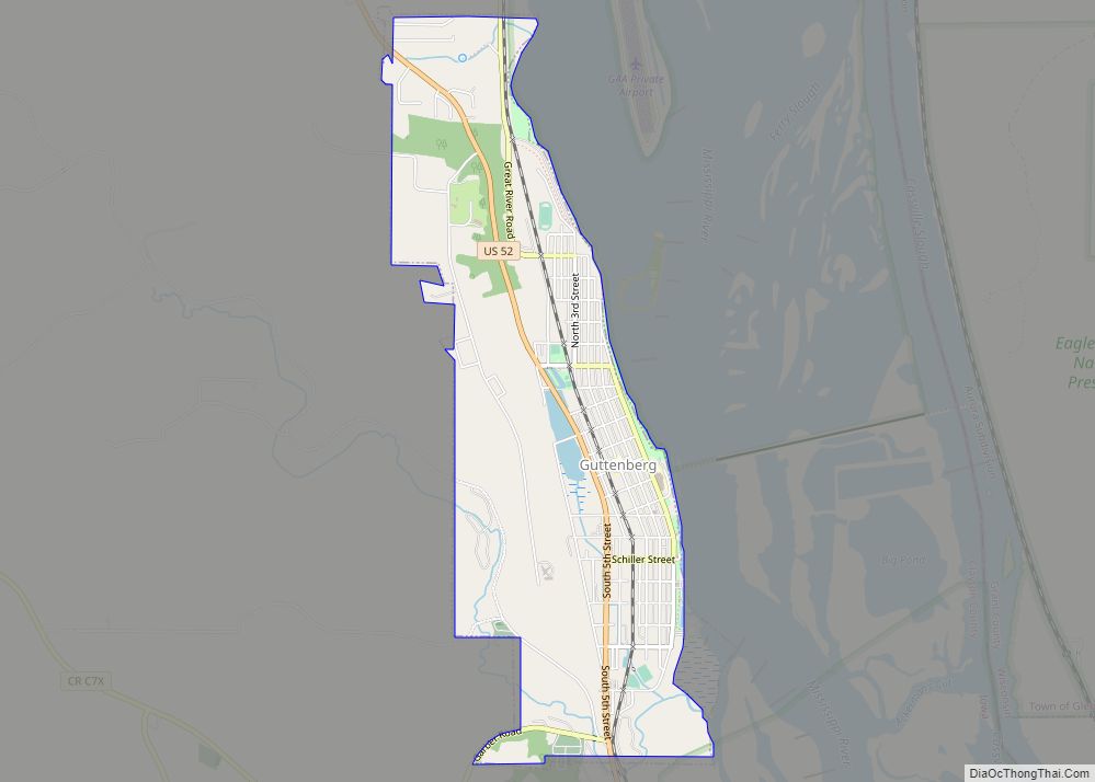
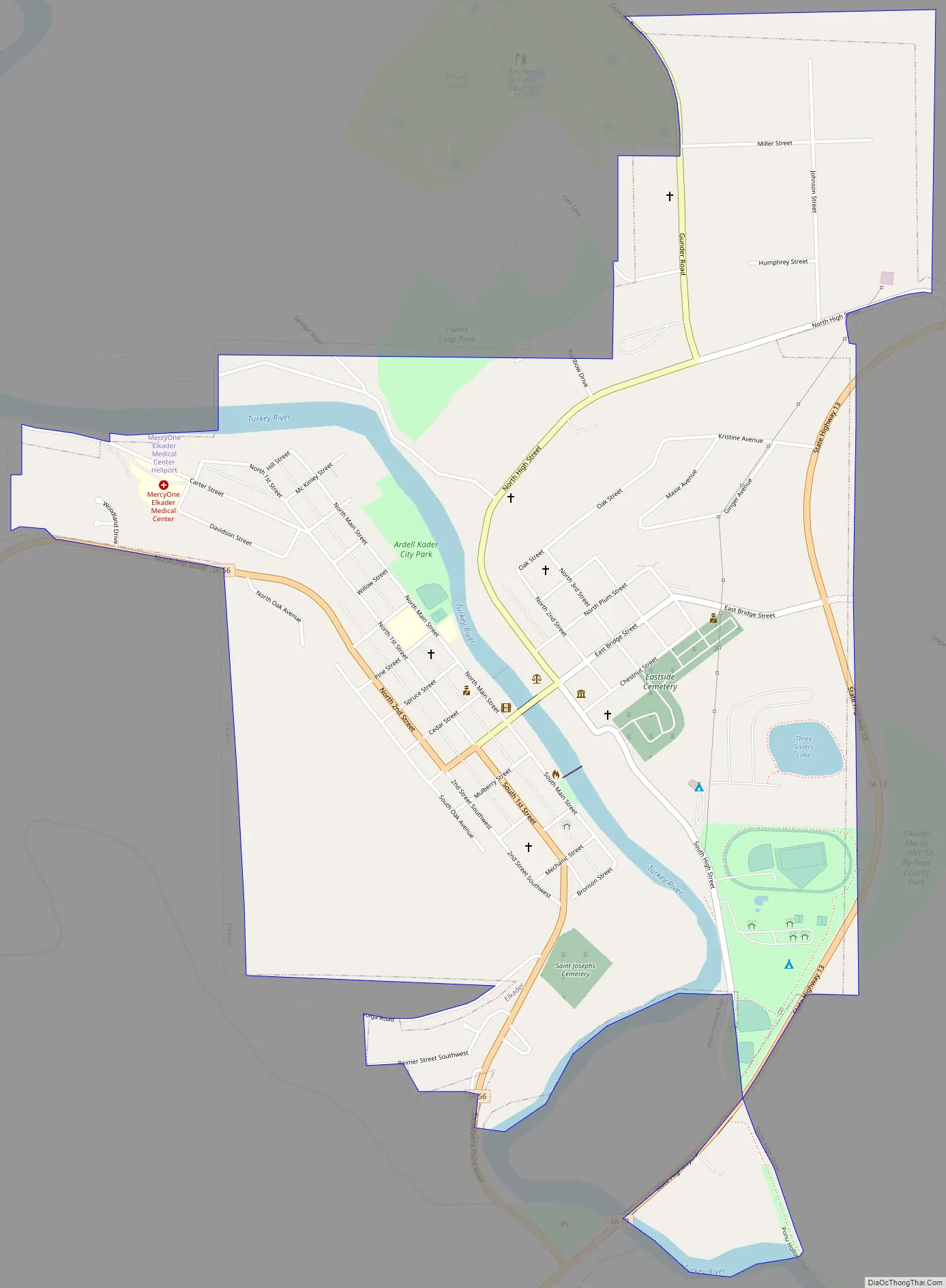
Elkader Road Map
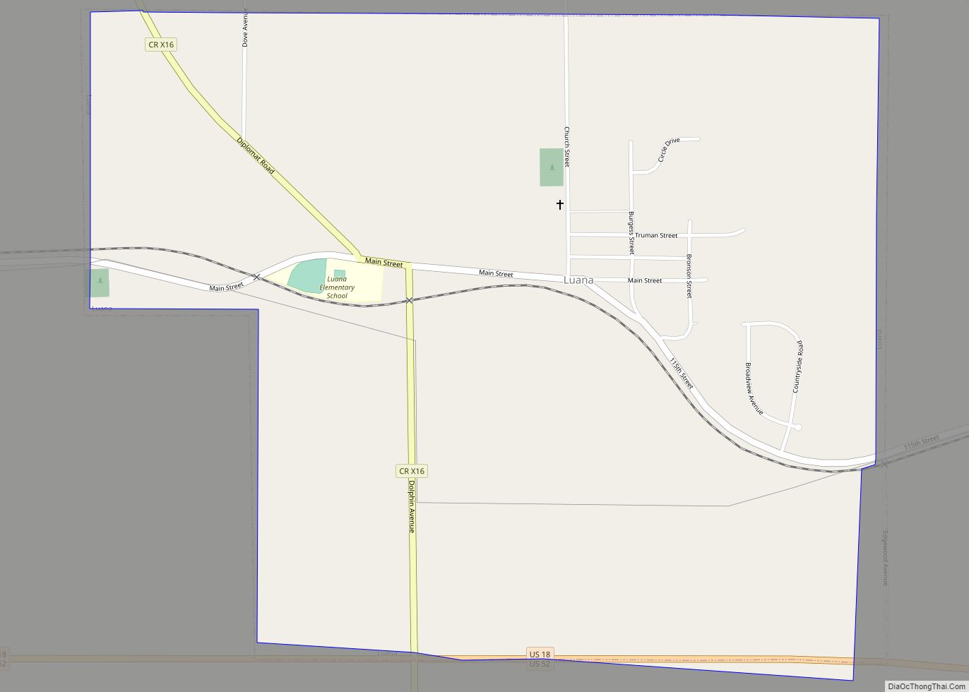
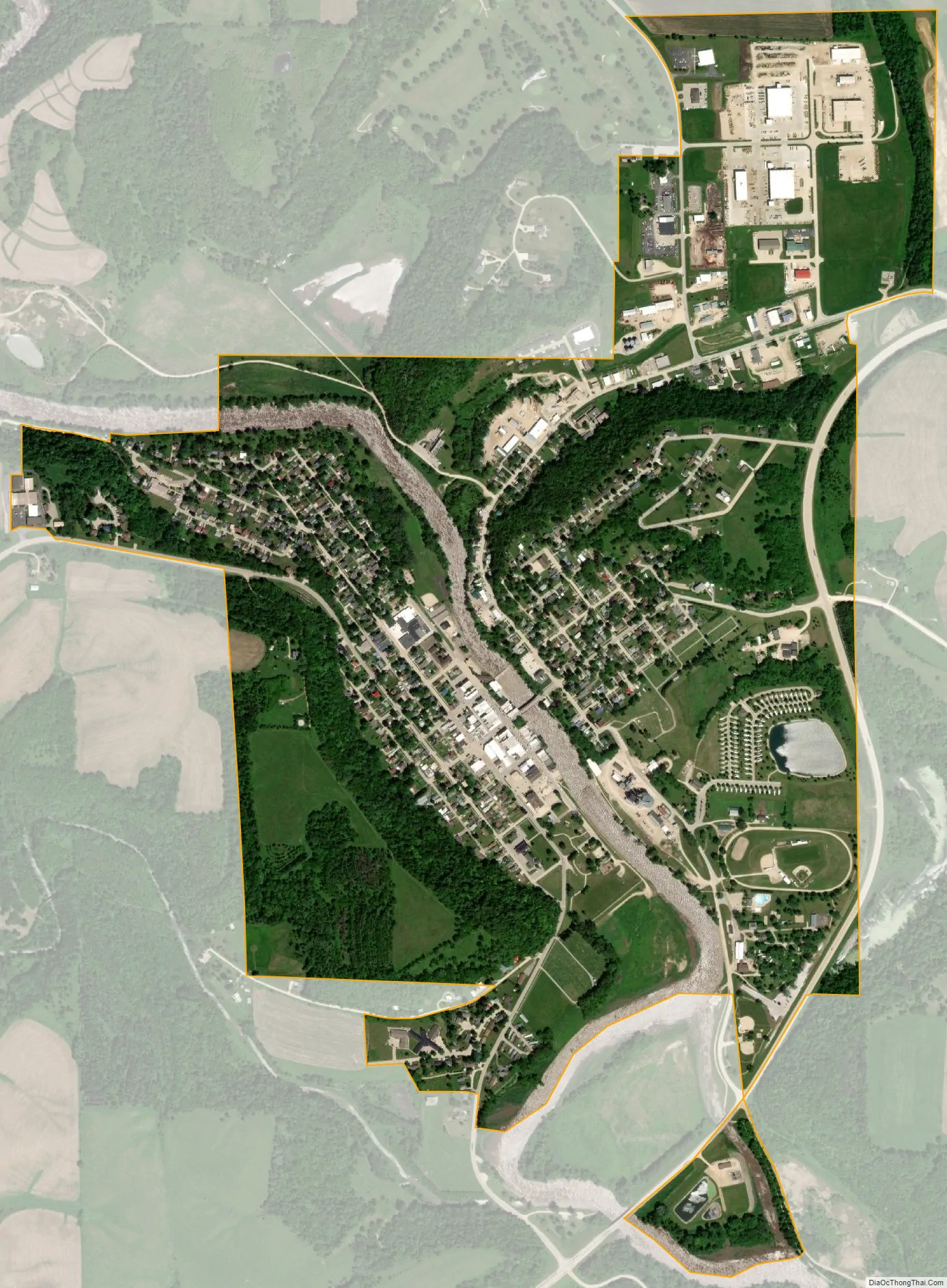
Elkader city Satellite Map
Geography
According to the United States Census Bureau, the city has a total area of 1.39 square miles (3.60 km), all land.
See also
Map of Iowa State and its subdivision:- Adair
- Adams
- Allamakee
- Appanoose
- Audubon
- Benton
- Black Hawk
- Boone
- Bremer
- Buchanan
- Buena Vista
- Butler
- Calhoun
- Carroll
- Cass
- Cedar
- Cerro Gordo
- Cherokee
- Chickasaw
- Clarke
- Clay
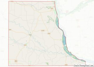
- Clayton
- Clinton
- Crawford
- Dallas
- Davis
- Decatur
- Delaware
- Des Moines
- Dickinson
- Dubuque
- Emmet
- Fayette
- Floyd
- Franklin
- Fremont
- Greene
- Grundy
- Guthrie
- Hamilton
- Hancock
- Hardin
- Harrison
- Henry
- Howard
- Humboldt
- Ida
- Iowa
- Jackson
- Jasper
- Jefferson
- Johnson
- Jones
- Keokuk
- Kossuth
- Lee
- Linn
- Louisa
- Lucas
- Lyon
- Madison
- Mahaska
- Marion
- Marshall
- Mills
- Mitchell
- Monona
- Monroe
- Montgomery
- Muscatine
- O'Brien
- Osceola
- Page
- Palo Alto
- Plymouth
- Pocahontas
- Polk
- Pottawattamie
- Poweshiek
- Ringgold
- Sac
- Scott
- Shelby
- Sioux
- Story
- Tama
- Taylor
- Union
- Van Buren
- Wapello
- Warren
- Washington
- Wayne
- Webster
- Winnebago
- Winneshiek
- Woodbury
- Worth
- Wright
- Alabama
- Alaska
- Arizona
- Arkansas
- California
- Colorado
- Connecticut
- Delaware
- District of Columbia
- Florida
- Georgia
- Hawaii
- Idaho
- Illinois
- Indiana
- Iowa
- Kansas
- Kentucky
- Louisiana
- Maine
- Maryland
- Massachusetts
- Michigan
- Minnesota
- Mississippi
- Missouri
- Montana
- Nebraska
- Nevada
- New Hampshire
- New Jersey
- New Mexico
- New York
- North Carolina
- North Dakota
- Ohio
- Oklahoma
- Oregon
- Pennsylvania
- Rhode Island
- South Carolina
- South Dakota
- Tennessee
- Texas
- Utah
- Vermont
- Virginia
- Washington
- West Virginia
- Wisconsin
- Wyoming