Ely is a city in Linn County, Iowa. The population was 2,328 at the time of the 2020 census. It is part of the Cedar Rapids metropolitan area
| Name: | Ely city |
|---|---|
| LSAD Code: | 25 |
| LSAD Description: | city (suffix) |
| State: | Iowa |
| County: | Linn County |
| Elevation: | 738 ft (225 m) |
| Total Area: | 1.64 sq mi (4.25 km²) |
| Land Area: | 1.64 sq mi (4.24 km²) |
| Water Area: | 0.00 sq mi (0.01 km²) |
| Total Population: | 2,328 |
| Population Density: | 1,422.11/sq mi (549.02/km²) |
| ZIP code: | 52227 |
| Area code: | 319 |
| FIPS code: | 1925365 |
| GNISfeature ID: | 0456356 |
Online Interactive Map
Click on ![]() to view map in "full screen" mode.
to view map in "full screen" mode.
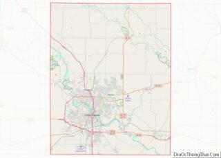
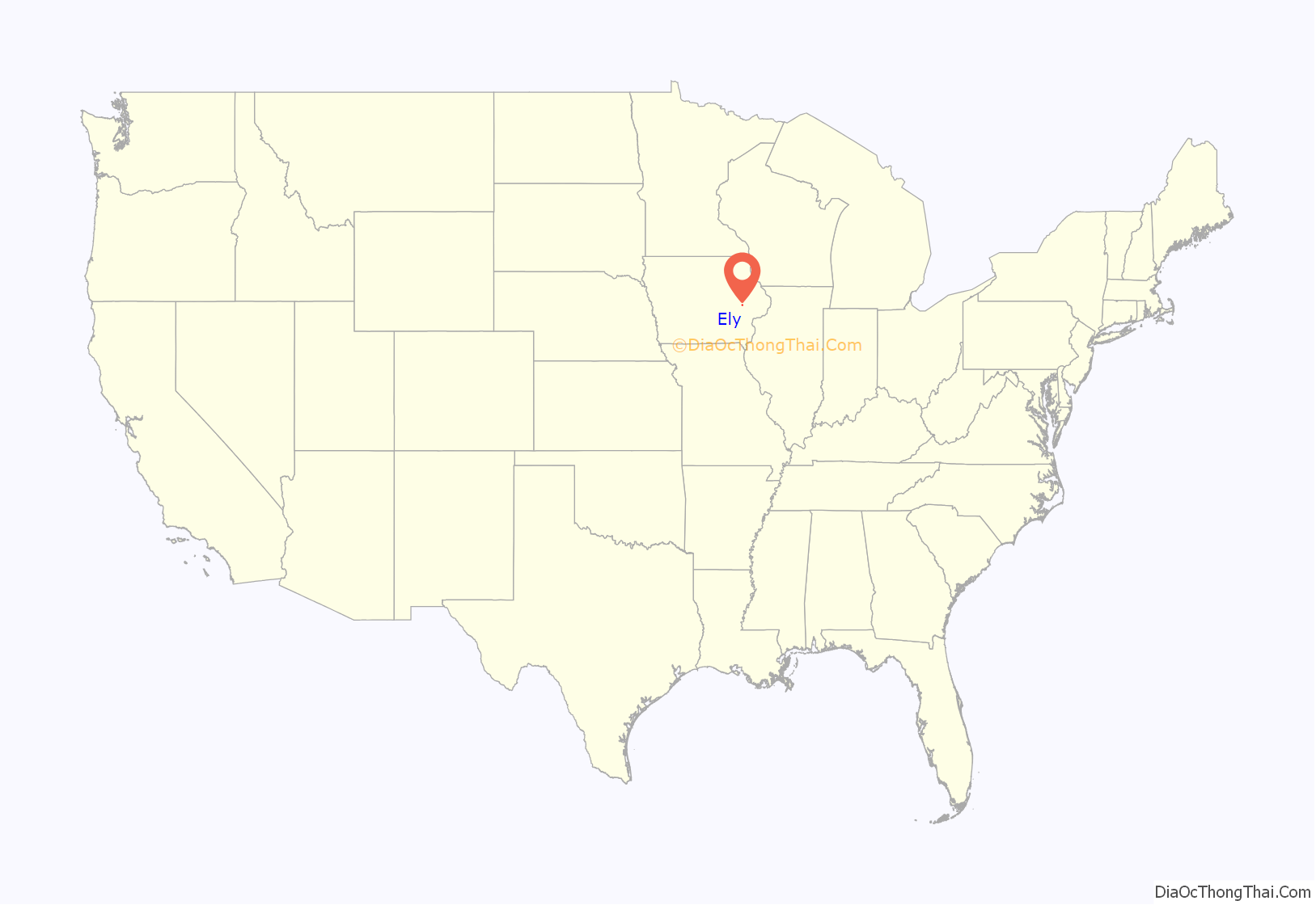
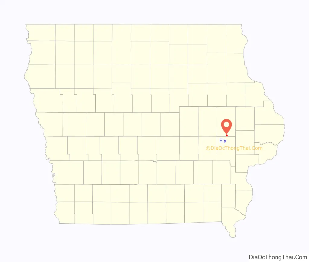
Ely location map. Where is Ely city?
History
Ely was platted in June 1872 by T.M. Johnson. The town is named after John F. Ely, who was one of the pioneers of Linn county, a prominent railroad builder in the early days and one of the officers and stockholders of the Burlington, Cedar Rapids and Northern Railway.
After the railroad was established in town more buildings were erected including a warehouse by Andrew Fuhrmeister, a store building by Jerry Smith, a bar, and a drug and hardware store were also built as more and more people began moving into town.
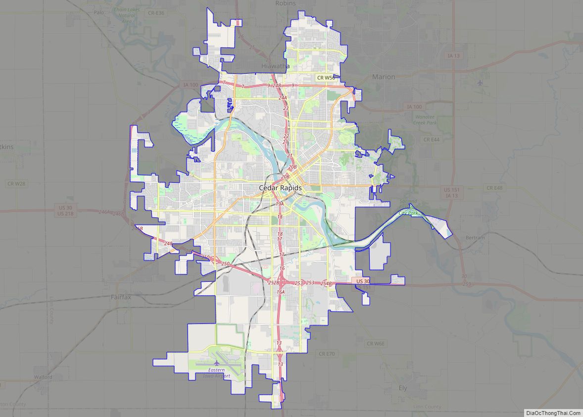
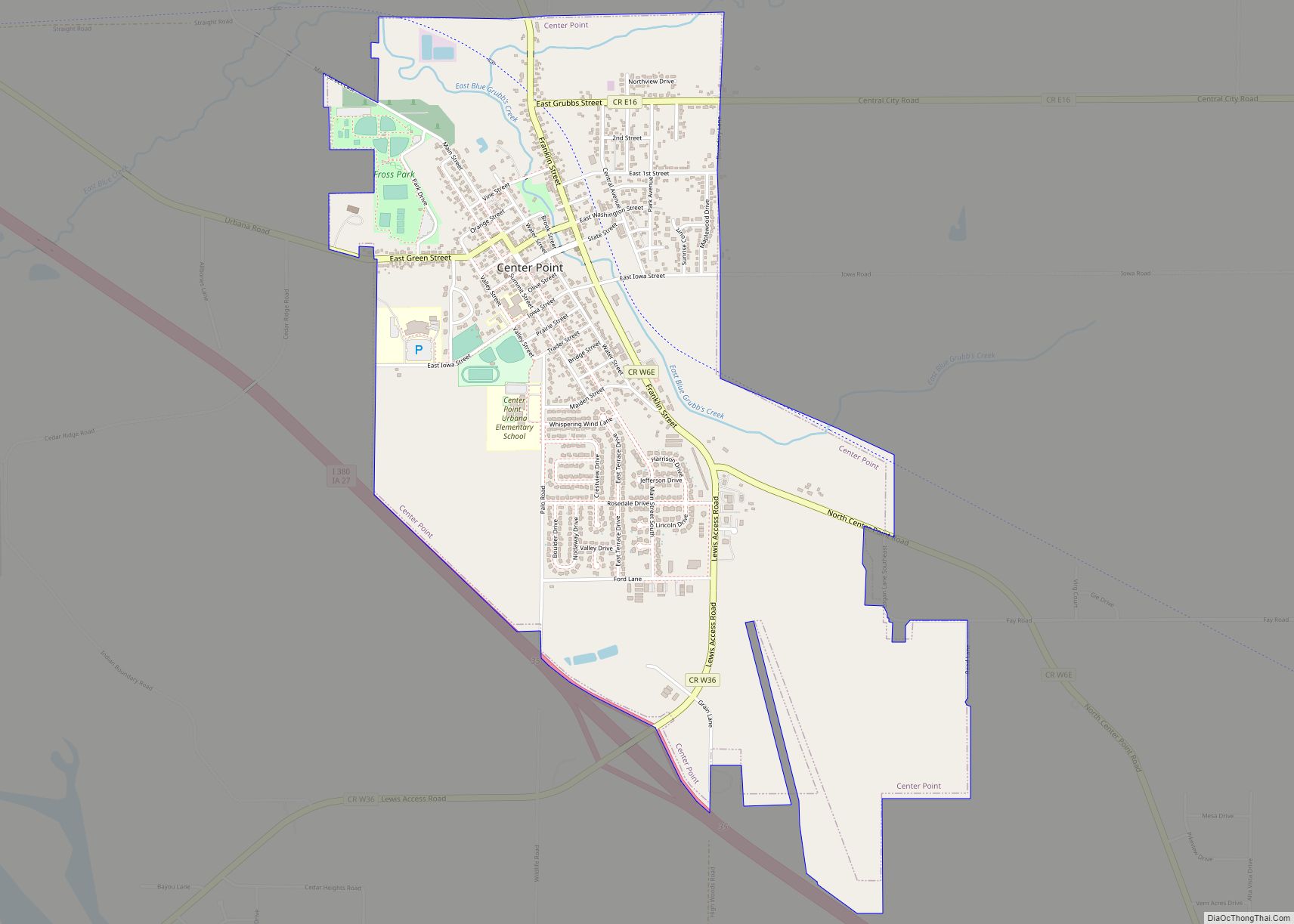
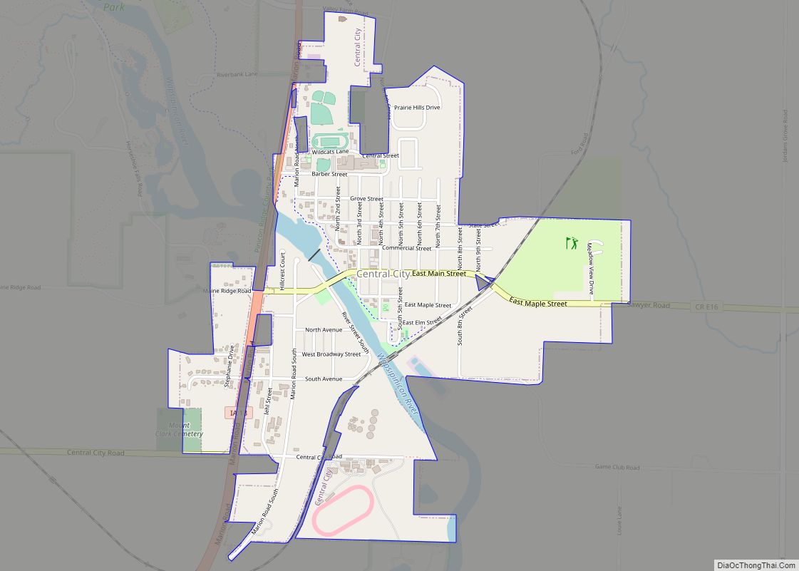
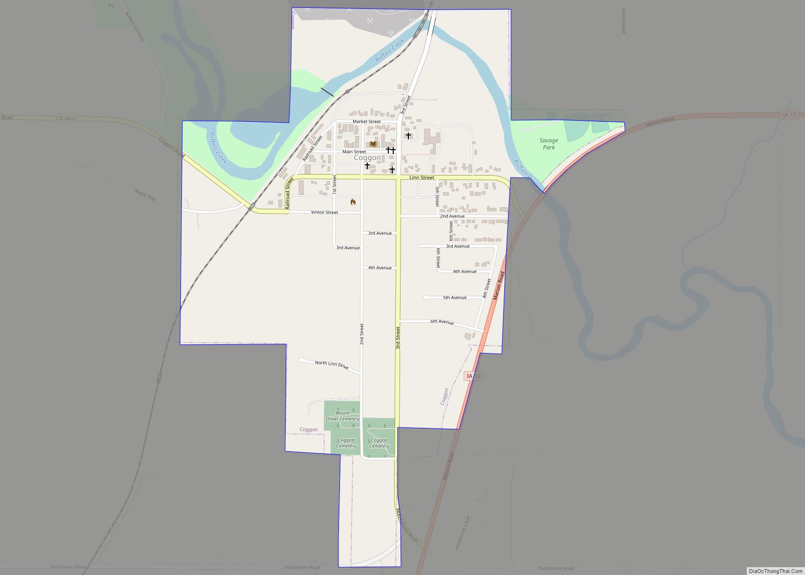
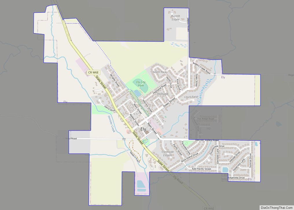
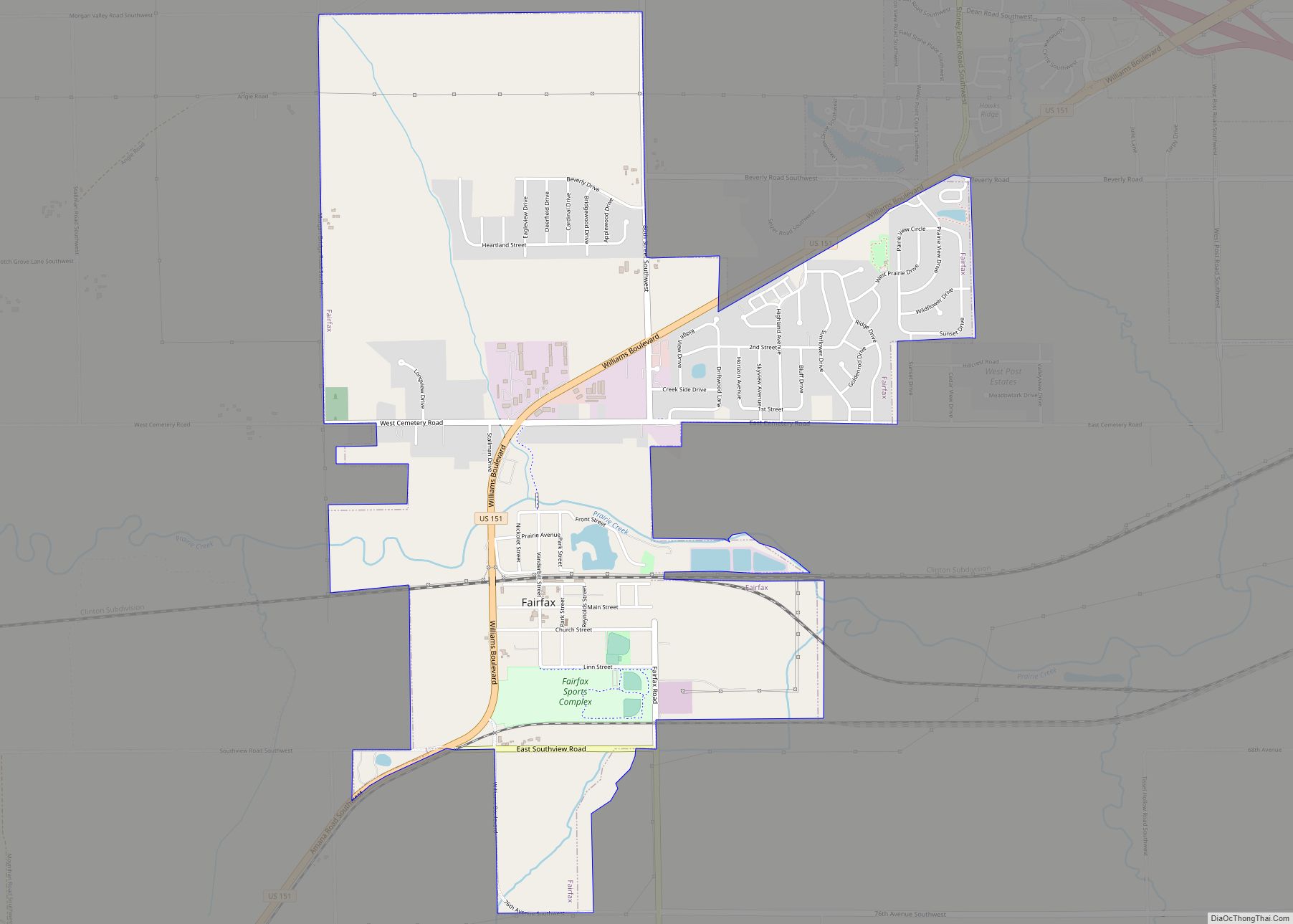
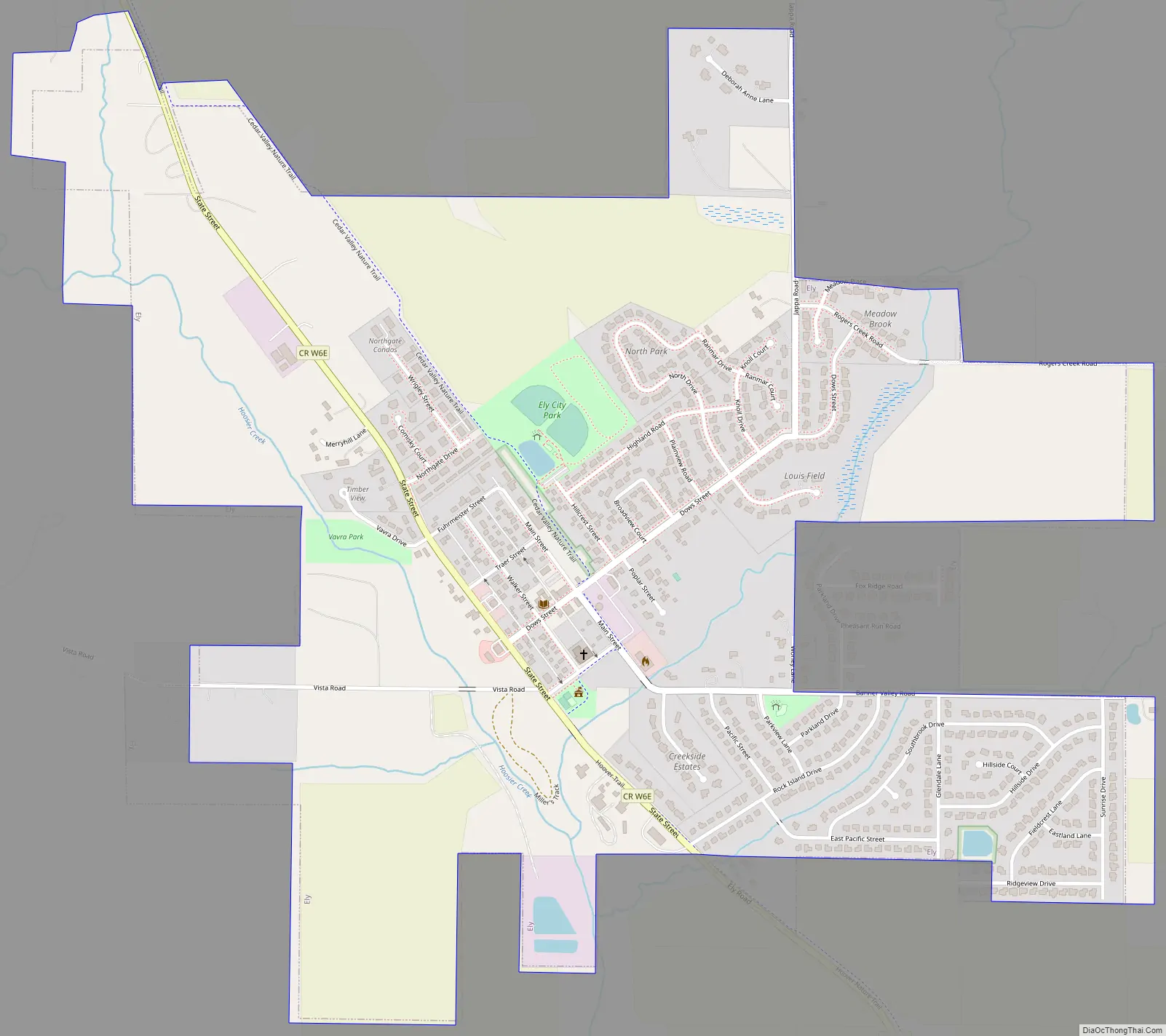
Ely Road Map
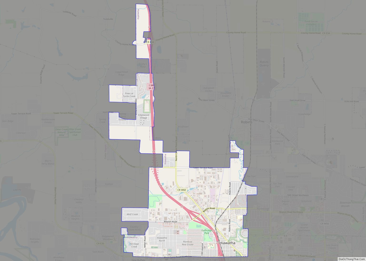
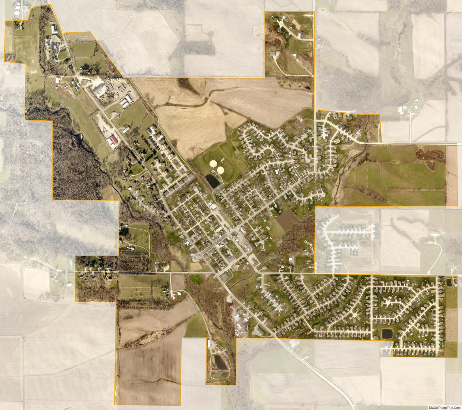
Ely city Satellite Map
Geography
Ely is located at 41°52′32″N 91°34′59″W / 41.87556°N 91.58306°W / 41.87556; -91.58306 (41.875431, -91.583061).
According to the United States Census Bureau, the city has a total area of 1.44 square miles (3.73 km), all land.
See also
Map of Iowa State and its subdivision:- Adair
- Adams
- Allamakee
- Appanoose
- Audubon
- Benton
- Black Hawk
- Boone
- Bremer
- Buchanan
- Buena Vista
- Butler
- Calhoun
- Carroll
- Cass
- Cedar
- Cerro Gordo
- Cherokee
- Chickasaw
- Clarke
- Clay
- Clayton
- Clinton
- Crawford
- Dallas
- Davis
- Decatur
- Delaware
- Des Moines
- Dickinson
- Dubuque
- Emmet
- Fayette
- Floyd
- Franklin
- Fremont
- Greene
- Grundy
- Guthrie
- Hamilton
- Hancock
- Hardin
- Harrison
- Henry
- Howard
- Humboldt
- Ida
- Iowa
- Jackson
- Jasper
- Jefferson
- Johnson
- Jones
- Keokuk
- Kossuth
- Lee
- Linn
- Louisa
- Lucas
- Lyon
- Madison
- Mahaska
- Marion
- Marshall
- Mills
- Mitchell
- Monona
- Monroe
- Montgomery
- Muscatine
- O'Brien
- Osceola
- Page
- Palo Alto
- Plymouth
- Pocahontas
- Polk
- Pottawattamie
- Poweshiek
- Ringgold
- Sac
- Scott
- Shelby
- Sioux
- Story
- Tama
- Taylor
- Union
- Van Buren
- Wapello
- Warren
- Washington
- Wayne
- Webster
- Winnebago
- Winneshiek
- Woodbury
- Worth
- Wright
- Alabama
- Alaska
- Arizona
- Arkansas
- California
- Colorado
- Connecticut
- Delaware
- District of Columbia
- Florida
- Georgia
- Hawaii
- Idaho
- Illinois
- Indiana
- Iowa
- Kansas
- Kentucky
- Louisiana
- Maine
- Maryland
- Massachusetts
- Michigan
- Minnesota
- Mississippi
- Missouri
- Montana
- Nebraska
- Nevada
- New Hampshire
- New Jersey
- New Mexico
- New York
- North Carolina
- North Dakota
- Ohio
- Oklahoma
- Oregon
- Pennsylvania
- Rhode Island
- South Carolina
- South Dakota
- Tennessee
- Texas
- Utah
- Vermont
- Virginia
- Washington
- West Virginia
- Wisconsin
- Wyoming