Exline is a city in Appanoose County, Iowa, United States. The population was 160 in the 2020 census, a decline from 191 in 2000.
| Name: | Exline city |
|---|---|
| LSAD Code: | 25 |
| LSAD Description: | city (suffix) |
| State: | Iowa |
| County: | Appanoose County |
| Incorporated: | June 20, 1904 |
| Elevation: | 1,020 ft (311 m) |
| Total Area: | 0.99 sq mi (2.57 km²) |
| Land Area: | 0.99 sq mi (2.57 km²) |
| Water Area: | 0.00 sq mi (0.00 km²) |
| Total Population: | 160 |
| Population Density: | 161.13/sq mi (62.19/km²) |
| ZIP code: | 52555 |
| Area code: | 641 |
| FIPS code: | 1926310 |
| GNISfeature ID: | 0456457 |
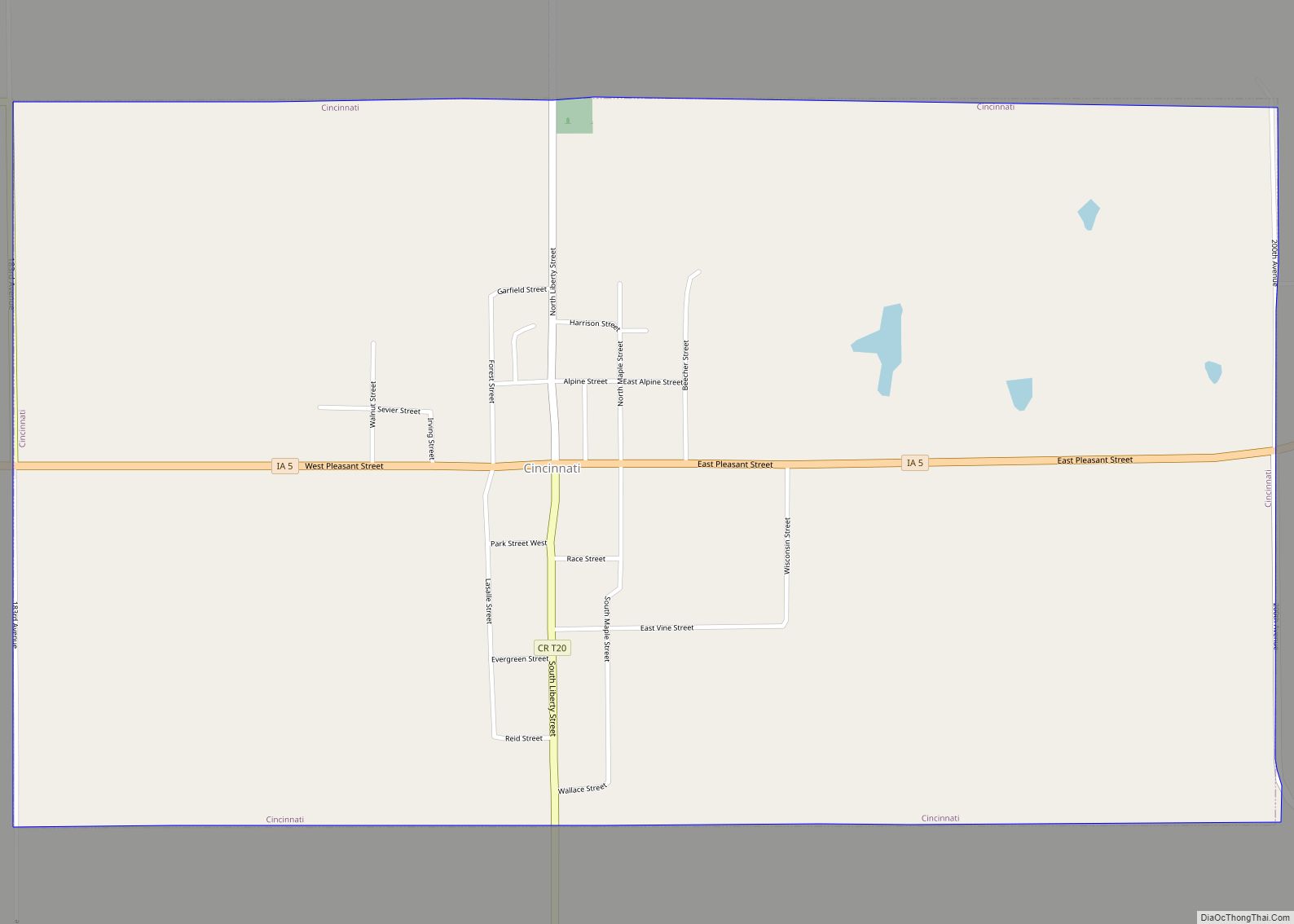
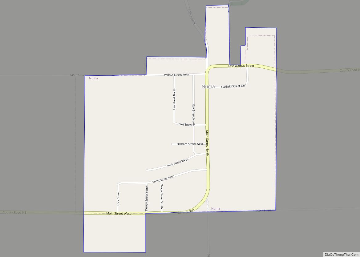
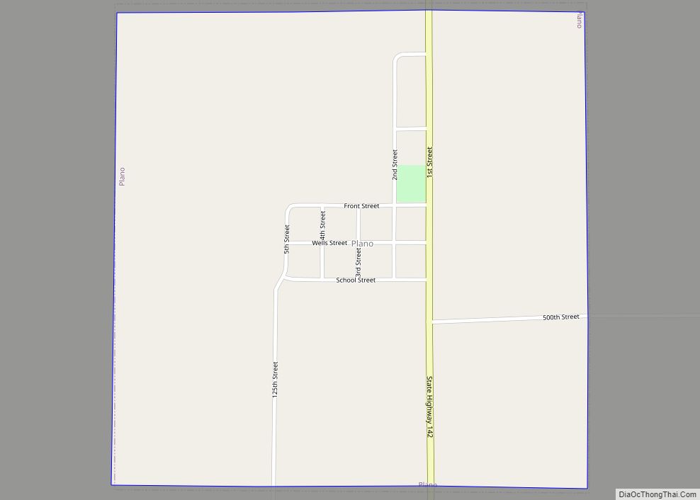
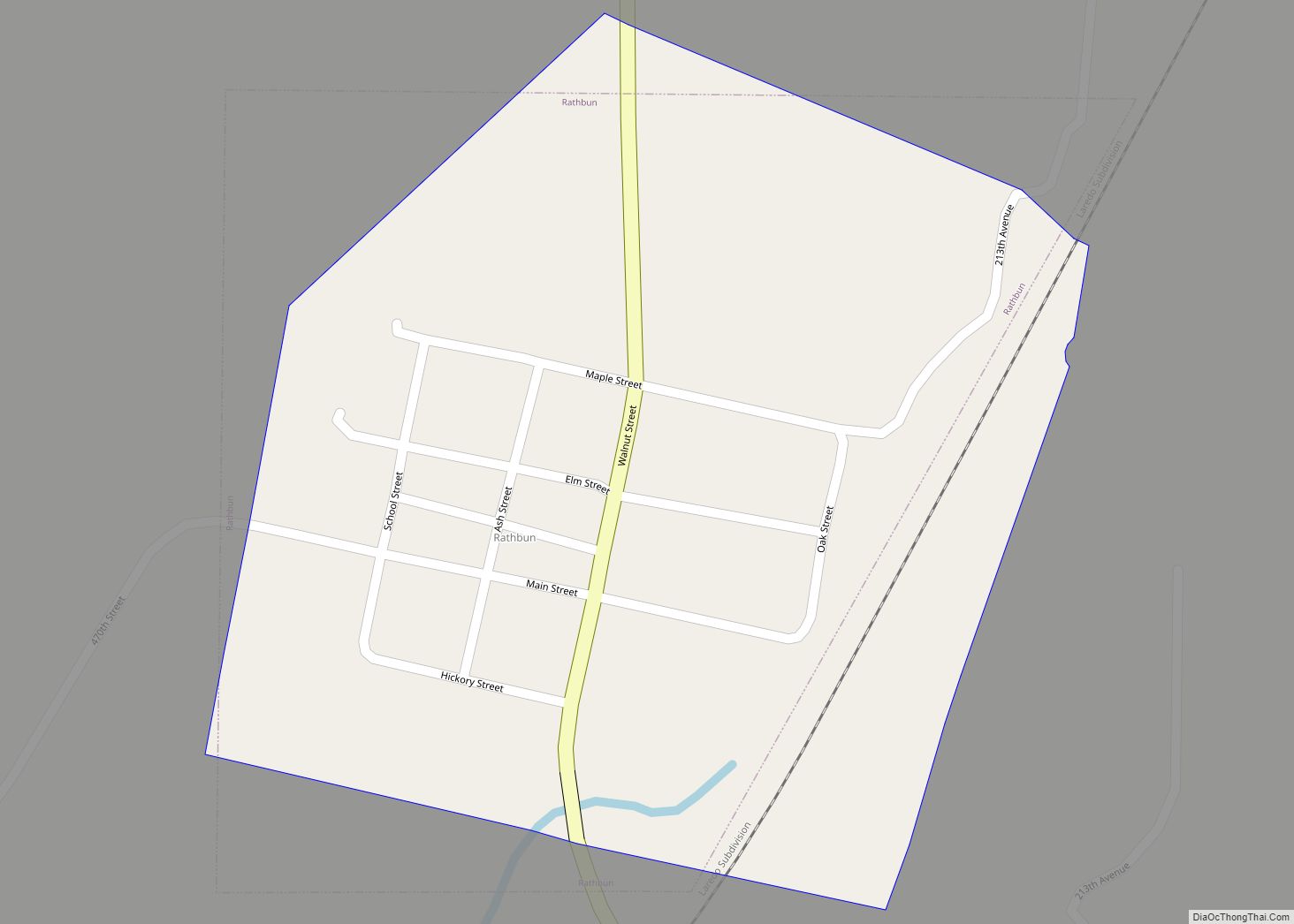
Online Interactive Map
Click on ![]() to view map in "full screen" mode.
to view map in "full screen" mode.
Exline location map. Where is Exline city?


History
Exline was surveyed by J.J. Hall in 1873 for David Exline, who settled there and established a successful dry-goods business, and it was incorporated in 1904. Initially, the town was known as Caldwell City or Bob Town. The opening of a post office in 1877 forced the town to settle on an official name.
Exline grew considerably with the coal boom. United Mine Workers local 812 was organized in Exline in 1899; by 1907, it had 200 members. In 1912, Local 812 had 180 members. In 1906, Exline was home to the Exline Coal Company, with two mine shafts west of town, the Iowa Block Coal Company also had an Exline mine, the White Oak Coal Company had a mine north of town, and the inactive Royal Mine was to the east.
Exline Road Map

Exline city Satellite Map

Geography
Exline’s longitude and latitude coordinates
in decimal form are 40.649922, −92.840059.
According to the United States Census Bureau, the city has a total area of 0.99 square miles (2.56 km), all land.
Geologists have named the Exline cyclothem after the town. This rock group extends from Iowa into Illinois and contains the Exline limestone, named after the exposure on a creek bank, 1.5 miles south of the southwest corner of Exline.
See also
Map of Iowa State and its subdivision:- Adair
- Adams
- Allamakee
- Appanoose
- Audubon
- Benton
- Black Hawk
- Boone
- Bremer
- Buchanan
- Buena Vista
- Butler
- Calhoun
- Carroll
- Cass
- Cedar
- Cerro Gordo
- Cherokee
- Chickasaw
- Clarke
- Clay
- Clayton
- Clinton
- Crawford
- Dallas
- Davis
- Decatur
- Delaware
- Des Moines
- Dickinson
- Dubuque
- Emmet
- Fayette
- Floyd
- Franklin
- Fremont
- Greene
- Grundy
- Guthrie
- Hamilton
- Hancock
- Hardin
- Harrison
- Henry
- Howard
- Humboldt
- Ida
- Iowa
- Jackson
- Jasper
- Jefferson
- Johnson
- Jones
- Keokuk
- Kossuth
- Lee
- Linn
- Louisa
- Lucas
- Lyon
- Madison
- Mahaska
- Marion
- Marshall
- Mills
- Mitchell
- Monona
- Monroe
- Montgomery
- Muscatine
- O'Brien
- Osceola
- Page
- Palo Alto
- Plymouth
- Pocahontas
- Polk
- Pottawattamie
- Poweshiek
- Ringgold
- Sac
- Scott
- Shelby
- Sioux
- Story
- Tama
- Taylor
- Union
- Van Buren
- Wapello
- Warren
- Washington
- Wayne
- Webster
- Winnebago
- Winneshiek
- Woodbury
- Worth
- Wright
- Alabama
- Alaska
- Arizona
- Arkansas
- California
- Colorado
- Connecticut
- Delaware
- District of Columbia
- Florida
- Georgia
- Hawaii
- Idaho
- Illinois
- Indiana
- Iowa
- Kansas
- Kentucky
- Louisiana
- Maine
- Maryland
- Massachusetts
- Michigan
- Minnesota
- Mississippi
- Missouri
- Montana
- Nebraska
- Nevada
- New Hampshire
- New Jersey
- New Mexico
- New York
- North Carolina
- North Dakota
- Ohio
- Oklahoma
- Oregon
- Pennsylvania
- Rhode Island
- South Carolina
- South Dakota
- Tennessee
- Texas
- Utah
- Vermont
- Virginia
- Washington
- West Virginia
- Wisconsin
- Wyoming