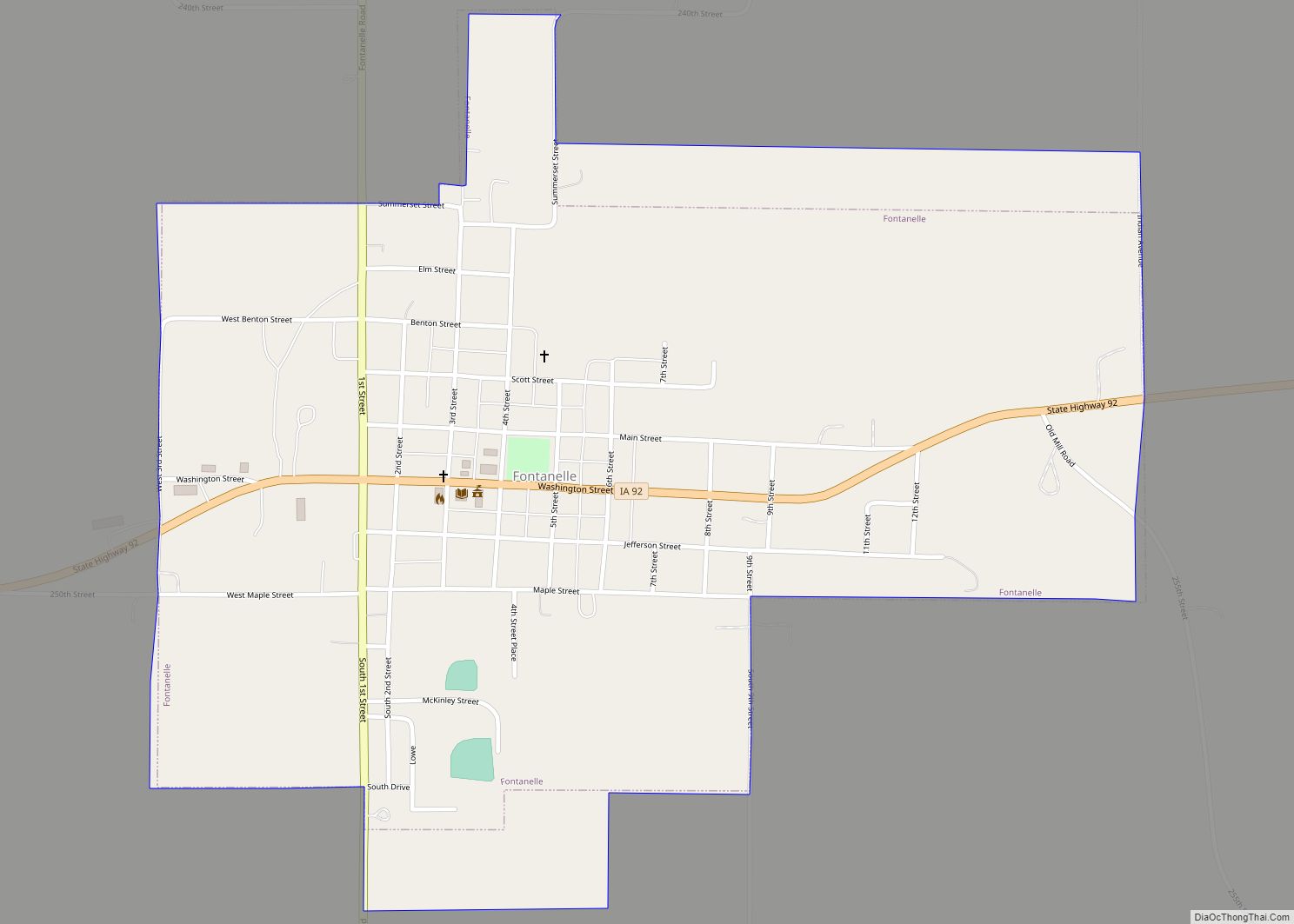
Fontanelle is a city in Summerset Township, Adair County, Iowa, United States. The population was 676 at the time of the 2020 census.
| Name: | Fontanelle city |
|---|---|
| LSAD Code: | 25 |
| LSAD Description: | city (suffix) |
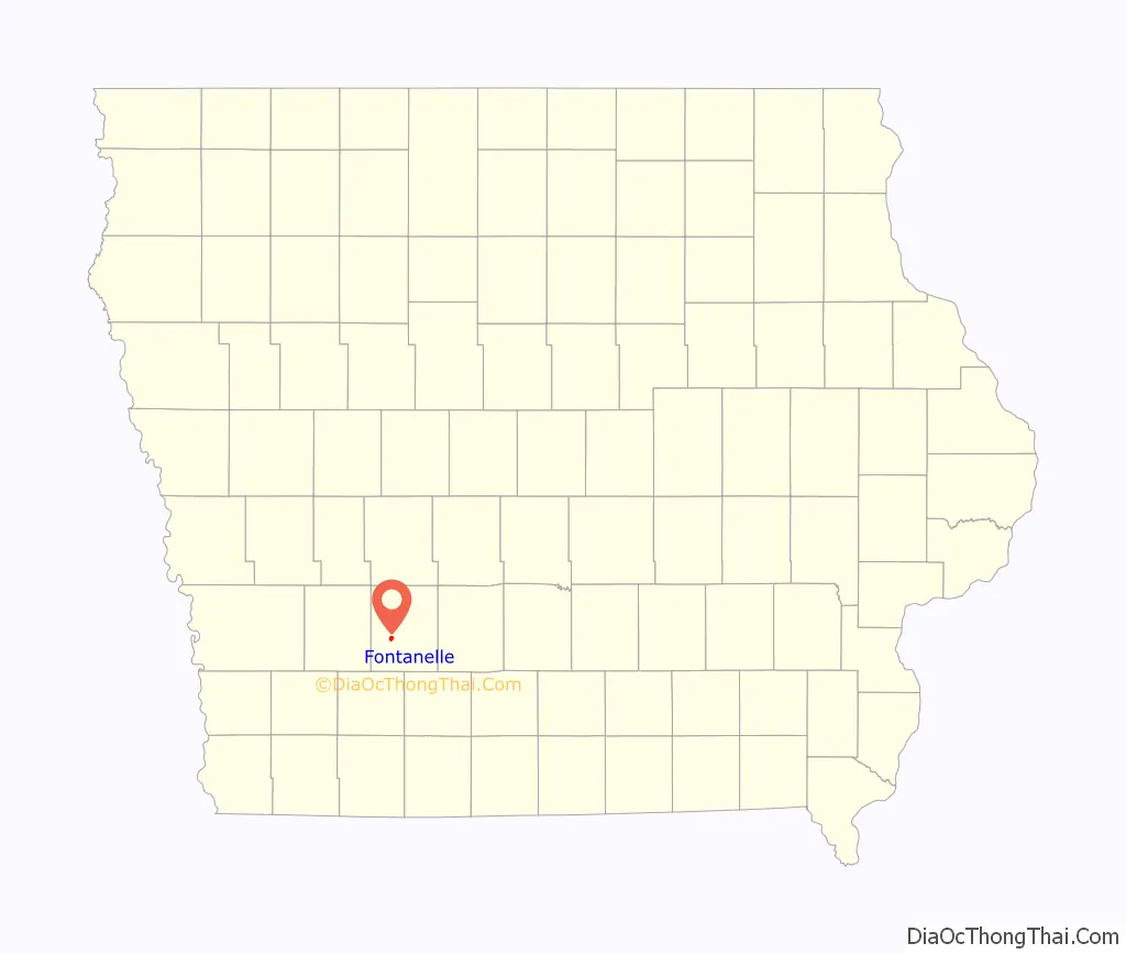
| State: | Iowa |
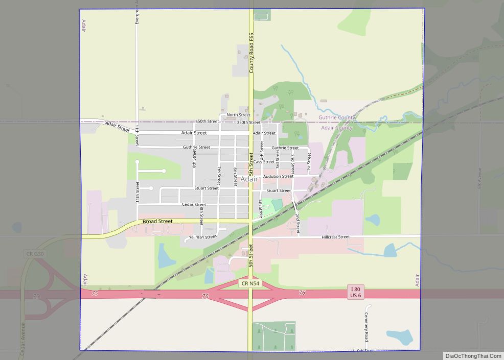
| County: | Adair County |
| Elevation: | 1,345 ft (410 m) |
| Total Area: | 0.86 sq mi (2.22 km²) |
| Land Area: | 0.86 sq mi (2.22 km²) |
| Water Area: | 0.00 sq mi (0.00 km²) |
| Total Population: | 676 |
| Population Density: | 788.80/sq mi (304.72/km²) |
| ZIP code: | 50846 |
| Area code: | 641 |
| FIPS code: | 1928290 |
| GNISfeature ID: | 0456661 |
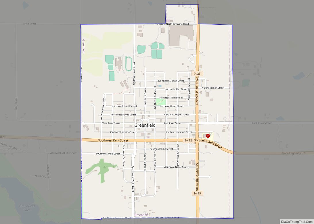
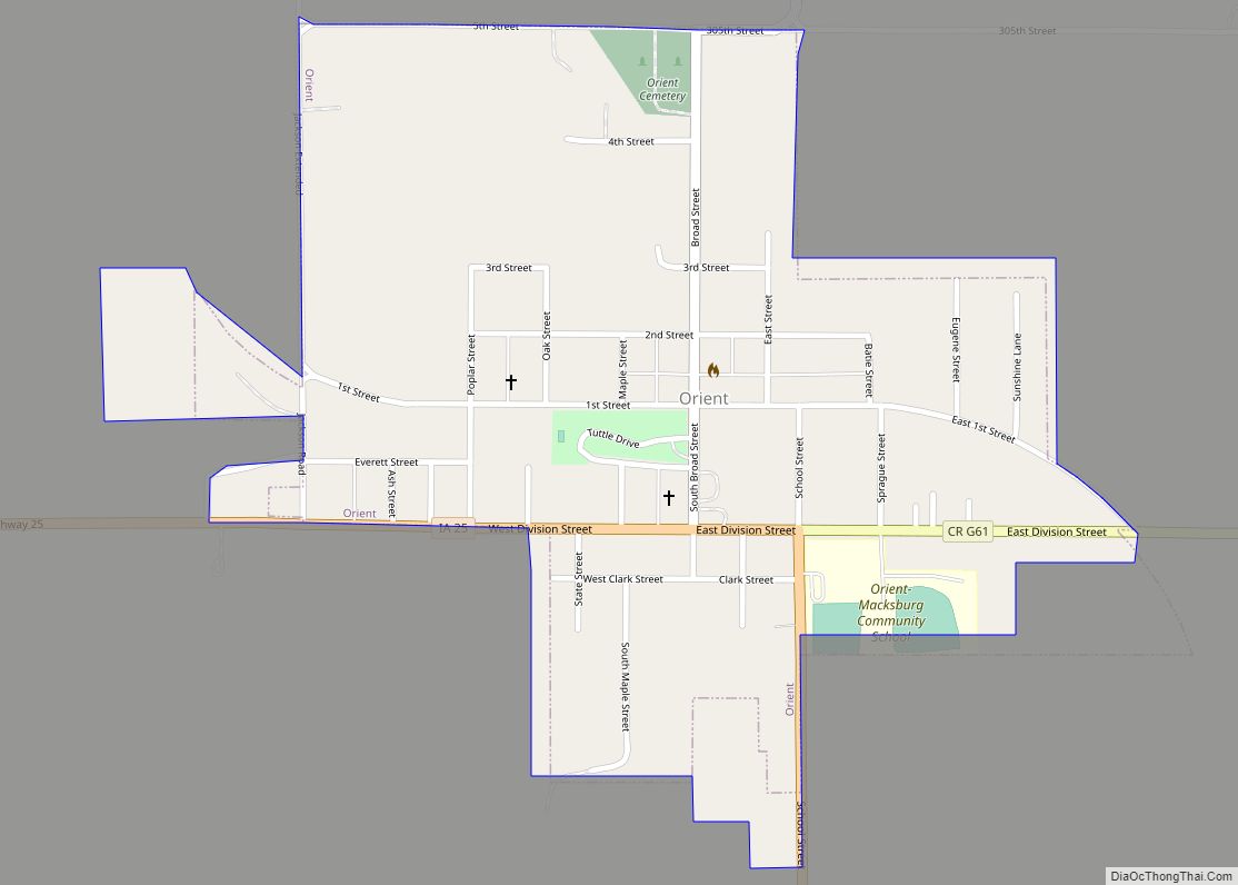
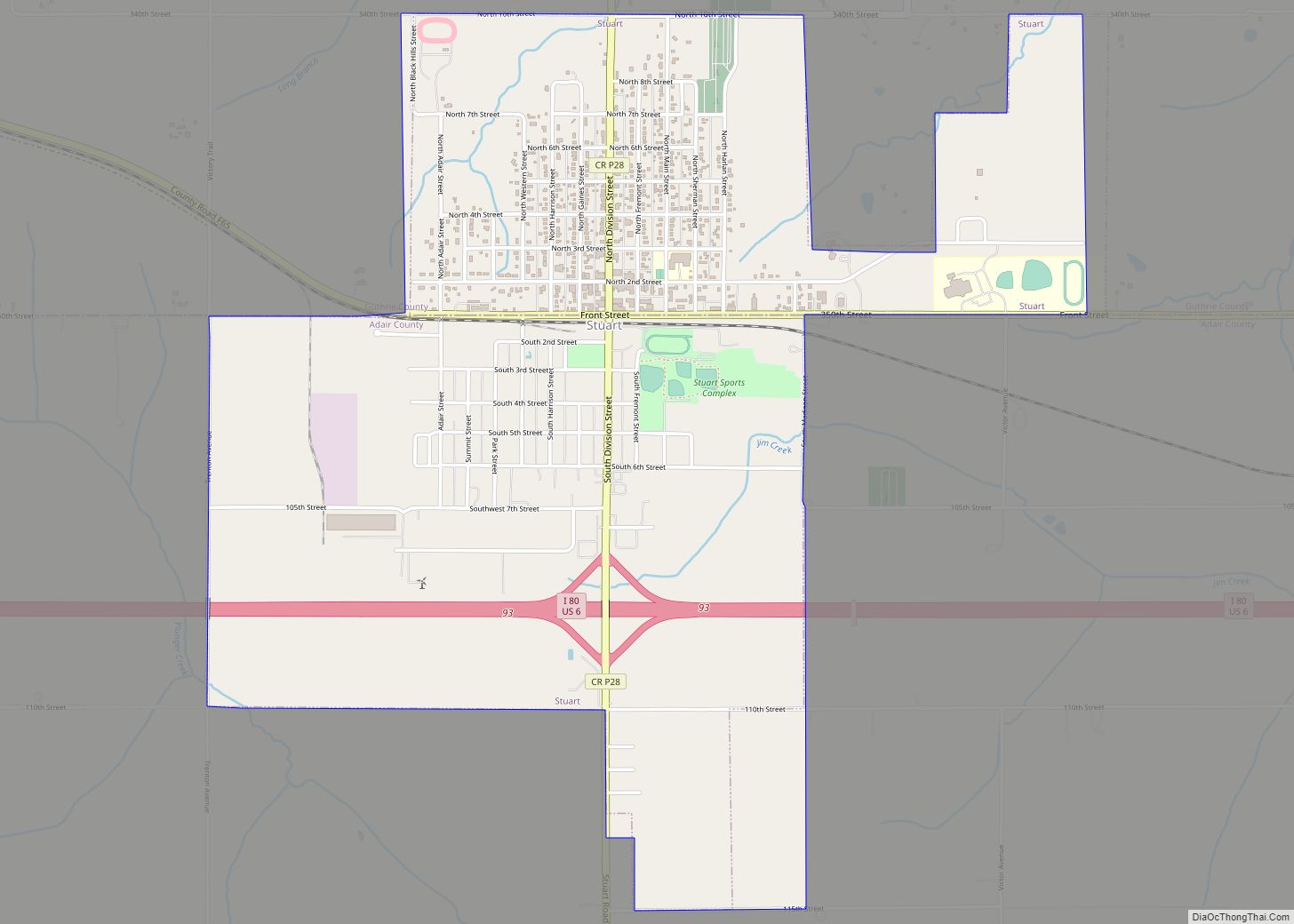
Online Interactive Map
Click on ![]() to view map in "full screen" mode.
to view map in "full screen" mode.
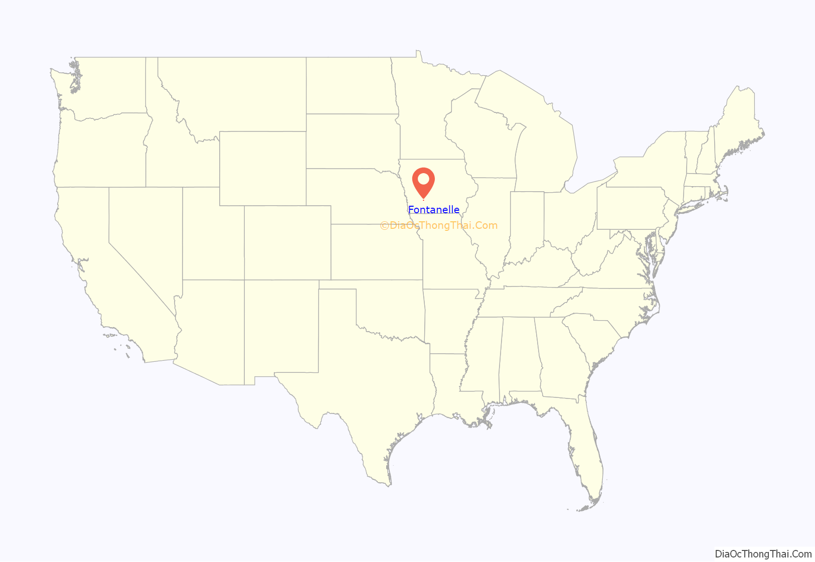
Fontanelle location map. Where is Fontanelle city?
History
Fontanelle was platted in 1855, by New York state native James C. Gibbs (1820–1907), who followed the arrival of a transient named Collins. In the summer of that year, Gibbs purchased lots on the northeast of the city square where he constructed a large log cabin. He brought his family there to live. Gibbs ran a hotel out of the log cabin briefly. He died in 1907, aged 86, and is buried with his wife, Phebe, in Fontanelle Cemetery.
D. M. Valentine purchased lots immediately to the west of Gibbs’, thus becoming the second settler.
The city is named for chief Logan Fontanelle of the Omaha tribe, son of the French fur trader Lucien Fontanelle of the American Fur Company and an Omaha tribeswoman.
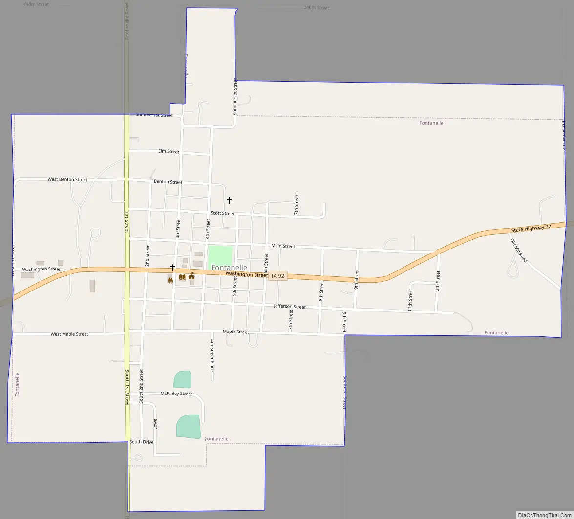
Fontanelle Road Map
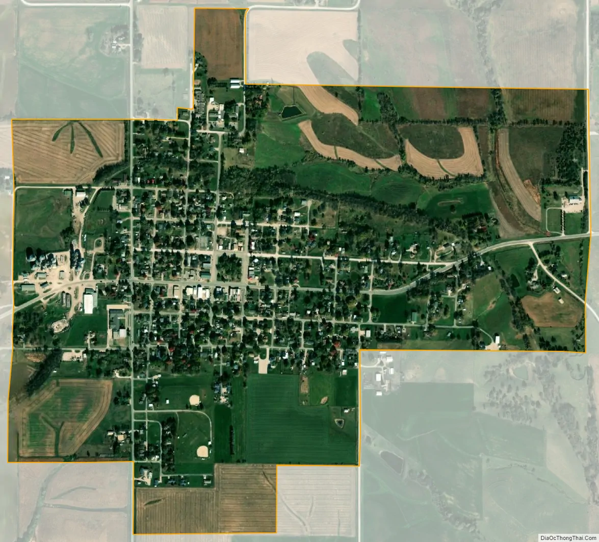
Fontanelle city Satellite Map
Geography
Fontanelle is located at 41°17′24″N 94°33′44″W / 41.29000°N 94.56222°W / 41.29000; -94.56222 (41.289995, -94.562230).
According to the United States Census Bureau, the city has a total area of 0.96 square miles (2.49 km), all land.
The local terrain is rolling with a few ravines near the streams. The east branch of the Nodaway River enters Fontanelle in its northwest quadrant.
See also
Map of Iowa State and its subdivision:- Adair
- Adams
- Allamakee
- Appanoose
- Audubon
- Benton
- Black Hawk
- Boone
- Bremer
- Buchanan
- Buena Vista
- Butler
- Calhoun
- Carroll
- Cass
- Cedar
- Cerro Gordo
- Cherokee
- Chickasaw
- Clarke
- Clay
- Clayton
- Clinton
- Crawford
- Dallas
- Davis
- Decatur
- Delaware
- Des Moines
- Dickinson
- Dubuque
- Emmet
- Fayette
- Floyd
- Franklin
- Fremont
- Greene
- Grundy
- Guthrie
- Hamilton
- Hancock
- Hardin
- Harrison
- Henry
- Howard
- Humboldt
- Ida
- Iowa
- Jackson
- Jasper
- Jefferson
- Johnson
- Jones
- Keokuk
- Kossuth
- Lee
- Linn
- Louisa
- Lucas
- Lyon
- Madison
- Mahaska
- Marion
- Marshall
- Mills
- Mitchell
- Monona
- Monroe
- Montgomery
- Muscatine
- O'Brien
- Osceola
- Page
- Palo Alto
- Plymouth
- Pocahontas
- Polk
- Pottawattamie
- Poweshiek
- Ringgold
- Sac
- Scott
- Shelby
- Sioux
- Story
- Tama
- Taylor
- Union
- Van Buren
- Wapello
- Warren
- Washington
- Wayne
- Webster
- Winnebago
- Winneshiek
- Woodbury
- Worth
- Wright
- Alabama
- Alaska
- Arizona
- Arkansas
- California
- Colorado
- Connecticut
- Delaware
- District of Columbia
- Florida
- Georgia
- Hawaii
- Idaho
- Illinois
- Indiana
- Iowa
- Kansas
- Kentucky
- Louisiana
- Maine
- Maryland
- Massachusetts
- Michigan
- Minnesota
- Mississippi
- Missouri
- Montana
- Nebraska
- Nevada
- New Hampshire
- New Jersey
- New Mexico
- New York
- North Carolina
- North Dakota
- Ohio
- Oklahoma
- Oregon
- Pennsylvania
- Rhode Island
- South Carolina
- South Dakota
- Tennessee
- Texas
- Utah
- Vermont
- Virginia
- Washington
- West Virginia
- Wisconsin
- Wyoming