Adair is a city in Adair and Guthrie counties of Iowa in the United States. The population was 791 at the 2020 census.
| Name: | Adair city |
|---|---|
| LSAD Code: | 25 |
| LSAD Description: | city (suffix) |
| State: | Iowa |
| County: | Adair County, Guthrie County |
| Incorporated: | August 20, 1872 |
| Elevation: | 1,460 ft (445 m) |
| Total Area: | 2.23 sq mi (5.78 km²) |
| Land Area: | 2.21 sq mi (5.74 km²) |
| Water Area: | 0.02 sq mi (0.04 km²) |
| Total Population: | 791 |
| Population Density: | 357.11/sq mi (137.89/km²) |
| ZIP code: | 50002 |
| Area code: | 641 |
| FIPS code: | 1900370 |
| GNISfeature ID: | 0454088 |
| Website: | www.cityofadair.com |
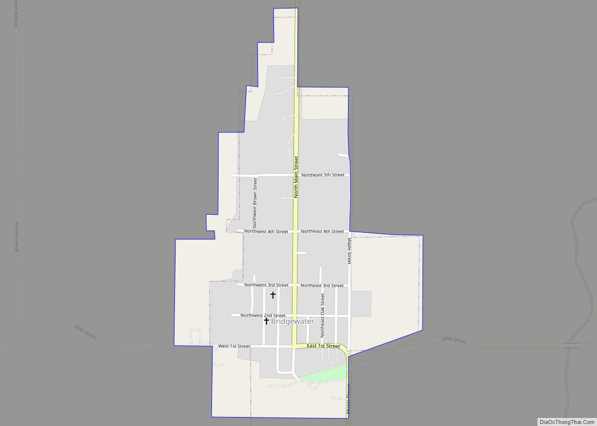
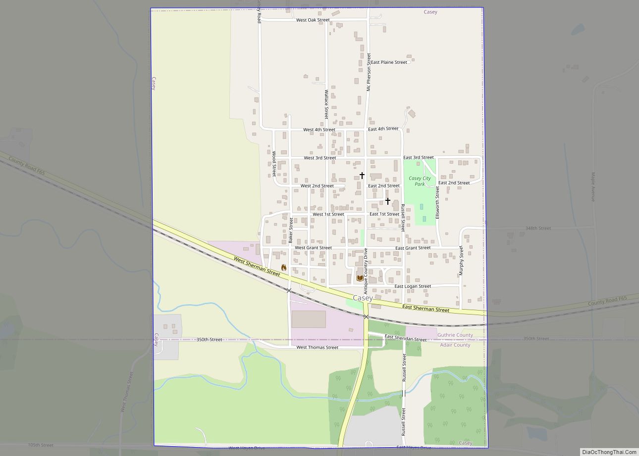
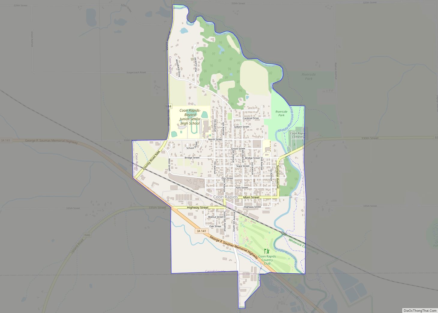
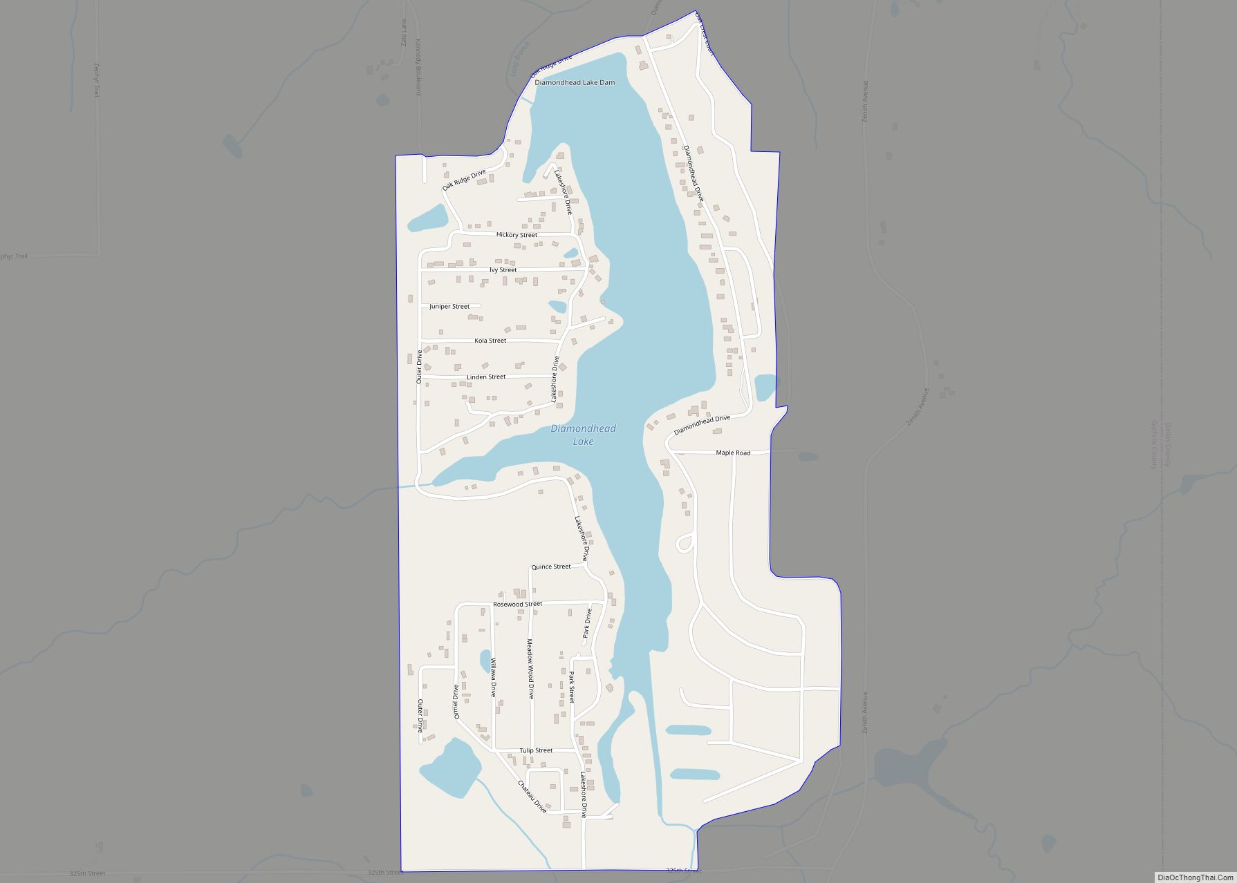
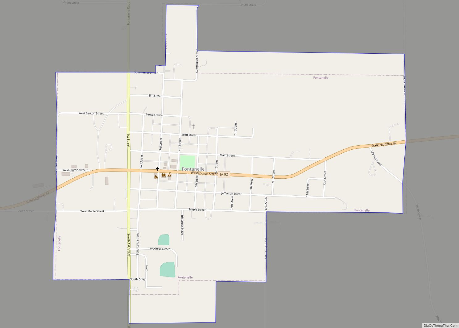
Online Interactive Map
Click on ![]() to view map in "full screen" mode.
to view map in "full screen" mode.
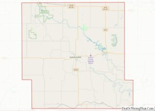
Adair location map. Where is Adair city?


History
The Rock Island Railroad was built through the area in 1868, which led to the area being known as Summit Cut. This was in reference to the ridge that forms the watershed divide between the Missouri and Mississippi rivers. The town officially became known as Adair on August 20, 1872, when it was incorporated with the county. The town is named after General John Adair, a general in the War of 1812 who later became the eighth governor of Kentucky. Adair was the scene of the first successful train robbery in the American West when on July 21, 1873, the James-Younger Gang (led by Jesse James) took US $3,000 from the Rock Island Express after derailing it southwest of the town. The derailment killed the engineer.
A rare F5 tornado occurred near this town on June 27, 1953, although the damage occurred closer to the town of Anita. One person was killed and two others were injured.
Adair is recognizable from Interstate 80 by its tall yellow “smiley-face” water tower. Humorously known as “the happiest town on Earth”, its roadsign warmly greets visitors with, “Welcome to Adair; it’ll make you smile”. Some of the local businesses incorporate the smiley-face tower image into their company logos.
Adair is mentioned in the 2013 Stephen King novel Doctor Sleep.
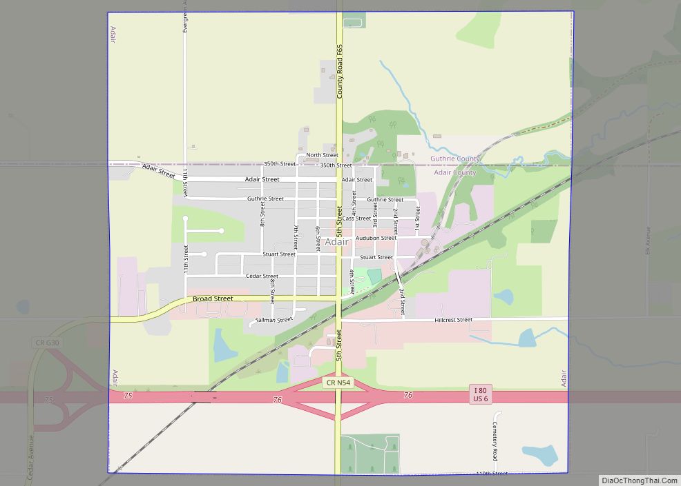
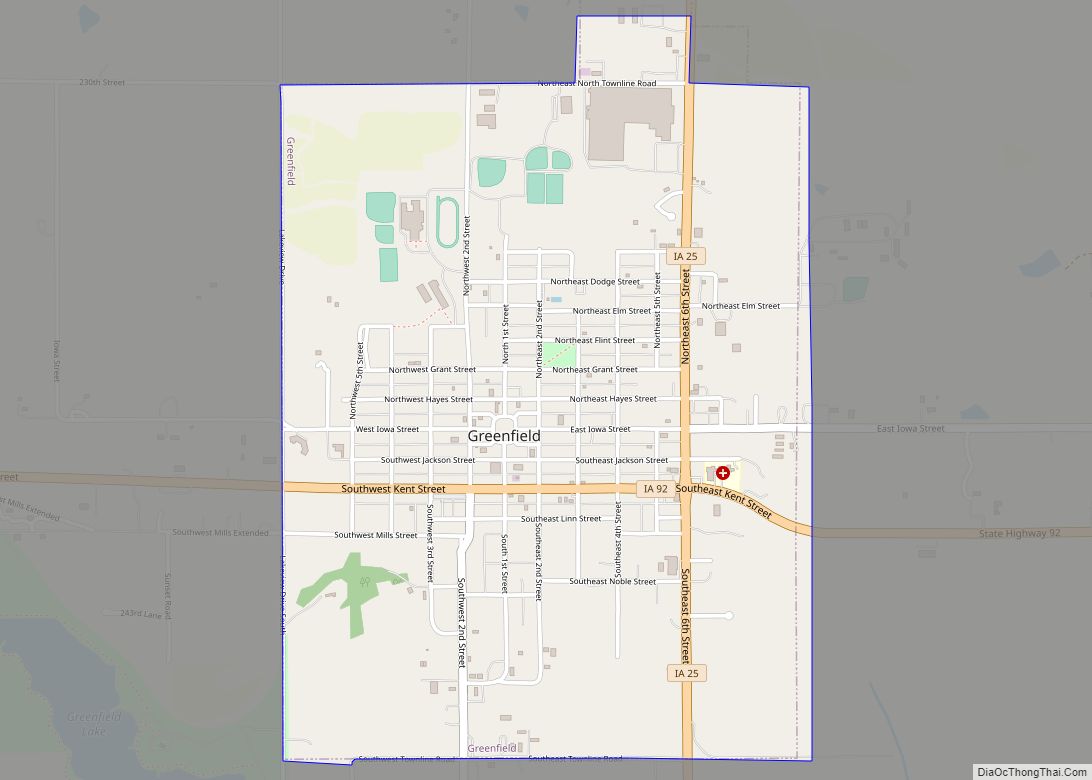
Adair Road Map

Adair city Satellite Map

Geography
Adair is located at 41°30′0″N 94°38′38″W / 41.50000°N 94.64389°W / 41.50000; -94.64389Coordinates: 41°30′0″N 94°38′38″W / 41.50000°N 94.64389°W / 41.50000; -94.64389 (41.500094, -94.643839).
According to the United States Census Bureau, the city has a total area of 2.22 square miles (5.75 km), of which 2.20 square miles (5.70 km) is land and 0.02 square miles (0.05 km) is water.
See also
Map of Iowa State and its subdivision:- Adair
- Adams
- Allamakee
- Appanoose
- Audubon
- Benton
- Black Hawk
- Boone
- Bremer
- Buchanan
- Buena Vista
- Butler
- Calhoun
- Carroll
- Cass
- Cedar
- Cerro Gordo
- Cherokee
- Chickasaw
- Clarke
- Clay
- Clayton
- Clinton
- Crawford
- Dallas
- Davis
- Decatur
- Delaware
- Des Moines
- Dickinson
- Dubuque
- Emmet
- Fayette
- Floyd
- Franklin
- Fremont
- Greene
- Grundy
- Guthrie
- Hamilton
- Hancock
- Hardin
- Harrison
- Henry
- Howard
- Humboldt
- Ida
- Iowa
- Jackson
- Jasper
- Jefferson
- Johnson
- Jones
- Keokuk
- Kossuth
- Lee
- Linn
- Louisa
- Lucas
- Lyon
- Madison
- Mahaska
- Marion
- Marshall
- Mills
- Mitchell
- Monona
- Monroe
- Montgomery
- Muscatine
- O'Brien
- Osceola
- Page
- Palo Alto
- Plymouth
- Pocahontas
- Polk
- Pottawattamie
- Poweshiek
- Ringgold
- Sac
- Scott
- Shelby
- Sioux
- Story
- Tama
- Taylor
- Union
- Van Buren
- Wapello
- Warren
- Washington
- Wayne
- Webster
- Winnebago
- Winneshiek
- Woodbury
- Worth
- Wright
- Alabama
- Alaska
- Arizona
- Arkansas
- California
- Colorado
- Connecticut
- Delaware
- District of Columbia
- Florida
- Georgia
- Hawaii
- Idaho
- Illinois
- Indiana
- Iowa
- Kansas
- Kentucky
- Louisiana
- Maine
- Maryland
- Massachusetts
- Michigan
- Minnesota
- Mississippi
- Missouri
- Montana
- Nebraska
- Nevada
- New Hampshire
- New Jersey
- New Mexico
- New York
- North Carolina
- North Dakota
- Ohio
- Oklahoma
- Oregon
- Pennsylvania
- Rhode Island
- South Carolina
- South Dakota
- Tennessee
- Texas
- Utah
- Vermont
- Virginia
- Washington
- West Virginia
- Wisconsin
- Wyoming