Fremont is a city in Mahaska County, Iowa, United States. The population was 708 at the time of the 2020 census.
| Name: | Fremont city |
|---|---|
| LSAD Code: | 25 |
| LSAD Description: | city (suffix) |
| State: | Iowa |
| County: | Mahaska County |
| Elevation: | 837 ft (255 m) |
| Total Area: | 1.06 sq mi (2.75 km²) |
| Land Area: | 1.06 sq mi (2.75 km²) |
| Water Area: | 0.00 sq mi (0.00 km²) |
| Total Population: | 708 |
| Population Density: | 666.04/sq mi (257.26/km²) |
| ZIP code: | 52561 |
| Area code: | 641 |
| FIPS code: | 1929190 |
| GNISfeature ID: | 0456761 |
Online Interactive Map
Click on ![]() to view map in "full screen" mode.
to view map in "full screen" mode.
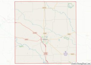
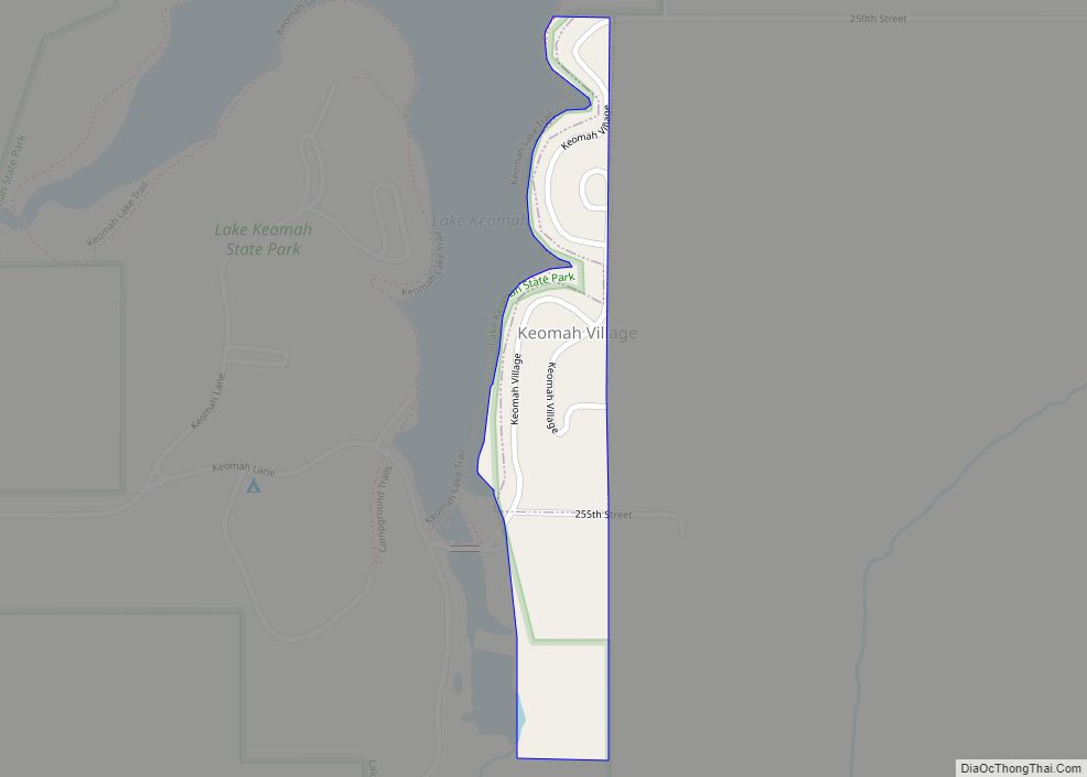
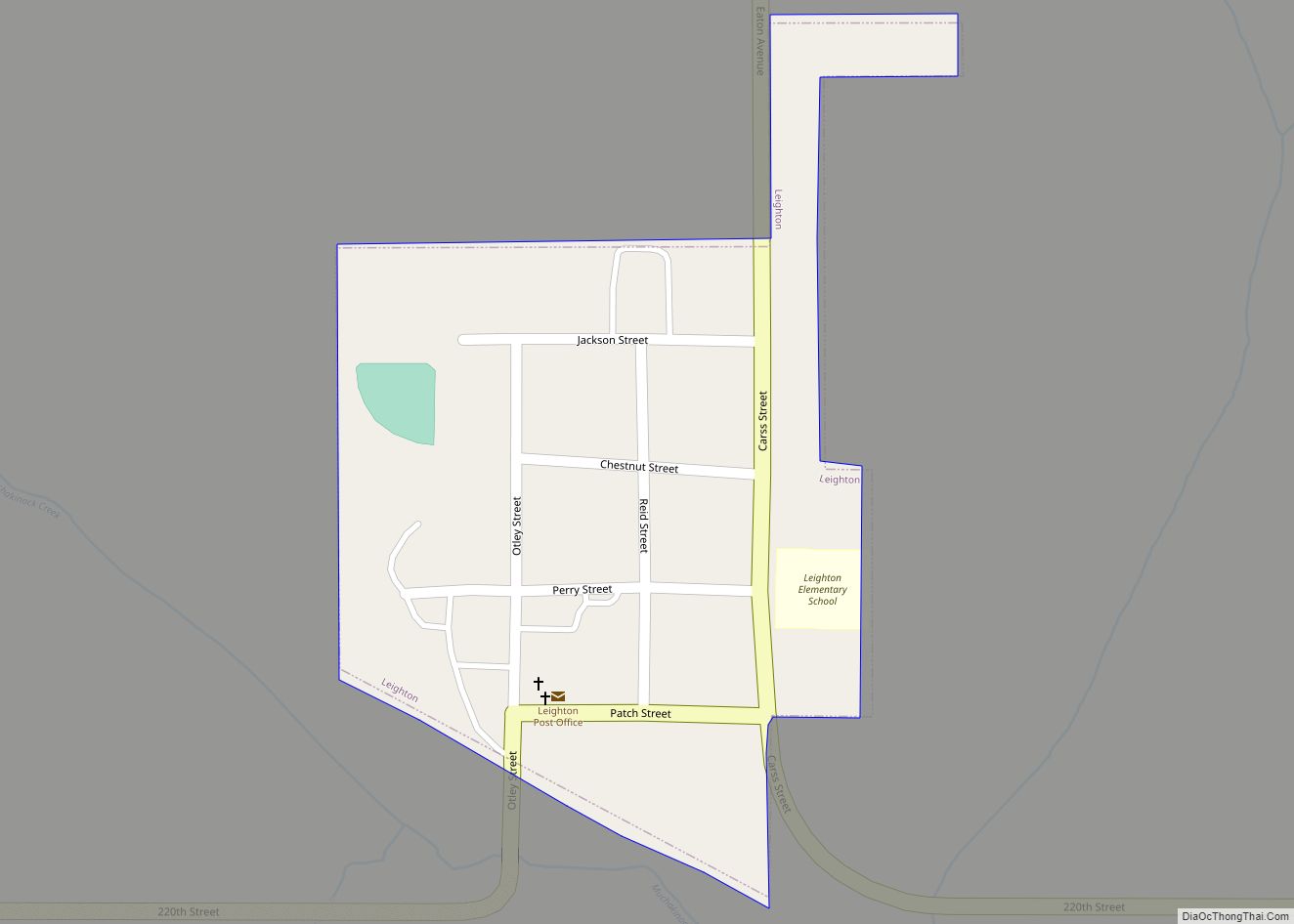
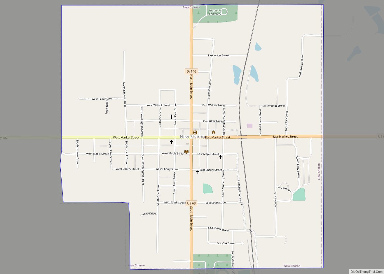
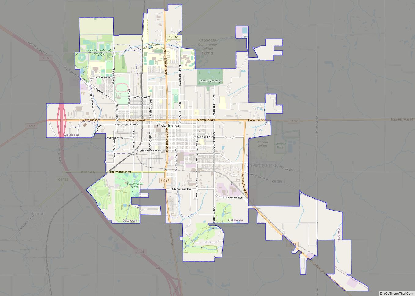
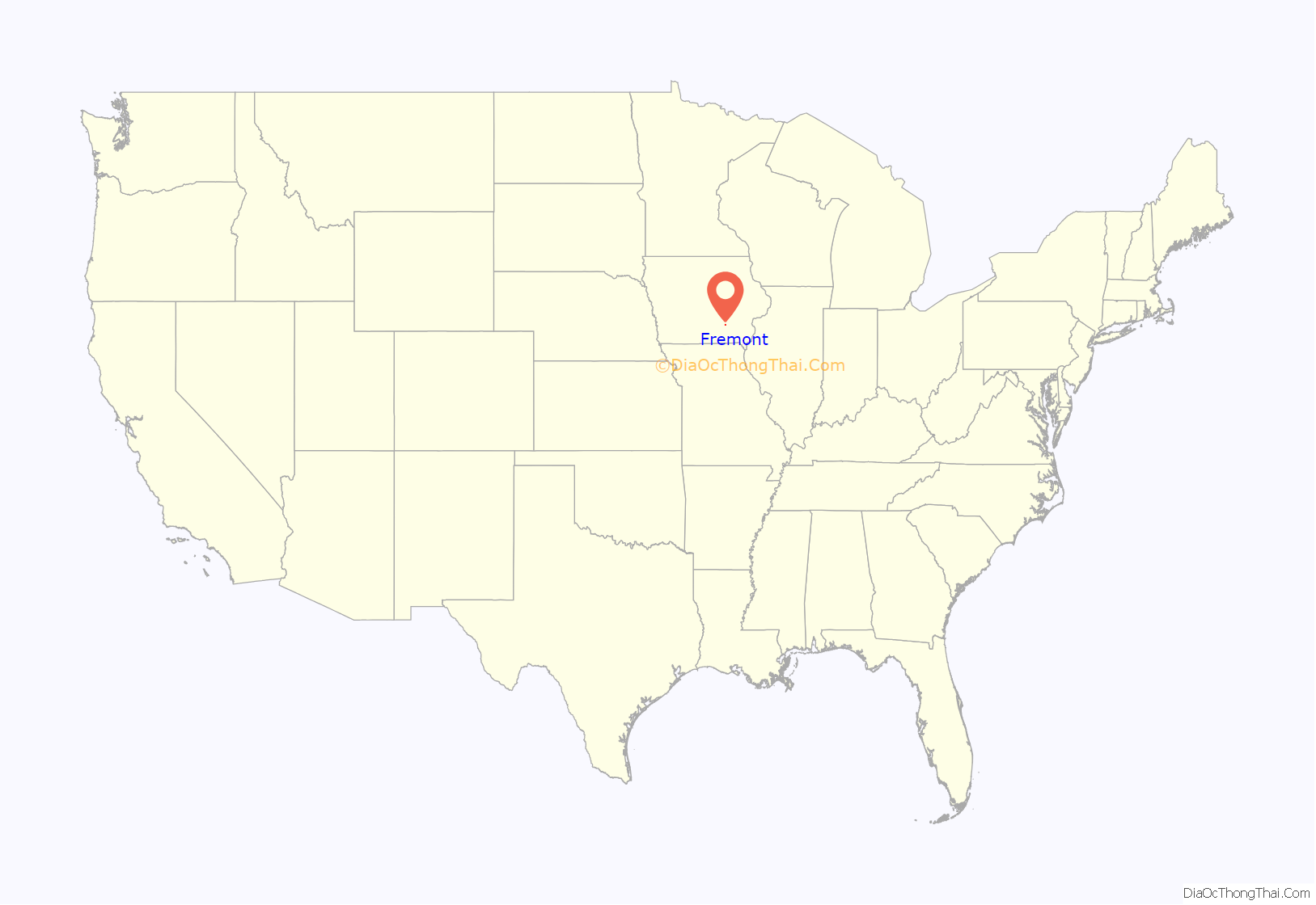
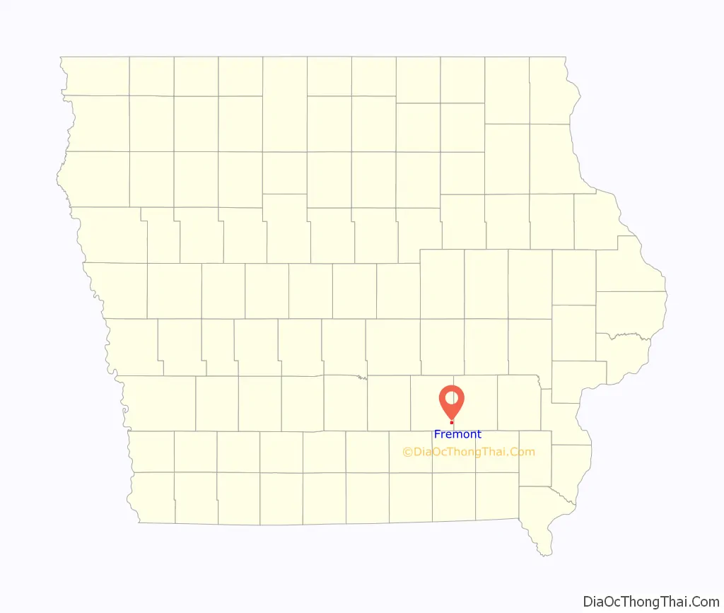
Fremont location map. Where is Fremont city?
History
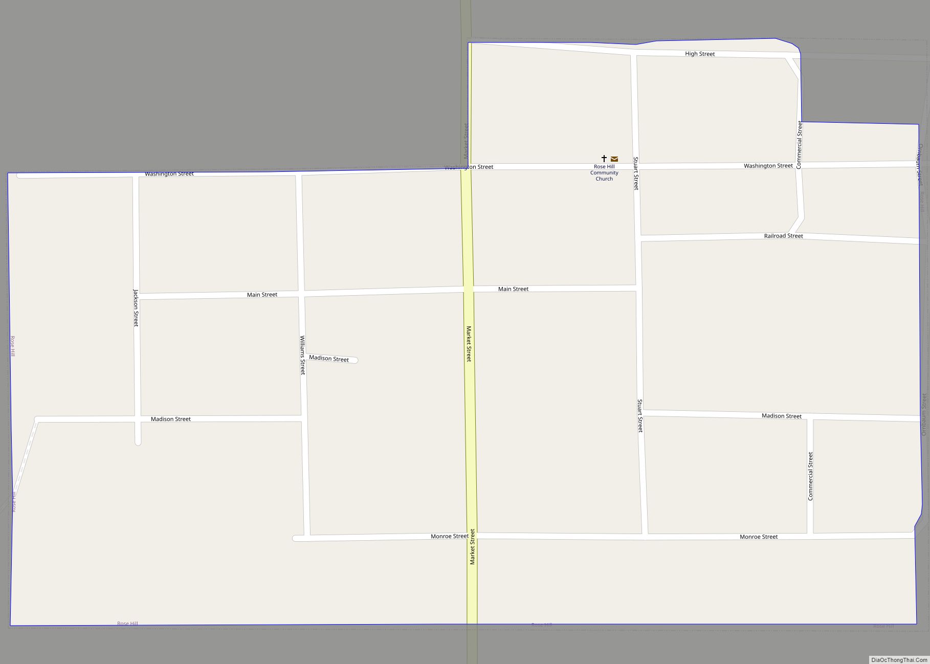
In 1871, Fremont stretched for 8 blocks, 1/2 mile (under 1 km) along Main Street, with at least one house on every block on the north side of the street and a few houses on Washington Street, one block north. There was a Baptist church, a hotel, three stores, a barber shop and a school. The town also had a physician, a blacksmith and a shoemaker.
The Burlington and Western, a narrow gauge railroad and its competitor, the Iowa Central Railway built parallel tracks toward Oskaloosa. The Burlington and Western arrived in the fall of 1883 and was widened to Standard Gauge in 1902 and taken over by the Chicago, Burlington and Quincy the next year. the Minneapolis and St. Louis took over the Iowa Central around the same time. The Burlington line was abandoned in 1934.
In 1905, Fremont had a grain elevator, live-stock pens, and a lumber yard on clustered around the Burlington depot on the south side of town, and a creamery, another stockyard, and grain elevator spread out on both sides of the Iowa Central depot along the north-east side. The school and hotel were on Main Street, and the post office was half a block north of Main.
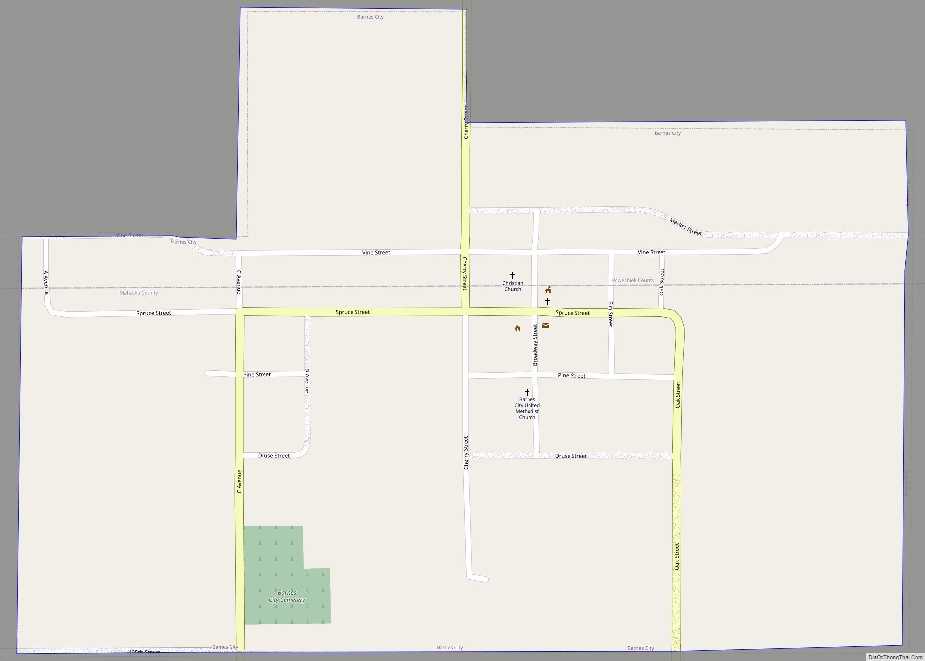
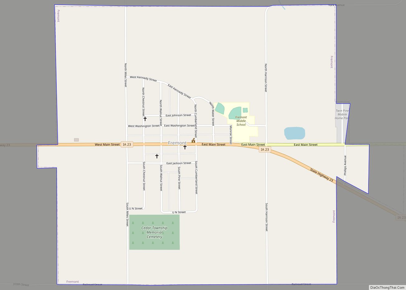
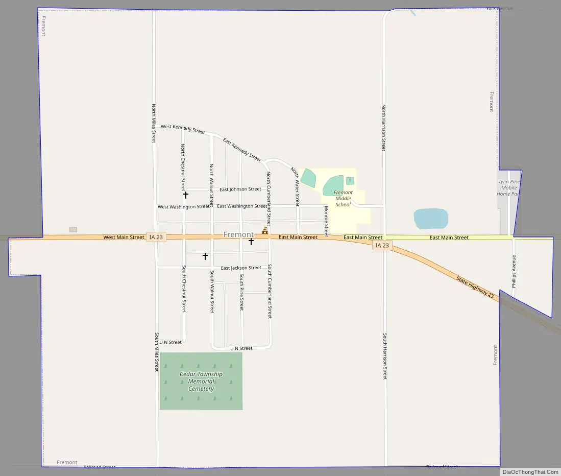
Fremont Road Map
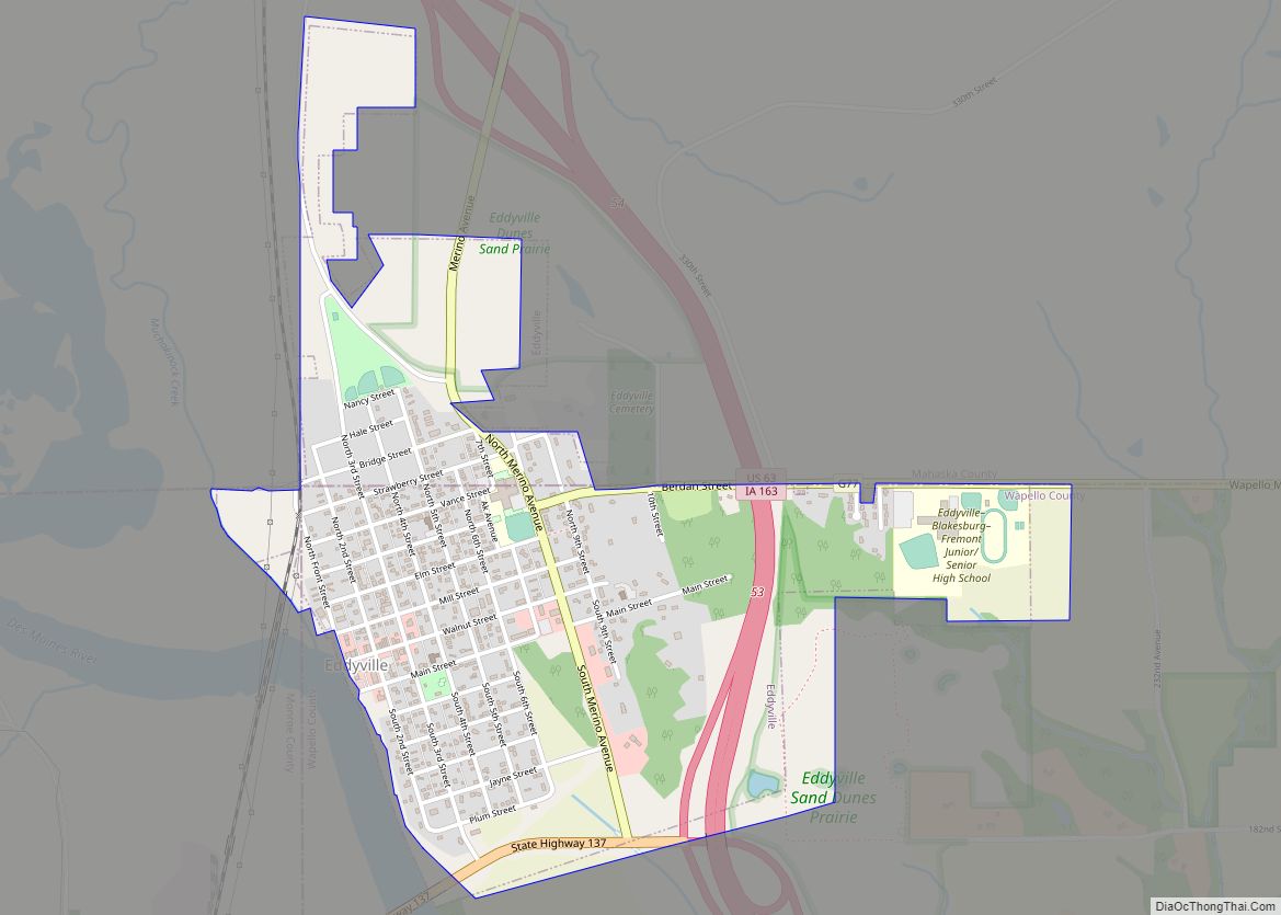
Fremont city Satellite Map
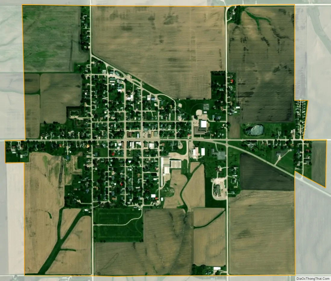
Geography
Fremont is located at 41°12′44″N 92°26′6″W / 41.21222°N 92.43500°W / 41.21222; -92.43500 (41.212321, -92.435106).
According to the United States Census Bureau, the city has a total area of 1.03 square miles (2.67 km), all of it land.
See also
Map of Iowa State and its subdivision:- Adair
- Adams
- Allamakee
- Appanoose
- Audubon
- Benton
- Black Hawk
- Boone
- Bremer
- Buchanan
- Buena Vista
- Butler
- Calhoun
- Carroll
- Cass
- Cedar
- Cerro Gordo
- Cherokee
- Chickasaw
- Clarke
- Clay
- Clayton
- Clinton
- Crawford
- Dallas
- Davis
- Decatur
- Delaware
- Des Moines
- Dickinson
- Dubuque
- Emmet
- Fayette
- Floyd
- Franklin
- Fremont
- Greene
- Grundy
- Guthrie
- Hamilton
- Hancock
- Hardin
- Harrison
- Henry
- Howard
- Humboldt
- Ida
- Iowa
- Jackson
- Jasper
- Jefferson
- Johnson
- Jones
- Keokuk
- Kossuth
- Lee
- Linn
- Louisa
- Lucas
- Lyon
- Madison
- Mahaska
- Marion
- Marshall
- Mills
- Mitchell
- Monona
- Monroe
- Montgomery
- Muscatine
- O'Brien
- Osceola
- Page
- Palo Alto
- Plymouth
- Pocahontas
- Polk
- Pottawattamie
- Poweshiek
- Ringgold
- Sac
- Scott
- Shelby
- Sioux
- Story
- Tama
- Taylor
- Union
- Van Buren
- Wapello
- Warren
- Washington
- Wayne
- Webster
- Winnebago
- Winneshiek
- Woodbury
- Worth
- Wright
- Alabama
- Alaska
- Arizona
- Arkansas
- California
- Colorado
- Connecticut
- Delaware
- District of Columbia
- Florida
- Georgia
- Hawaii
- Idaho
- Illinois
- Indiana
- Iowa
- Kansas
- Kentucky
- Louisiana
- Maine
- Maryland
- Massachusetts
- Michigan
- Minnesota
- Mississippi
- Missouri
- Montana
- Nebraska
- Nevada
- New Hampshire
- New Jersey
- New Mexico
- New York
- North Carolina
- North Dakota
- Ohio
- Oklahoma
- Oregon
- Pennsylvania
- Rhode Island
- South Carolina
- South Dakota
- Tennessee
- Texas
- Utah
- Vermont
- Virginia
- Washington
- West Virginia
- Wisconsin
- Wyoming