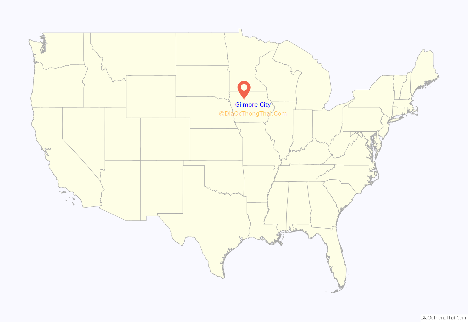
Gilmore City is a city in Humboldt and Pocahontas counties in the U.S. state of Iowa. The population was 487 at the time of the 2020 census.
| Name: | Gilmore City city |
|---|---|
| LSAD Code: | 25 |
| LSAD Description: | city (suffix) |
| State: | Iowa |
| County: | Humboldt County, Pocahontas County |
| Elevation: | 1,224 ft (373 m) |
| Total Area: | 1.24 sq mi (3.21 km²) |
| Land Area: | 1.24 sq mi (3.21 km²) |
| Water Area: | 0.00 sq mi (0.00 km²) |
| Total Population: | 487 |
| Population Density: | 393.06/sq mi (151.76/km²) |
| ZIP code: | 50541 |
| Area code: | 515 |
| FIPS code: | 1930945 |
| GNISfeature ID: | 0456906 |
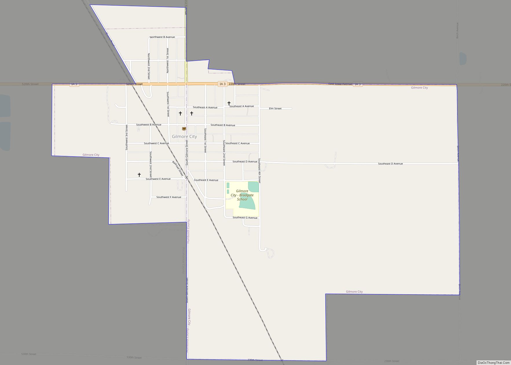
Online Interactive Map
Click on ![]() to view map in "full screen" mode.
to view map in "full screen" mode.
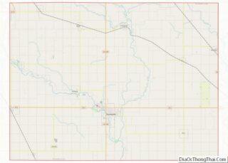
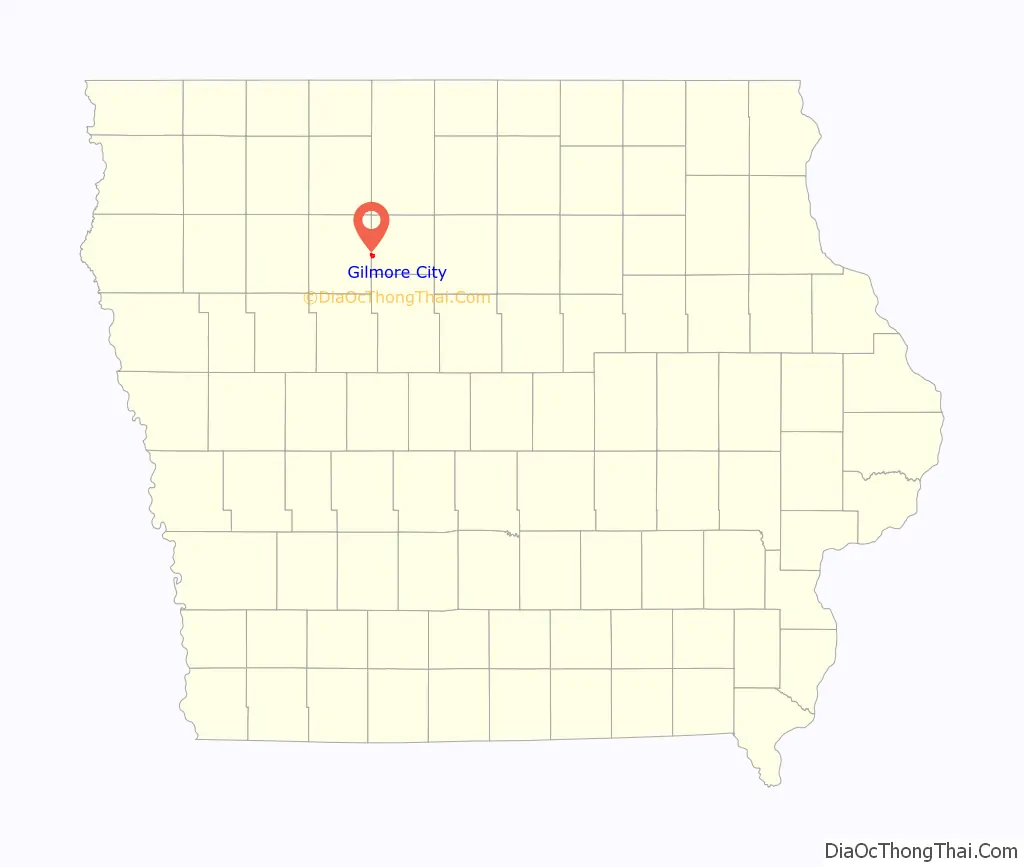
Gilmore City location map. Where is Gilmore City city?
History
Gilmore City was platted in 1884, not long after the railroad had been built through that territory in 1882.
Gilmore City was originally known as Blooming Prairie; the name was changed to Gilmore City in the early 1880s. The city was named for Charles N. Gilmore. Gilmore was the superintendent of the Fort Dodge & Des Moines rail line and later became division superintendent after the road was leased by the Rock Island Railway Company. Gilmore died in Des Moines on April 5, 1912. The community was incorporated on April 16, 1887.
Two quarries known as the Midwest Limestone Quarry and the Hallett Quarry were opened north of Gilmore City. Quicklime and dimension stone production began at least as early as 1882, and was succeeded by cement and aggregate production. Fossil crinoids were discovered in the quarries 1929. The Midwest Limestone Quarry is currently known as the Moore Quarry, owned by Martin Marietta Inc.
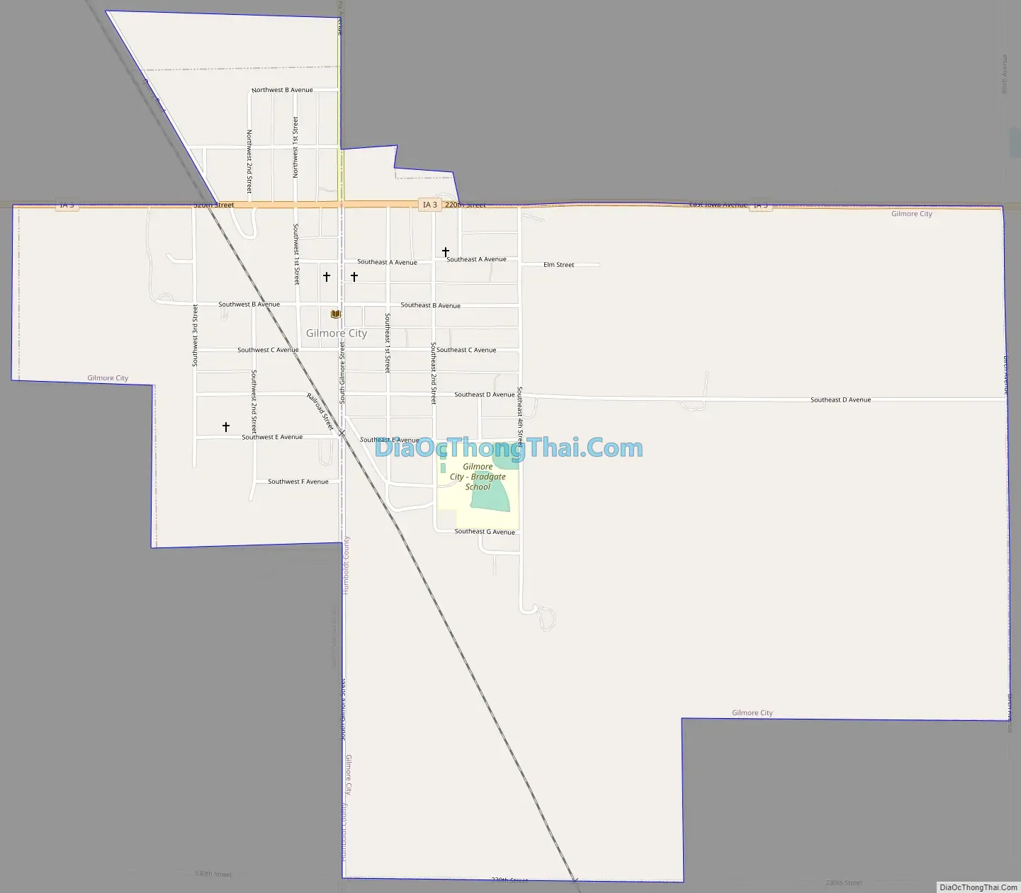
Gilmore City Road Map
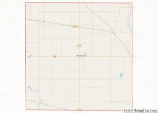
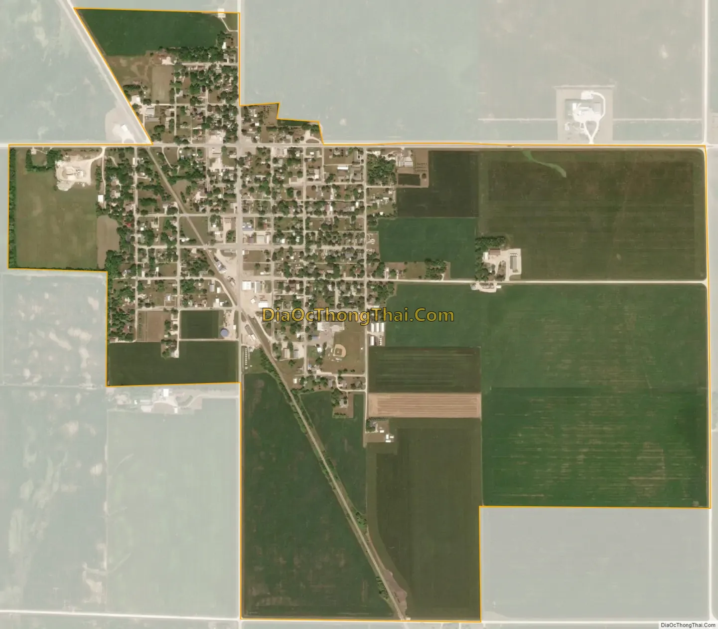
Gilmore City city Satellite Map
Geography
Gilmore City is located at 42°43′50″N 94°26′33″W / 42.73056°N 94.44250°W / 42.73056; -94.44250 (42.730521, -94.442434).
According to the United States Census Bureau, the city has a total area of 1.25 square miles (3.24 km), all land. It contains one neighborhood, Stein’s Rockin R Mobile Home Park, Iowa, on the Pocahontas side of town.
Gilmore City lies along the northeastern margin (rim) of Manson crater, an impact structure buried by glacial till and outwash.
See also
Map of Iowa State and its subdivision:- Adair
- Adams
- Allamakee
- Appanoose
- Audubon
- Benton
- Black Hawk
- Boone
- Bremer
- Buchanan
- Buena Vista
- Butler
- Calhoun
- Carroll
- Cass
- Cedar
- Cerro Gordo
- Cherokee
- Chickasaw
- Clarke
- Clay
- Clayton
- Clinton
- Crawford
- Dallas
- Davis
- Decatur
- Delaware
- Des Moines
- Dickinson
- Dubuque
- Emmet
- Fayette
- Floyd
- Franklin
- Fremont
- Greene
- Grundy
- Guthrie
- Hamilton
- Hancock
- Hardin
- Harrison
- Henry
- Howard
- Humboldt
- Ida
- Iowa
- Jackson
- Jasper
- Jefferson
- Johnson
- Jones
- Keokuk
- Kossuth
- Lee
- Linn
- Louisa
- Lucas
- Lyon
- Madison
- Mahaska
- Marion
- Marshall
- Mills
- Mitchell
- Monona
- Monroe
- Montgomery
- Muscatine
- O'Brien
- Osceola
- Page
- Palo Alto
- Plymouth
- Pocahontas
- Polk
- Pottawattamie
- Poweshiek
- Ringgold
- Sac
- Scott
- Shelby
- Sioux
- Story
- Tama
- Taylor
- Union
- Van Buren
- Wapello
- Warren
- Washington
- Wayne
- Webster
- Winnebago
- Winneshiek
- Woodbury
- Worth
- Wright
- Alabama
- Alaska
- Arizona
- Arkansas
- California
- Colorado
- Connecticut
- Delaware
- District of Columbia
- Florida
- Georgia
- Hawaii
- Idaho
- Illinois
- Indiana
- Iowa
- Kansas
- Kentucky
- Louisiana
- Maine
- Maryland
- Massachusetts
- Michigan
- Minnesota
- Mississippi
- Missouri
- Montana
- Nebraska
- Nevada
- New Hampshire
- New Jersey
- New Mexico
- New York
- North Carolina
- North Dakota
- Ohio
- Oklahoma
- Oregon
- Pennsylvania
- Rhode Island
- South Carolina
- South Dakota
- Tennessee
- Texas
- Utah
- Vermont
- Virginia
- Washington
- West Virginia
- Wisconsin
- Wyoming