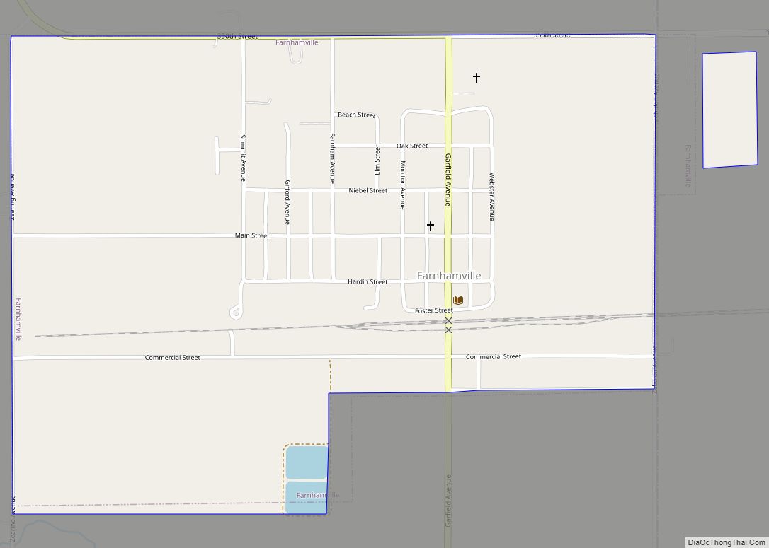
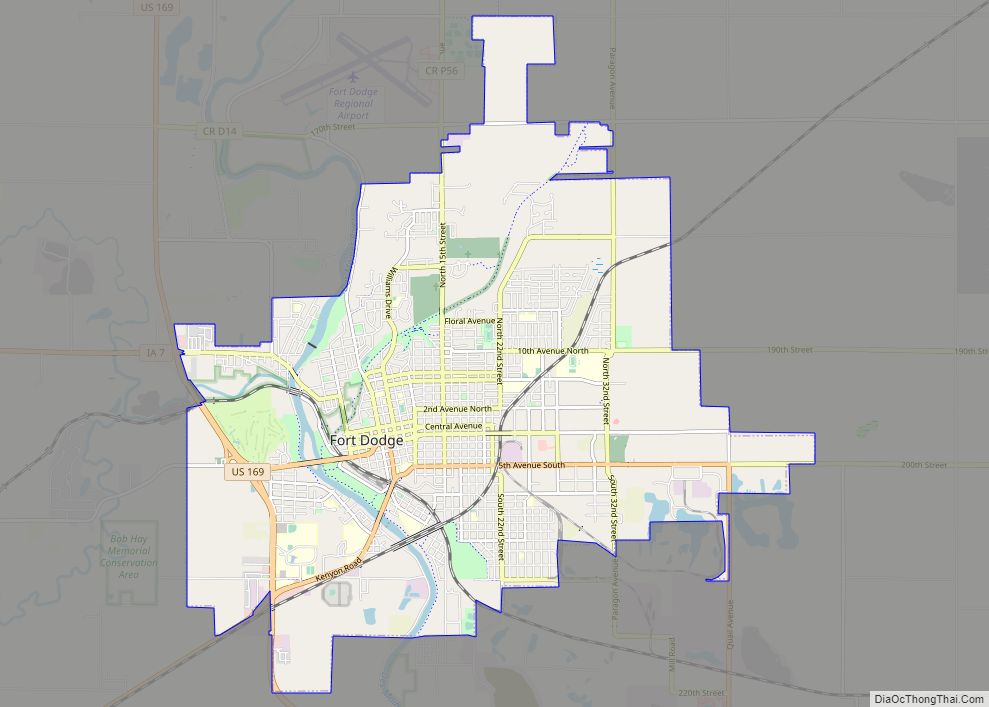
Gowrie is a city in Webster County, Iowa. The population was 952 at the time of the 2020 census. The town has a swimming pool, golf course, athletic stadium, and curb-and-gutter throughout the community.
| Name: | Gowrie city |
|---|---|
| LSAD Code: | 25 |
| LSAD Description: | city (suffix) |
| State: | Iowa |
| County: | Webster County |
| Elevation: | 1,142 ft (348 m) |
| Total Area: | 1.44 sq mi (3.73 km²) |
| Land Area: | 1.44 sq mi (3.73 km²) |
| Water Area: | 0.00 sq mi (0.00 km²) |
| Total Population: | 952 |
| Population Density: | 661.57/sq mi (255.45/km²) |
| ZIP code: | 50543 |
| Area code: | 515 |
| FIPS code: | 1931710 |
| GNISfeature ID: | 0456991 |
Online Interactive Map
Click on ![]() to view map in "full screen" mode.
to view map in "full screen" mode.
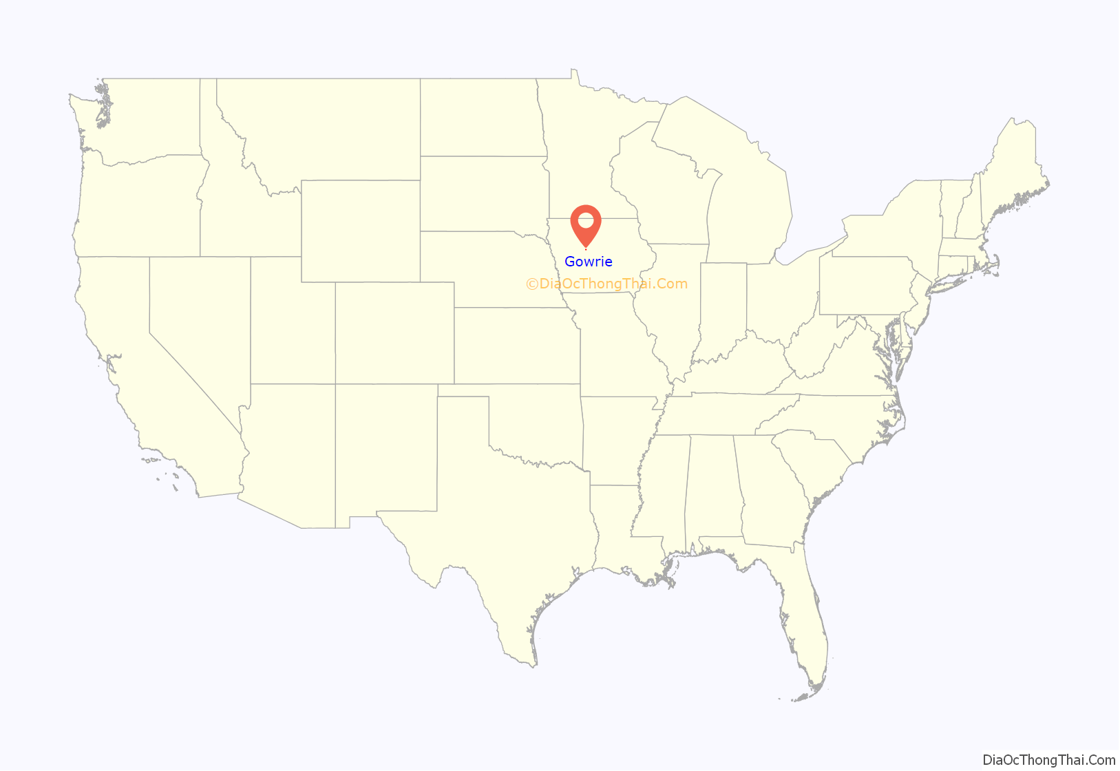
Gowrie location map. Where is Gowrie city?
History
A post office called Gowrie has been in operation since 1871. The city was named after Gowrie, in Scotland.
Gowrie began as a stop on the railroad. It grew in its early years as the Swedish settlers built a local economy which served area farmers. Today, the town has a swimming pool, golf course, athletic stadium, and curb-and-gutter throughout the town. Historically, its peak was 1970, and at that time the downtown area had the following businesses: (* designate companies still in business) Gowrie Municipal Swimming Pool*, Gowrie Gowrie Youth Center/Skating Rink*, Johnson RediMix, Johnson Sinclair Service, Bruntlett Elevator*, Johnson Lumber Company, Gowrie Dry Clean, Carr’s Grocery, Gambles Hardware, Webster-Calhoun Co-op Telephone Co.*, Sunray DX, Palmer and Son’s Funeral Home*, Dairy Sweet, Buskee Industries, Gowrie Car Wash, Ranniger’s Appliance, Ranniger’s Water Care, Imels Clothing, Wendells Appliances, Redman Barber Shop, Erb Law Offices, Dr. Rungee, DDS, Dr. Borgen, MD, Paladium Lanes Bowling Alley, First National Bank, Gowrie Cafe, Palmer Hardware, Hasty’s Cafe, Smith’s Meat Market, Gowrie Star Theater, Earl Braend Ford, The Canteen, Larson’s Phillip 66, Standard Gas Station, VFW, Gowrie Library, Lee Benson Motors*, Pontiac, Jansa TV Repair, Laundromat, Skip’s Tap, Lane Barber Shop, The White House Sundry, and The Gowrie News*. Other businesses in town included: Dixon Hatcheries, Hubbard Veterinary Clinic, Lizer Sale barn, Anderson Elevator, Gowrie Municipal Golf Course*, Swanson Florist and Garden Center*, and the COOP.
Gowrie Road Map
Gowrie city Satellite Map
Geography
Gowrie is located at 42°16′47″N 94°17′29″W / 42.279715°N 94.291520°W / 42.279715; -94.291520 (42.279715, -94.291520).
According to the United States Census Bureau, the city has a total area of 1.45 square miles (3.76 km), all land.
See also
Map of Iowa State and its subdivision:- Adair
- Adams
- Allamakee
- Appanoose
- Audubon
- Benton
- Black Hawk
- Boone
- Bremer
- Buchanan
- Buena Vista
- Butler
- Calhoun
- Carroll
- Cass
- Cedar
- Cerro Gordo
- Cherokee
- Chickasaw
- Clarke
- Clay
- Clayton
- Clinton
- Crawford
- Dallas
- Davis
- Decatur
- Delaware
- Des Moines
- Dickinson
- Dubuque
- Emmet
- Fayette
- Floyd
- Franklin
- Fremont
- Greene
- Grundy
- Guthrie
- Hamilton
- Hancock
- Hardin
- Harrison
- Henry
- Howard
- Humboldt
- Ida
- Iowa
- Jackson
- Jasper
- Jefferson
- Johnson
- Jones
- Keokuk
- Kossuth
- Lee
- Linn
- Louisa
- Lucas
- Lyon
- Madison
- Mahaska
- Marion
- Marshall
- Mills
- Mitchell
- Monona
- Monroe
- Montgomery
- Muscatine
- O'Brien
- Osceola
- Page
- Palo Alto
- Plymouth
- Pocahontas
- Polk
- Pottawattamie
- Poweshiek
- Ringgold
- Sac
- Scott
- Shelby
- Sioux
- Story
- Tama
- Taylor
- Union
- Van Buren
- Wapello
- Warren
- Washington
- Wayne
- Webster
- Winnebago
- Winneshiek
- Woodbury
- Worth
- Wright
- Alabama
- Alaska
- Arizona
- Arkansas
- California
- Colorado
- Connecticut
- Delaware
- District of Columbia
- Florida
- Georgia
- Hawaii
- Idaho
- Illinois
- Indiana
- Iowa
- Kansas
- Kentucky
- Louisiana
- Maine
- Maryland
- Massachusetts
- Michigan
- Minnesota
- Mississippi
- Missouri
- Montana
- Nebraska
- Nevada
- New Hampshire
- New Jersey
- New Mexico
- New York
- North Carolina
- North Dakota
- Ohio
- Oklahoma
- Oregon
- Pennsylvania
- Rhode Island
- South Carolina
- South Dakota
- Tennessee
- Texas
- Utah
- Vermont
- Virginia
- Washington
- West Virginia
- Wisconsin
- Wyoming
