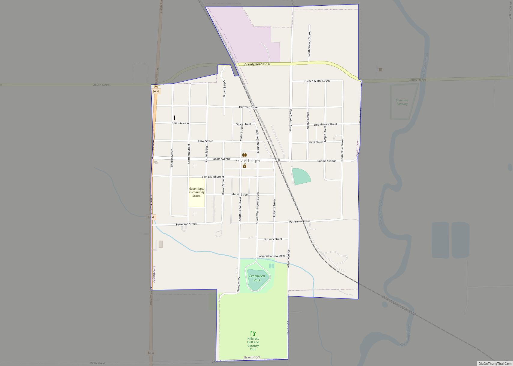
Graettinger is a city in Palo Alto County, Iowa, United States. The population was 832 at the time of the 2020 census.
| Name: | Graettinger city |
|---|---|
| LSAD Code: | 25 |
| LSAD Description: | city (suffix) |
| State: | Iowa |
| County: | Palo Alto County |
| Elevation: | 1,253 ft (382 m) |
| Total Area: | 0.75 sq mi (1.95 km²) |
| Land Area: | 0.75 sq mi (1.95 km²) |
| Water Area: | 0.00 sq mi (0.00 km²) |
| Total Population: | 832 |
| Population Density: | 1,103.45/sq mi (425.90/km²) |
| ZIP code: | 51342 |
| Area code: | 712 |
| FIPS code: | 1931800 |
| GNISfeature ID: | 0457009 |
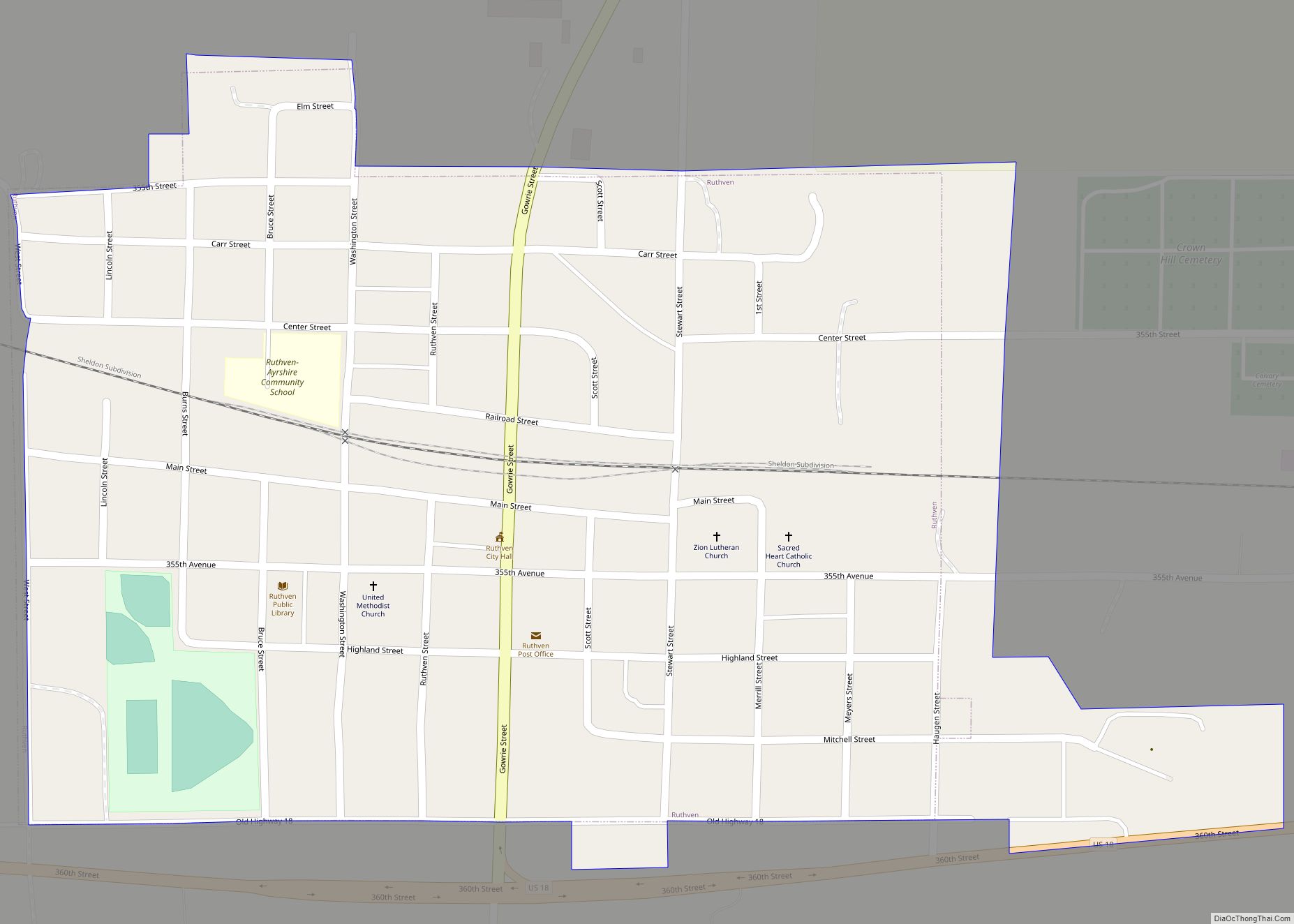
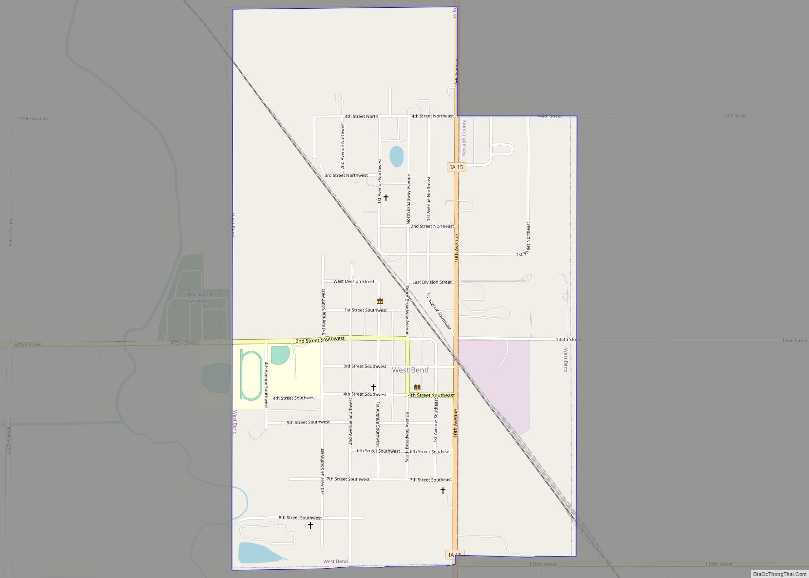
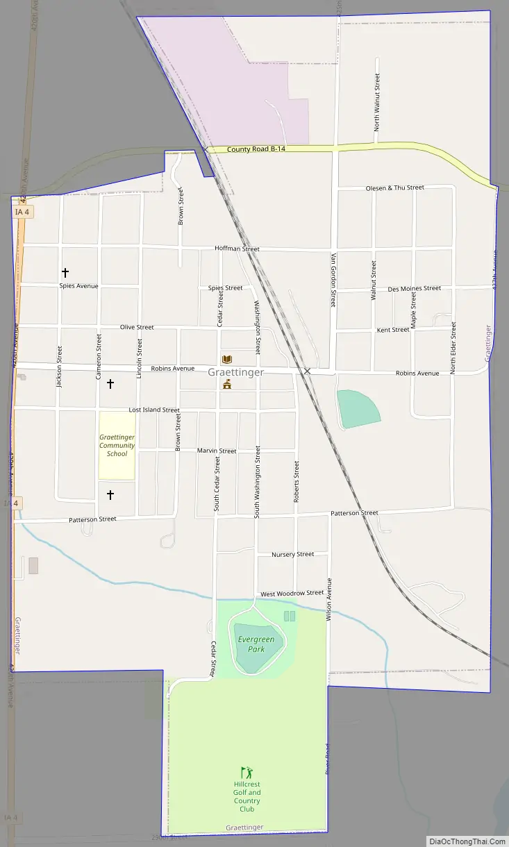
Online Interactive Map
Click on ![]() to view map in "full screen" mode.
to view map in "full screen" mode.
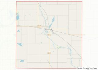
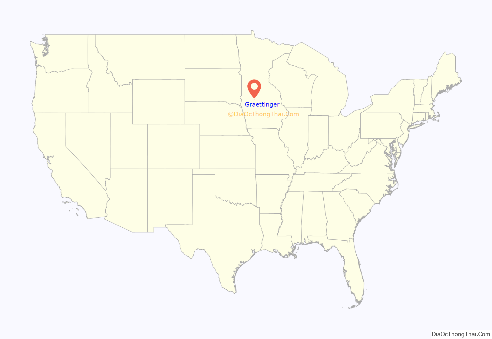
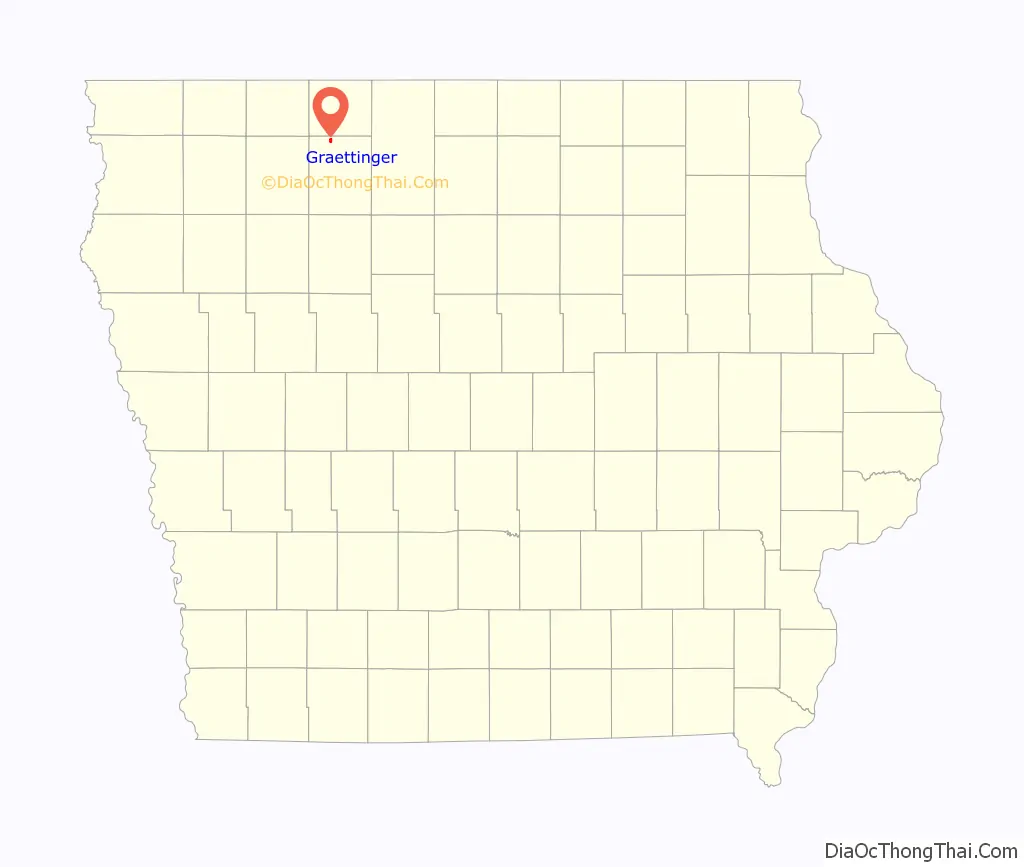
Graettinger location map. Where is Graettinger city?
History
Graettinger got its start in the 1880s, following construction of the Burlington, Cedar Rapids and Northern Railway through that territory. The land was originally owned by Dr. Alois Graettinger, a German physician who had immigrated to Milwaukee, Wisconsin. He gave the land to the railway under the condition that the town were to be named after him. Members of the Graettinger family still live in the town. They are descendants of Dr. Graettinger’s brother, Blasius, who was a stone cutter by trade but moved to Iowa to farm.
Graettinger is the location of the oldest Labor Day celebration in the state of Iowa. Each year, the town celebrates with a parade, carnival, street dance, variety show, queen coronation, raffle drawing and various other events.
About Dr. Alois Graettinger
Dr. Alois Graettinger was a German-American physician born in Passau, Bavaria, on January 10, 1834. He attended the local school and gymnasium of Passau. At the age of 18, Graettinger entered the University of Munich, completing the “biennium practicum”, after which he was assistant in the obstetrical clinic of the university for one year before leaving for Milwaukee in 1857. In 1865, he took the degree of M.D. at the Chicago Medical College and in 1878 that of the University of Munich. In 1894, Dr. Graettinger was chosen as the president of the Society of German Physicians in Milwaukee. On account of ill health he left for California in 1898, giving up practice and tilling the soil until his death due to arteriosclerosis on October 23, 1907.
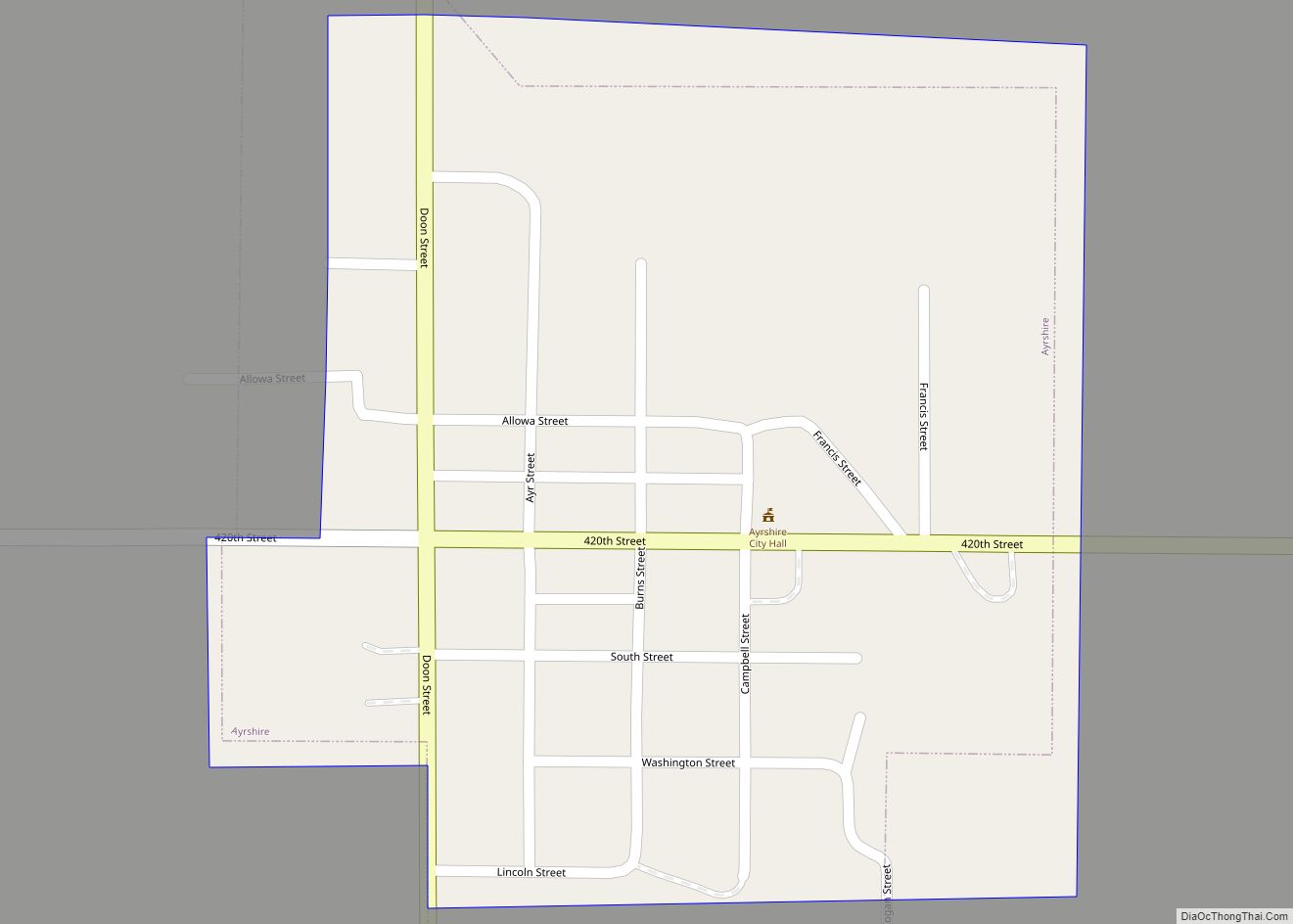
Graettinger Road Map
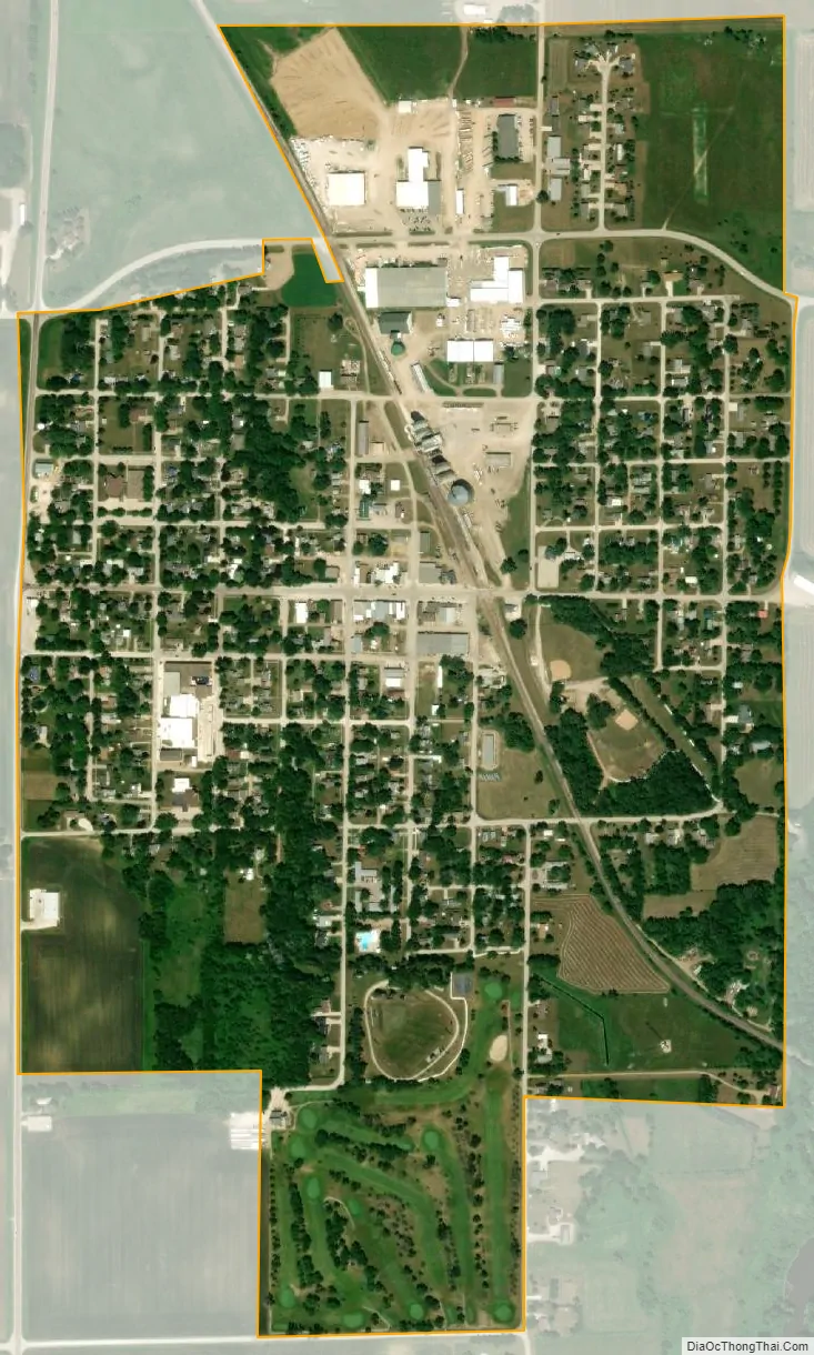
Graettinger city Satellite Map
Geography
Graettinger is located at 43°14′17″N 94°45′4″W / 43.23806°N 94.75111°W / 43.23806; -94.75111 (43.238180, -94.751217) near the Des Moines River.
According to the United States Census Bureau, the city has a total area of 0.77 square miles (1.99 km), all land.
See also
Map of Iowa State and its subdivision:- Adair
- Adams
- Allamakee
- Appanoose
- Audubon
- Benton
- Black Hawk
- Boone
- Bremer
- Buchanan
- Buena Vista
- Butler
- Calhoun
- Carroll
- Cass
- Cedar
- Cerro Gordo
- Cherokee
- Chickasaw
- Clarke
- Clay
- Clayton
- Clinton
- Crawford
- Dallas
- Davis
- Decatur
- Delaware
- Des Moines
- Dickinson
- Dubuque
- Emmet
- Fayette
- Floyd
- Franklin
- Fremont
- Greene
- Grundy
- Guthrie
- Hamilton
- Hancock
- Hardin
- Harrison
- Henry
- Howard
- Humboldt
- Ida
- Iowa
- Jackson
- Jasper
- Jefferson
- Johnson
- Jones
- Keokuk
- Kossuth
- Lee
- Linn
- Louisa
- Lucas
- Lyon
- Madison
- Mahaska
- Marion
- Marshall
- Mills
- Mitchell
- Monona
- Monroe
- Montgomery
- Muscatine
- O'Brien
- Osceola
- Page
- Palo Alto
- Plymouth
- Pocahontas
- Polk
- Pottawattamie
- Poweshiek
- Ringgold
- Sac
- Scott
- Shelby
- Sioux
- Story
- Tama
- Taylor
- Union
- Van Buren
- Wapello
- Warren
- Washington
- Wayne
- Webster
- Winnebago
- Winneshiek
- Woodbury
- Worth
- Wright
- Alabama
- Alaska
- Arizona
- Arkansas
- California
- Colorado
- Connecticut
- Delaware
- District of Columbia
- Florida
- Georgia
- Hawaii
- Idaho
- Illinois
- Indiana
- Iowa
- Kansas
- Kentucky
- Louisiana
- Maine
- Maryland
- Massachusetts
- Michigan
- Minnesota
- Mississippi
- Missouri
- Montana
- Nebraska
- Nevada
- New Hampshire
- New Jersey
- New Mexico
- New York
- North Carolina
- North Dakota
- Ohio
- Oklahoma
- Oregon
- Pennsylvania
- Rhode Island
- South Carolina
- South Dakota
- Tennessee
- Texas
- Utah
- Vermont
- Virginia
- Washington
- West Virginia
- Wisconsin
- Wyoming